Plizio Visual Lab
Randaberg
ℹ️Practical info — Randaberg
▾
🌤 Weather — 5 days
📍 Nearby
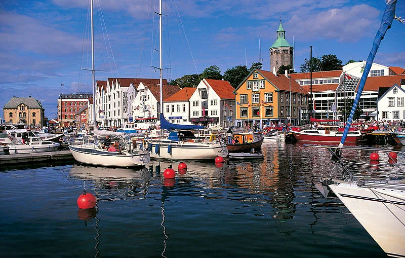
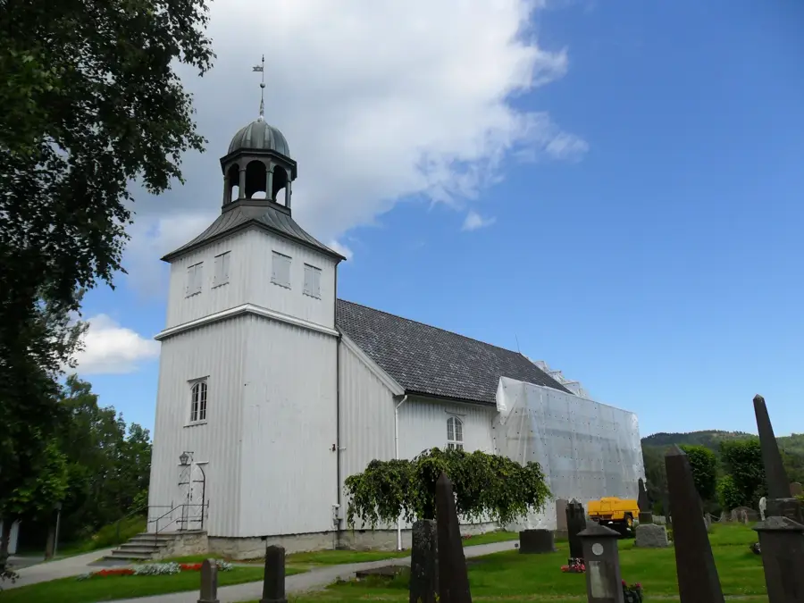
Sights nearby
💡 Tips
- Known as Norway's "parsley village", it's the well-suited place to buy fresh, locally grown produce from roadside stalls.
- Tungenes Fyr (lighthouse) marks the northern tip of the Jæren region and features spectacular views of the ship traffic.
- Vistehola, a stone-age cave, is easily accessible and a fascinating quick stop without any entrance fee.
- Renting a bicycle is a great way to explore the flat, agricultural landscape and the coastline.
🍽 Food
Pick up the famous local vegetables from farm shops (gårdsutsalg) around the municipality.
Find a cafe near the coastline or Tungenes Lighthouse serving warm, creamy seafood soup.
Enjoy freshly baked cinnamon buns at a local bakery in Randaberg center.
🛍 Shopping · 🧘 Quiet spots
The village center has independent stores and characterful flower shops.
Keep cash or the VIPPS app handy (if you have a Norwegian account) for unmanned farm stalls.
A smaller, tranquil sandy beach well-suited for a quiet afternoon near the Vistehola cave.
Walk along the rocky shore around the lighthouse to enjoy the peaceful sound of the waves.
Water temperature…
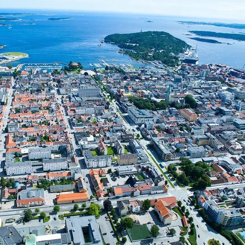
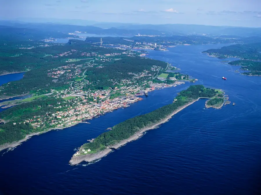
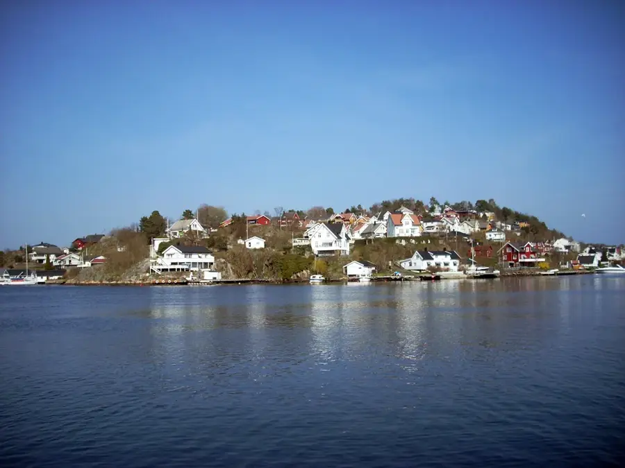
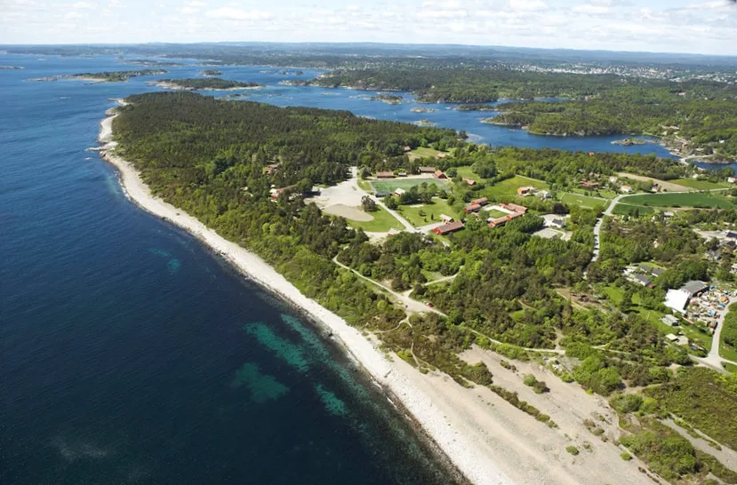
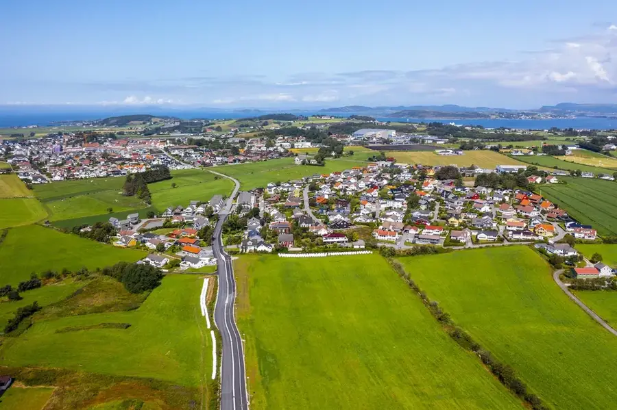
Randaberg is the northernmost municipality in the Jæren region, bordering the city of Stavanger. The municipality is widely known as 'Norway's greenest village' because over 80% of its land is dedicated to agriculture, with early potatoes and parsley being its most famous products. Historically, Randaberg is of exceptional importance due to the archaeological finds in Vistehola (Svarthola), a cave inhabited as far back as 6,000 years ago during the Stone Age. The most prominent coastal landmark is the Tungenes Lighthouse (Tungenes fyr), which now functions as a museum and cultural center. The coastal landscape is characterized by hiking trails along rocky shores and expansive fields that stretch down to the sea. Despite its proximity to urban Stavanger, Randaberg has successfully maintained its rural character while serving as a modern residential community with a high quality of life. The municipality also hosts significant telecommunications infrastructure, including submarine cable landing stations connecting Norway to Europe.
- Location: Norway
- Top sights: Svarthola/Vistehålå · Tuptene · Steingardar
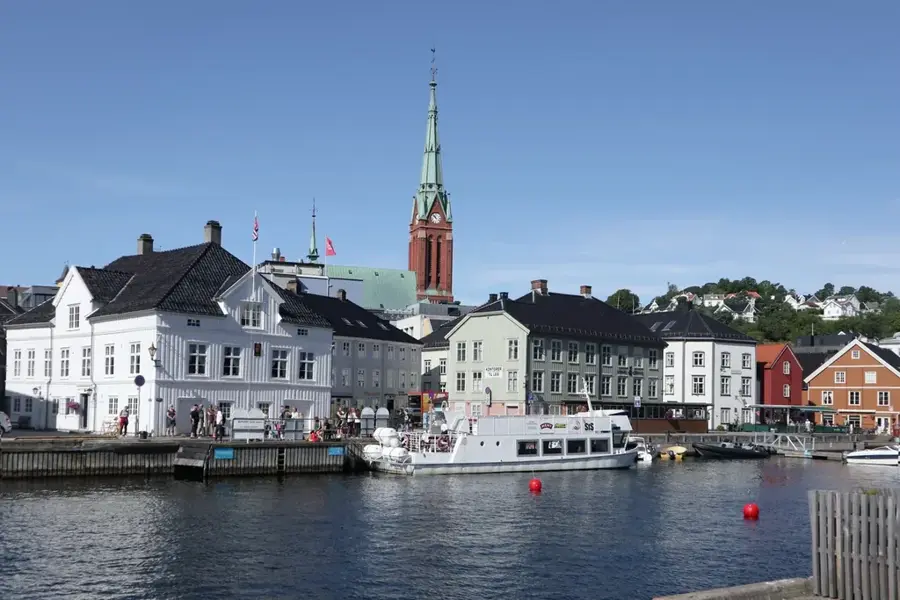
- Nearby: Old Stavanger (8 km)
- Population: ~11.841 (2026)
Best time to visit & climate
The most pleasant time to visit is Jun–Aug.
| Jan | Feb | Mar | Apr | May | Jun | Jul | Aug | Sep | Oct | Nov | Dec | |
|---|---|---|---|---|---|---|---|---|---|---|---|---|
| Avg °C | 2 | 2 | 3 | 6 | 9 | 13 | 15 | 15 | 13 | 9 | 6 | 4 |
| Rain mm | 205 | 144 | 124 | 94 | 89 | 91 | 114 | 150 | 170 | 189 | 199 | 217 |
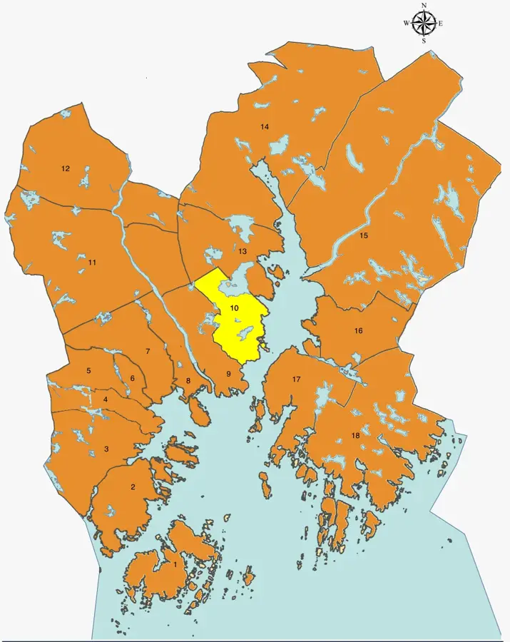
Geography
Facts
- Remains of human settlements dating back to 6000 BC were discovered in Vistehola.
- Randaberg produces approximately 80% of all parsley grown in Norway.
- The Tungenes Lighthouse was first established in the year 1828.
- Randaberg municipality covers a small land area of only about 25 square kilometers.
- More than 80% of the municipality's land is utilized for farming.
- The population of Randaberg is approximately 11,500 residents.
Explore nearby
Notable places around
Route planner — Car & Motorhome
Where do you start? We build the route here, with stops and country notes along the way.
© OpenStreetMap contributors · OpenRouteService
Sights in the town Randaberg (15)
Frequently asked questions
What is the main attraction of Randaberg?
What does 'Grønn landsby' mean?
Are there beaches in Randaberg?
What is Vistehola?
Can you go hiking in Randaberg?
Randaberg: where is it located?
Randaberg: what is there to see?
Randaberg: when is the best time to visit?
Randaberg: why is it worth visiting?

Nearby cities