Plizio Visual Lab
Kvinnherad
ℹ️Practical info — Kvinnherad
▾
🌤 Weather — 5 days
📍 Nearby
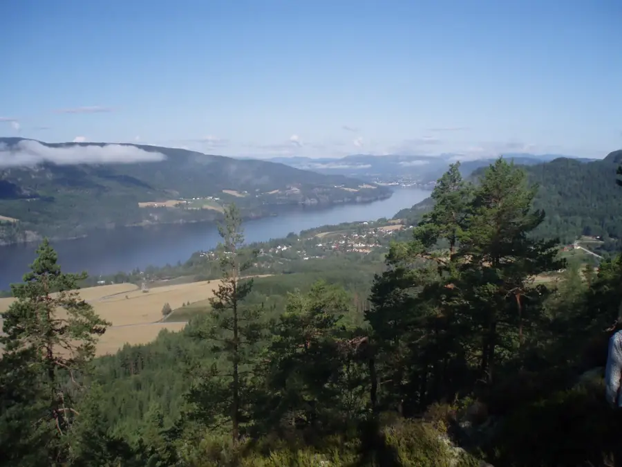
Sights nearby
💡 Tips
- Since Kvinnherad covers a large area, plan your driving routes around the ferry schedules, as they are essential for crossing the fjords.
- The weather changes rapidly near the Folgefonna glacier; always pack rain gear and warm layers.
- Wild camping is allowed under the 'Right to Roam', but keep a respectful distance from private houses and farms.
- The Maurangerfjord area features some of the most dramatic waterfalls, such as Furebergsfossen, right by the road.
🍽 Food
Buy fresh local fruit from roadside stalls during late summer, often based on an honesty box system.
Enjoy these traditional thick pancakes with sweet cheese on the local ferries.
Look for local farm restaurants serving Pinnekjøtt or lamb stew during autumn.
🛍 Shopping · 🧘 Quiet spots
Keep small change to buy fruit and honey from unstaffed roadside stalls.
Look out for small galleries and workshops along the scenic routes selling pottery and knitwear.
A memorable, quiet glacial lake accessible via a relatively easy, flat walking path in Sundal.
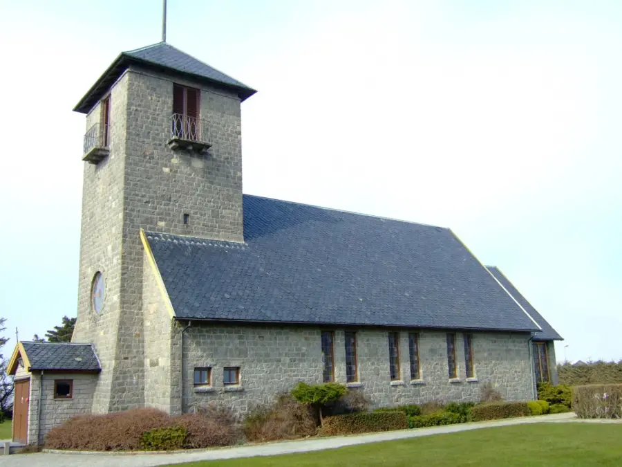
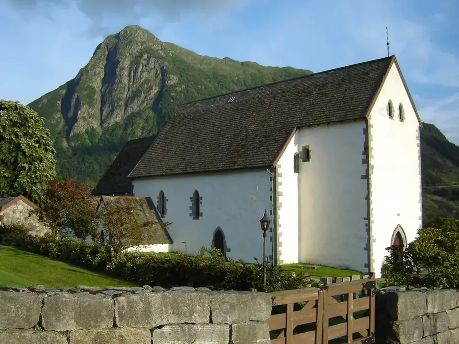
A historic, peaceful stone church situated beautifully by the fjord.
Water temperature…
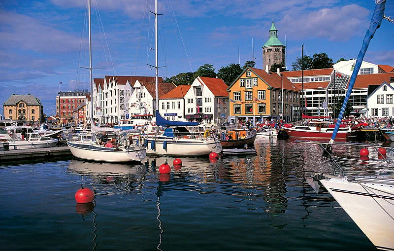
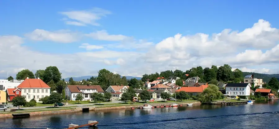
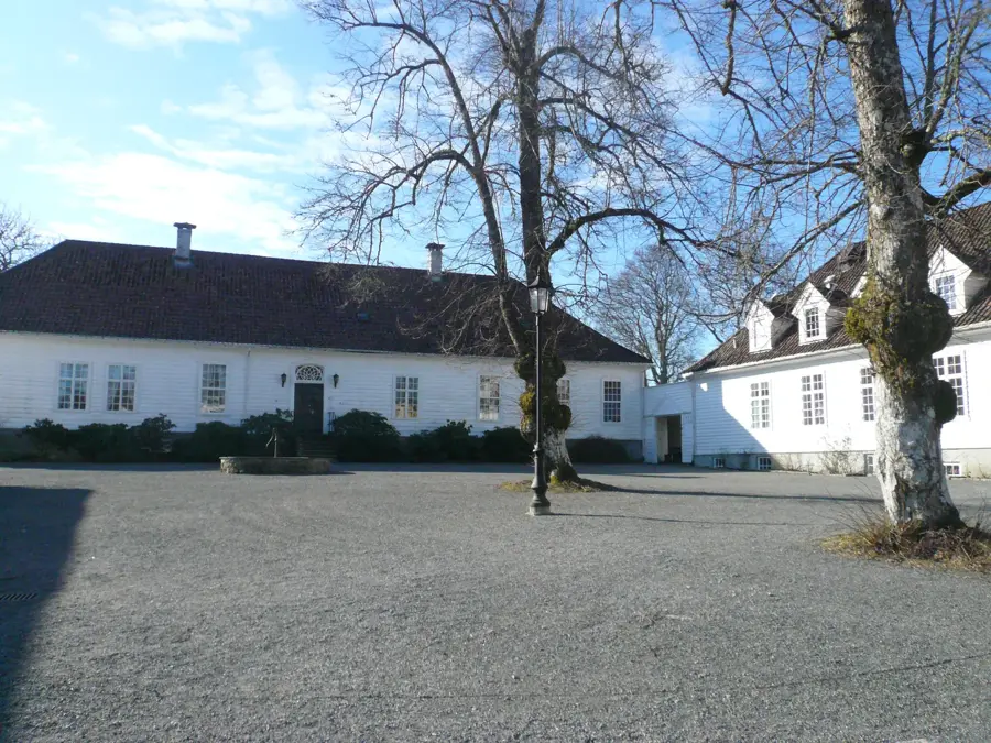
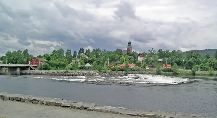
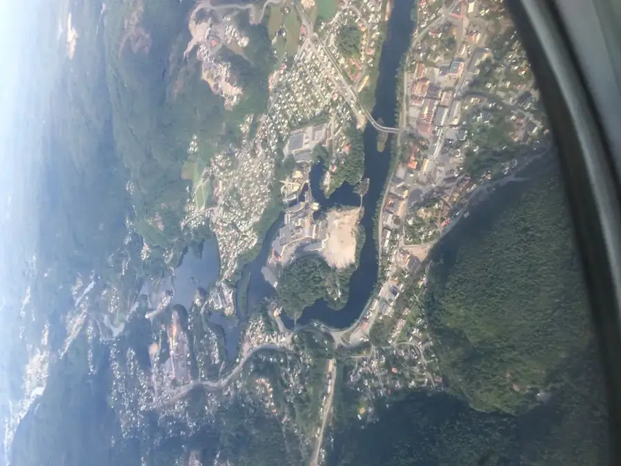
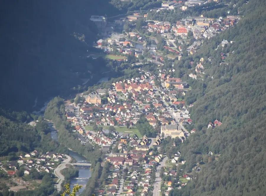
Kvinnherad is a large municipality in Vestland county, Norway, stretching across both sides of the majestic Hardangerfjord. Covering an area of approximately 1,090 square kilometers, the municipality features a diverse geography ranging from deep fjords and fertile valleys to the glacier-covered peaks of Folgefonna National Park. Its administrative center is Rosendal, while Husnes serves as the economic and industrial engine of the community. The region's history has been shaped for centuries by the exploitation of natural resources, with the modern era dominated by significant hydroelectric projects and aluminum production. Kvinnherad is also a cultural hub, home to historic sites like the Barony Rosendal and the medieval stone church at Ænes. Tourism is a key industry, as the area is a well-suited starting point for glacier trekking, hiking, and kayaking. A well-developed infrastructure, including numerous ferry routes, connects the dispersed settlements and fosters regional unity in this topographically challenging environment.
- Location: Norway
- Top sights: Nesjastølsvatnet · Botnavatna · Mannsvatnet
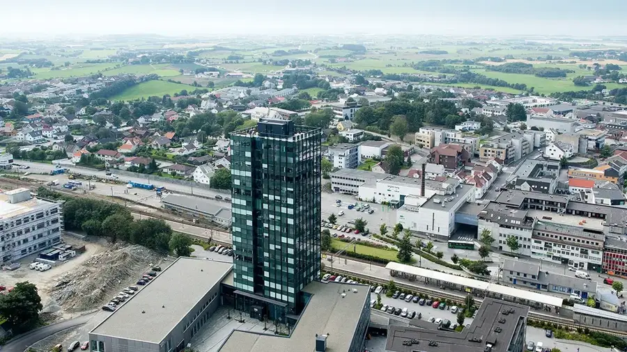
- Nearby: Rosendal (9 km)
- Population: ~225
Geography
Facts
- The municipality covers a land area of about 1,090 square kilometers
- Annual hydropower production is approximately 4.4 Terawatt-hours
- The municipality was officially established in 1838
- Home to the Folgefonna glacier, the third largest in Norway
- Kvinnherad features a total coastline of around 450 kilometers
- The Ænes stone church dates back to the 12th century
Explore nearby
Notable places around
Route planner — Car & Motorhome
Where do you start? We build the route here, with stops and country notes along the way.
© OpenStreetMap contributors · OpenRouteService
Sights in the town Kvinnherad (3)
Frequently asked questions
Where is Kvinnherad located?
What is the most famous natural destination?
Are there national parks in Kvinnherad?
What can you do at Maurangerfjord?
Are there historical churches?
Kvinnherad: where is it located?
Kvinnherad: what is there to see?
Kvinnherad: why is it worth visiting?

Nearby cities