Plizio Visual Lab
Gaya wetland
Weather…
Water temperature…
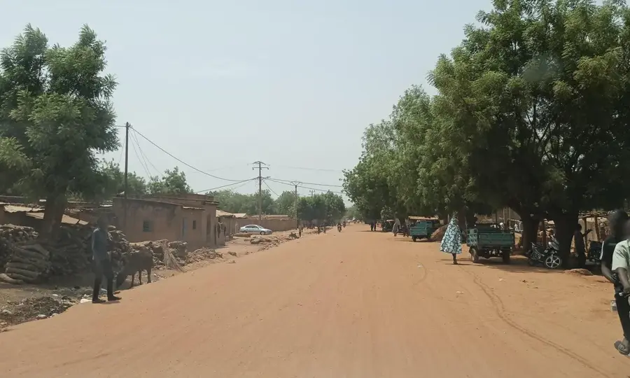
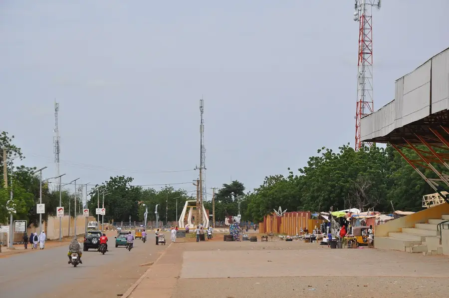
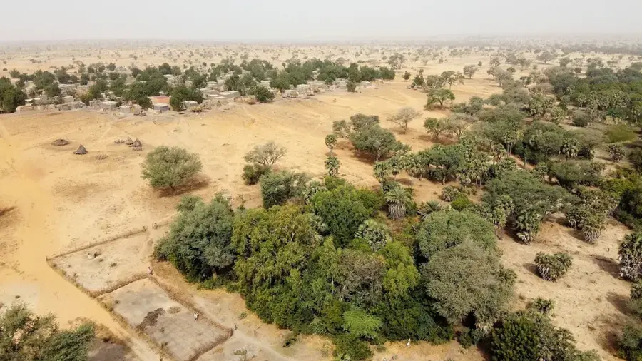
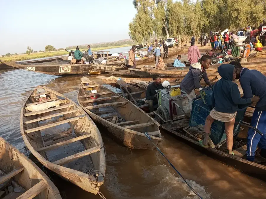
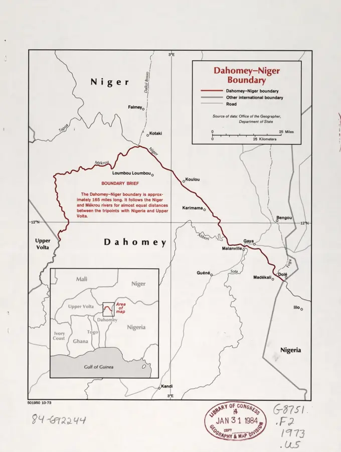
The Gaya wetland is located in the far southwest of Niger, bordering Benin and Nigeria, and represents one of the nation's most humid zones. Influenced by the proximity of the Niger River, this ecosystem provides a vital sanctuary for numerous resident and migratory bird species along the West African Flyway. The region receives the highest rainfall in Niger, supporting dense vegetation and extensive marshlands fed by seasonal river flooding. Biologically, the area is of immense significance, hosting endangered species and acting as a natural filter for the regional water system. Local communities sustainably utilize the wetland's resources for fishing and agriculture, though biodiversity protection is increasingly emphasized. Gaya also functions as a critical border crossing and commercial hub, linking landlocked Niger to coastal markets. Scientific monitoring in the area regularly documents rare herons, kingfishers, and various raptors inhabiting the diverse aquatic habitats.
Best time to visit & climate
The most pleasant time to visit is Jan, Nov, Dec.
| Jan | Feb | Mar | Apr | May | Jun | Jul | Aug | Sep | Oct | Nov | Dec | |
|---|---|---|---|---|---|---|---|---|---|---|---|---|
| Avg °C | 24 | 28 | 31 | 33 | 32 | 30 | 28 | 27 | 27 | 27 | 26 | 24 |
| Rain mm | 0 | 1 | 5 | 17 | 59 | 96 | 153 | 225 | 145 | 44 | 1 | 0 |
📋 Practical info
Geography
Facts
- Gaya is the wettest city in Niger, receiving approximately 800 mm of annual rainfall.
- The wetland is closely linked to the transboundary W-Arly-Pendjari Biosphere Reserve.
- Over 300 different bird species are recorded in the area during the migratory season.
- The Niger River reaches its maximum width within the country's borders at this location.
- Gaya sits at an elevation of roughly 200 meters, making it one of the lowest points in Niger.
- Significant portions of these marshlands are protected under the Ramsar Convention.
Explore nearby
Notable places around
Route planner — Car & Motorhome
Where do you start? We build the route here, with stops and country notes along the way.
© OpenStreetMap contributors · OpenRouteService
Sights in the town Gaya wetland (1)
Sights nearby
Frequently asked questions
When is the best time for bird watching?
Is the area easily accessible?
Are there restroom facilities on site?
Is special equipment needed?
Is it family-friendly?
Gaya wetland: where is it located?
Gaya wetland: when is the best time to visit?
Gaya wetland: why is it worth visiting?

Nature
More places