Plizio Visual Lab
Sota River

Weather…
Water temperature…
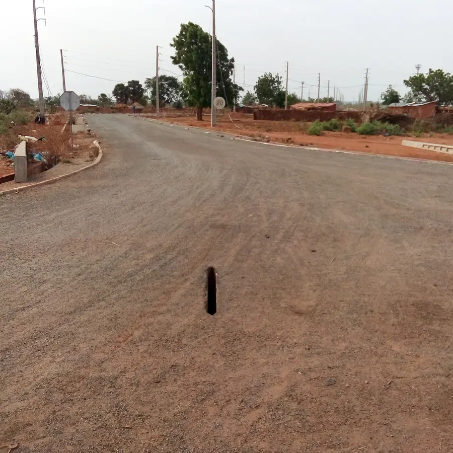
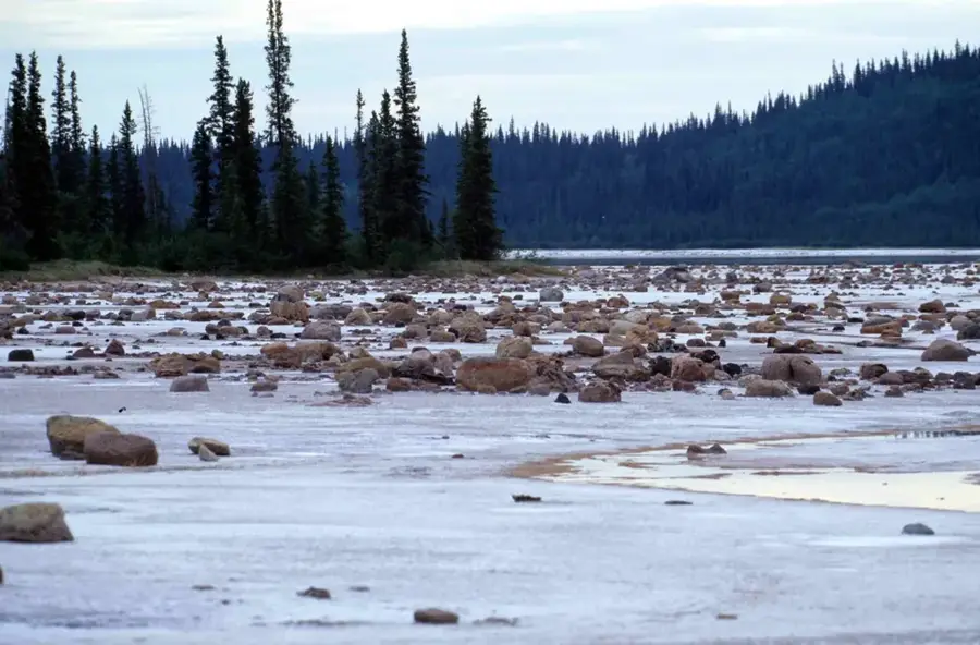
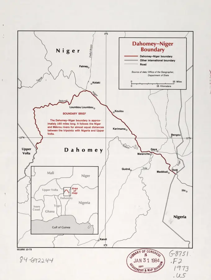
The Sota is a significant right-bank tributary of the Niger River in northeastern Benin, traversing the Borgou and Alibori departments. With a length of approximately 250 kilometers, it drains a fertile basin that plays a central role in regional agriculture. The river originates northeast of Parakou and flows steadily northward until it eventually discharges into the Niger near Malanville. Geographically, the Sota basin is characterized by savanna landscapes and seasonal wetlands, which are particularly utilized for large-scale rice cultivation. The Sota regulates the water balance in the region and becomes an imposing body of water during the rainy season, often flooding parts of the adjacent plains. Ecologically, the river supports a variety of aquatic species and serves as a corridor for wildlife between the different protected areas in the north. Despite agricultural use, preserving the riparian vegetation is essential to prevent erosion and ensure water quality for downstream communities. It is an indispensable economic asset for northeastern Benin.
Best time to visit & climate
The most pleasant time to visit is Jan, Nov, Dec.
| Jan | Feb | Mar | Apr | May | Jun | Jul | Aug | Sep | Oct | Nov | Dec | |
|---|---|---|---|---|---|---|---|---|---|---|---|---|
| Avg °C | 24 | 28 | 31 | 33 | 32 | 30 | 28 | 27 | 27 | 27 | 26 | 24 |
| Rain mm | 0 | 1 | 5 | 17 | 59 | 96 | 153 | 225 | 145 | 44 | 1 | 0 |
📋 Practical info
Geography
Facts
- The Sota has a length of approximately 250 km from its source to its mouth.
- The Sota basin is one of Benin's most important rice-growing regions.
- The river discharges into the Niger north of the town of Malanville.
- A dam at Couberi regulates the water flow for irrigation projects.
- Annual rainfall in the drainage basin is approximately 1,000 to 1,100 mm.
- The river traverses several important nature reserves and forest sanctuaries.
Explore nearby
Notable places around
Route planner — Car & Motorhome
Where do you start? We build the route here, with stops and country notes along the way.
© OpenStreetMap contributors · OpenRouteService
Sights in the town Sota River (1)
Sights nearby
Frequently asked questions
What drainage basin does the Sota have?
Is the river used for irrigation?
Is the river navigable?
Are there bridges over the Sota?
Can you fish there?
Sota River: where is it located?
Sota River: when is the best time to visit?
Sota River: why is it worth visiting?

Nature
More places