Plizio Visual Lab
Gourma Lowland

Weather…
Water temperature…
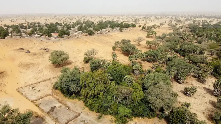
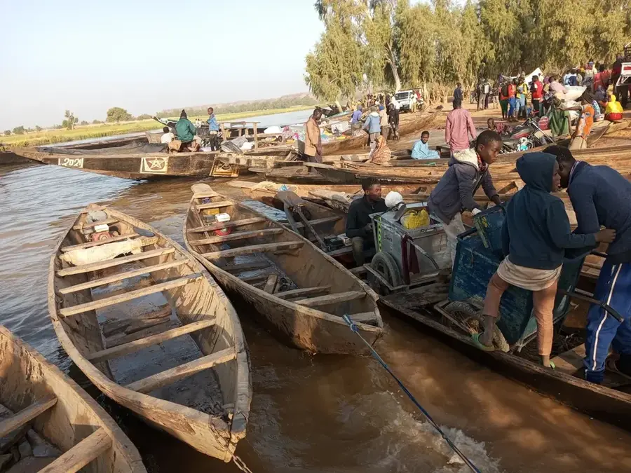
The Gourma Lowland is a vital transboundary ecological zone shared between Niger, Mali, and Burkina Faso. This Sahelian savanna landscape is characterized by its seasonal wetlands and ephemeral lakes, such as Lake Bangao, which provide critical water for wildlife. It is most famous for being the primary habitat of the northernmost elephant population in Africa, known for their long annual migrations. The region supports traditional pastoralism, with Fulani and Tuareg herders relying on the lush grasses that emerge after the rains. Annual precipitation typically ranges from 200 to 400 millimeters, dictating the rhythm of life for both people and animals. Conservation efforts are ongoing to protect this fragile ecosystem from desertification and habitat loss, ensuring the survival of its unique biodiversity.
- Location: Niger
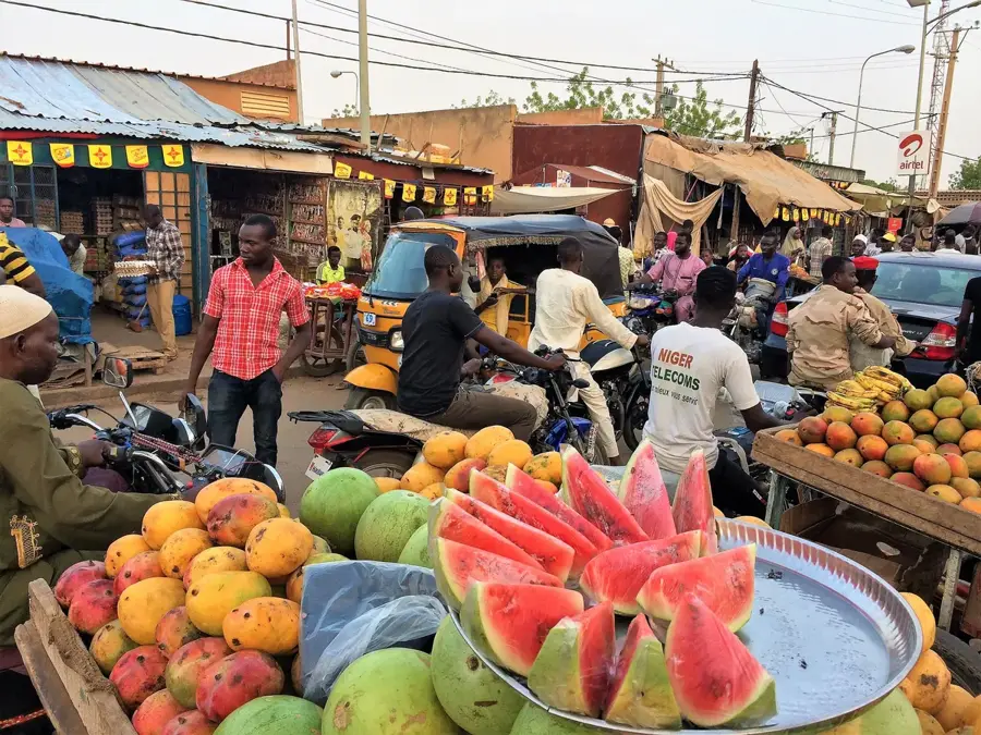
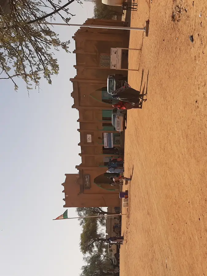
- Nearby: Bankilaré (13 km)
Best time to visit & climate
The most pleasant time to visit is Jan, Feb, Dec.
| Jan | Feb | Mar | Apr | May | Jun | Jul | Aug | Sep | Oct | Nov | Dec | |
|---|---|---|---|---|---|---|---|---|---|---|---|---|
| Avg °C | 22 | 26 | 30 | 34 | 35 | 33 | 31 | 28 | 29 | 30 | 27 | 24 |
| Rain mm | 0 | 1 | 0 | 4 | 11 | 55 | 118 | 157 | 64 | 12 | 0 | 0 |
📋 Practical info
Geography
Facts
- The lowland spans across the borders of Niger, Mali, and Burkina Faso.
- It is home to the northernmost herd of African elephants in the world.
- Seasonal rainfall in the region averages between 200 and 400 millimeters.
- Lake Bangao serves as a crucial permanent water source during the dry season.
- Elephants here migrate over 600 kilometers annually in search of water.
- The vegetation is primarily composed of acacia trees and Sahelian grasses.
Explore nearby
Notable places around
Route planner — Car & Motorhome
Where do you start? We build the route here, with stops and country notes along the way.
© OpenStreetMap contributors · OpenRouteService
Sights nearby
Frequently asked questions
Is the Gourma-Lowland suitable for hiking?
What animals can you see?
Are there marked paths?
When should you avoid the area?
Is a permit required for entry?
Gourma Lowland: where is it located?
Gourma Lowland: when is the best time to visit?
Gourma Lowland: why is it worth visiting?

Nearby cities


More places