Plizio Visual Lab
Niger River (Benin section)
Weather…
Water temperature…
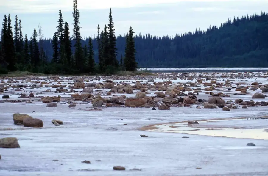
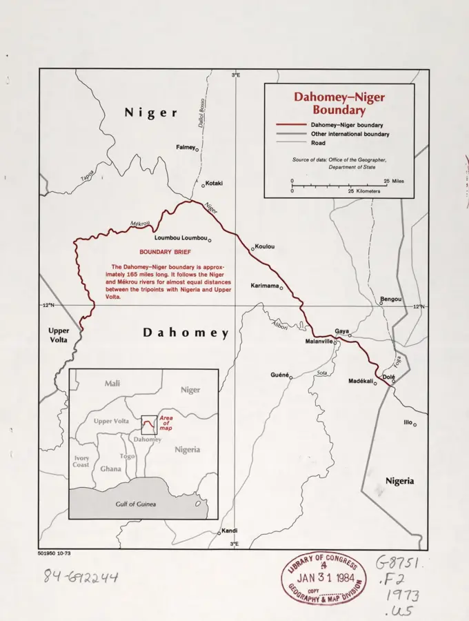
The Niger River forms the natural border with the neighboring state of Niger in the extreme north of Benin for a length of approximately 120 kilometers. This section of Africa's third-longest river is of crucial importance for the Alibori region, particularly for the commercial town of Malanville. Geographically, the river is characterized here by wide floodplains and seasonal inundation areas, which enable intensive agriculture in an otherwise dry Sudano-Sahelian zone. The Niger serves as a vital resource for the irrigation of rice fields and for local fishing, ensuring the food security of thousands of people. Furthermore, the river is a central transport artery for transborder trade, with the Malanville bridge representing a strategic link. Ecologically, this river section supports a diverse fauna, including hippos and numerous migratory birds that use the riverbanks. Cooperation between Benin and Niger within the framework of the Niger Basin Authority is essential for the sustainable use and protection of this transboundary waterway. The river defines the economic and ecological profile of northern Benin.
Best time to visit & climate
The most pleasant time to visit is Jan, Nov, Dec.
| Jan | Feb | Mar | Apr | May | Jun | Jul | Aug | Sep | Oct | Nov | Dec | |
|---|---|---|---|---|---|---|---|---|---|---|---|---|
| Avg °C | 25 | 28 | 32 | 34 | 32 | 30 | 28 | 27 | 27 | 28 | 27 | 25 |
| Rain mm | 0 | 1 | 6 | 17 | 57 | 93 | 146 | 211 | 135 | 41 | 1 | 0 |
📋 Practical info
Geography
Facts
- The Niger is the third longest river in Africa, with a total length of approx. 4,180 km.
- The Beninese section forms the northern border of the Alibori Department.
- The bridge at Malanville is the only physical link across the river between Benin and Niger.
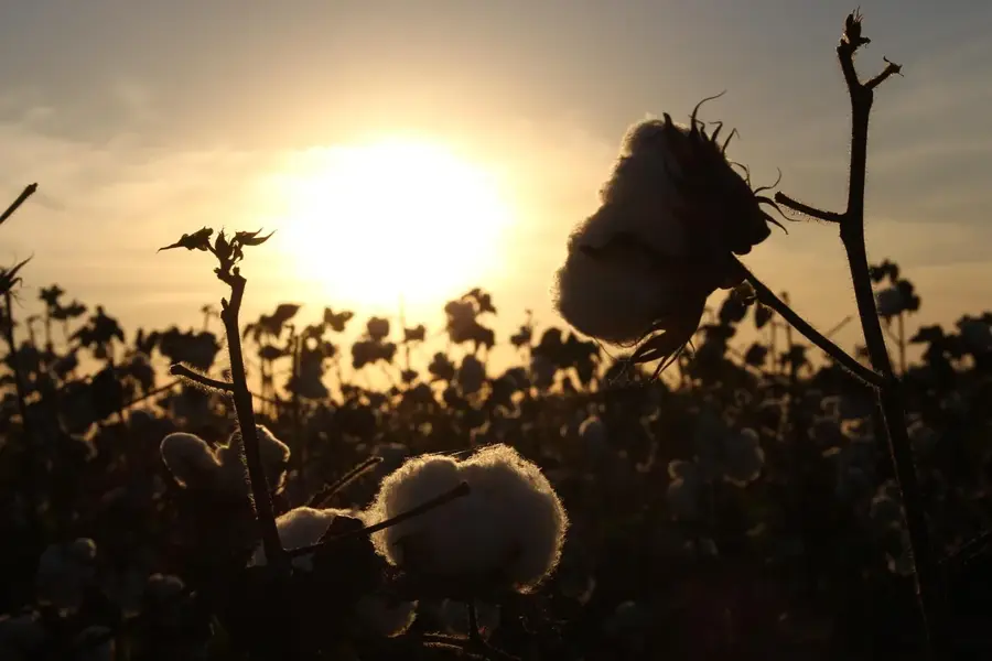
- In the Malanville region, the river is intensively used for rice cultivation.
- During the flood period (September-October), the water level rises significantly.
- The river section is part of the W Transnational Park, a UNESCO World Heritage site.
Explore nearby
Notable places around
Route planner — Car & Motorhome
Where do you start? We build the route here, with stops and country notes along the way.
© OpenStreetMap contributors · OpenRouteService
Sights nearby
Frequently asked questions
How does the Niger form Benin's border?
Which city is on the Niger in Benin?
Can you cross the river by ferry?
Are there hippos there?
How wide is the river there?
Niger River (Benin section): where is it located?
Niger River (Benin section): when is the best time to visit?
Niger River (Benin section): why is it worth visiting?

Nature
More places