Plizio Visual Lab
Niger Valley Plain

Weather…
Water temperature…
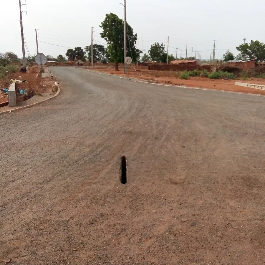
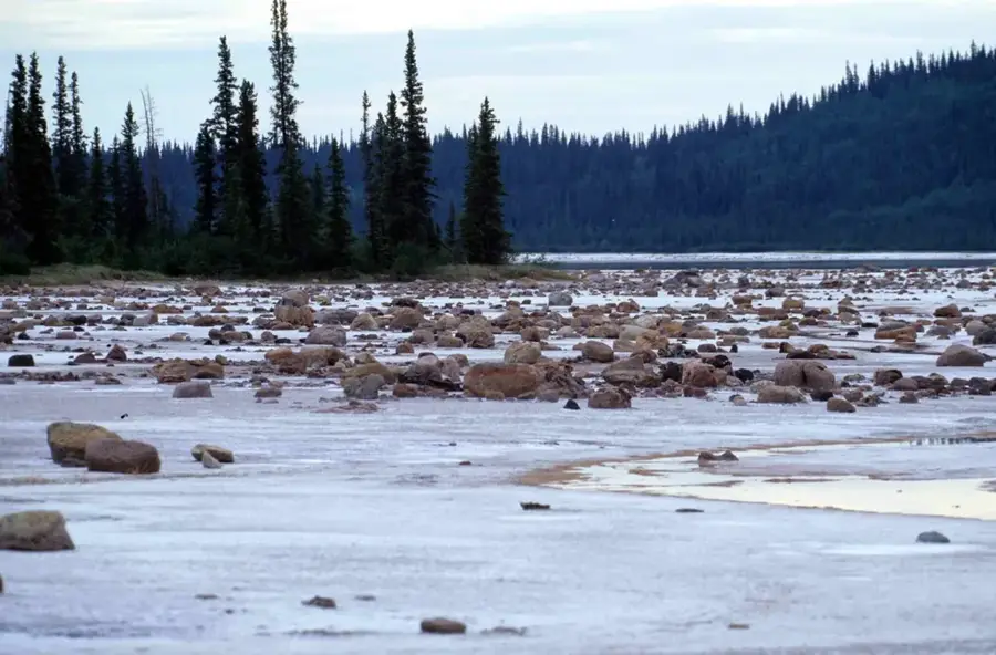
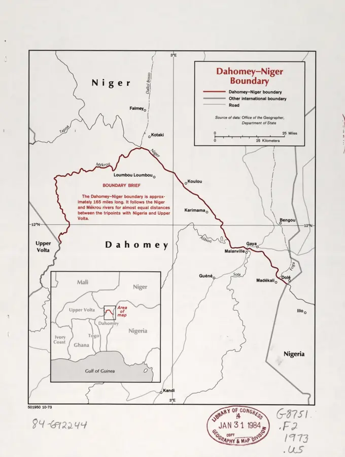
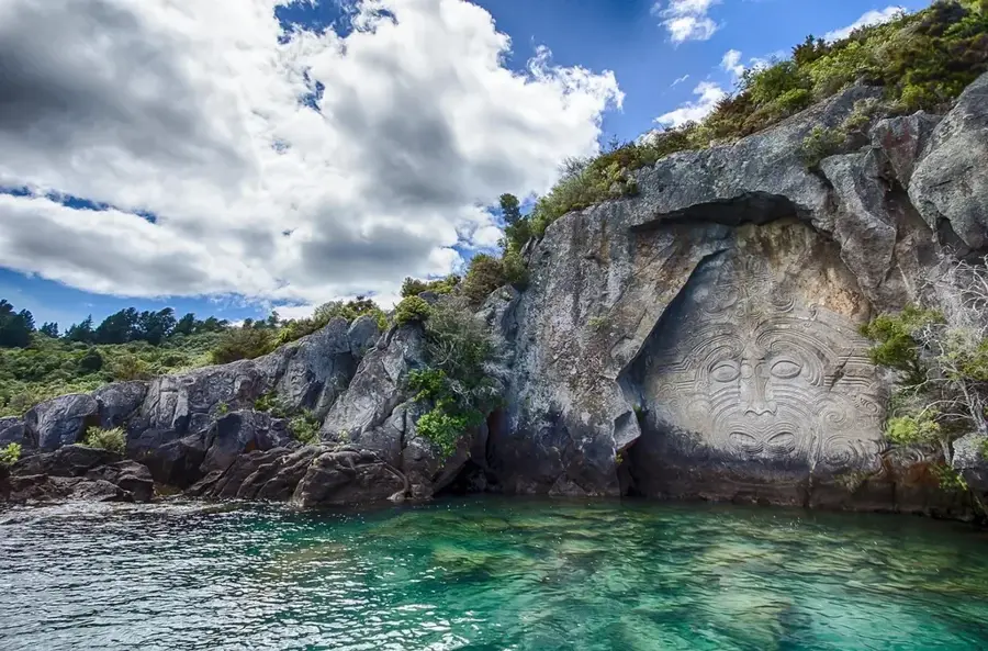
The Niger Valley Plain forms Benin's natural northern border and extends along the Niger River within the Alibori Department. This expansive alluvial plain is characterized by seasonal flooding that deposits fertile silt, enabling intensive agricultural activities. Historically, the valley has been a vital water source and a trade corridor connecting the interior of West Africa with Saharan routes. Geographically, the plain is marked by vast wetlands, sandbanks, and river islands, which provide essential grazing lands for nomadic cattle herds during the dry season. The region serves as a major hub for rice cultivation and fishing, forming the livelihood for thousands of inhabitants. Ecologically, the plain is a haven for waterfowl and includes parts of the transboundary W National Park. The river's dynamics, with significant water level fluctuations between the rainy and dry seasons, dictate the rhythm of social and economic life. In recent years, efforts have intensified to promote cross-border cooperation for the protection of the Niger ecosystem.
Best time to visit & climate
The most pleasant time to visit is Jan, Nov, Dec.
| Jan | Feb | Mar | Apr | May | Jun | Jul | Aug | Sep | Oct | Nov | Dec | |
|---|---|---|---|---|---|---|---|---|---|---|---|---|
| Avg °C | 25 | 28 | 32 | 34 | 32 | 30 | 28 | 27 | 27 | 28 | 27 | 25 |
| Rain mm | 0 | 1 | 6 | 17 | 57 | 93 | 146 | 211 | 135 | 41 | 1 | 0 |
📋 Practical info
Geography
Facts
- The Niger River forms the border with Niger for a distance of about 120 km.
- The plain lies at a low elevation of approximately 160 to 180 meters.
- The annual flood wave typically reaches the Beninese section in January.
- Over 25,000 hectares of land in the plain are dedicated to rice cultivation.
- The region hosts one of West Africa's last elephant populations in the W Park.
- Average temperatures can soar up to 42°C during the month of April.
Explore nearby
Notable places around
Route planner — Car & Motorhome
Where do you start? We build the route here, with stops and country notes along the way.
© OpenStreetMap contributors · OpenRouteService
Sights in the town Niger Valley Plain (1)
Sights nearby
Frequently asked questions
Where is the Niger Valley located in Benin?
What is the significance of the Niger River here?
What products come from the Niger Valley?
Are there hippos there?
What is the climate like in the Niger Valley?
Niger Valley Plain: where is it located?
Niger Valley Plain: when is the best time to visit?
Niger Valley Plain: why is it worth visiting?

Nature
More places