Plizio Visual Lab
Alibori River

Weather…
Water temperature…
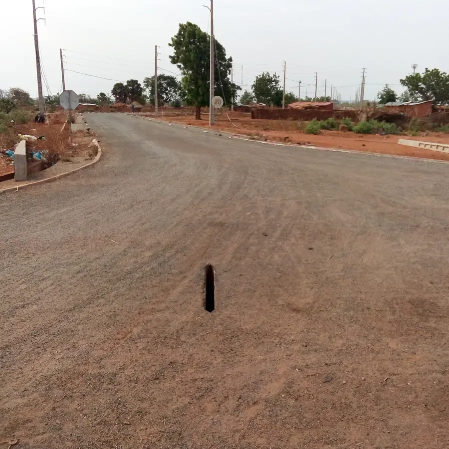
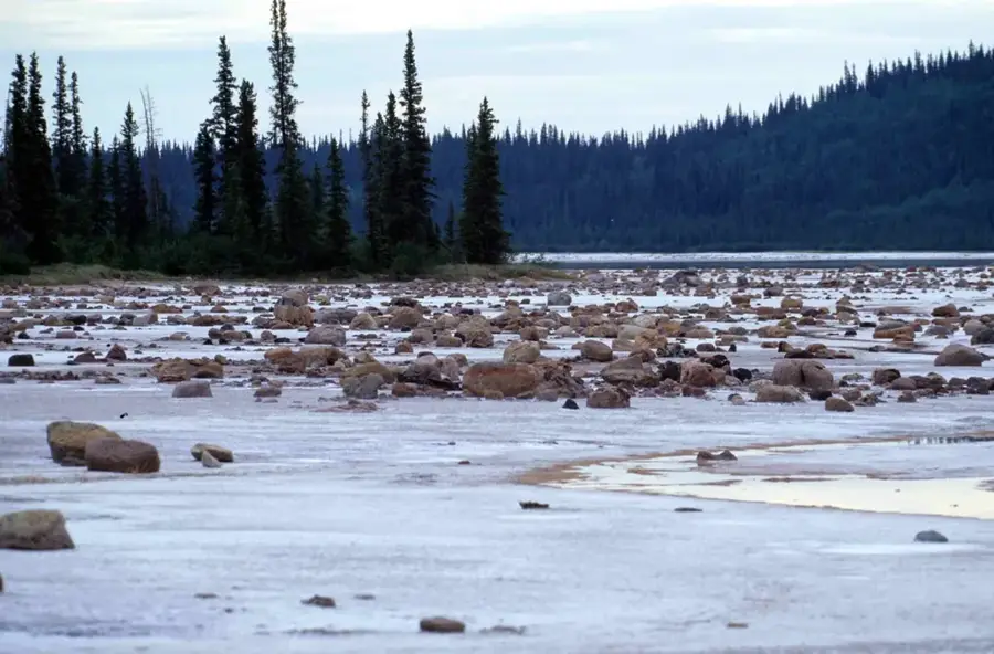
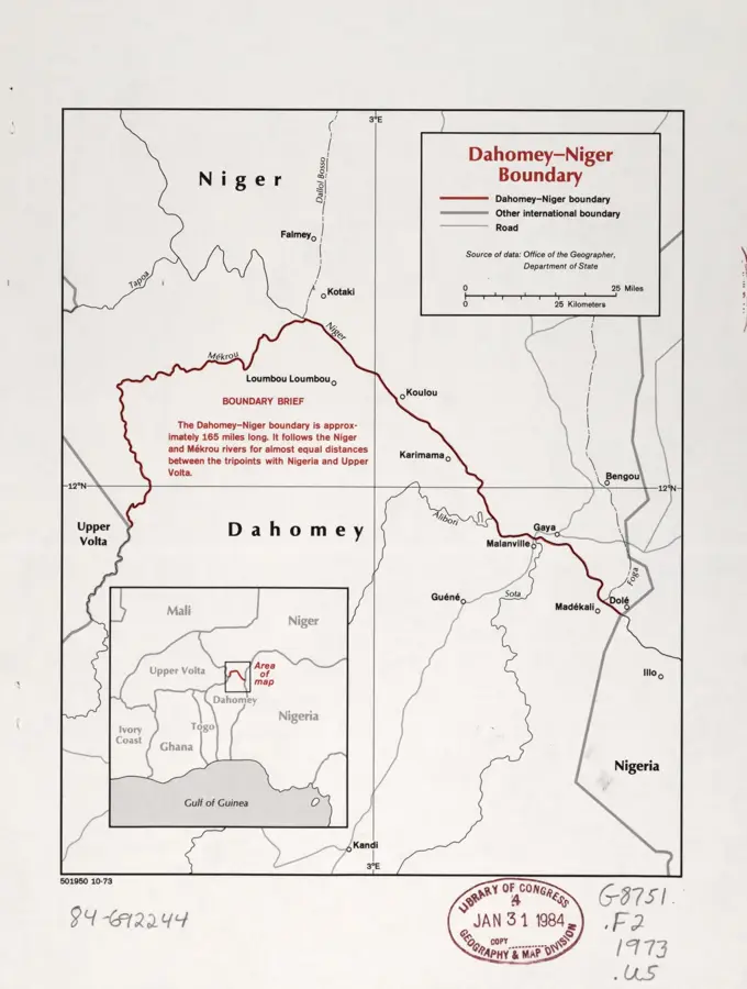
The Alibori River is a major tributary of the Niger River located in northern Benin, flowing through and naming the Alibori Department. Spanning approximately 338 kilometers, the river originates near the town of Péhunko and flows in a northeasterly direction until it joins the Niger River at the border with Niger. Its drainage basin covers an estimated area of 13,400 square kilometers and is ecologically significant as it traverses parts of the W National Park, a transboundary UNESCO World Heritage site. The river's flow is highly seasonal, characterized by significant flooding during the rainy season which supports local agriculture, followed by periods in the dry season when parts of the riverbed can nearly dry up. It serves as a critical water source for the region's diverse wildlife, including elephants, hippos, and various bird species that inhabit the gallery forests lining its banks.
Best time to visit & climate
The most pleasant time to visit is Jan, Nov, Dec.
| Jan | Feb | Mar | Apr | May | Jun | Jul | Aug | Sep | Oct | Nov | Dec | |
|---|---|---|---|---|---|---|---|---|---|---|---|---|
| Avg °C | 24 | 28 | 31 | 33 | 32 | 30 | 28 | 27 | 27 | 27 | 26 | 24 |
| Rain mm | 0 | 1 | 5 | 17 | 59 | 96 | 153 | 225 | 145 | 44 | 1 | 0 |
📋 Practical info
Geography
Facts
- Length of approx. 338 km
- Drainage basin of 13,400 km²
- Tributary of the Niger River
- Flows through W National Park
- Source located near Péhunko
- Highly seasonal water flow
Explore nearby
Notable places around
Route planner — Car & Motorhome
Where do you start? We build the route here, with stops and country notes along the way.
© OpenStreetMap contributors · OpenRouteService
Sights in the town Alibori River (1)
Sights nearby
Frequently asked questions
What is the course of the Alibori?
Are there protected areas there?
What is the vegetation like on the bank?
What animals drink there?
Can you cross the river?
Alibori River: where is it located?
Alibori River: when is the best time to visit?
Alibori River: why is it worth visiting?

Nature
More places