Plizio Visual Lab
Dallol-Maouri Depression

Weather…
Water temperature…
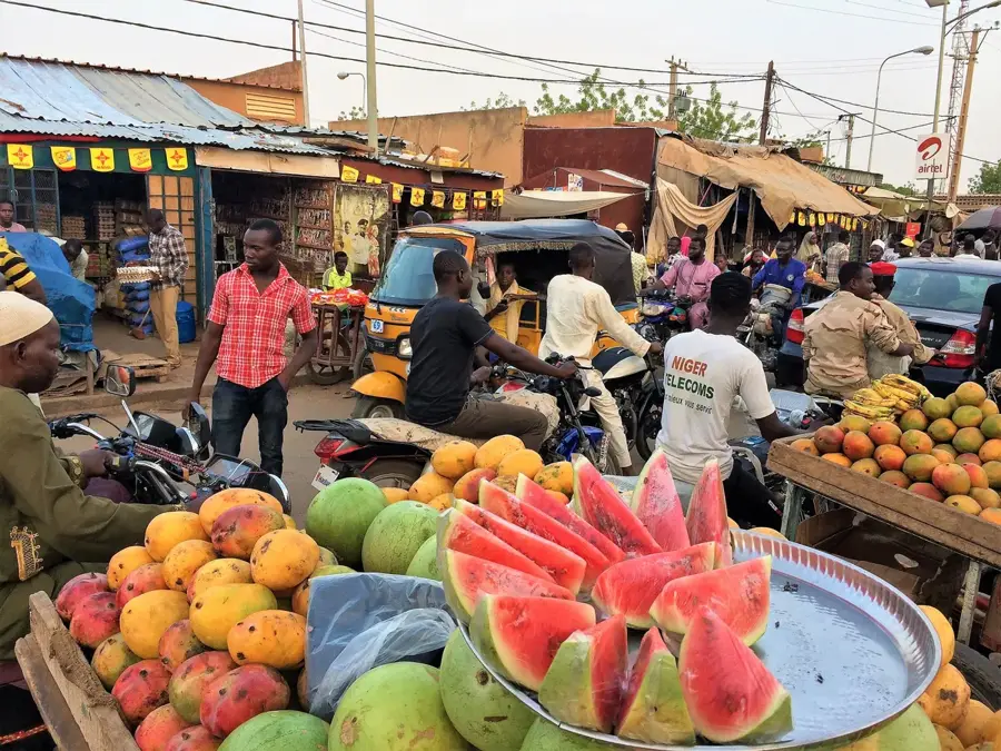
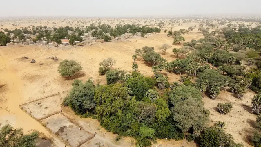
Dallol Maouri is an extensive fossil river valley located in the Dosso region of southwestern Niger. It forms part of a larger ancient hydrographic network that once drained into the Niger River but has since become mostly dry due to long-term desertification. The geomorphology of the valley is characterized by a wide, flat floor bordered by steep lateritic plateaus, giving it a canyon-like appearance. Despite the absence of permanent surface water flow, Dallol Maouri contains rich groundwater reserves accessible at shallow depths. This makes the region one of Niger's most productive agricultural areas, where irrigation is used to grow onions, rice, and various grains. Culturally, the valley is named after the Maouri ethnic group, who have inhabited the area for centuries and developed complex traditional social structures. During the rainy season, temporary ponds can form, which are essential for local livestock and wildlife. The relatively lush vegetation on the valley floor provides a stark contrast to the surrounding arid plateaus.
- Location: Niger
- Nearby: Dosso (28 km)
Best time to visit & climate
The most pleasant time to visit is Jan, Nov, Dec.
| Jan | Feb | Mar | Apr | May | Jun | Jul | Aug | Sep | Oct | Nov | Dec | |
|---|---|---|---|---|---|---|---|---|---|---|---|---|
| Avg °C | 24 | 27 | 31 | 34 | 34 | 31 | 29 | 27 | 27 | 28 | 27 | 24 |
| Rain mm | 0 | 0 | 2 | 6 | 31 | 91 | 147 | 211 | 99 | 22 | 1 | 0 |
📋 Practical info
Geography
Facts
- The valley stretches for a total length of more than 200 kilometers.
- It is designated as a Ramsar site of international wetland importance.
- The water table is typically reached at depths of 2 to 10 meters.
- The region is Niger's primary area for onion production (Violet de Galmi).
- The valley's escarpments are composed of ferruginous laterite crusts.
- Historically, the valley marked the boundary between various Hausa states.
Explore nearby
Notable places around
Route planner — Car & Motorhome
Where do you start? We build the route here, with stops and country notes along the way.
© OpenStreetMap contributors · OpenRouteService
Sights nearby
Frequently asked questions
What is the Dallol-Maouri?
Is the area safe to travel?
Are there sights to see?
What language is spoken there?
Can you eat well there?
Dallol-Maouri Depression: where is it located?
Dallol-Maouri Depression: when is the best time to visit?
Dallol-Maouri Depression: why is it worth visiting?

Nature
More places