Plizio Visual Lab
Dallol-Bosso Valley
Weather…
Water temperature…
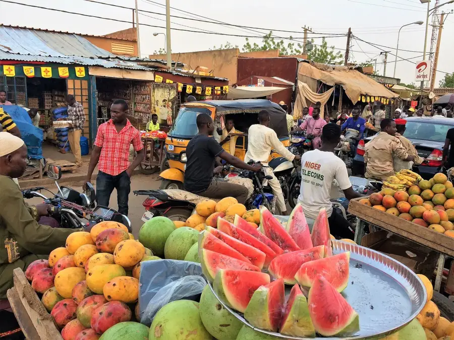
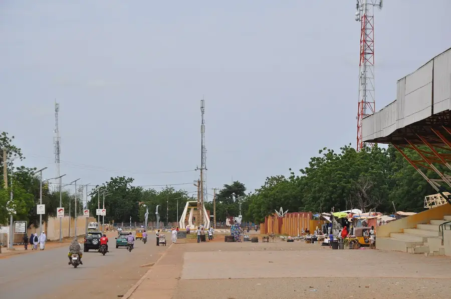
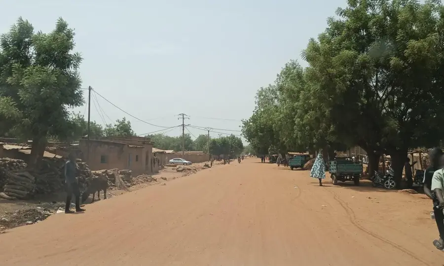
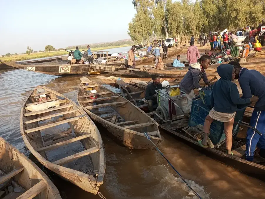
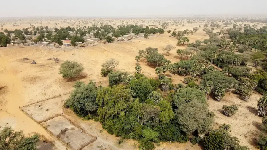
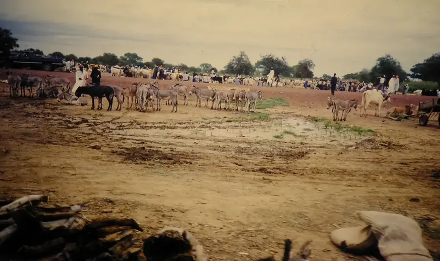
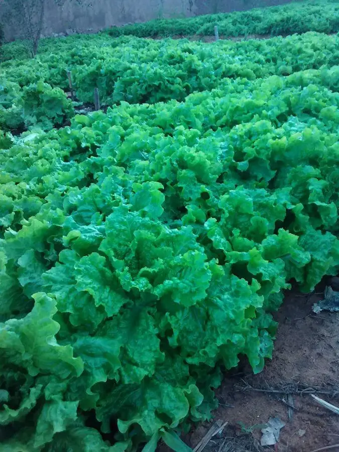
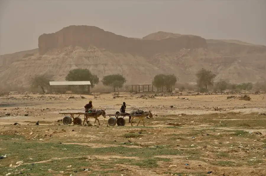
Dallol Bosso is one of the most significant fossil river valleys in southwestern Niger, stretching for hundreds of kilometers across the landscape. Originally a major tributary of the Niger River, it now only carries surface water during the peak of the rainy season. Geologically, it is a broad, flat depression filled with Quaternary sediments, hosting substantial groundwater reserves close to the surface. These water resources allow for the cultivation of crops and vegetables even during the long dry season, making the valley a vital oasis in the Sahel region. The width of the valley varies between 5 and 15 kilometers, often bordered by low-lying sandstone plateaus. Historically, Dallol Bosso has been a crucial migration corridor for nomadic groups, particularly the Fulani people. The valley's ecological importance is highlighted by its dense stands of Doum palms and its role as a sanctuary for various bird species.
- Location: Niger
- Nearby: Kouré (23 km)
Best time to visit & climate
The most pleasant time to visit is Jan, Feb, Dec.
| Jan | Feb | Mar | Apr | May | Jun | Jul | Aug | Sep | Oct | Nov | Dec | |
|---|---|---|---|---|---|---|---|---|---|---|---|---|
| Avg °C | 23 | 27 | 31 | 34 | 34 | 32 | 29 | 27 | 28 | 29 | 27 | 24 |
| Rain mm | 0 | 1 | 1 | 5 | 22 | 78 | 131 | 183 | 82 | 18 | 0 | 0 |
📋 Practical info
Geography
Facts
- The valley extends over a total length of approximately 300 kilometers.
- It is a relic of a river system from the humid Holocene epoch.
- The water table is often located just a few meters beneath the surface.
- The width of the fossil valley reaches up to 15 kilometers in some sections.
- The area is a key center for off-season agricultural production.
- It belongs to the hydrographic basin of the middle Niger River.
Explore nearby
Notable places around
Route planner — Car & Motorhome
Where do you start? We build the route here, with stops and country notes along the way.
© OpenStreetMap contributors · OpenRouteService
Sights nearby
Frequently asked questions
How is the Dallol-Bosso valley characterized?
Is the region agriculturally significant?
Can a tourist hike there?
How do I best reach the valley?
Are there hotels there?
Dallol-Bosso Valley: where is it located?
Dallol-Bosso Valley: when is the best time to visit?
Dallol-Bosso Valley: why is it worth visiting?

Nearby cities
History & landmarks
Nature
More places