Plizio Visual Lab
Erg Ténéré Dunes
Weather…
Water temperature…
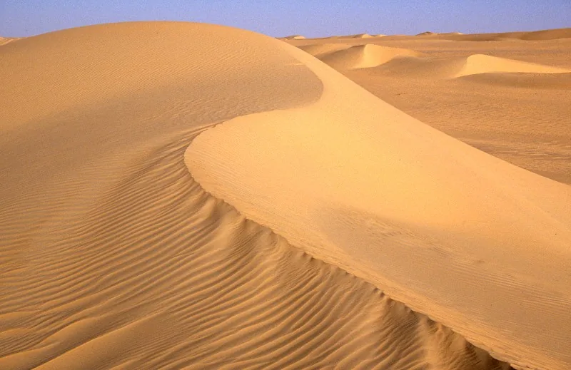
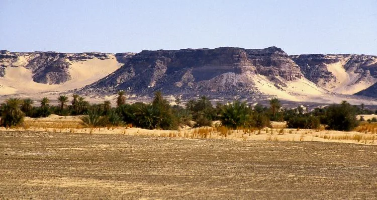
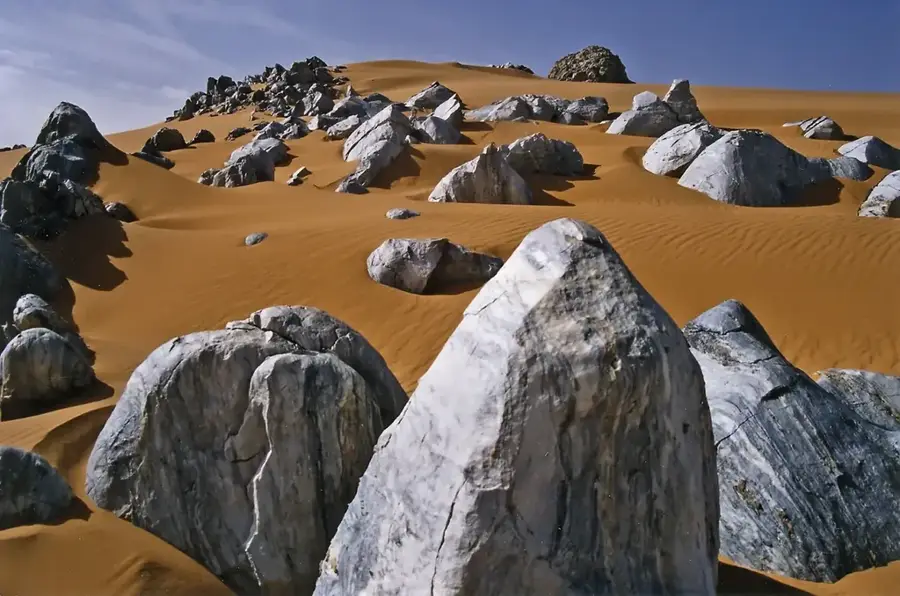
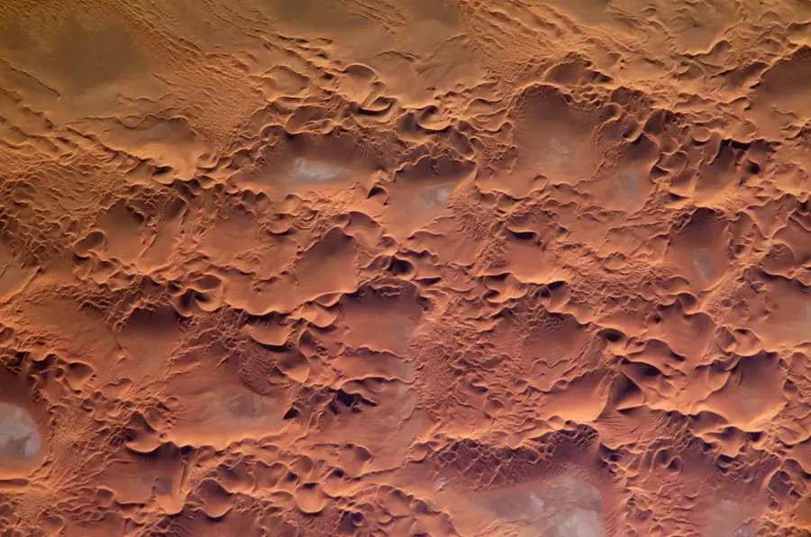
The Erg Ténéré is a vast sand sea encompassing approximately 400,000 square kilometers within the central Sahara Desert. This iconic landscape is famous for its towering longitudinal dunes, some of which reach heights of up to 240 meters. Historically, the region was home to the isolated Arbre du Ténéré, once considered the most remote tree on Earth before its destruction in 1973. Beneath the scorching sands lie massive fossil aquifers, remnants of a prehistoric era when the Sahara was a humid savanna. Daytime temperatures can soar above 45 degrees Celsius, creating one of the harshest environments for life. Despite its desolation, the Erg Ténéré remains a symbol of the desert's sublime beauty and a crossing point for traditional trans-Saharan caravans.
- Location: Niger
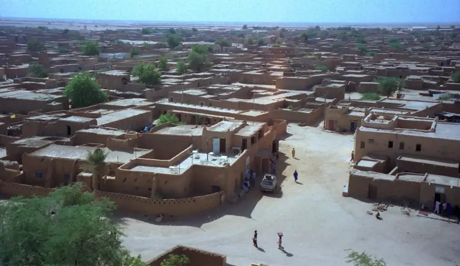
- Nearby: Fachi (66 km)
Best time to visit & climate
The most pleasant time to visit is Feb, Mar, Nov.
| Jan | Feb | Mar | Apr | May | Jun | Jul | Aug | Sep | Oct | Nov | Dec | |
|---|---|---|---|---|---|---|---|---|---|---|---|---|
| Avg °C | 16 | 19 | 24 | 29 | 33 | 34 | 34 | 33 | 32 | 28 | 22 | 17 |
| Rain mm | 0 | 0 | 0 | 0 | 36 | 1 | 3 | 11 | 2 | 0 | 0 | 0 |
📋 Practical info
Geography
Facts
- The Erg covers an expansive area of nearly 400,000 square kilometers.
- Individual sand dunes can reach vertical heights of 240 meters.
- The famous Arbre du Ténéré was accidentally destroyed by a truck in 1973.
- Subterranean fossil water reserves were formed over 10,000 years ago.
- Extreme heat causes surface temperatures to often exceed 45 degrees Celsius.
- The dunes extend across the borders of Niger and northern Chad.
Explore nearby
Notable places around
Route planner — Car & Motorhome
Where do you start? We build the route here, with stops and country notes along the way.
© OpenStreetMap contributors · OpenRouteService
Sights nearby
Frequently asked questions
Are the Erg Ténéré dunes dangerous?
What water precautions are necessary?
Can you take photos there?
Is there mobile reception?
What is the best time to travel?
Erg Ténéré Dunes: where is it located?
Erg Ténéré Dunes: when is the best time to visit?
Erg Ténéré Dunes: why is it worth visiting?

More places