Plizio Visual Lab
Adrar Bous Heights

Weather…
Water temperature…
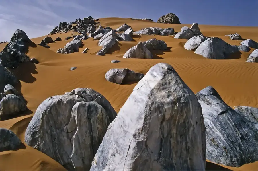
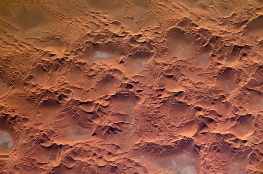
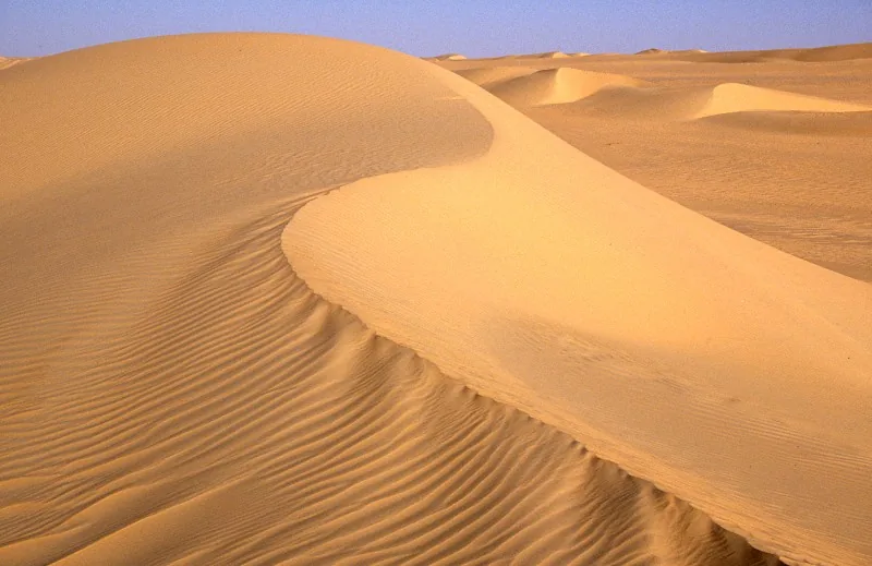
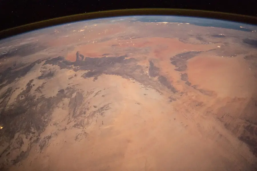
Adrar Bous is a prominent mountain height located in the northeastern portion of the Aïr Massif within the Nigerien Sahara. This mountain range rises in isolation from the surrounding plains of the Ténéré Desert, reaching a maximum elevation of approximately 1,123 meters. Geologically, Adrar Bous is part of a Precambrian granite ring complex composed of ancient crystalline rocks. The site is world-renowned primarily for its exceptional archaeological significance, as numerous Neolithic artifacts have been discovered here. These finds provide definitive evidence of human habitation during a period when the Sahara was significantly wetter than it is today. Discoveries include rock art, stone tools, and skeletal remains that offer insights into early cattle pastoralism and hunting practices. While the region is currently extremely arid and nearly uninhabited, its geology and history provide valuable data for climate change research. Its isolated location makes Adrar Bous a landmark of the rugged beauty of the northern Aïr region.
Best time to visit & climate
The most pleasant time to visit is Feb, Mar, Nov.
| Jan | Feb | Mar | Apr | May | Jun | Jul | Aug | Sep | Oct | Nov | Dec | |
|---|---|---|---|---|---|---|---|---|---|---|---|---|
| Avg °C | 13 | 17 | 21 | 27 | 31 | 32 | 32 | 31 | 30 | 26 | 20 | 15 |
| Rain mm | 0 | 0 | 0 | 1 | 3 | 4 | 3 | 9 | 1 | 1 | 0 | 0 |
📋 Practical info
Geography
Facts
- The highest peak of Adrar Bous stands at 1,123 meters above sea level.
- The site is famous for the Neolithic skeletal discovery of the 'Adrar Bous cow'.
- Archaeological evidence dates human occupation to the 4th millennium BC.
- Geologically, it is classified as a granite ring-complex structure.
- It is located on the northeastern fringe of the Aïr Mountains bordering the Ténéré.
- Annual rainfall in this hyper-arid region often falls below 50 mm.
Explore nearby
Notable places around
Route planner — Car & Motorhome
Where do you start? We build the route here, with stops and country notes along the way.
© OpenStreetMap contributors · OpenRouteService
Sights nearby
Frequently asked questions
What is special about Adrar-Bous?
Is it allowed to dig or search there?
How difficult is the terrain for hikers?
Do you need a guide for the area?
When is the safest time to travel?
Adrar Bous Heights: where is it located?
Adrar Bous Heights: when is the best time to visit?
Adrar Bous Heights: why is it worth visiting?

Nature
More places