Plizio Visual Lab
Djado Plateau Elevation

Weather…
Water temperature…
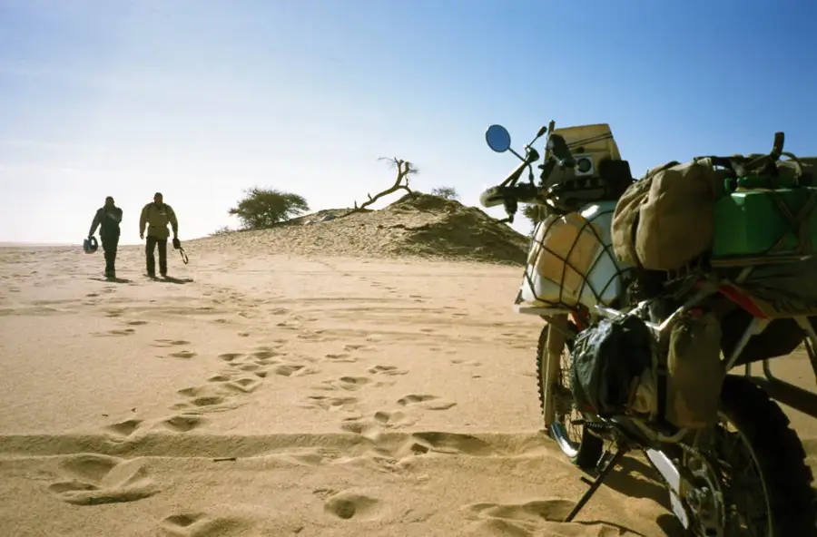
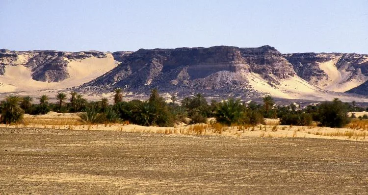
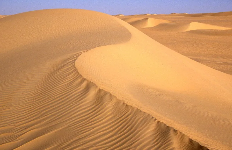
The Djado Plateau is a remote sandstone upland in northeastern Niger, famous for its spectacular desert landscapes and mysterious ruined cities. Geologically, the plateau is defined by horizontal sedimentary layers sculpted by wind erosion into bizarre shapes, reaching elevations between 800 and 1,000 meters. At the center of the plateau lie the ruins of Djado and Djaba, abandoned fortified settlements (ksars) that were once crucial stations for trans-Saharan caravan trade and centers for salt production. Today, the region is almost uninhabited, though seasonal workers return to the oases to harvest salt and dates. Historically, the plateau was a cultural crossroads for Tubu and Kanuri peoples before being largely abandoned in the 19th century due to epidemics and raids. Its isolation has helped preserve archaeological sites and prehistoric rock art in exceptional condition. The Djado Plateau is regarded as one of the most fascinating yet least accessible destinations in the entire Sahara desert.
Best time to visit & climate
The most pleasant time to visit is Feb, Mar, Nov.
| Jan | Feb | Mar | Apr | May | Jun | Jul | Aug | Sep | Oct | Nov | Dec | |
|---|---|---|---|---|---|---|---|---|---|---|---|---|
| Avg °C | 15 | 19 | 23 | 29 | 32 | 34 | 34 | 34 | 32 | 28 | 22 | 17 |
| Rain mm | 0 | 0 | 0 | 0 | 4 | 2 | 2 | 5 | 1 | 1 | 0 | 0 |
📋 Practical info
Geography
Facts
- The average elevation ranges between 800 and 1,000 meters.
- Home to the abandoned fortified cities of Djado and Djaba.
- The region is renowned for its traditional salt evaporation ponds.
- Administratively part of the Agadez Region, Bilma Department.
- Climate is hyper-arid with virtually negligible annual rainfall.
- Major archaeological site for Neolithic artifacts and rock art.
Explore nearby
Notable places around
Route planner — Car & Motorhome
Where do you start? We build the route here, with stops and country notes along the way.
© OpenStreetMap contributors · OpenRouteService
Sights nearby
Frequently asked questions
What characterizes the Djado Plateau?
Is the plateau developed for tourism?
How long does the journey there take?
Is photography of the ruins allowed?
When is the best time for an expedition?
Djado Plateau Elevation: where is it located?
Djado Plateau Elevation: when is the best time to visit?
Djado Plateau Elevation: why is it worth visiting?

More places