Plizio Visual Lab
Téra
ℹ️Practical info — Téra
▾
🌤 Weather — 5 days
📍 Nearby
Sights nearby
💡 Tips
- Be mindful that Téra is near the border; always check current security advisories before traveling.
- Ensure you carry enough cash (CFA Francs), as credit cards and ATMs are rarely available.
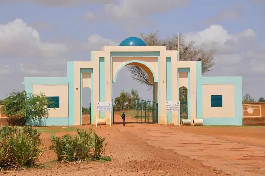
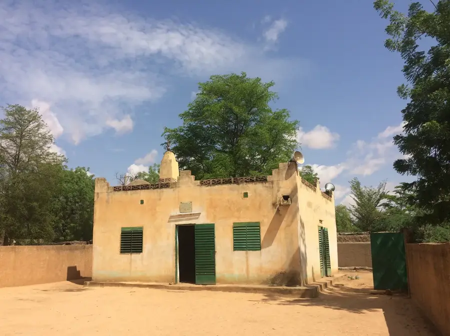
- The Téra Dam is the town's most significant landmark and a central point for local life.
- Expect extreme heat most of the year; the cooler window from November to February is best for visiting.
- Respect the Songhai and Zarma traditions by using formal greetings when meeting elders.
🍽 Food
A signature dish of the region made with steamed millet and moringa leaves; light and nutritious.
A baobab leaf sauce served with thick millet or sorghum paste (Tuwo); a classic Sahelian meal.
A refreshing drink made of mashed millet balls mixed with milk and sugar.
🛍 Shopping · 🧘 Quiet spots
The place to find high-quality hand-woven mats and baskets used in local households.
Browse the textile stalls for spirited fabrics with traditional West African patterns.
Local clay pots designed for keeping water cool are a specialty of the town's artisans.
The reservoir area is a scenic and quiet spot for observing birdlife, especially at sunset.
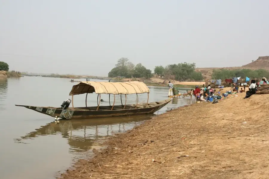
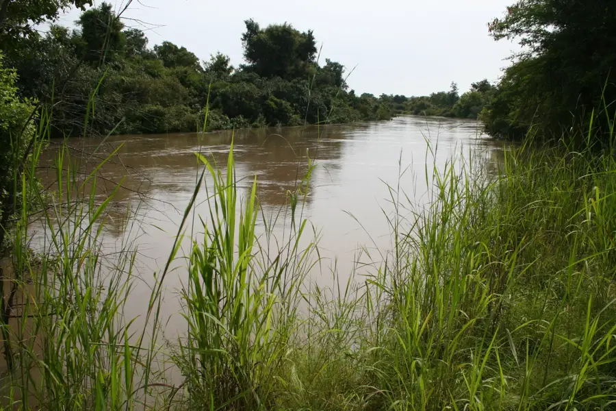
Located a short distance away, the river provides peaceful views of traditional canoes (pirogues).
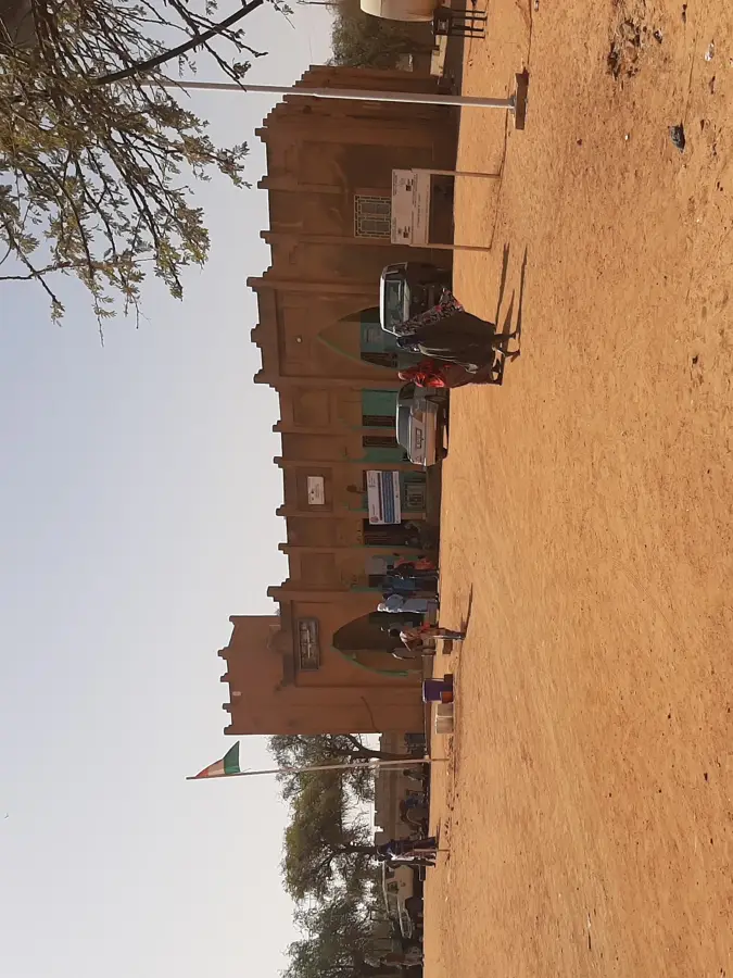
Walk through the traditional mud-brick neighborhoods for a quieter, historic atmosphere.
Water temperature…
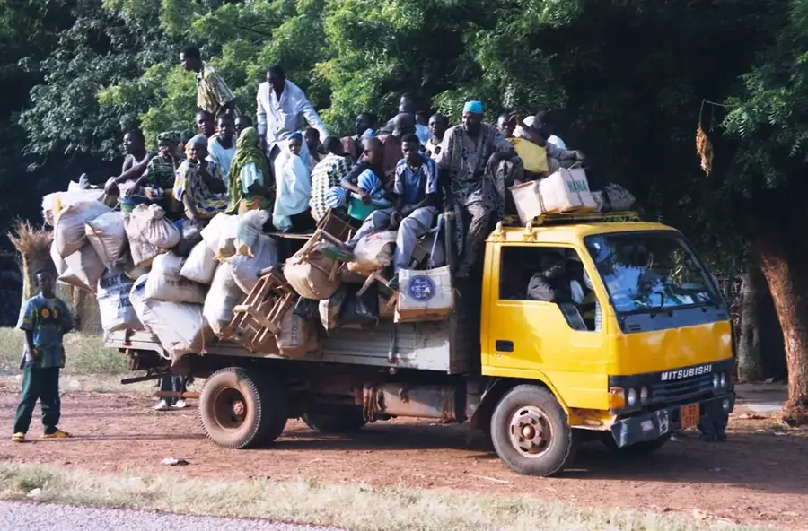
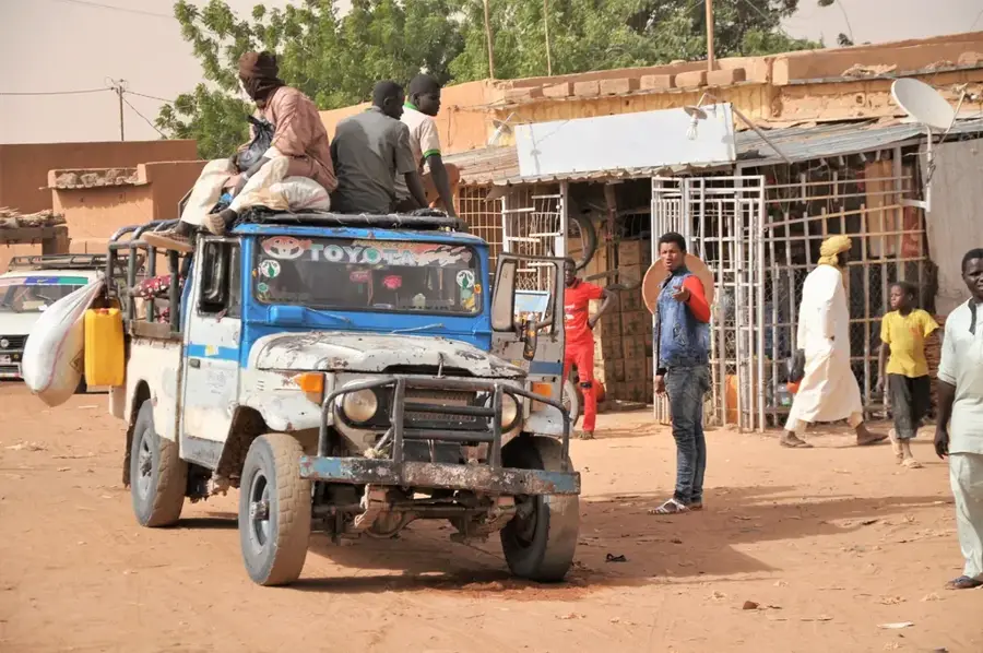
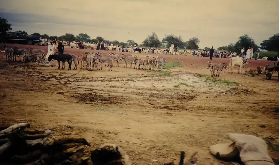
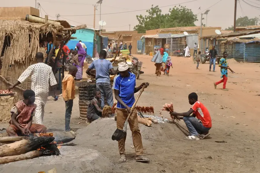
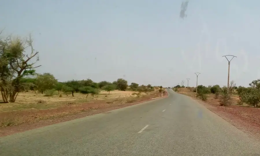
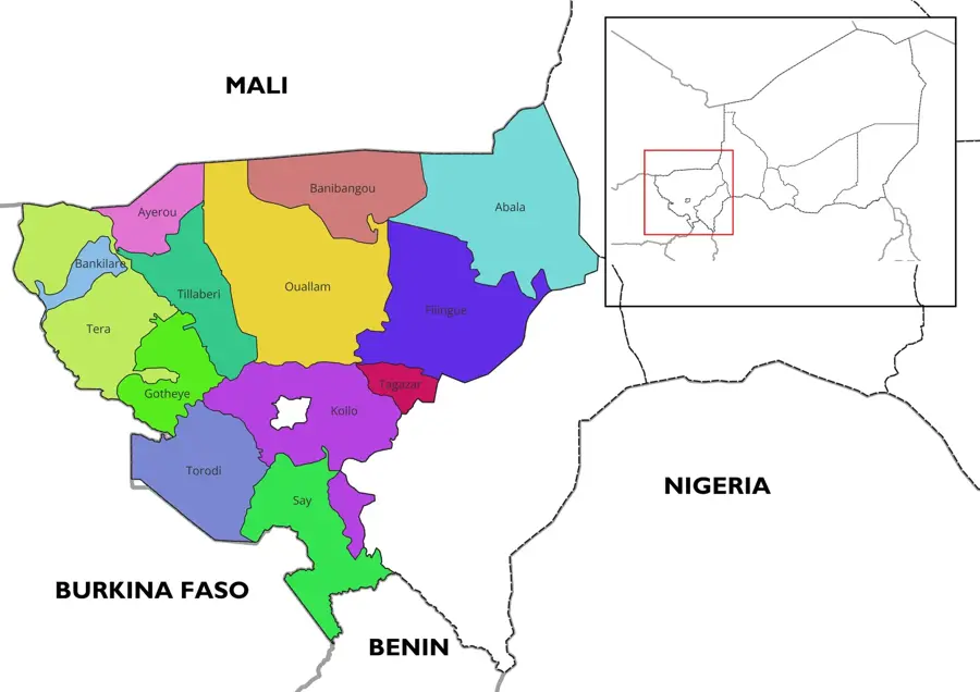
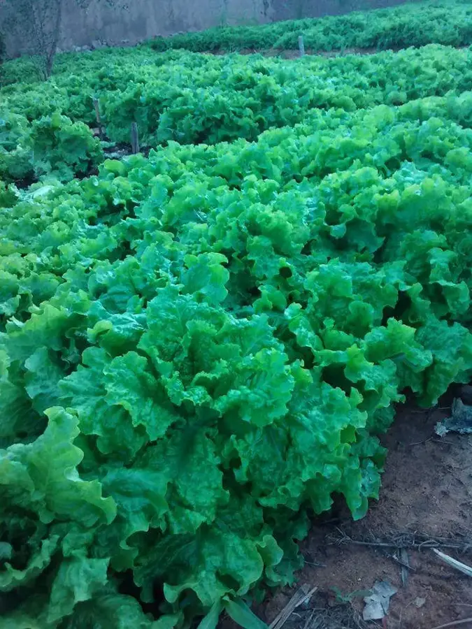
Téra is located in western Niger within the Tillabéri Region, near the border with Burkina Faso, serving as a major hub for cross-border trade. Geographically, the city is shaped by the foothills of the Liptako-Gourma region, a hilly landscape rich in mineral resources. Most notably, gold mining at the nearby Samira Hill mine, operational since 2004, contributes significantly to the national economy. Historically, Téra is closely linked to the Songhai and Djerma cultures, which have inhabited and influenced the region for centuries. Agriculture in the surrounding area focuses on millet and sorghum cultivation, as well as livestock rearing conducted by nomadic communities. Due to its location, the city acts as an essential security and administrative center in the tri-border area between Niger, Mali, and Burkina Faso. The population of Téra is approximately 30,000 residents, with the city experiencing continuous growth due to rural migration.
- Location: Niger
- Nearby: Bankilaré (65 km)
- Population: ~39.410 (2024)
Best time to visit & climate
The most pleasant time to visit is Jan, Feb, Dec.
| Jan | Feb | Mar | Apr | May | Jun | Jul | Aug | Sep | Oct | Nov | Dec | |
|---|---|---|---|---|---|---|---|---|---|---|---|---|
| Avg °C | 23 | 26 | 30 | 34 | 35 | 33 | 30 | 28 | 29 | 30 | 27 | 24 |
| Rain mm | 0 | 1 | 0 | 6 | 15 | 65 | 126 | 172 | 73 | 16 | 0 | 0 |
Geography
Facts
- Capital of the Téra Department in Tillabéri Region
- Proximity to the Samira Hill gold mine
- Strategic hub near the border with Burkina Faso
- Center of Songhai and Djerma culture in the west
- Significant market for livestock and grain trade
- Population of approximately 30,000 (2012 census)
Explore nearby
Notable places around
Route planner — Car & Motorhome
Where do you start? We build the route here, with stops and country notes along the way.
© OpenStreetMap contributors · OpenRouteService
Sights in the town Téra (1)
Frequently asked questions
What is Téra?
Is it safe?
How do I get there?
Are there attractions?
When is the best time to travel?
Téra: where is it located?
Téra: when is the best time to visit?
Téra: why is it worth visiting?

Nearby cities

History & landmarks
More places