Plizio Visual Lab
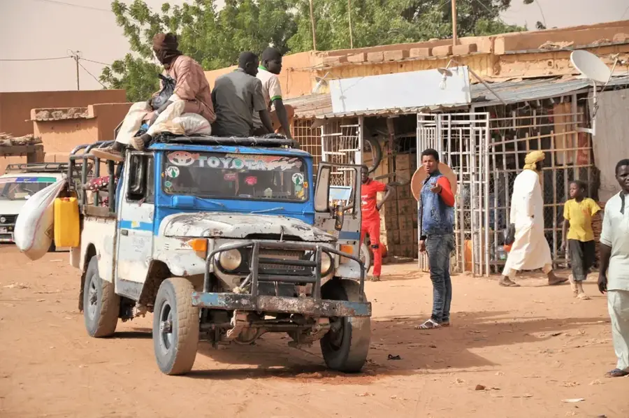
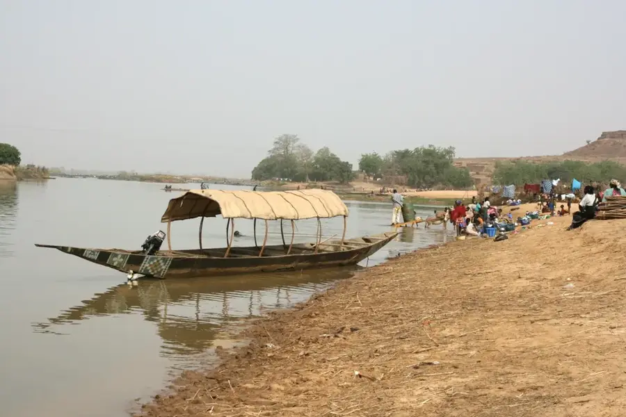
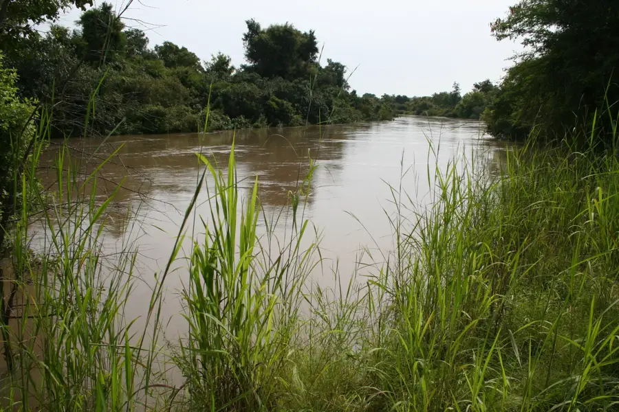
Tillabéri River Crossing

Weather…
Water temperature…
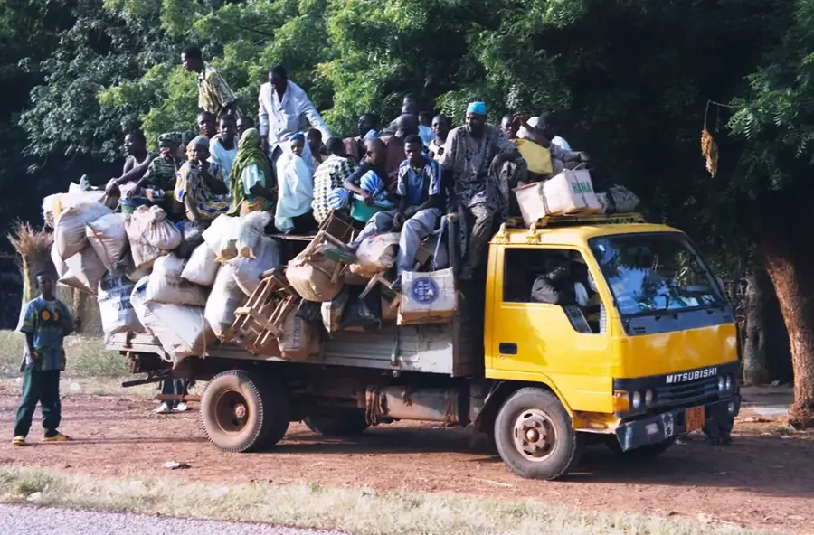
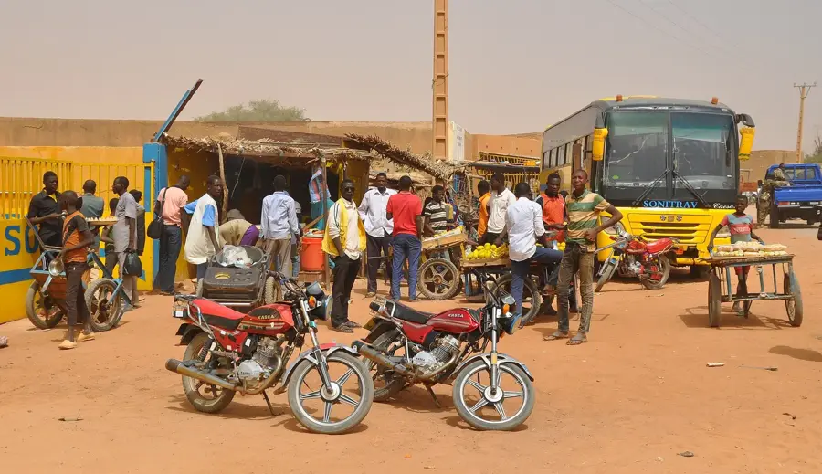
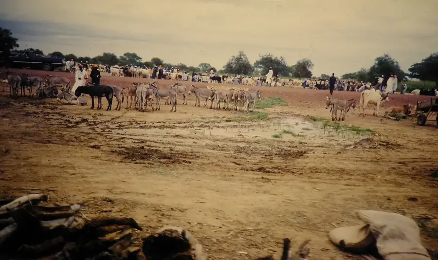
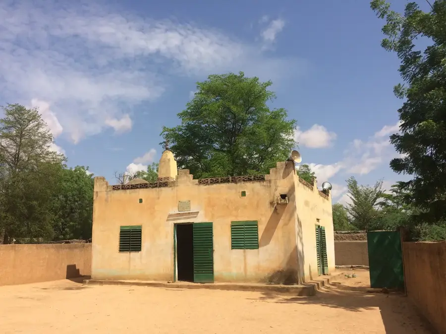
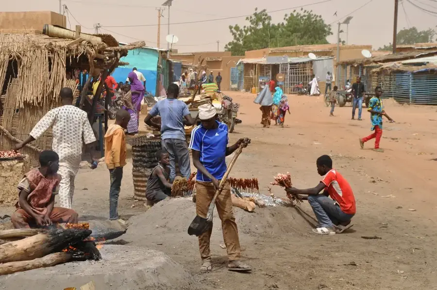
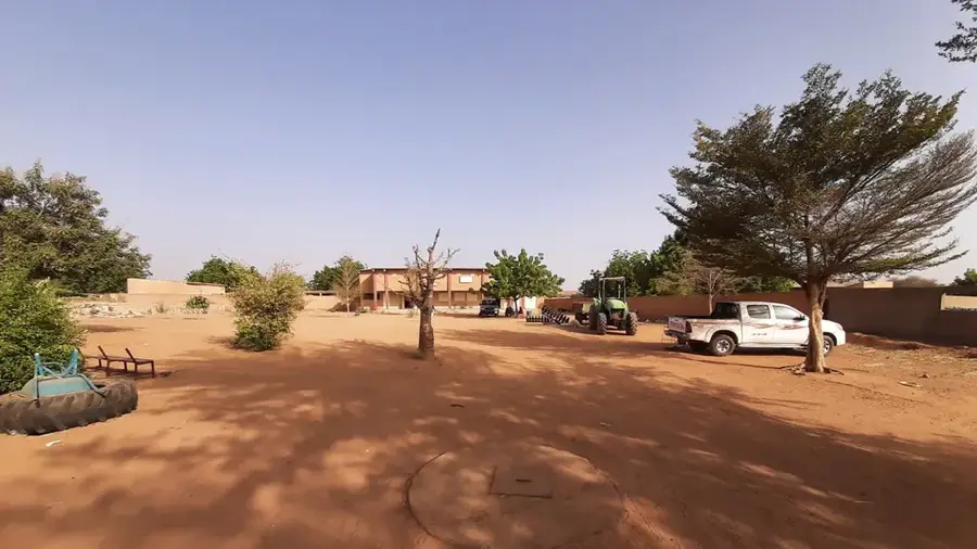
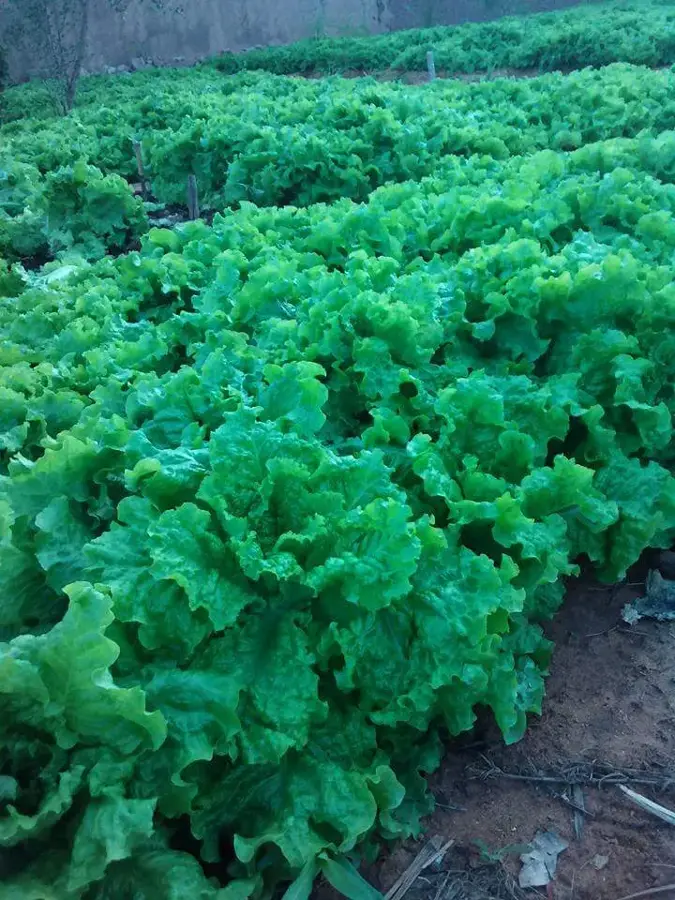
Tillabéri is situated on the banks of the majestic Niger River and holds significant historical importance as a strategic crossing point for trade routes and military movements. The region was a core territory of the Songhai Empire and later fell under Zarma leadership, which continues to shape the local cultural landscape. During the French colonial era, the town served as a key administrative post and developed into a vital hub for river navigation and the fishing industry. Geographically, Tillabéri is characterized by its fertile floodplains that support intensive rice cultivation, providing a sharp contrast to the surrounding arid Sahelian landscape. The settlement's history is defined by the coexistence of various ethnic groups who relied on the river as their primary lifeline. Today, Tillabéri remains a crucial regional center, known for its agricultural output and its strategic role in regional stability within the Sahel.
- Location: Niger
- Top sights: Tillabéri Department · Tillabéri · Tillabéri Region
- Nearby: Tillabéri (9 km)
Best time to visit & climate
The most pleasant time to visit is Jan, Feb, Dec.
| Jan | Feb | Mar | Apr | May | Jun | Jul | Aug | Sep | Oct | Nov | Dec | |
|---|---|---|---|---|---|---|---|---|---|---|---|---|
| Avg °C | 23 | 26 | 30 | 34 | 35 | 33 | 30 | 28 | 29 | 30 | 27 | 24 |
| Rain mm | 0 | 1 | 0 | 6 | 15 | 65 | 126 | 172 | 73 | 16 | 0 | 0 |
📋 Practical info
Geography
Facts
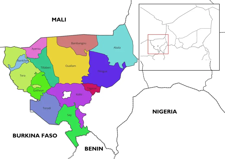
- Tillabéri serves as the administrative capital of the Tillabéri Region in southwest Niger.
- The town is located about 110 kilometers northwest of the capital, Niamey.
- The Niger River is the primary artery for local irrigation and transportation.
- The region historically sheltered the Songhai people after the fall of Gao in 1591.
- The nearby W National Park is a designated UNESCO World Heritage site.
- Rice farming and river fishing constitute the backbone of the local economy.
Explore nearby
Notable places around
Route planner — Car & Motorhome
Where do you start? We build the route here, with stops and country notes along the way.
© OpenStreetMap contributors · OpenRouteService
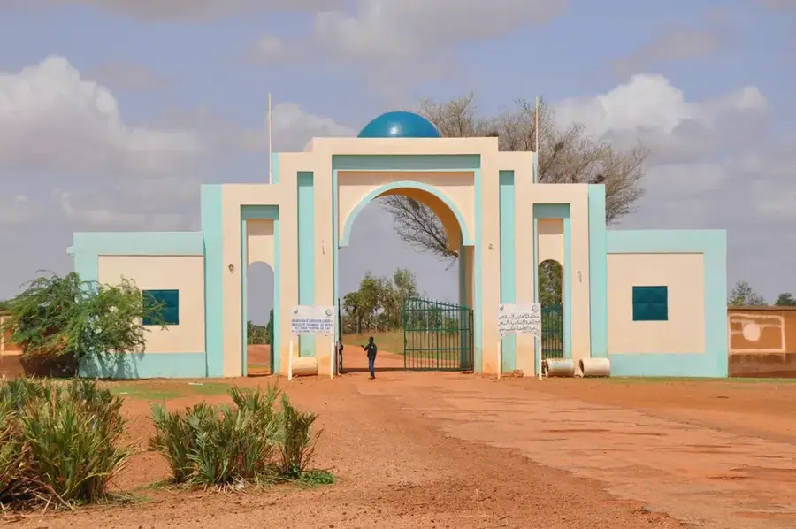
Sights in the town Tillabéri River Crossing (3)
Sights nearby
Frequently asked questions
Why is the river crossing in Tillabéri historically important?
Is it still possible to cross there today?
Is there tourist infrastructure there?
What dishes should one try?
Are special vaccinations needed for the region?
Tillabéri River Crossing: where is it located?
Tillabéri River Crossing: what is there to see?
Tillabéri River Crossing: when is the best time to visit?
Tillabéri River Crossing: why is it worth visiting?

Nearby cities
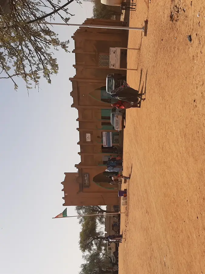


History & landmarks
More places