Plizio Visual Lab
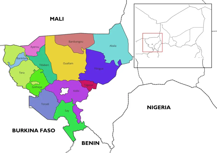
Ouallam
ℹ️Practical info — Ouallam
▾
🌤 Weather — 5 days
📍 Nearby
Sights nearby
💡 Tips
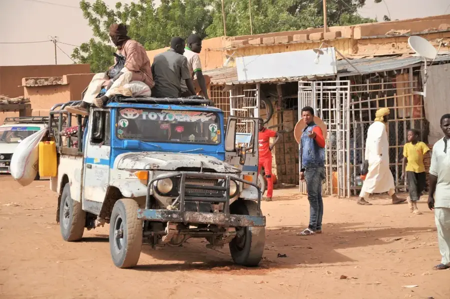
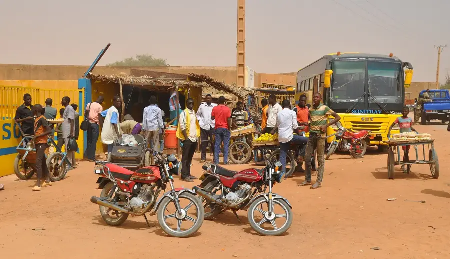
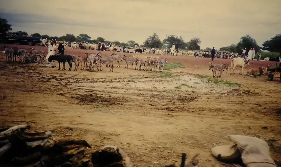
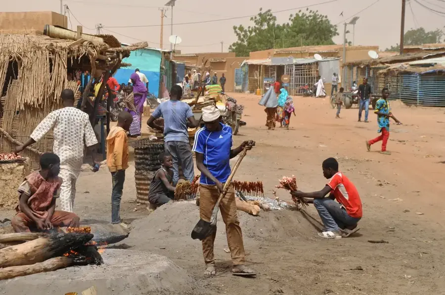
- Visit the Sunday Louwo market to witness the authentic livestock and grain trade on the Zarmaganda plateau.
- Always wear a hat and sun protection, as the sun's reflection on the bright plateaus is very intense.
- Respect the local Djerma culture; a polite greeting goes a long way with the residents.
- Use the cooler morning hours to explore the surrounding rocky Sahelian landscapes.
- Carry sufficient drinking water, as wells and water points are scattered far apart in this dry environment.
🍽 Food
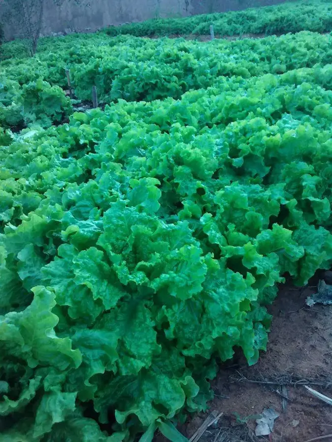
A nutritious Moringa salad with peanut paste, often sold at street stalls near the market area.
The regional staple, served with a spicy leaf sauce in local eateries.
Especially fresh on market days, prepared right next to the livestock market grounds.
🛍 Shopping · 🧘 Quiet spots
Look for handcrafted straw mats made by Djerma women in the central market.
Simple but sturdy clay vessels for water, sold near the artisan quarters.
The edges of the mesas offer a peaceful view over the vast Sahelian plains at sunset.
Small shaded clusters of trees outside the town center provide a quiet spot for a rest.
Water temperature…
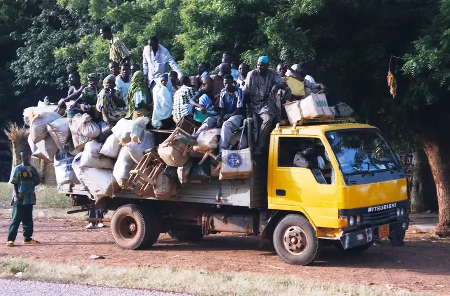
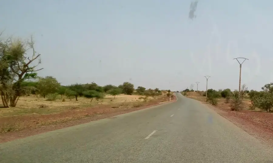
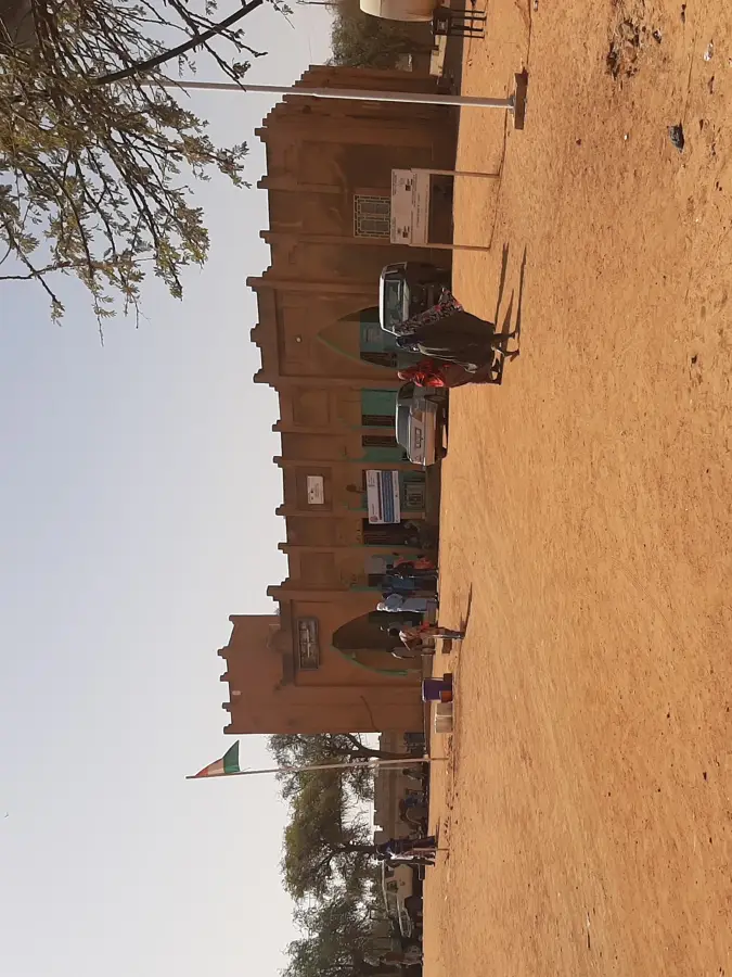
Ouallam is a strategically important town in the Tillabéri Region of southwestern Niger, located approximately 100 kilometers north of the capital city, Niamey. The town serves as the administrative center for its namesake department and plays a decisive role in the region's supply chains and security. Geographically, Ouallam is situated in a zone characterized by plateaus and valleys, where agriculture remains the primary livelihood for the local population. Historically, the area is closely associated with the Zarma people, whose traditions and social organization continue to shape city life today. Due to its relative proximity to unstable border regions to the north, Ouallam has also become a significant base for national security forces and international aid organizations. The climate is typically Sahelian, with a distinct dry season that makes water management a constant challenge. In recent years, the town has gained prominence as a refuge for internally displaced persons, presenting significant challenges to its social fabric and infrastructure. Despite these pressures, Ouallam remains a vital marketplace for local products such as millet and livestock. The town exemplifies the complexity of development in modern Niger, balancing tradition, security, and environmental change.
- Location: Niger
- Nearby: Tillabéri (63 km)
- Population: ~14.338 (2024)
Best time to visit & climate
The most pleasant time to visit is Jan, Feb, Dec.
| Jan | Feb | Mar | Apr | May | Jun | Jul | Aug | Sep | Oct | Nov | Dec | |
|---|---|---|---|---|---|---|---|---|---|---|---|---|
| Avg °C | 22 | 26 | 30 | 34 | 35 | 33 | 31 | 28 | 29 | 30 | 27 | 23 |
| Rain mm | 0 | 1 | 0 | 4 | 11 | 57 | 115 | 155 | 65 | 13 | 0 | 0 |
Geography
Facts
- Ouallam is located on the main road connecting Niamey with the northern Tillabéri Region.
- The town serves as the administrative capital of the Ouallam Department.
- In the 2012 census, the town's population was estimated at approximately 10,000.
- Several large camps for displaced persons are located in the vicinity of Ouallam.
- The region is known for its reliance on rain-fed agriculture, particularly millet.
- The average elevation of the town is roughly 240 meters above sea level.
Explore nearby
Notable places around
Route planner — Car & Motorhome
Where do you start? We build the route here, with stops and country notes along the way.
© OpenStreetMap contributors · OpenRouteService
Sights in the town Ouallam (1)
Frequently asked questions
What is the weather like in Ouallam?
Are there hotels in Ouallam?
What is the role of Ouallam?
Is Ouallam a safe destination?
What should I know about the surroundings?
Ouallam: where is it located?
Ouallam: when is the best time to visit?
Ouallam: why is it worth visiting?

Nearby cities


History & landmarks
More places