Plizio Visual Lab
Koutous Massif
Weather…
Water temperature…
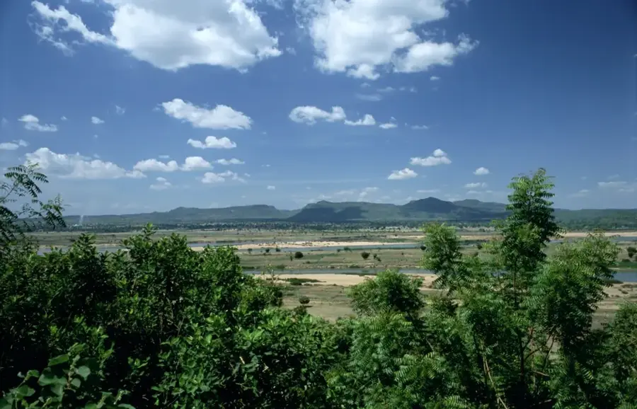
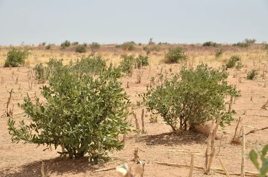
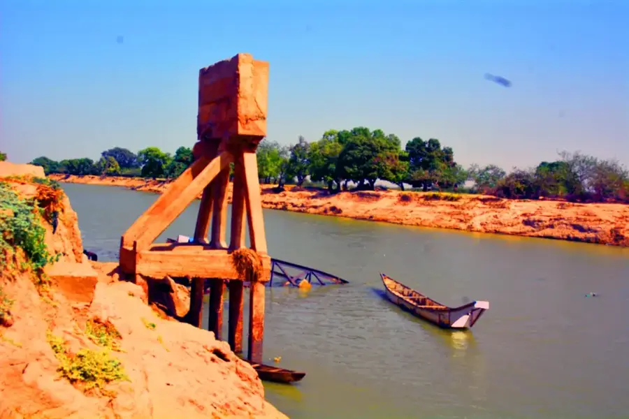
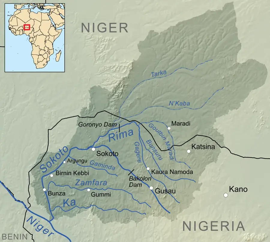
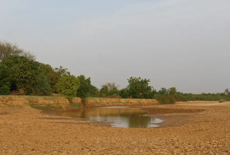
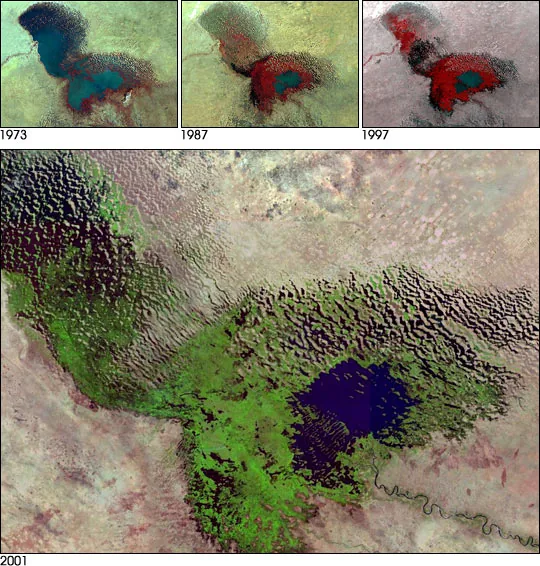
The Koutous Massif is a prominent sandstone plateau in the Zinder region of southern Niger, distinguished by its rugged topography and ecological significance. Geologically, the plateau belongs to Mesozoic continental formations, whose erosion over millions of years has shaped spectacular cliffs and deep valleys. These valleys serve as natural water catchments, supporting vegetation that is more lush than the surrounding areas, including acacias and palms. Historically, the plateau was a place of refuge and a strategic control point for various ethnic groups, particularly the Kel Gress Tuareg, who managed grazing rights in the area. The region is also rich in archaeological remains, indicating a long history of human habitation. Due to its isolated location, the plateau has preserved specific flora and fauna adapted to semi-arid conditions. In modern times, the Koutous Massif is an important area for livestock farming and is increasingly significant for local tourism, showcasing its unique landscape and traditional cultures.
- Location: Niger
- Nearby: Gouré (30 km)
Best time to visit & climate
The most pleasant time to visit is Jan, Feb, Dec.
| Jan | Feb | Mar | Apr | May | Jun | Jul | Aug | Sep | Oct | Nov | Dec | |
|---|---|---|---|---|---|---|---|---|---|---|---|---|
| Avg °C | 20 | 24 | 28 | 32 | 34 | 33 | 31 | 28 | 29 | 29 | 25 | 21 |
| Rain mm | 0 | 0 | 0 | 2 | 11 | 42 | 108 | 167 | 54 | 8 | 1 | 0 |
📋 Practical info
Geography
Facts
- It consists mainly of sedimentary rocks from the Mesozoic era.
- The highest elevations are around 600 meters above sea level.
- Important habitat for gazelles and various birds of prey.
- The Zinder region is the administrative center for the area.
- Contains numerous prehistoric rock paintings and artifacts.
- Serves as a watershed for the seasonal rivers of the region.
Explore nearby
Notable places around
Route planner — Car & Motorhome
Where do you start? We build the route here, with stops and country notes along the way.
© OpenStreetMap contributors · OpenRouteService
Sights nearby
Frequently asked questions
How challenging is climbing the Koutous Massif?
Are there marked hiking trails?
How long does an exploration tour take?
Is photography allowed in the Koutous Massif?
Is a 4x4 vehicle necessary?
Koutous Massif: where is it located?
Koutous Massif: when is the best time to visit?
Koutous Massif: why is it worth visiting?

Nearby cities
Nature


More places