Plizio Visual Lab
Goulbi Kaba

Weather…
Water temperature…
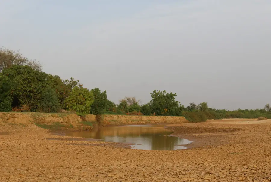
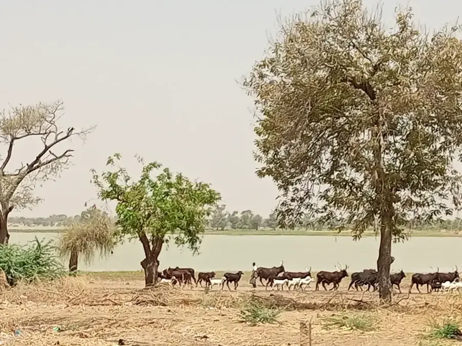
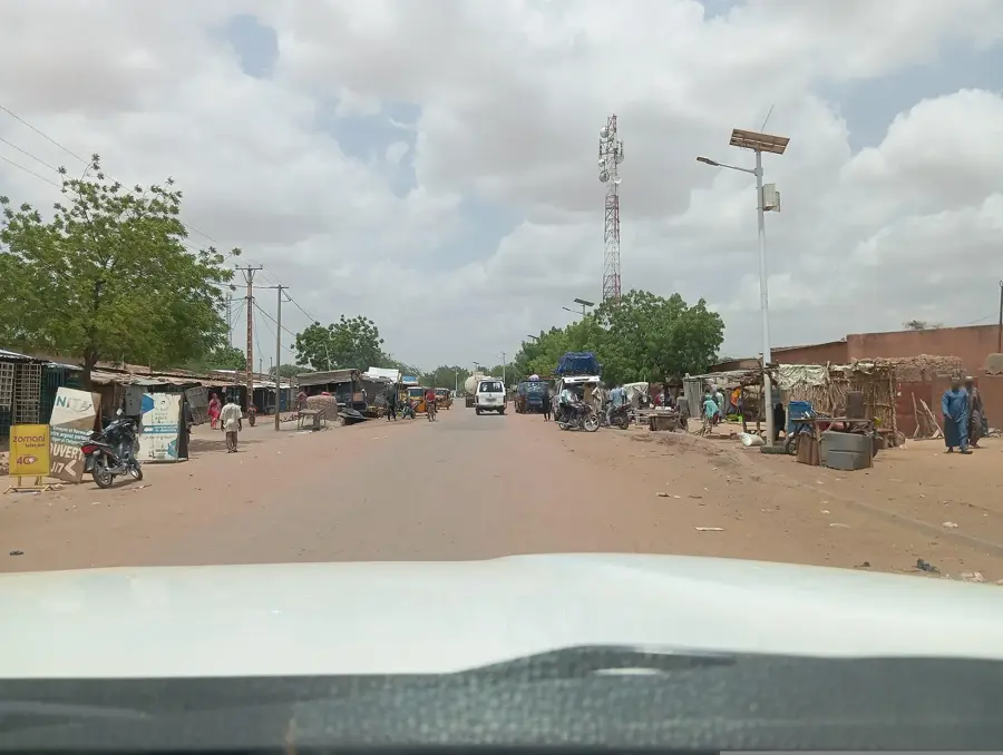
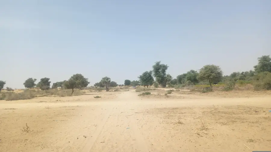
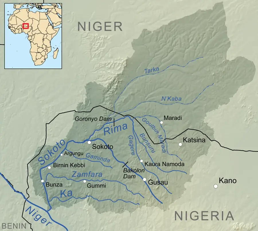
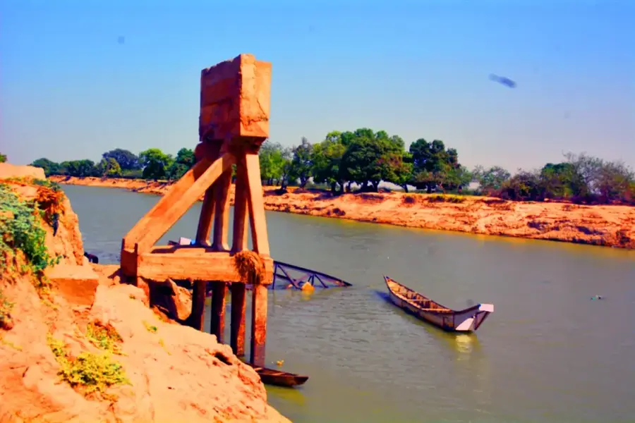
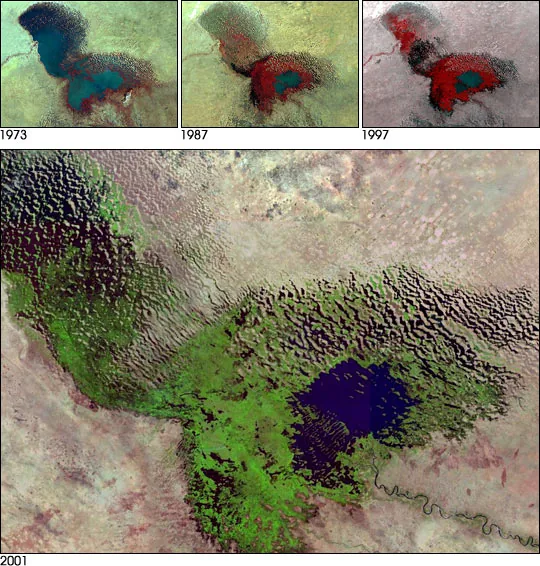
The Goulbi Kaba is a significant intermittent watercourse in southern Niger, serving as a vital water source for the densely populated Maradi region. It originates in neighboring Nigeria and flows westward, traversing the most fertile areas of central Niger. During the brief but intense rainy season, the river swells dramatically, enabling large-scale irrigation of grain fields, orchards, and vegetable crops along its banks. The nutrient-rich sediment deposits within the riverbed form the foundation of the region's high agricultural productivity. During the long dry season, the sandy, dry riverbed acts as a major transport route and a source for extracting water from hand-dug wells. Historically, the river often functioned as a natural boundary between various Hausa sultanates. Today, the valley is a showcase for sustainable irrigation projects and agricultural innovations within the Sahel region.
- Location: Niger
- Nearby: Madarounfa (40 km)
Best time to visit & climate
The most pleasant time to visit is Jan, Feb, Dec.
| Jan | Feb | Mar | Apr | May | Jun | Jul | Aug | Sep | Oct | Nov | Dec | |
|---|---|---|---|---|---|---|---|---|---|---|---|---|
| Avg °C | 21 | 25 | 29 | 32 | 32 | 30 | 28 | 26 | 26 | 27 | 25 | 22 |
| Rain mm | 0 | 0 | 3 | 10 | 38 | 97 | 178 | 230 | 108 | 19 | 8 | 0 |
📋 Practical info
Geography
Facts
- A major tributary of the Rima river system in West Africa
- Water flow is typically restricted to the months of July through September
- The primary factor in Maradi's status as Niger's 'economic capital'
- The riverbed is utilized for onion cultivation during the dry season
- Provides critical water for the famous Maradi red goats
- Regarded as one of the most fertile dallols (valleys) in southern Niger
Explore nearby
Notable places around
Route planner — Car & Motorhome
Where do you start? We build the route here, with stops and country notes along the way.
© OpenStreetMap contributors · OpenRouteService
Sights nearby
Frequently asked questions
What is Goulbi Kaba?
Is it easily accessible?
Are there attractions there?
What to do when visiting?
Is overnight stay possible?
Goulbi Kaba: where is it located?
Goulbi Kaba: when is the best time to visit?
Goulbi Kaba: why is it worth visiting?

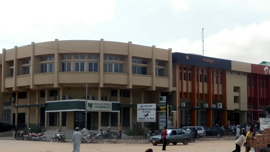
Nearby cities
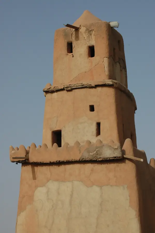
History & landmarks

Nature


More places