Plizio Visual Lab
Lake Chad

Weather…
Water temperature…
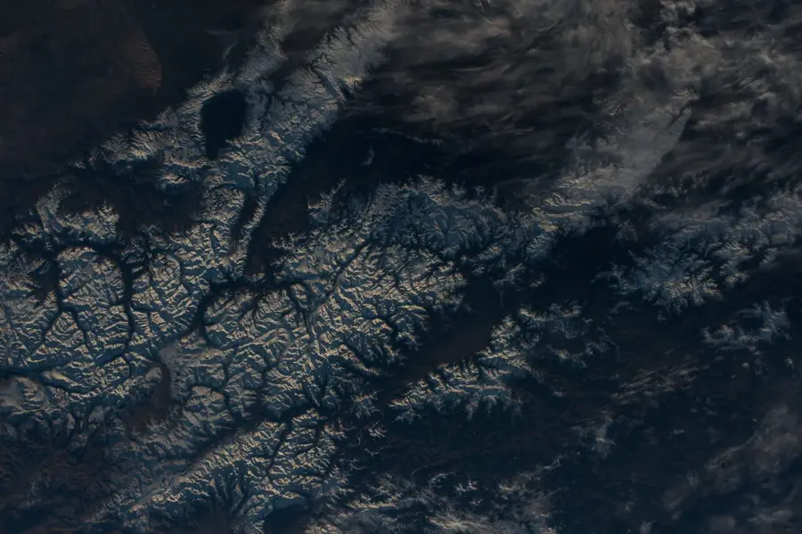
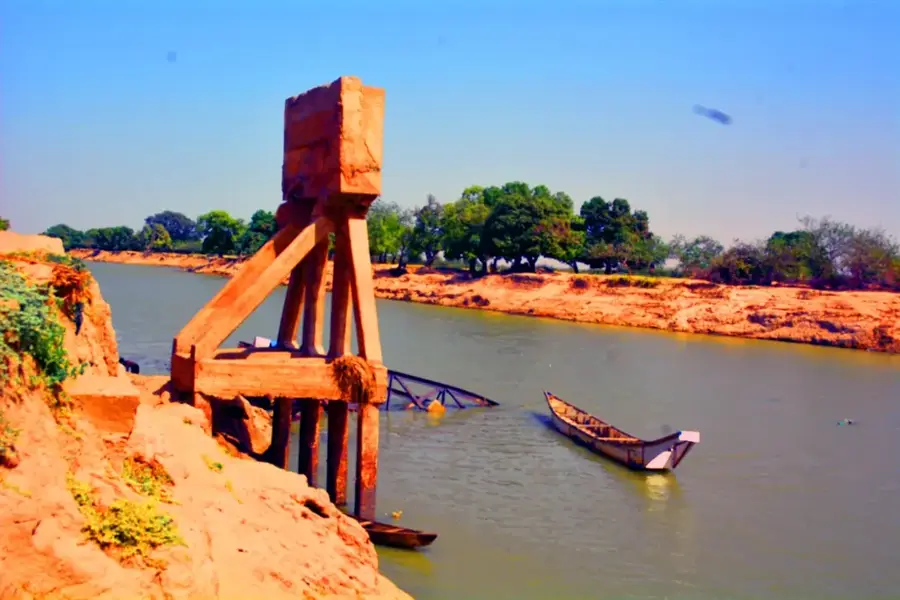
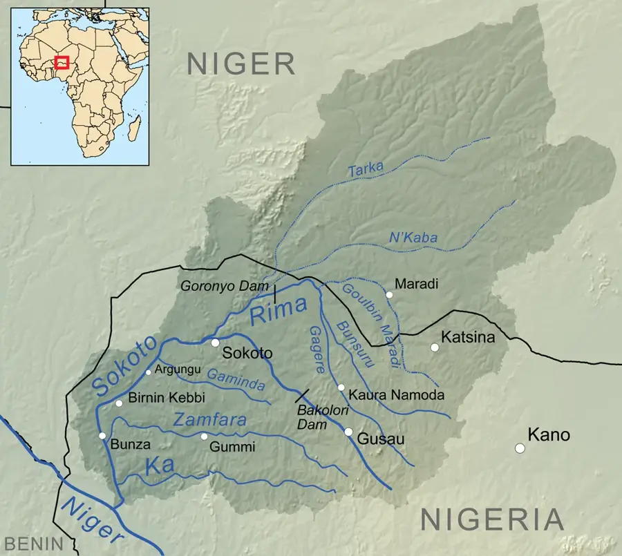
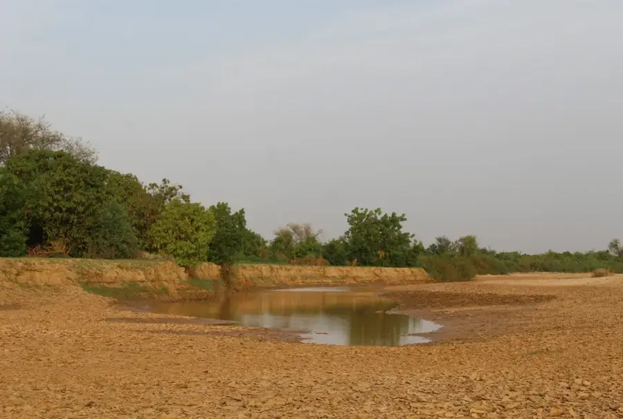
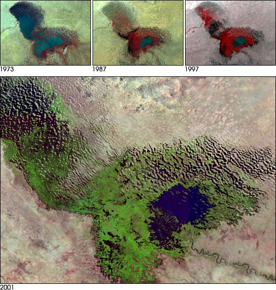
Lake Chad is a historically large, shallow, endorheic lake in Central Africa, bordered by Chad, Cameroon, Nigeria, and Niger. Around 7,000 years ago, the prehistoric Mega-Chad covered approximately 360,000 square kilometers, making it one of the largest lakes on Earth. Since the 1960s, its surface area has shrunk by about 95% due to climate change, overgrazing, and excessive water diversion from its main tributary, the Chari River. The lake is remarkably shallow, with an average depth ranging between 1.5 and 5 meters, which leads to high rates of evaporation. Despite its reduced size, it remains a critical lifeline for over 30 million people who rely on it for fishing and irrigation. The basin is also a vital wetland habitat for various migratory birds and diverse flora and fauna, though the ecosystem faces severe pressure from desertification and environmental degradation.
Best time to visit & climate
The most pleasant time to visit is Jan, Feb, Dec.
| Jan | Feb | Mar | Apr | May | Jun | Jul | Aug | Sep | Oct | Nov | Dec | |
|---|---|---|---|---|---|---|---|---|---|---|---|---|
| Avg °C | 23 | 27 | 30 | 34 | 36 | 35 | 32 | 29 | 30 | 31 | 27 | 24 |
| Rain mm | 0 | 0 | 0 | 1 | 7 | 29 | 96 | 145 | 52 | 14 | 0 | 0 |
📋 Practical info
Geography
Facts
- The lake's area decreased from 25,000 km² in 1963 to roughly 1,500 km² at its lowest.
- The Chari River provides about 90% of the lake's total inflow.
- Lake Chad is an endorheic basin, meaning it has no outflow to the sea or oceans.
- Average water depth is extremely low, ranging from 1.5 to 5 meters.
- The lake supports the livelihoods of more than 30 million people in the surrounding region.
- Historically, Mega-Chad reached a maximum size of 360,000 km² around 5000 BC.
Explore nearby
Notable places around
Route planner — Car & Motorhome
Where do you start? We build the route here, with stops and country notes along the way.
© OpenStreetMap contributors · OpenRouteService
Sights nearby
Frequently asked questions
What is the climate like at Lake Chad?
Best time for a visit?
Can you swim in Lake Chad?
Do I need a 4x4 vehicle?
Are there restroom facilities?
Lake Chad: where is it located?
Lake Chad: when is the best time to visit?
Lake Chad: why is it worth visiting?

Nearby cities
Nature


More places