Plizio Visual Lab
Cho Oyu
Weather…
Water temperature…
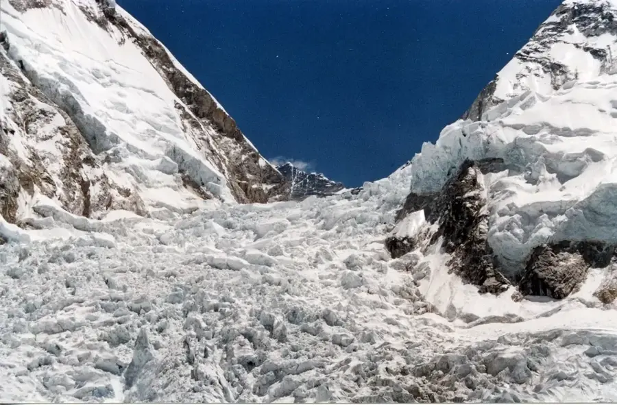
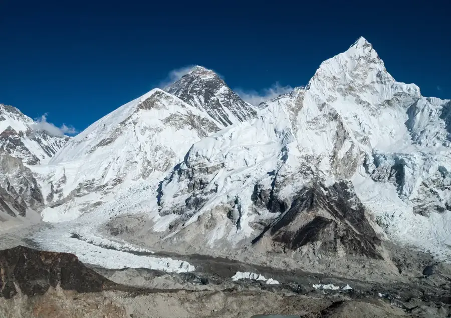
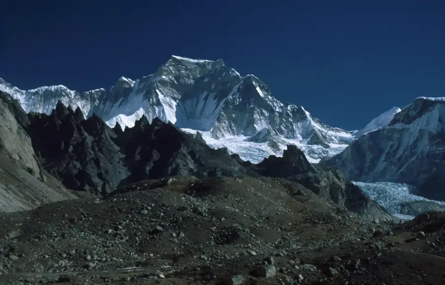
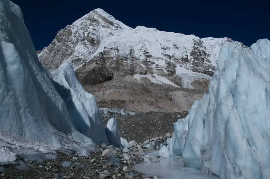
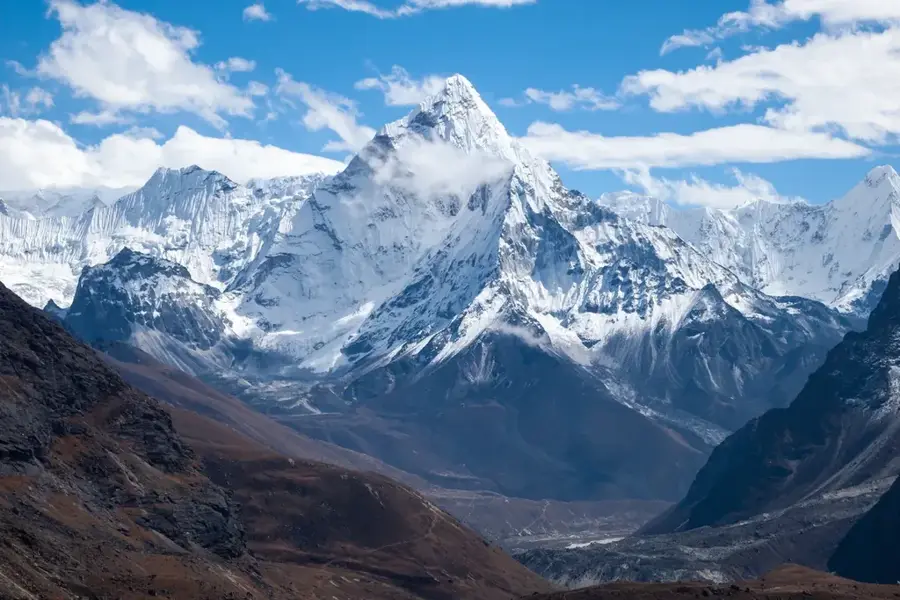
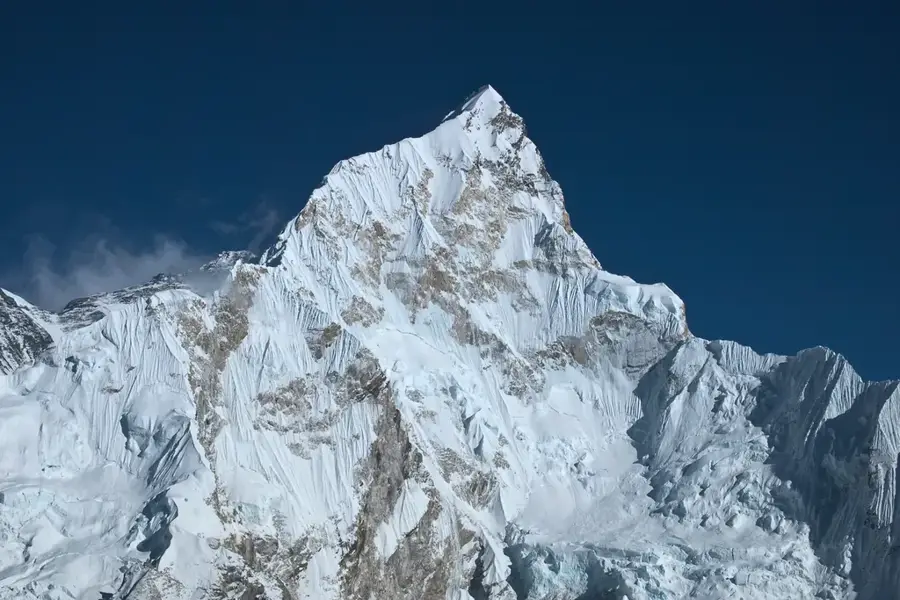
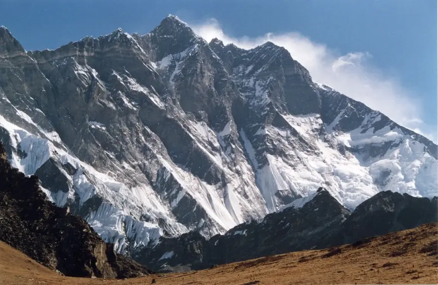
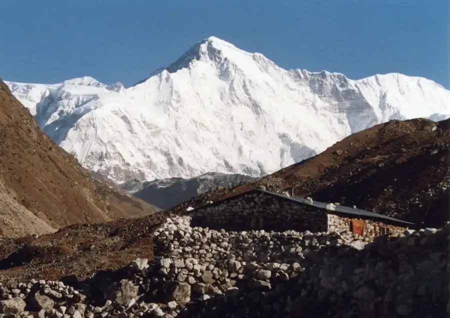
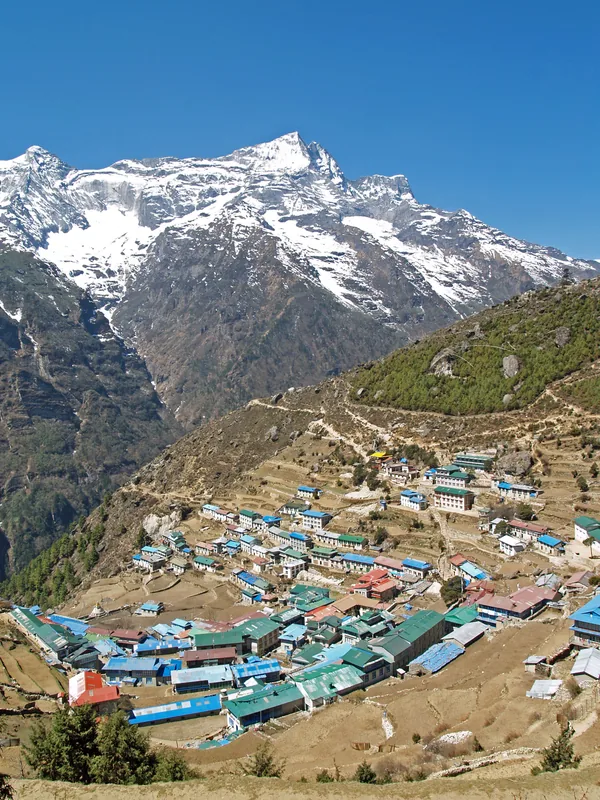
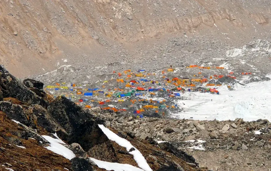
Cho Oyu stands as the sixth highest mountain in the world, reaching an elevation of 8,188 meters above sea level within the Mahalangur Himalaya range. Located on the border between Nepal and the Tibet Autonomous Region of China, its name translates from Tibetan as "Turquoise Goddess." The mountain was first successfully summited on October 19, 1954, by an Austrian expedition led by Herbert Tichy, Joseph Jöchler, and Pasang Dawa Lama. It is widely considered the most accessible of the fourteen 8,000-meter peaks due to its relatively straightforward northwest ridge route and moderate slopes. The peak serves as a prominent landmark near the Nangpa La pass, which has historically functioned as a vital high-altitude trading route between Tibet and the Khumbu Sherpas. Today, Cho Oyu remains a primary objective for commercial expeditions and climbers seeking to gain experience at extreme altitudes before attempting more technical peaks like Mount Everest or K2.
- Location: Nepal
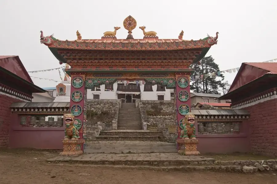
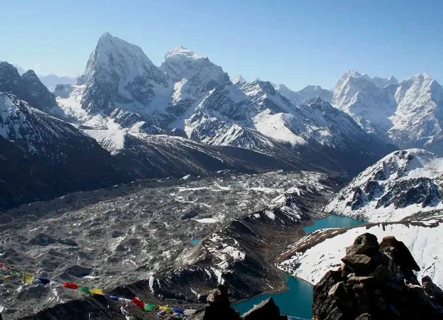
- Top sights: Nangpa La · Palung Ri / Chowosha Bei Feng · Siguang
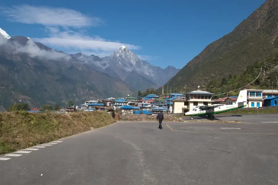
- Nearby: Namche Bazaar (6 km)
Best time to visit & climate
The most pleasant time to visit is May, Jun, Sep.
| Jan | Feb | Mar | Apr | May | Jun | Jul | Aug | Sep | Oct | Nov | Dec | |
|---|---|---|---|---|---|---|---|---|---|---|---|---|
| Avg °C | -7 | -5 | -2 | 1 | 5 | 8 | 10 | 9 | 7 | 2 | -1 | -4 |
| Rain mm | 6 | 10 | 13 | 22 | 50 | 83 | 174 | 160 | 93 | 24 | 2 | 3 |
📋 Practical info
Geography
Facts
- Elevation: 8,188 meters (26,864 feet) above sea level
- Location: Border of Nepal and Tibet, China
- First Ascent: October 19, 1954, by Herbert Tichy's team
- Name meaning: "Turquoise Goddess" in Tibetan
- Range: Mahalangur Himal section of the Himalayas
- Status: The sixth highest mountain in the world
Explore nearby
Notable places around
Route planner — Car & Motorhome
Where do you start? We build the route here, with stops and country notes along the way.
© OpenStreetMap contributors · OpenRouteService
Sights in the town Cho Oyu (3)
Sights nearby
Frequently asked questions
Is Cho Oyu safe?
When is the season?
Altitude sickness?
Do you need a permit?
How is the weather?
Cho Oyu: where is it located?
Cho Oyu: what is there to see?
Cho Oyu: when is the best time to visit?
Cho Oyu: why is it worth visiting?

Nearby cities
History & landmarks
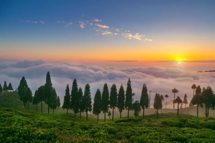
Nature
More places