Plizio Visual Lab
Phosphate Cantilevers

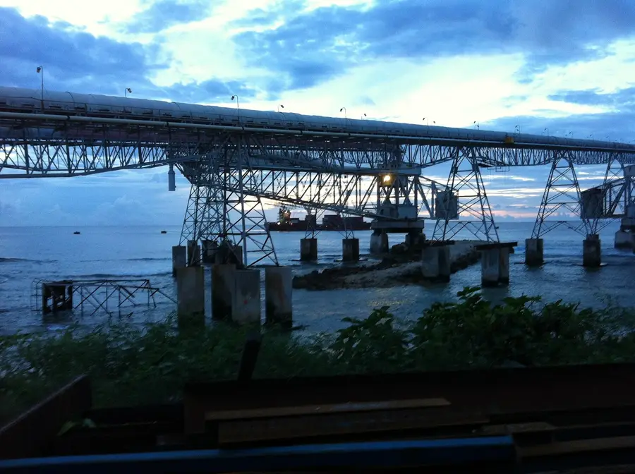
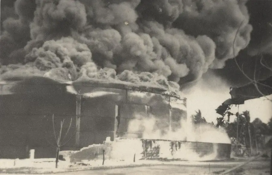
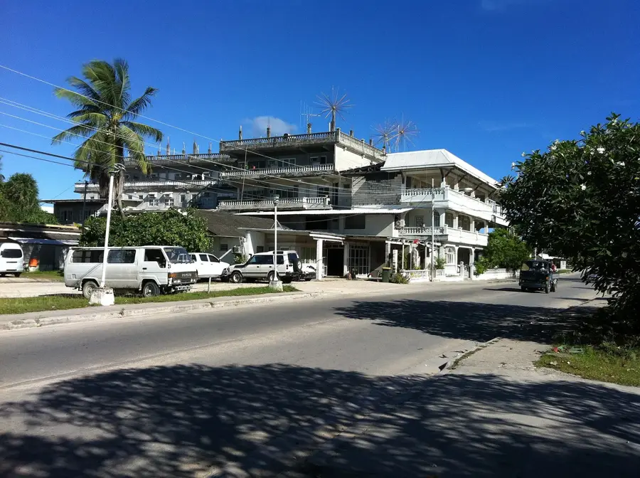
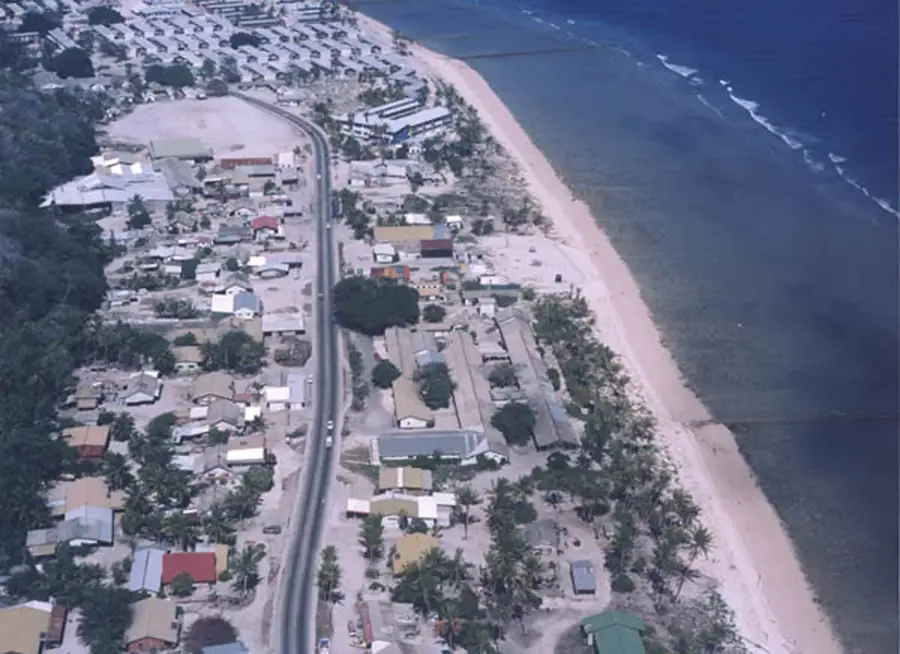
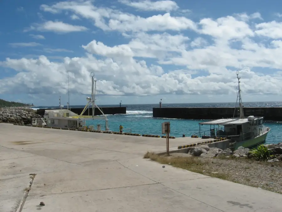
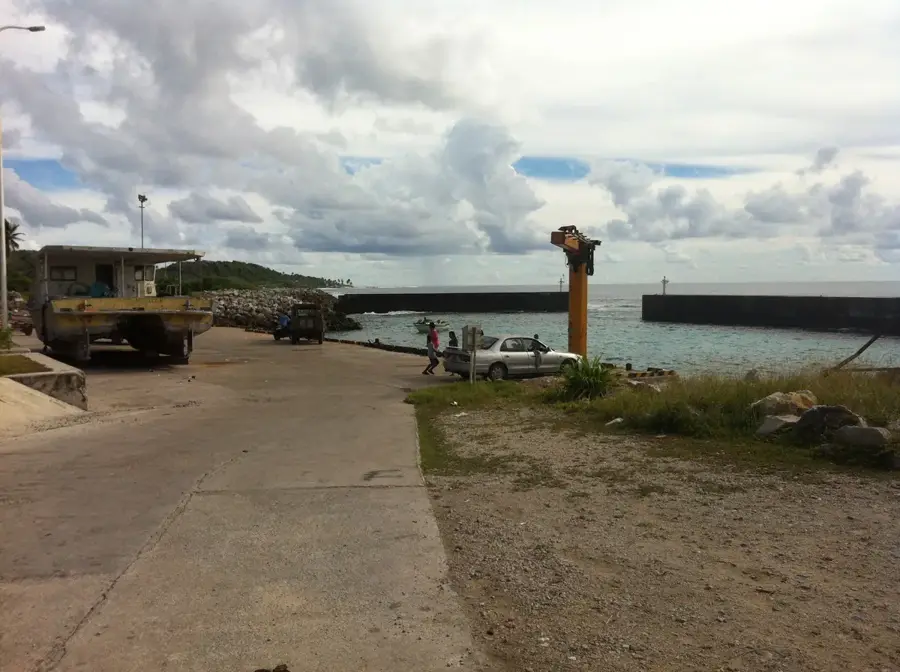
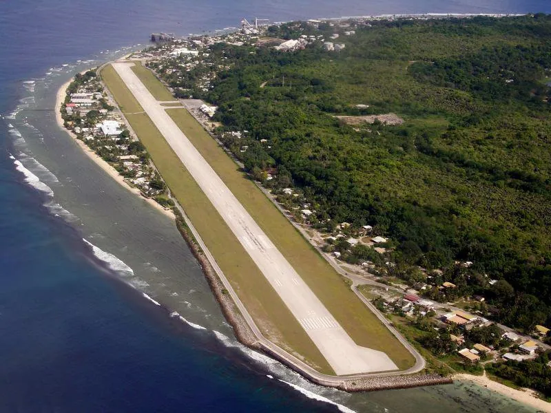
Nauru's industrial landscape is defined by the massive phosphate cantilever structures that extend from its western shore. Because the island is surrounded by a sharp coral reef and lacks a natural deep-water harbor, these monumental steel arms were built to load bulk phosphate directly onto cargo ships moored in the deep ocean. The first of these structures was commissioned in 1930 by the British Phosphate Commissioners, marking a major engineering feat for the time. During the economic peak of the 1970s, these cantilevers were the economic lifeline of the nation, enabling the rapid export of phosphate that once made Nauru one of the wealthiest countries per capita. Today, the two primary active cantilevers stand as iconic symbols of Nauru's mining history. They represent both the technological ingenuity required to overcome geographical barriers and the dramatic environmental impact of the industry. For visitors, these structures provide a stark and powerful visual reminder of the resource extraction that has defined Nauru's modern identity.
- Location: Nauru
- Top sights: Broken Down Cantilever Cranes · Orro Congregational Church · A.O.G
- Nearby: Ewa (5 km)
Best time to visit & climate
The most pleasant time to visit is May, Jun, Sep.
| Jan | Feb | Mar | Apr | May | Jun | Jul | Aug | Sep | Oct | Nov | Dec | |
|---|---|---|---|---|---|---|---|---|---|---|---|---|
| Avg °C | 28 | 28 | 28 | 28 | 28 | 28 | 28 | 28 | 28 | 28 | 28 | 28 |
| Rain mm | 194 | 192 | 193 | 161 | 116 | 107 | 123 | 118 | 108 | 118 | 133 | 202 |
📋 Practical info
Geography
Facts
- Iconic symbols of phosphate industry
- Extend beyond the fringing reef
- Located in Aiwo District
- Allow loading of deep-sea vessels
- Primary economic infrastructure
- Two main structures are in use
Explore nearby
Notable places around
Route planner — Car & Motorhome
Where do you start? We build the route here, with stops and country notes along the way.
© OpenStreetMap contributors · OpenRouteService
Sights in the town Phosphate Cantilevers (10)
Monument to the Nauruans Exiled in WWII
Monument commemorating Nauruans exiled during World War II.
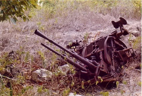
Japanese WWII Gun
Japanese gun from World War II on Nauru.
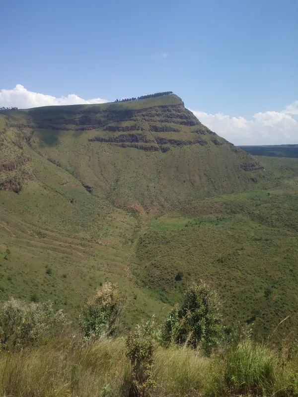
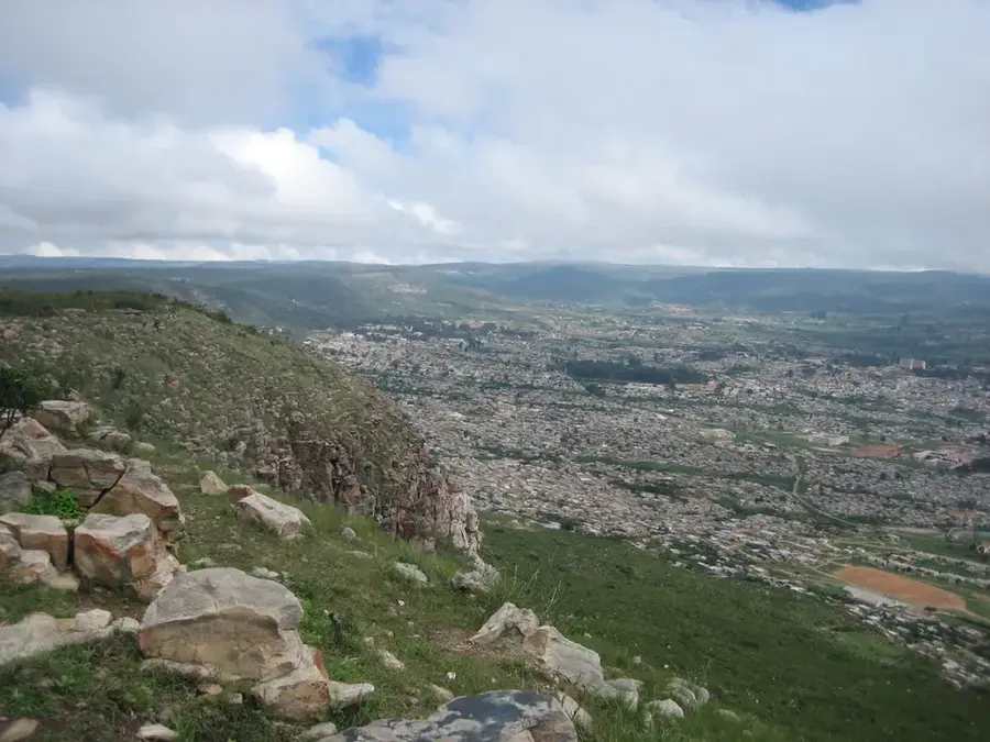
Command Ridge
Command Ridge is a mountain in Nauru, the highest point on the island.
Naoero Museum🏛 museum
Museum in Nauru with exhibits on the island's history and culture.
Buada Chapel
Chapel in Buada, Nauru, used for Christian prayers.
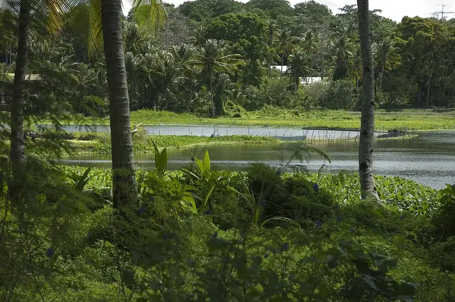
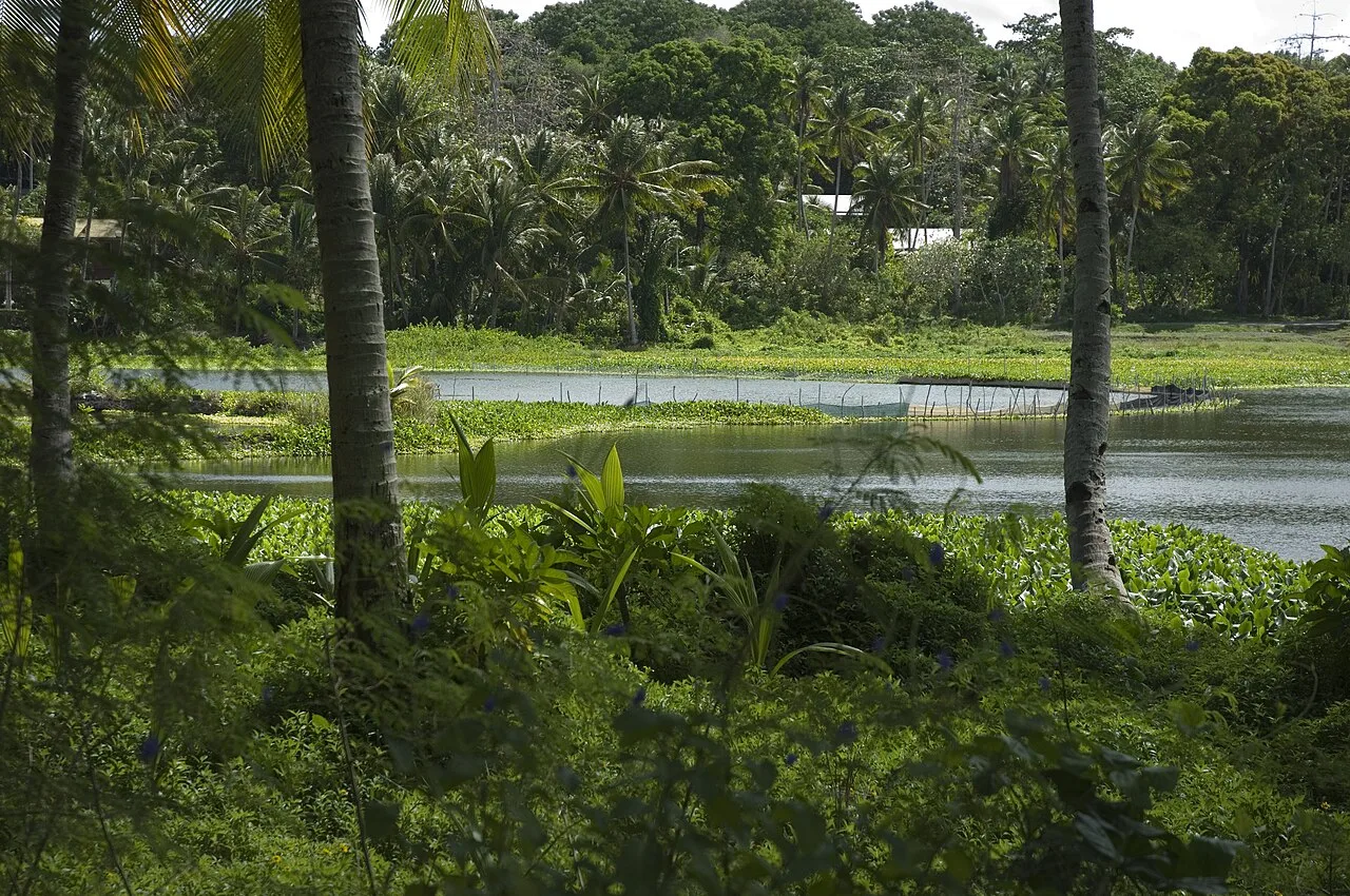
Lagoon viewpoint
Viewpoint overlooking Nauru's lagoon.
Sights nearby
Frequently asked questions
What are the phosphate cantilever loading bridges?
Are the cantilever bridges still in operation?
Can one visit the cantilever bridges?
Why are they important for Nauru?
Is the site safe for photography?
Phosphate Cantilevers: where is it located?
Phosphate Cantilevers: what is there to see?
Phosphate Cantilevers: when is the best time to visit?
Phosphate Cantilevers: why is it worth visiting?

Nearby cities


History & landmarks


Nature
More places