Plizio Visual Lab
Otavi Mountains

Weather…
Water temperature…
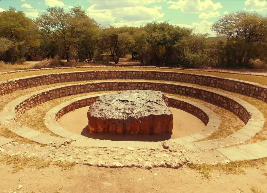
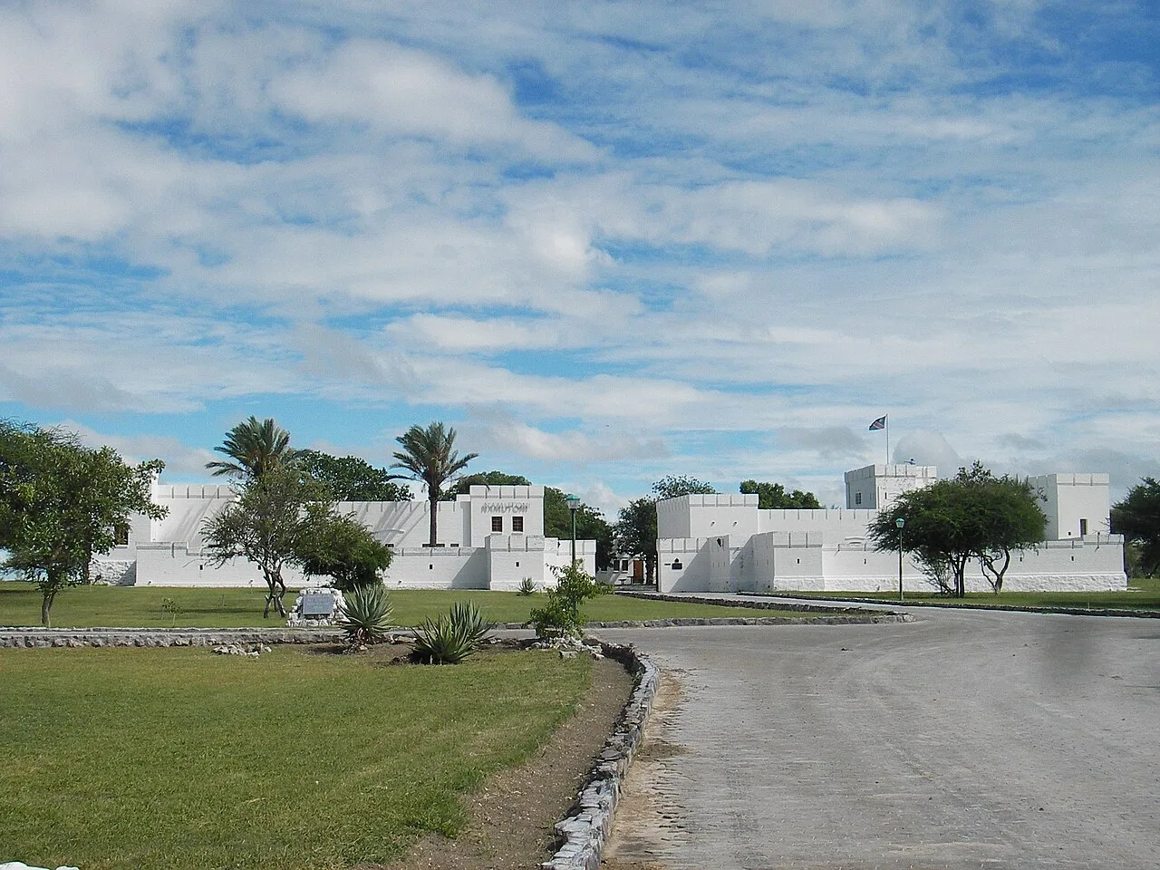
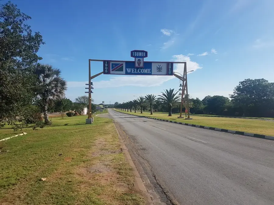
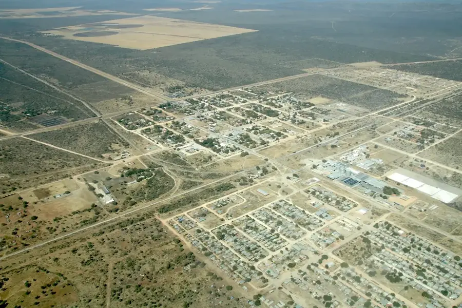
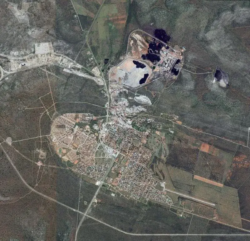
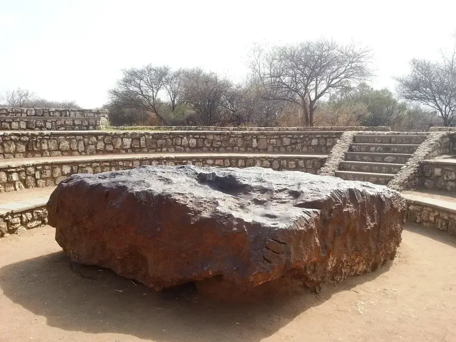
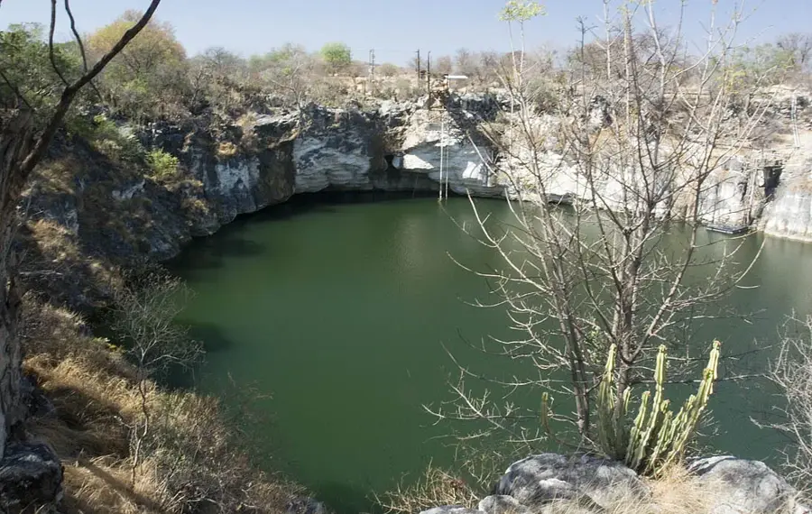
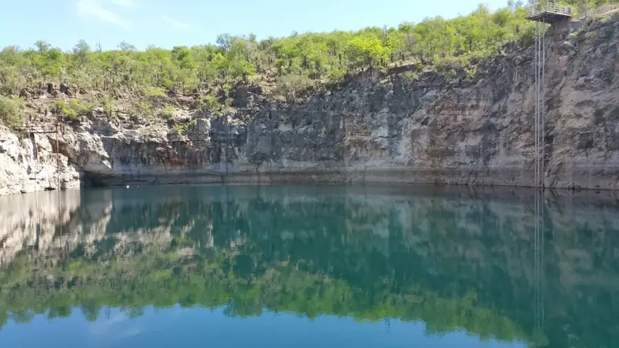
The Otavi Mountains are situated in northern Namibia, forming the core of the productive 'Maize Triangle' alongside the towns of Otavi, Tsumeb, and Grootfontein. This region is internationally renowned for its exceptional karst geology and immense mineral wealth, making it a historic hub for copper and base metal mining. The mountains consist of ancient limestone and dolomite layers that have been weathered over millions of years to create complex subterranean cave systems and deep sinkholes. Notable features include Lake Otjikoto and Lake Guinas, collapsed karst caves that are among the deepest in Africa and hold historical secrets from World War I. Receiving significantly higher rainfall than the rest of Namibia, the Otavi range supports lush vegetation and intensive commercial farming, particularly maize and citrus. The area is also home to the Hoba Meteorite, the largest known intact meteorite on Earth. Today, the mountains are a magnet for geologists, cave divers, and history buffs, offering a unique blend of natural wonders and industrial heritage in a surprisingly green Namibian setting.
- Location: Namibia
- Nearby: Otavi (23 km)
Best time to visit & climate
The most pleasant time to visit is May, Aug, Sep.
| Jan | Feb | Mar | Apr | May | Jun | Jul | Aug | Sep | Oct | Nov | Dec | |
|---|---|---|---|---|---|---|---|---|---|---|---|---|
| Avg °C | 25 | 24 | 23 | 22 | 19 | 16 | 16 | 19 | 23 | 26 | 26 | 26 |
| Rain mm | 125 | 101 | 79 | 31 | 3 | 0 | 0 | 0 | 2 | 26 | 66 | 87 |
📋 Practical info
Geography
Facts
- The highest peak in the range reaches 2,155 meters.
- Geology is dominated by Precambrian karst limestone.
- A major hub for Namibian mining (copper, lead, zinc).
- Home to Dragon's Breath Hole, the world's largest underground lake.
- Wettest region in Namibia, with up to 600 mm of rain annually.
- The Hoba Meteorite, the world's largest, is located nearby.
Explore nearby
Notable places around
Route planner — Car & Motorhome
Where do you start? We build the route here, with stops and country notes along the way.
© OpenStreetMap contributors · OpenRouteService
Sights nearby
Frequently asked questions
Is it more fertile there?
Are there known sights?
Is it family-friendly?
Which season is best?
Are there accommodations?
Otavi Mountains: where is it located?
Otavi Mountains: when is the best time to visit?
Otavi Mountains: why is it worth visiting?

Nearby cities
History & landmarks
Nature
More places