Plizio Visual Lab
Baynes Mountains

Weather…
Water temperature…
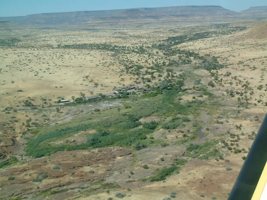
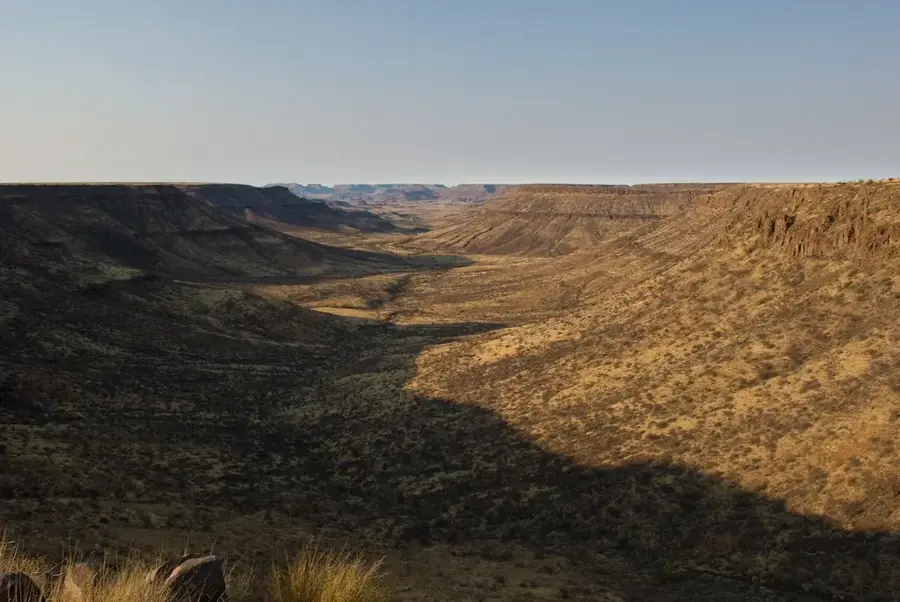
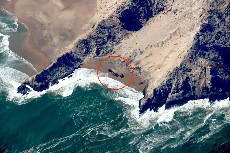
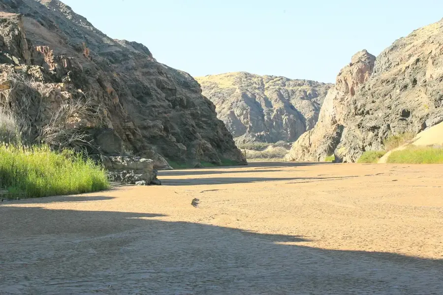
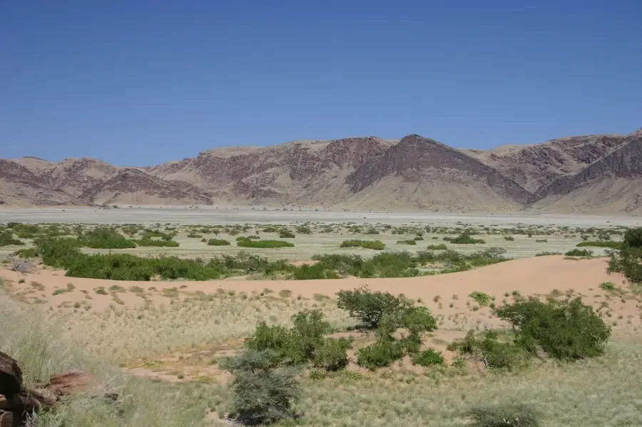
The Baynes Mountains stretch along the border between Namibia and Angola, forming one of the most remote mountain ranges in Southern Africa. This massif is predominantly composed of quartzite and sandstone, reaching impressive heights of up to 2,000 meters, making it one of the highest points in the Kaokoveld. The mountains drop steeply toward the Kunene River, creating deep gorges and dramatic cliffs that are largely inaccessible to human settlement. The vegetation is characterized by drought-resistant shrubs and rare succulent plants that survive in rocky crevices. Historically, the region's ruggedness provided a natural refuge for local communities during colonial conflicts. The area is ecologically significant as it serves as a retreat for rare bird species and large raptors. Geological studies in the Baynes Mountains have revealed complex folding processes dating back to the Proterozoic era, contributing to the understanding of the region's ancient crustal evolution.
- Location: Namibia
- Nearby: Epupa Falls (75 km)
Best time to visit & climate
The most pleasant time to visit is Jun–Aug.
| Jan | Feb | Mar | Apr | May | Jun | Jul | Aug | Sep | Oct | Nov | Dec | |
|---|---|---|---|---|---|---|---|---|---|---|---|---|
| Avg °C | 25 | 25 | 25 | 26 | 24 | 22 | 22 | 23 | 24 | 26 | 27 | 26 |
| Rain mm | 50 | 87 | 137 | 35 | 1 | 0 | 0 | 0 | 1 | 7 | 22 | 26 |
📋 Practical info
Geography
Facts
- The highest peak of the Baynes Mountains reaches approximately 2,038 meters.
- The range forms a natural barrier along the border with Angola.
- The Kunene River carves deep canyons along the northern edge of the range.
- Geology is dominated by hard Precambrian quartzite formations.
- The region is a known habitat for the rare Cinderella Waxbill bird.
- There are almost no developed roads; access is restricted to 4x4 vehicles.
Explore nearby
Notable places around
Route planner — Car & Motorhome
Where do you start? We build the route here, with stops and country notes along the way.
© OpenStreetMap contributors · OpenRouteService
Sights nearby
Frequently asked questions
Is it a difficult destination?
Do I need a guide?
When is it best?
Is there infrastructure?
What is the reward?
Baynes Mountains: where is it located?
Baynes Mountains: when is the best time to visit?
Baynes Mountains: why is it worth visiting?

Nearby cities
History & landmarks

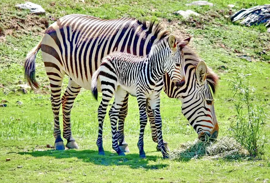
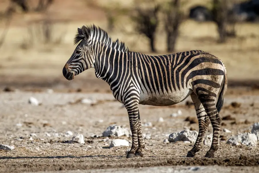
Nature
More places