Plizio Visual Lab
Putao
ℹ️Practical info — Putao
▾
🌤 Weather — 5 days
📍 Nearby
Sights nearby
Water temperature…
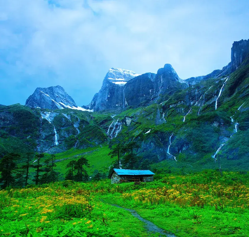
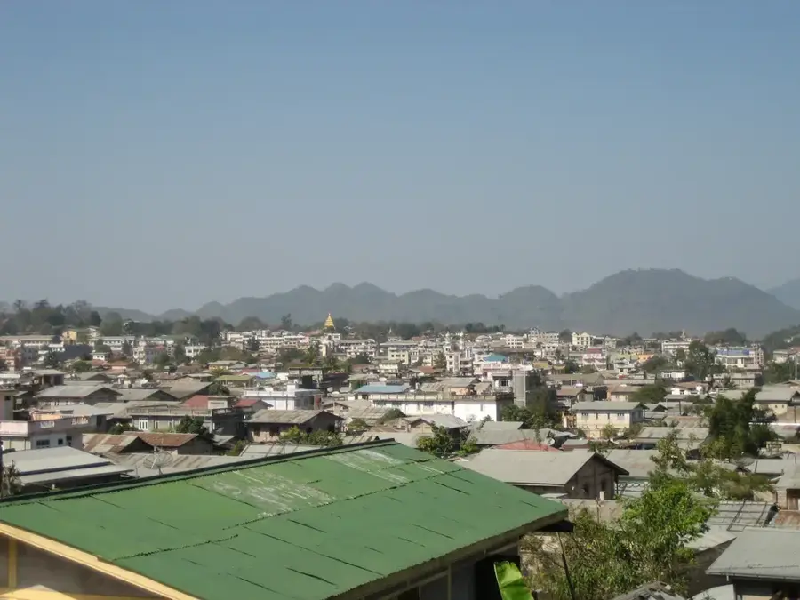
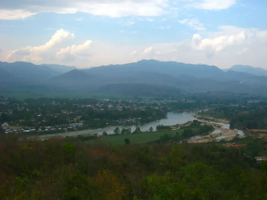
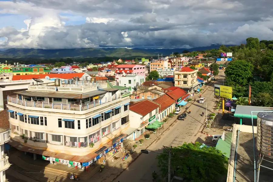
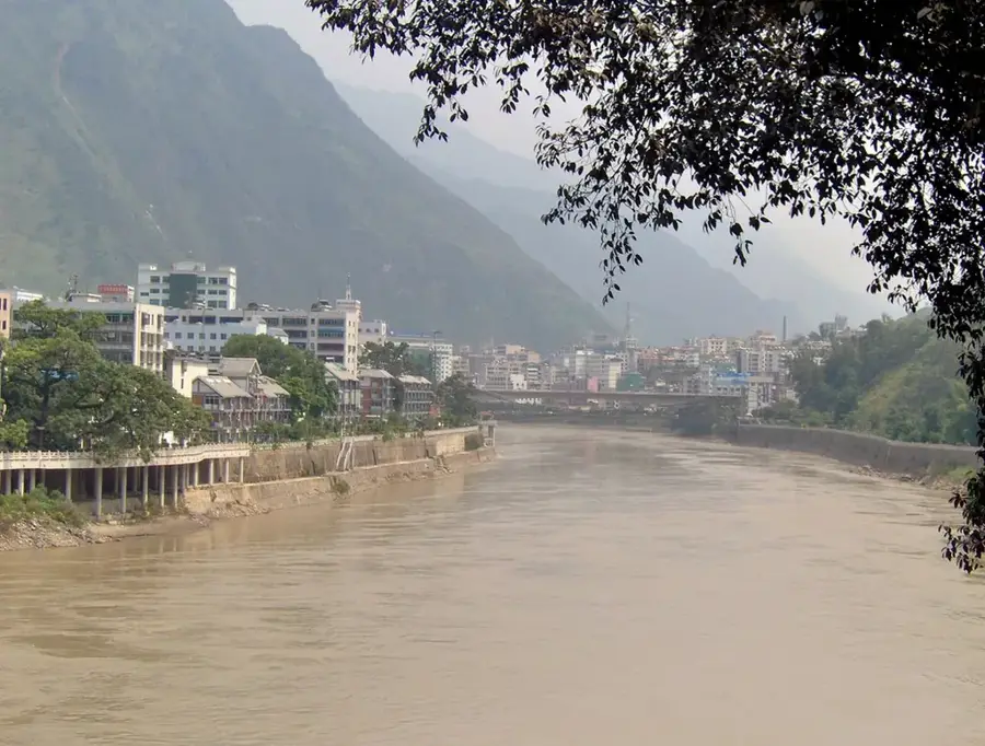
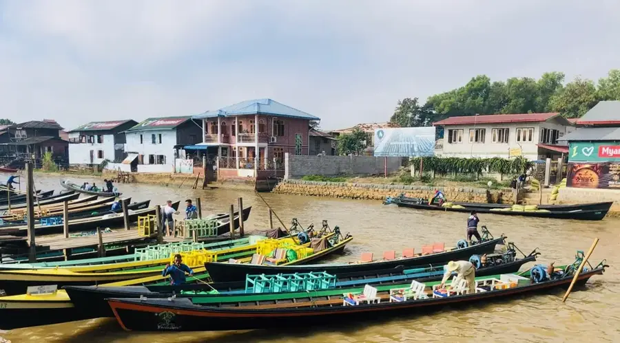
Putao is Myanmar's northernmost town, tucked away in the shadows of the snow-capped Himalayan foothills. This isolated region is a paradise for adventurers, offering world-class trekking, white-water rafting on the Nam Lang River, and the chance to see rare flora like the Black Orchid. It is one of the few places in Southeast Asia where you can experience a truly alpine environment and see high peaks covered in snow. The town is inhabited mainly by Lisu and Rawang ethnic groups, providing a unique cultural experience far removed from the Burmese heartland. Nature lovers visit to explore the Hkakabo Razi National Park, home to the highest peak in the region. The scenery is dramatic, with crystal-clear rivers, dense sub-tropical forests, and distant icy summits reflecting in the water. Accessibility is limited, usually requiring a domestic flight from Myitkyina or Mandalay. The trekking season runs from October to April, with the clearest mountain views available during the cold winter months. This is a destination for those seeking solitude, raw natural beauty, and a chance to step off the grid. Local mountain cuisine and winter oranges are regional highlights.
- Location: Myanmar (Burma)
- Top sights: ပူတာအိုစျေး · Putao Airport Market
- Nearby: Hsipaw (69 km)
- Population: ~10.000 (2025)
Geography
Facts
- Gateway to the Himalayas
- Northernmost town
- Snow-capped peaks
- Lisu & Rawang culture
- White-water rafting
- Accessible only by flight
- Rare Black Orchids
- Hkakabo Razi National Park
Explore nearby
Notable places around
Route planner — Car & Motorhome
Where do you start? We build the route here, with stops and country notes along the way.
© OpenStreetMap contributors · OpenRouteService
Sights in the town Putao (2)
Frequently asked questions
Putao: where is it located?
Putao: what is there to see?
Putao: why is it worth visiting?

Nearby cities
History & landmarks
Nature
More places