Plizio Visual Lab
Lashio
ℹ️Practical info — Lashio
▾
🌤 Weather — 5 days
📍 Nearby
Sights nearby
💡 Tips
- Visit the lively morning market early to see the diverse ethnic minority groups trading goods.
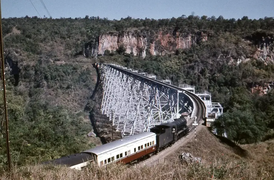
- Take the spectacular train journey over the Gokteik Viaduct towards Pyin Oo Lwin.
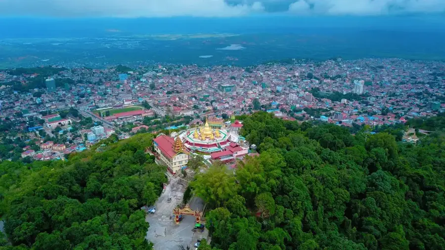
- Dress modestly when visiting the Mansu Pagoda and other religious sites.
- Try the local hot springs on the outskirts of town, popular with locals in the cooler months.
🍽 Food
The iconic dish of the region; rice noodles in a clear broth or sticky sauce, served in local teahouses.
Warm, creamy chickpea tofu served over noodles, a comforting local breakfast.
A crunchy, savory mix of fermented tea leaves, nuts, and garlic, available at traditional eateries.
🛍 Shopping · 🧘 Quiet spots
Great for sampling local street food and buying inexpensive clothing and trinkets.
Look for handwoven Shan fabrics and bags in the main market.
A peaceful Chinese temple with detailed architecture and a calm atmosphere.
Gives a serene environment and panoramic views over the town and surrounding valleys.
Water temperature…
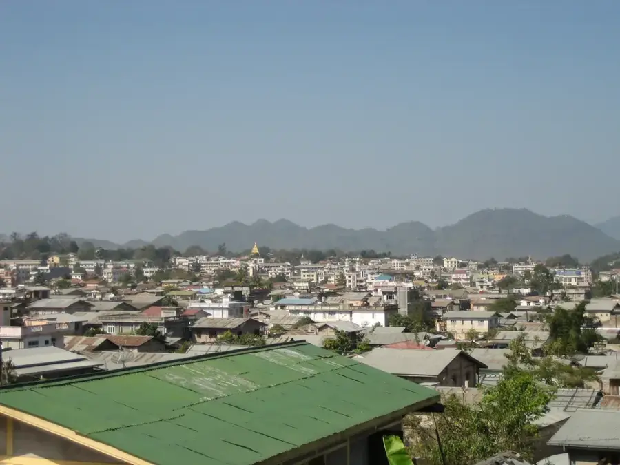
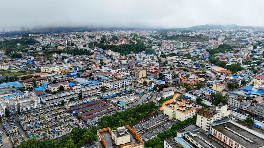
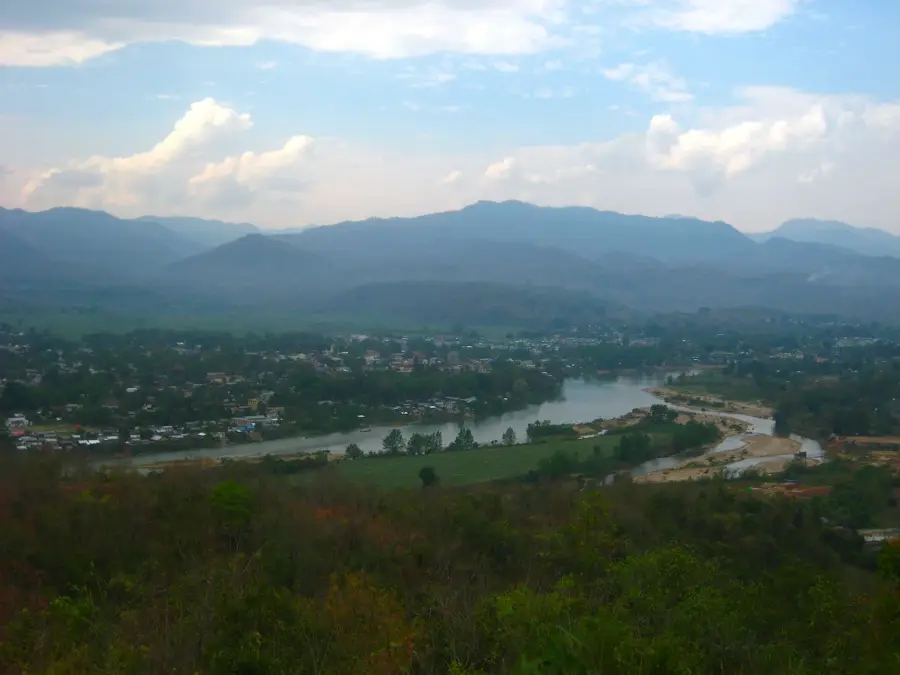
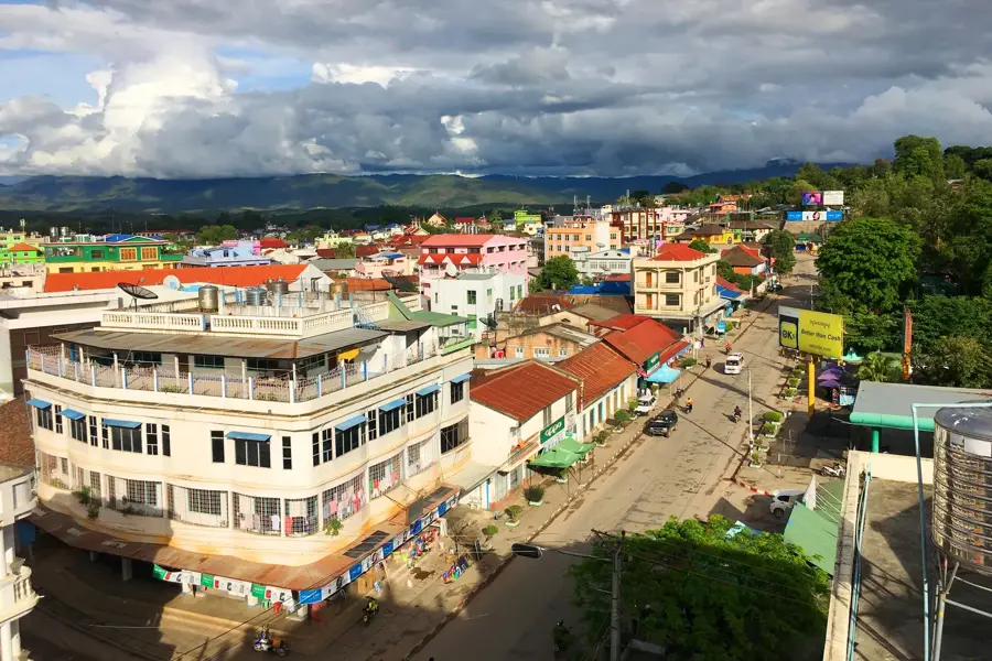
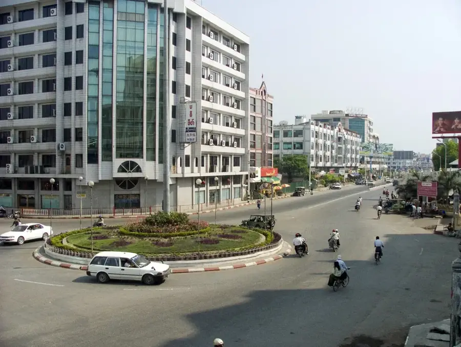
Lashio lies in northern Shan State at 855 metres altitude, 320 kilometres northeast of Mandalay close to the Chinese border, with around 132,000 inhabitants. The town is the terminus of the famous Burma Road, built in 1937-1938 by 200,000 Chinese workers and running 1,154 kilometres to Kunming. During World War II this road was the only supply line for Chiang Kai-shek's Chinese troops in the war against Japan. In April 1942 the Japanese captured Lashio and cut this lifeline. During British Burma (1886-1948) the town was the administrative seat of the Northern Shan State. Its population is markedly multi-ethnic, with Shan, Bamar, Chinese, Indians and Kachin living side by side. In August 2024, in the course of Myanmar's civil war, the MNDAA alliance seized Lashio, marking a turning point in the country's north.
- Location: Myanmar (Burma)
- Top sights: လွတ်လပ်ရေးကျောက်တိုင် · ရတနာေဘာဓရံု · Pan Ai Pagoda
- Nearby: Muse (22 km)
- Population: ~131.000 (2025)
Best time to visit & climate
The most pleasant time to visit is Feb, Mar, Nov.
| Jan | Feb | Mar | Apr | May | Jun | Jul | Aug | Sep | Oct | Nov | Dec | |
|---|---|---|---|---|---|---|---|---|---|---|---|---|
| Avg °C | 16 | 18 | 22 | 25 | 25 | 25 | 24 | 24 | 24 | 22 | 19 | 16 |
| Rain mm | 21 | 6 | 12 | 36 | 78 | 136 | 177 | 149 | 89 | 74 | 21 | 13 |
Geography
Facts
- Bevölkerung ca. 132.000
- Auf 855 m Höhe
- 320 km nordöstlich von Mandalay
- Endpunkt der Burma Road (1.154 km, 1937-1938)
- Britisch-Birma 1886-1948
- Japanische Eroberung April 1942
- Multiethnisch: Shan, Bamar, Chinesen
- MNDAA-Eroberung August 2024
Explore nearby
Notable places around
Route planner — Car & Motorhome
Where do you start? We build the route here, with stops and country notes along the way.
© OpenStreetMap contributors · OpenRouteService
Sights in the town Lashio (6)
Frequently asked questions
Where is Lashio located?
Is Lashio developed for tourism?
What is the climate like in Lashio?
What can you do nearby?
What is the best way to travel there?
Lashio: where is it located?
Lashio: what is there to see?
Lashio: when is the best time to visit?
Lashio: why is it worth visiting?

Nearby cities
History & landmarks
Nature
More places