Plizio Visual Lab
Kengtung
ℹ️Practical info — Kengtung
▾
🌤 Weather — 5 days
📍 Nearby
Sights nearby
💡 Tips
- Motorbike rentals are the best way to explore the town itself, but you must hire a licensed guide to visit the surrounding ethnic hill tribe villages.
- The weather can be surprisingly chilly in the mornings and evenings during the dry season, so pack a light jacket.
- Change your money to fresh, crisp Kyat or Thai Baht, as both currencies are widely accepted here.
- Wake up early to visit the central market when it is most animated and full of traders from surrounding villages.
🍽 Food
A comforting bowl of rice noodles with minced pork or chicken in a mild tomato broth, easily found at local teahouses.
A distinctively spiced, slightly sour local pork sausage often served grilled near the central market.
A creamy, mildly spiced coconut curry noodle soup with roots in regional trade, best tried at morning food stalls.
🛍 Shopping · 🧘 Quiet spots
The sprawling central market is great for buying regional tea, spices, and observing the diverse traditional clothing of locals.
Beautiful ethnic textiles and bags made by the Akha and Ann tribes, often available directly from village artisans or in town boutiques.
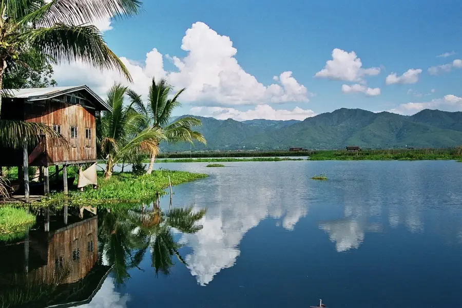
Take a late afternoon stroll around this central lake as the sun sets and the surrounding stupas reflect on the water.
A peaceful viewpoint dominated by a massive, centuries-old Kanyin-phyu tree, offering sweeping views of the town.
Water temperature…
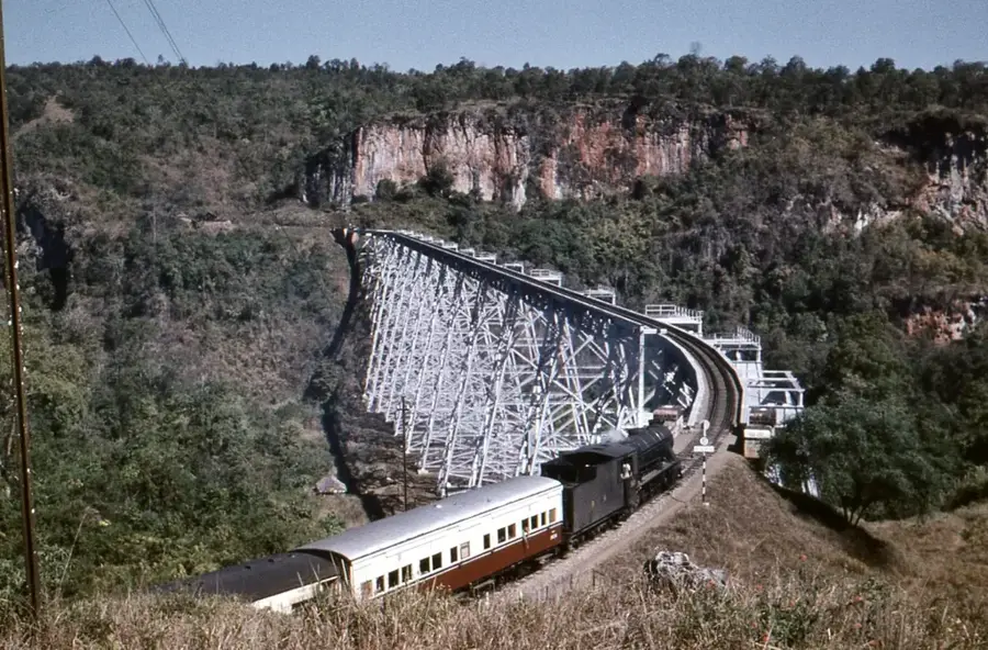
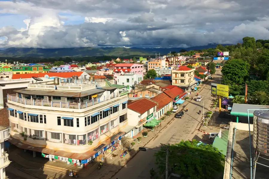
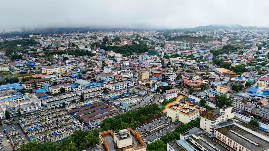
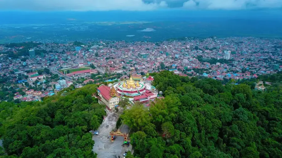
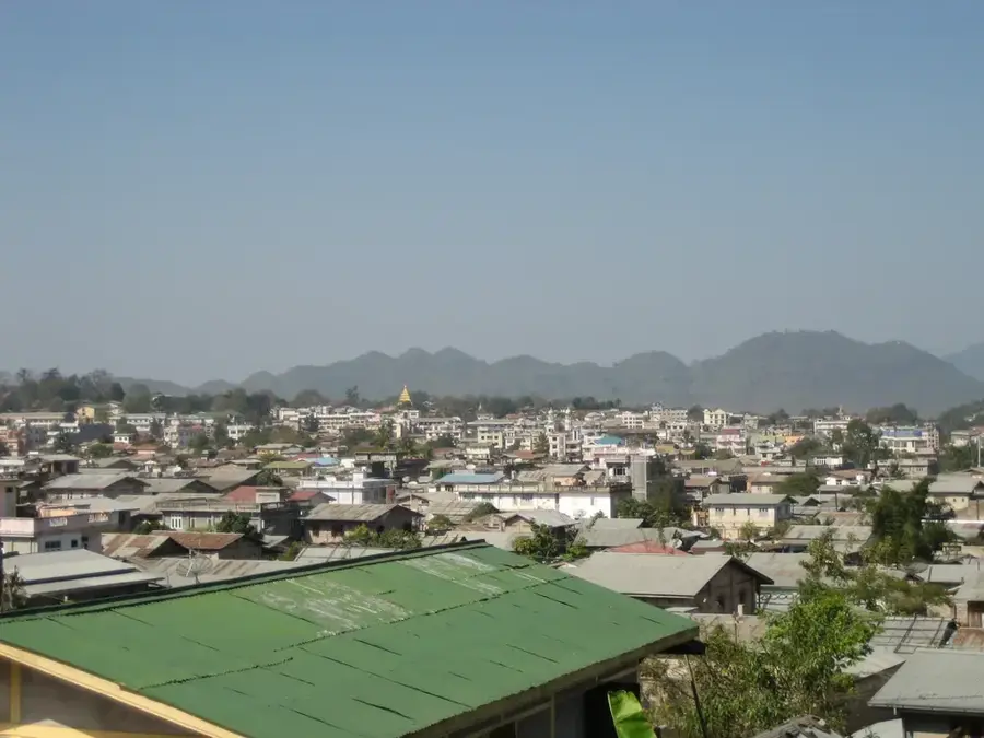
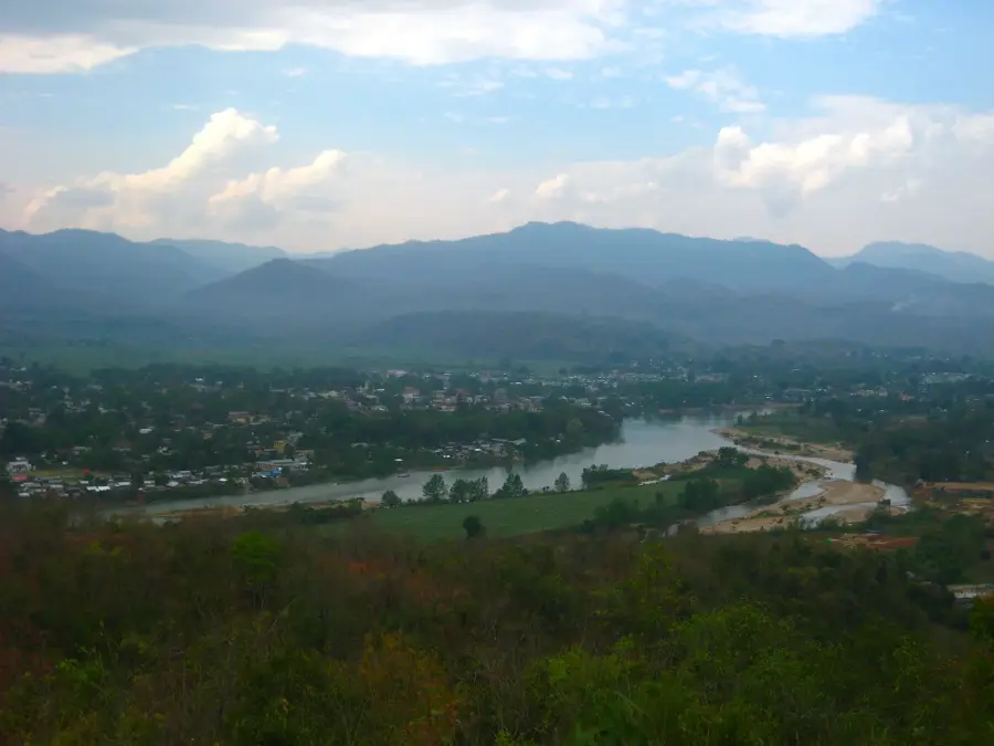
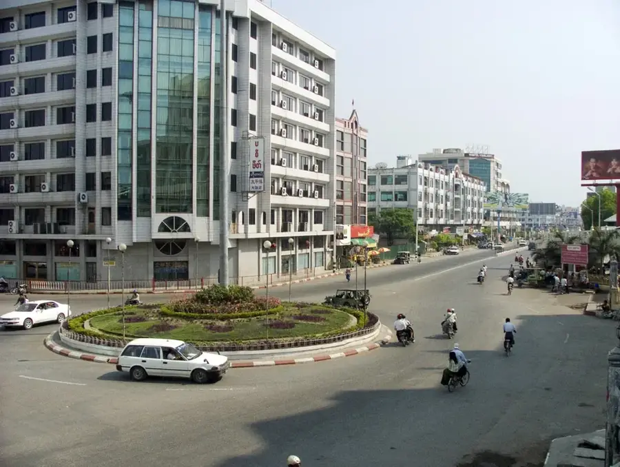
Kengtung (Kyaingtong) lies in eastern Shan State at 800 metres altitude, 446 kilometres east of Mandalay, close to the borders with China, Laos and Thailand (the Golden Triangle), with around 172,000 inhabitants. The town was founded in the 13th century by the Lanna kingdom and was for centuries an independent Shan principality under a Saopha (prince) of the Khün people. During British Burma (1886-1948) Kengtung was one of the largest and richest of the Shan States and retained its Saopha until 1959. The town is the heart of the Khün culture, closely related to the northern Thai Lanna. The surrounding mountains are home to Akha, Lahu, Wa, Eng and Palaung peoples. In 1991 the military junta demolished the 19th-century royal palace - an act condemned internationally as deliberate destruction of heritage. The central Naung Tung lake defines the town's character.
- Location: Myanmar (Burma)
- Top sights: Dipterocarpaceae Tree · Standing Buddha · Par Daeng Gate
Best time to visit & climate
The most pleasant time to visit is Feb, Mar, Nov.
| Jan | Feb | Mar | Apr | May | Jun | Jul | Aug | Sep | Oct | Nov | Dec | |
|---|---|---|---|---|---|---|---|---|---|---|---|---|
| Avg °C | 15 | 18 | 21 | 24 | 24 | 24 | 23 | 23 | 22 | 21 | 18 | 15 |
| Rain mm | 24 | 5 | 17 | 40 | 97 | 123 | 209 | 194 | 123 | 91 | 32 | 16 |
Geography
Facts
- Bevölkerung ca. 172.000
- Auf 800 m Höhe
- 446 km östlich von Mandalay
- Im Goldenen Dreieck (China/Laos/Thailand)
- Lanna-Gründung 13. Jh.
- Britisch-Birma 1886-1948
- Eigener Saopha bis 1959
- Königlicher Palast 1991 abgerissen
Explore nearby
Notable places around
Route planner — Car & Motorhome
Where do you start? We build the route here, with stops and country notes along the way.
© OpenStreetMap contributors · OpenRouteService
Sights in the town Kengtung (3)
Frequently asked questions
What is special about Kengtung?
How to get to Kengtung?
When is the best time to visit?
What should one keep in mind?
How many days to allocate?
Kengtung: where is it located?
Kengtung: what is there to see?
Kengtung: when is the best time to visit?
Kengtung: why is it worth visiting?

Nearby cities
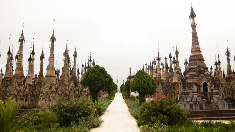
History & landmarks
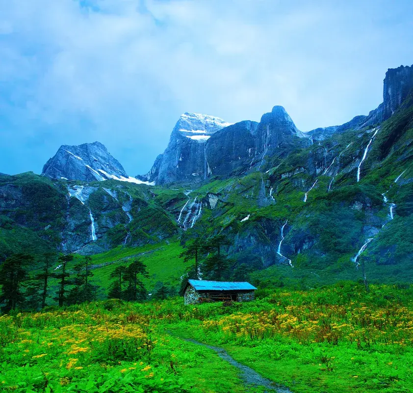
Nature
More places