Plizio Visual Lab
Tigyit Coal Power Plant
Weather…
Water temperature…
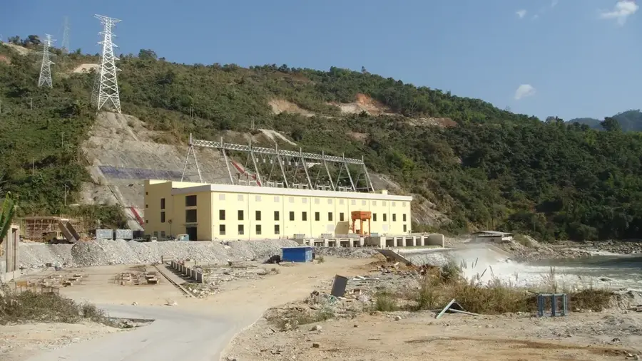
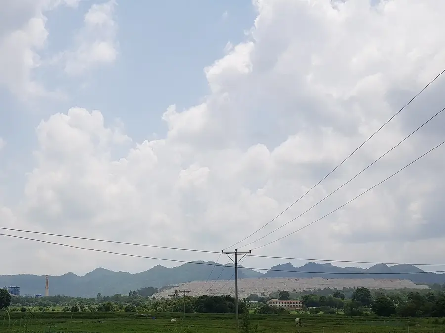
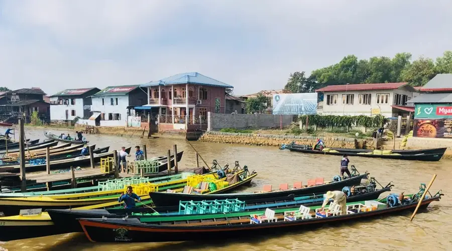
The Tigyit Coal Power Plant is located in Shan State, Myanmar, near the town of Pinlaung, and stands as the largest coal-fired facility in the country. The plant was established to stabilize the power supply in the central region and reduce reliance on seasonally fluctuating hydropower. It utilizes lignite as fuel, which is sourced directly from an adjacent open-pit mine. The facility consists of two units with a total installed capacity of approximately 120 megawatts. Construction was completed in 2005 with the support of Chinese technology. In recent years, extensive upgrades have been implemented to reduce emissions and improve environmental standards, as the plant had faced criticism regarding air pollution. The station remains a controversial yet technically essential component of Myanmar's energy mix for providing reliable base-load power.
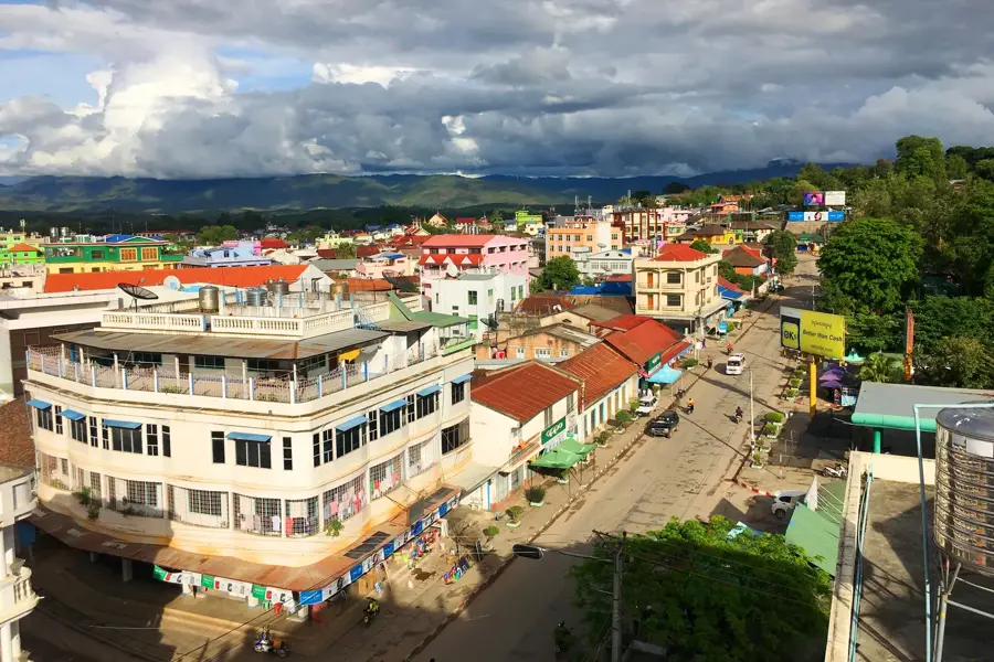
- Location: Myanmar (Burma)
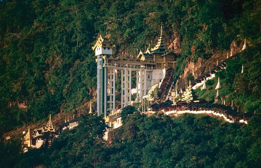
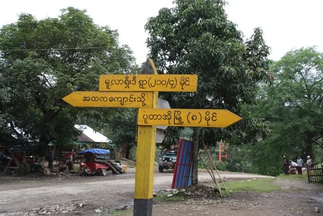
- Top sights: ထင္း႐ူးေတာင္ · Naung Mu Pagoda · monastery
- Nearby: Kalaw (15 km)
Best time to visit & climate
The most pleasant time to visit is Jan, Feb, Dec.
| Jan | Feb | Mar | Apr | May | Jun | Jul | Aug | Sep | Oct | Nov | Dec | |
|---|---|---|---|---|---|---|---|---|---|---|---|---|
| Avg °C | 22 | 24 | 27 | 30 | 29 | 28 | 27 | 27 | 27 | 27 | 25 | 23 |
| Rain mm | 9 | 1 | 7 | 15 | 52 | 57 | 72 | 75 | 55 | 66 | 15 | 7 |
📋 Practical info
Geography
Facts
- The power plant utilizes lignite coal from the Tigyit basin.
- The total installed capacity is 120 megawatts, divided into two 60 MW units.
- Official operations at the facility commenced in the year 2005.
- The project was supported by the China National Heavy Machinery Corporation.
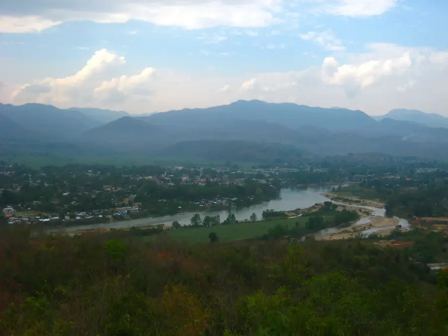
- Tigyit is located on a high plateau in the southern Shan State.
- The plant underwent a temporary shutdown after 2015 for technical upgrades.
Explore nearby
Notable places around
Route planner — Car & Motorhome
Where do you start? We build the route here, with stops and country notes along the way.
© OpenStreetMap contributors · OpenRouteService
Sights in the town Tigyit Coal Power Plant (6)
Sights nearby
Frequently asked questions
What is the Tigyit coal power plant?
Can tourists visit the plant?
What regional importance does the plant have?
Are there ecological concerns?
Is the area interesting for travelers?
Tigyit Coal Power Plant: where is it located?
Tigyit Coal Power Plant: what is there to see?
Tigyit Coal Power Plant: when is the best time to visit?
Tigyit Coal Power Plant: why is it worth visiting?

Nearby cities
History & landmarks
Nature
More places