Plizio Visual Lab
Myitkyina
ℹ️Practical info — Myitkyina
▾
🌤 Weather — 5 days
📍 Nearby
Sights nearby
💡 Tips
- If you plan to attend the spectacular Manaw Festival in January, book your accommodation several months in advance.
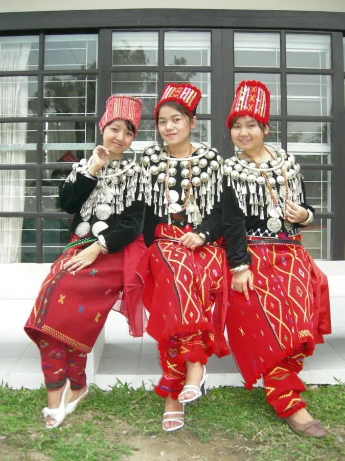
- The city is a melting pot of Kachin, Shan, and Bamar cultures; learn a few words of Kachin to delight the locals.
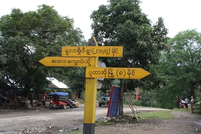
- Hire a motorbike or tuk-tuk to visit Myitsone, the scenic confluence where the mighty Irrawaddy River begins.
- The jade markets are highly fascinating, but only buy expensive stones if you are an experienced gemologist.
🍽 Food
Spicy pounded beef that is a must-try at traditional Kachin restaurants around the downtown area.
A hugely popular breakfast dish best enjoyed early morning at a bustling local tea house.
A regional specialty cooked inside bamboo tubes, often found at riverside eateries.
🛍 Shopping · 🧘 Quiet spots
Observe the intense trading at Myitkyina's central jade market.
Pick up beautifully woven bags and traditional longyis from downtown textile shops.
The promenades along the river are exceptional spots for a sunset stroll.
A peaceful temple complex right by the river offering a serene escape.
Water temperature…
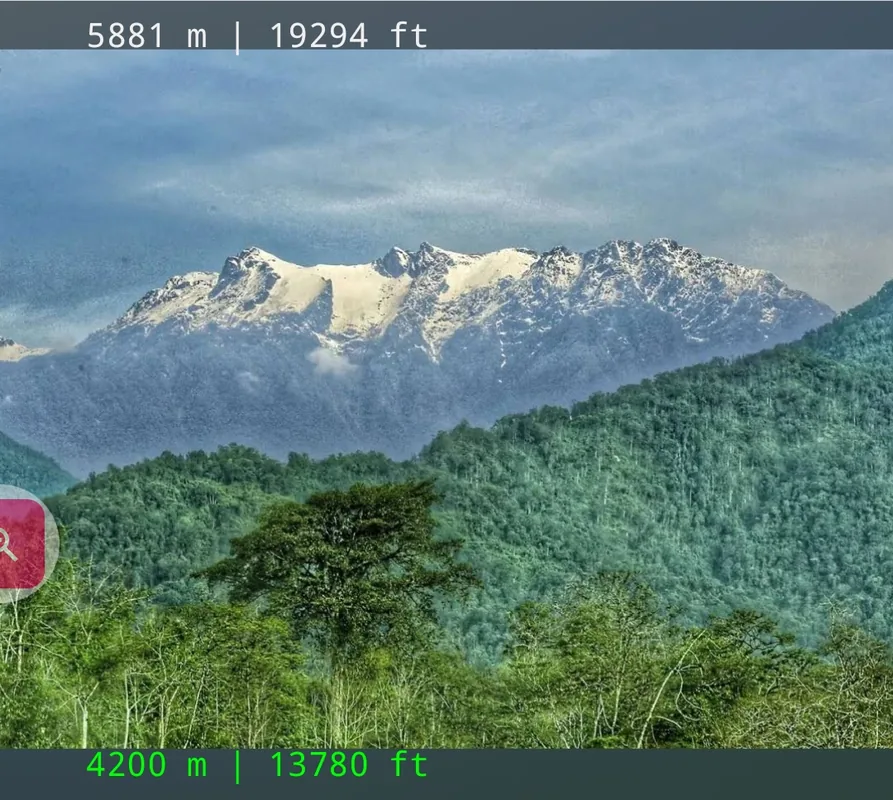
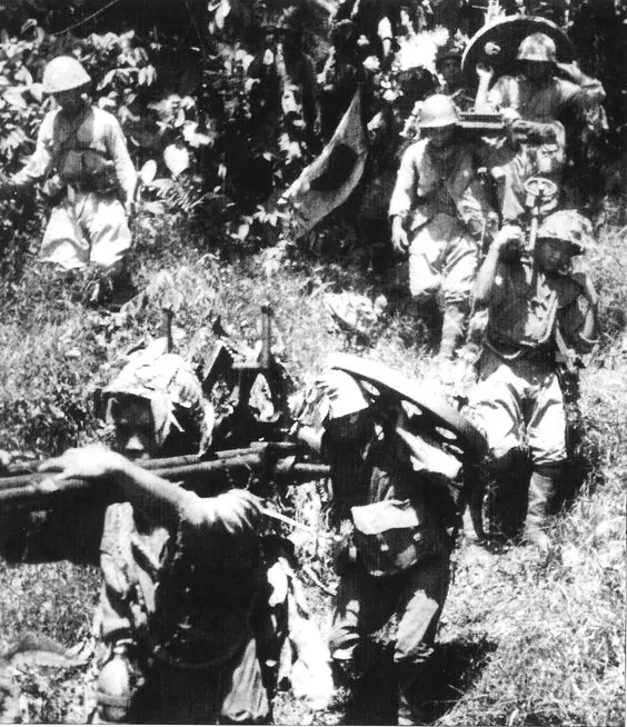
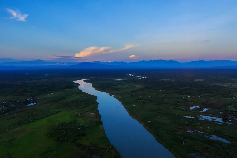
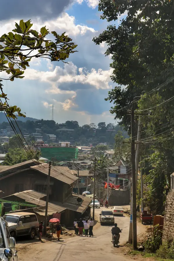
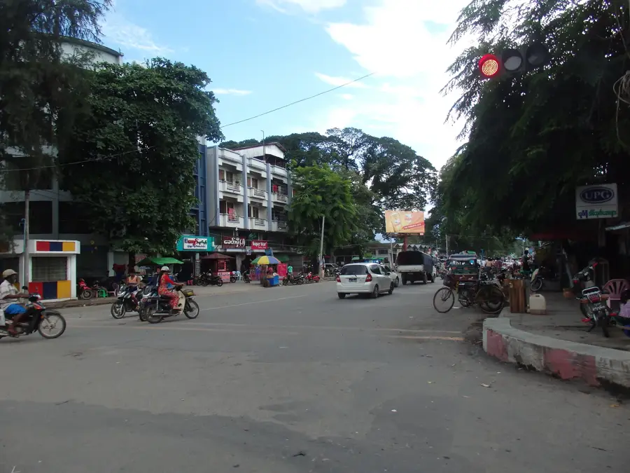
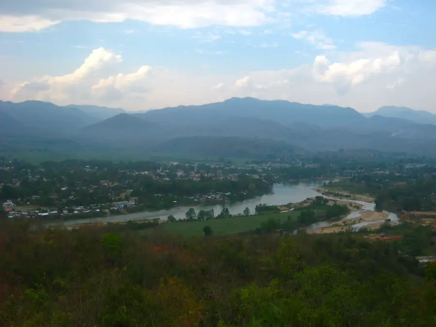
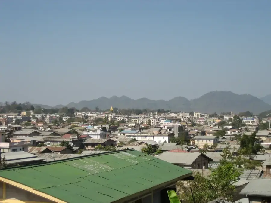
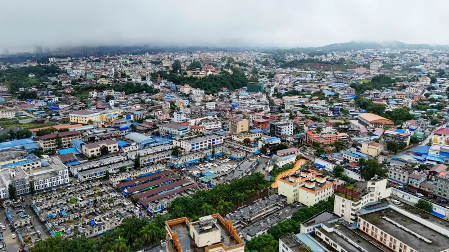
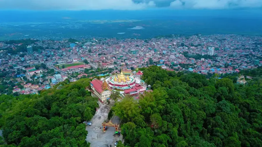
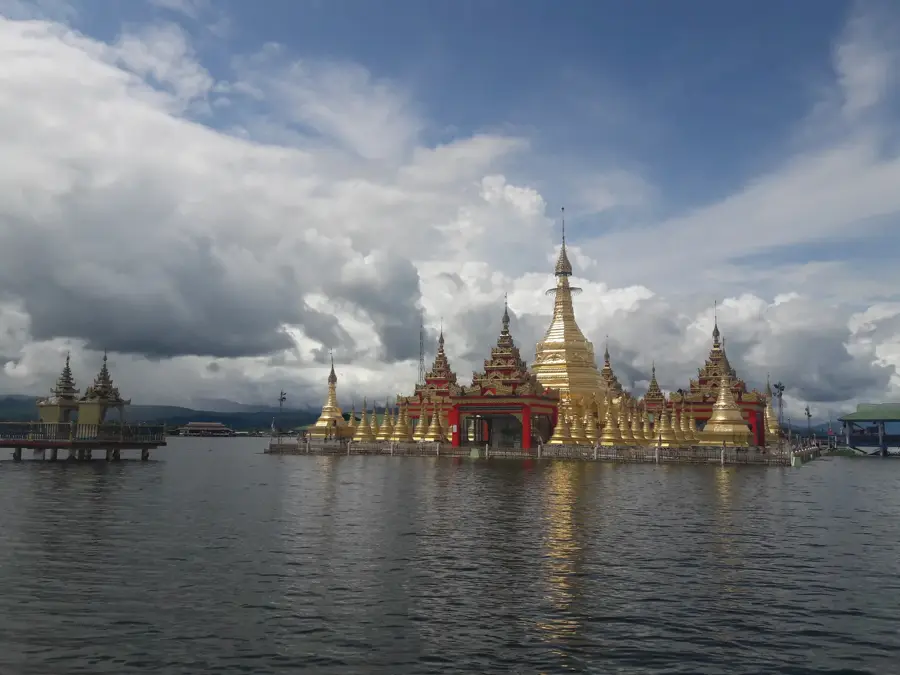
Myitkyina, the capital of Kachin State, is the northernmost major city in Myanmar and a critical strategic outpost near the Chinese border. Its name, meaning 'near the big river' in Burmese, accurately describes its location on the western bank of the Irrawaddy River. Situated just 40 kilometers south of Myitsone, the confluence of the Mali and N'mai rivers that gives birth to the Irrawaddy, Myitkyina is deeply tied to the geography and mythology of Myanmar’s greatest waterway. The city is world-renowned as the premier trading hub for high-quality jade, sourced from the legendary mines of Hpakant located to the west. Myitkyina's history is notably defined by its role in World War II; it was a key objective on the Stilwell Road (Ledo Road) and the site of a brutal, protracted siege in 1944 where Allied forces, including the Chindits and Merrill’s Marauders, fought to wrest control from the Japanese. Today, it serves as the northern terminus of the national railway line from Yangon, making it a vital logistics and trade center for northern Myanmar. The demographic makeup of Myitkyina is remarkably diverse, featuring a significant population of Kachin people alongside Bamar, Shan, Chinese, and Indian communities. Unlike much of Myanmar, there is a strong Christian presence here, evidenced by numerous Baptist and Catholic churches that dot the landscape alongside traditional pagodas. The Kachin Manau Festival is the city's premier cultural event, held at the Manau Park where towering, brightly painted poles serve as the centerpiece for massive communal dances. Economically, the city thrives on the trade of jade, timber, and gold, as well as its growing role as a commercial link to Yunnan Province in China. The climate is notably cooler and more pleasant than in central Myanmar, with the nearby mountains providing a scenic backdrop. Myitkyina remains a spirited frontier city, blending the ruggedness of a mining hub with the rich, colorful traditions of the Kachin highlands, standing as a gateway to the untamed wilderness of the Far North.
- Location: Myanmar (Burma)
- Top sights: Kachin State Cultural Museum · သားသံုးေယာက္အဝိုင္းပတ္ · Kachin Consultative Assembly
- Nearby: Putao (28 km)
- Population: ~90.894 (2026)
Best time to visit & climate
The most pleasant time to visit is Feb, Nov, Dec.
| Jan | Feb | Mar | Apr | May | Jun | Jul | Aug | Sep | Oct | Nov | Dec | |
|---|---|---|---|---|---|---|---|---|---|---|---|---|
| Avg °C | 17 | 20 | 24 | 27 | 28 | 28 | 27 | 27 | 27 | 25 | 21 | 18 |
| Rain mm | 16 | 9 | 19 | 42 | 71 | 148 | 164 | 140 | 92 | 64 | 10 | 8 |
Geography
Facts
- Capital of Kachin State and the northernmost railhead in Myanmar.
- Located on the Irrawaddy River, 40 km below the Myitsone confluence.
- Global hub for the jadeite trade, sourced from Hpakant mines.
- Site of a major Allied-Japanese battle during World War II.
- Known for its distinct Christian heritage within a Buddhist nation.
- Home to the iconic Manau Park and its colorful ceremonial poles.
- Strategically located on the historical Stilwell (Ledo) Road.
- The climate is significantly cooler than central Myanmar plains.
Explore nearby
Notable places around
Route planner — Car & Motorhome
Where do you start? We build the route here, with stops and country notes along the way.
© OpenStreetMap contributors · OpenRouteService
Sights in the town Myitkyina (13)
Frequently asked questions
Where is Myitkyina?
Is the city safe?
When is the best time to visit?
How to get there?
Are there any sights?
Myitkyina: where is it located?
Myitkyina: what is there to see?
Myitkyina: when is the best time to visit?
Myitkyina: why is it worth visiting?

Nearby cities
Nature
More places