Plizio Visual Lab
Inle Lake
Weather…
Water temperature…
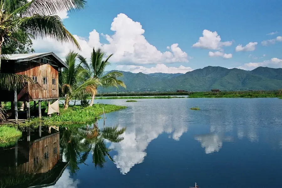
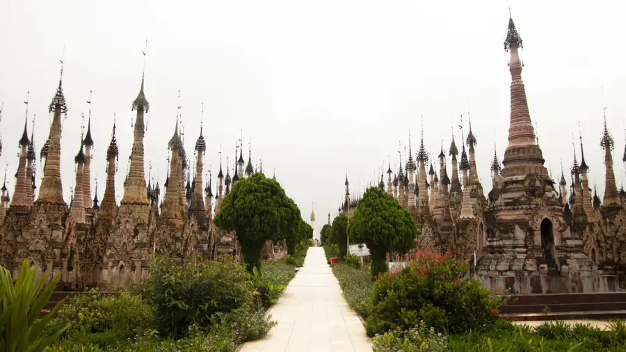
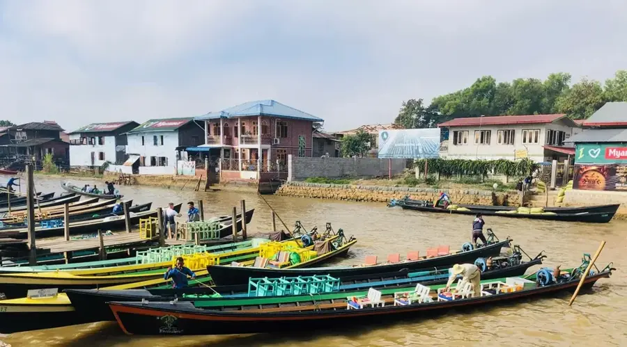
Inle Lake, positioned in the Shan Hills, is one of Myanmar's most captivating natural wonders and a designated UNESCO Biosphere Reserve. Situated at an elevation of nearly 900 meters, it is famous for its unique 'floating gardens' where local farmers cultivate tomatoes and other crops on artificial islands made of silt and aquatic weeds. The lake's inhabitants, the Intha people, are renowned for their distinctive leg-rowing technique, which allows them to navigate the waters while keeping their hands free to operate traditional conical fishing nets. The lake is dotted with stilt-house villages, artisan workshops, and ancient pagodas, all of which are accessible only by long-tail boat. The most significant religious site is the Phaung Daw Oo Pagoda, which houses five sacred Buddha images central to local devotion. Despite its beauty, the lake faces environmental pressures from sedimentation, deforestation, and chemical runoff from agriculture. Conservation initiatives are actively working to restore water quality and preserve the delicate balance between the local community and the environment. Visiting Inle Lake has a profound insight into a traditional way of life that remains intimately connected to the rhythms of the water.
- Location: Myanmar (Burma)
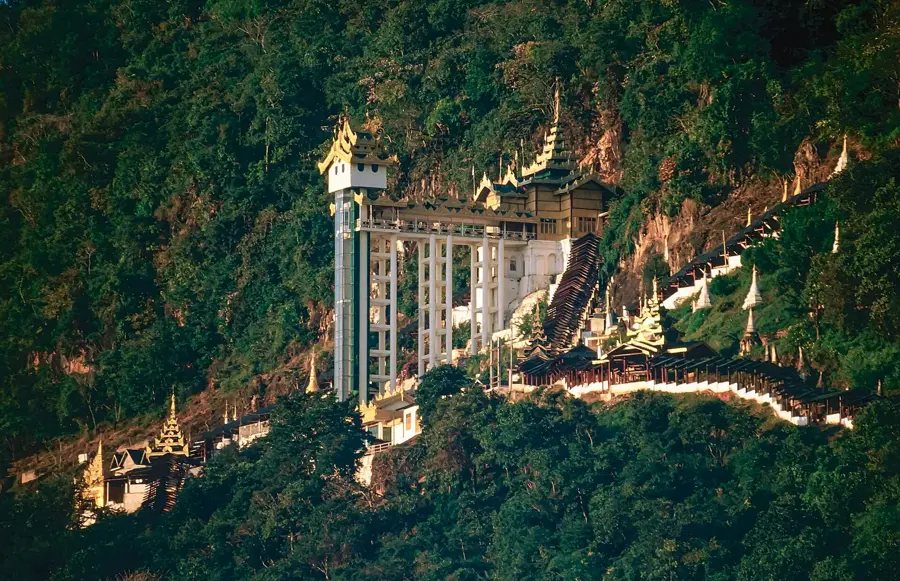
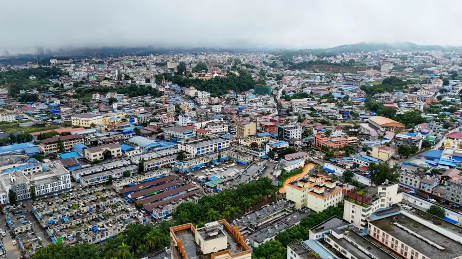
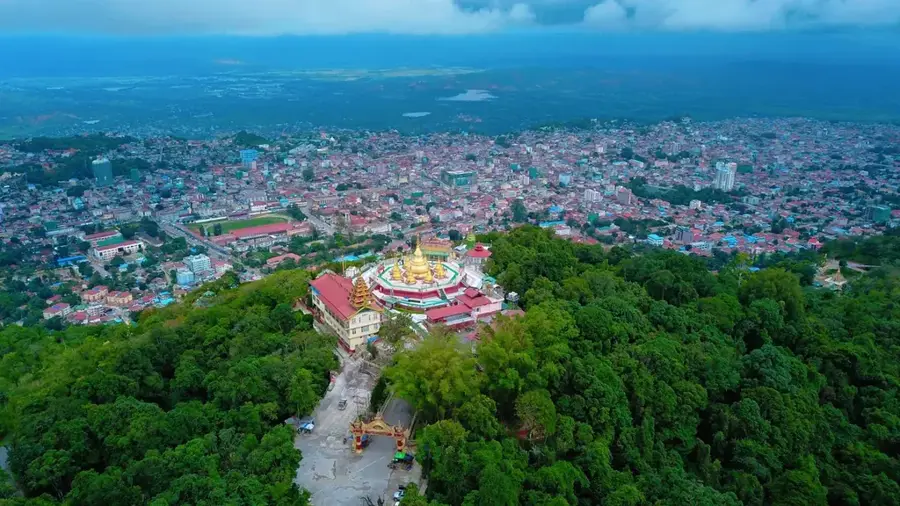
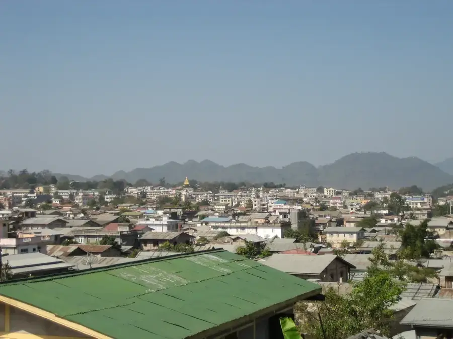
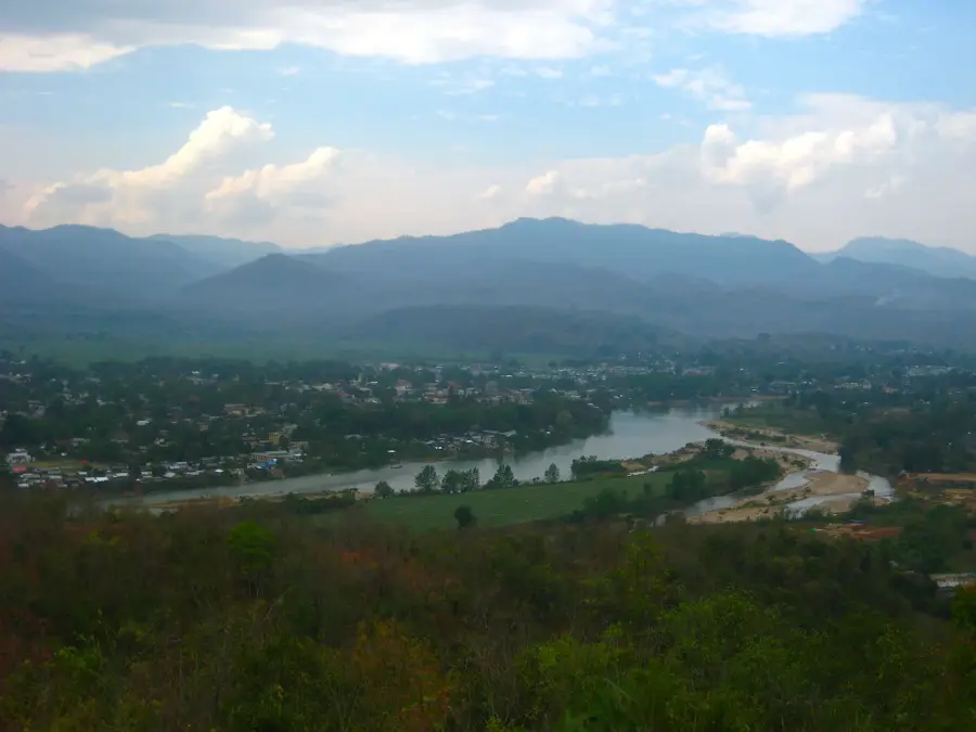
- Top sights: maing thauk bridge · Monastery Mam Thouk Forest · Pagoda
- Nearby: Inle Lake (6 km)
Best time to visit & climate
The most pleasant time to visit is Feb, Mar, Nov.
| Jan | Feb | Mar | Apr | May | Jun | Jul | Aug | Sep | Oct | Nov | Dec | |
|---|---|---|---|---|---|---|---|---|---|---|---|---|
| Avg °C | 17 | 19 | 22 | 25 | 24 | 23 | 23 | 22 | 23 | 22 | 20 | 18 |
| Rain mm | 11 | 2 | 7 | 24 | 87 | 89 | 120 | 130 | 90 | 83 | 20 | 8 |
📋 Practical info
Geography
Facts
- Inle Lake is situated at an elevation of 880 meters (2,900 feet).
- It was designated as Myanmar's first UNESCO Biosphere Reserve in 2015.
- Local Intha fishermen are famous for their unique leg-rowing method.
- Floating gardens cover approximately 25% of the lake's total surface area.
- The lake is home to more than 20 species of endemic fish.
- The Hpaung Daw U Festival in October is the lake's largest annual event.
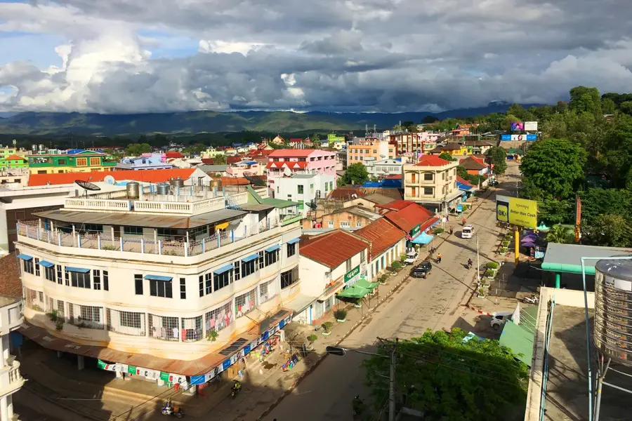
Explore nearby
Notable places around
Route planner — Car & Motorhome
Where do you start? We build the route here, with stops and country notes along the way.
© OpenStreetMap contributors · OpenRouteService
Sights in the town Inle Lake (3)
Sights nearby
Frequently asked questions
What makes Inle Lake so special?
How is the best way to explore Inle Lake?
What is the weather like at Inle Lake?
Can one stay overnight there?
What should one bring on a boat tour?
Inle Lake: where is it located?
Inle Lake: what is there to see?
Inle Lake: when is the best time to visit?
Inle Lake: why is it worth visiting?

Nearby cities
History & landmarks
Nature
More places