Plizio Visual Lab
Mae Sai
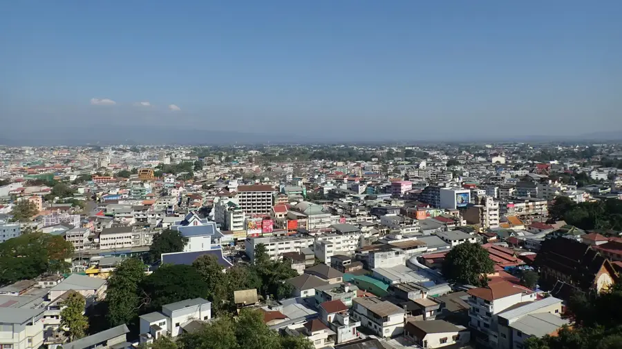
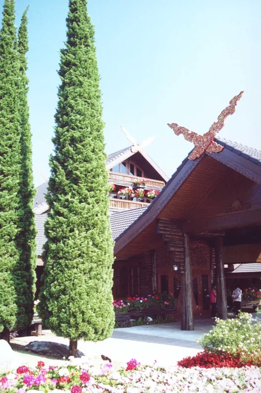
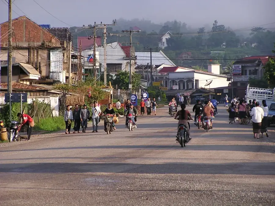
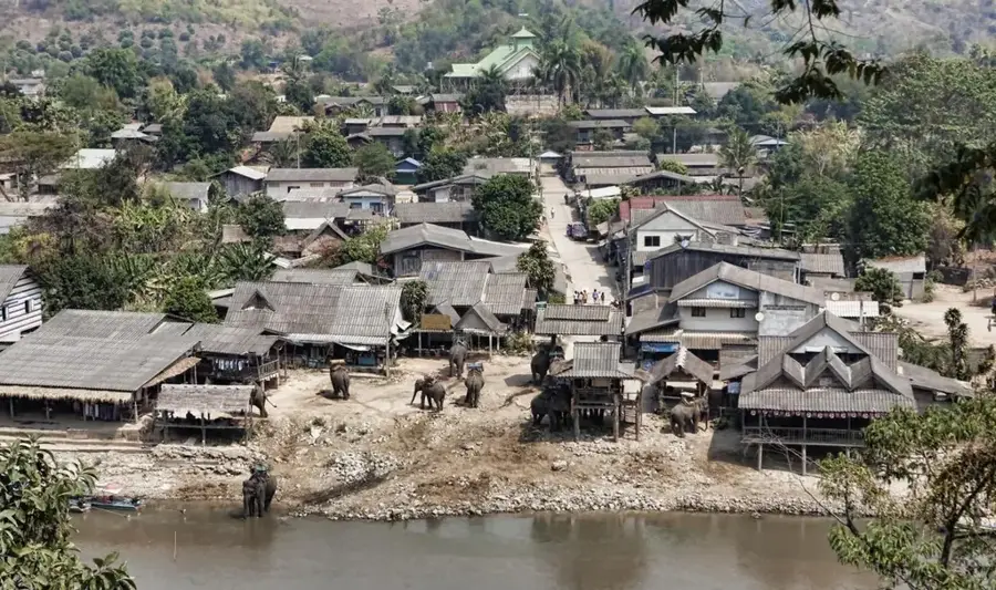
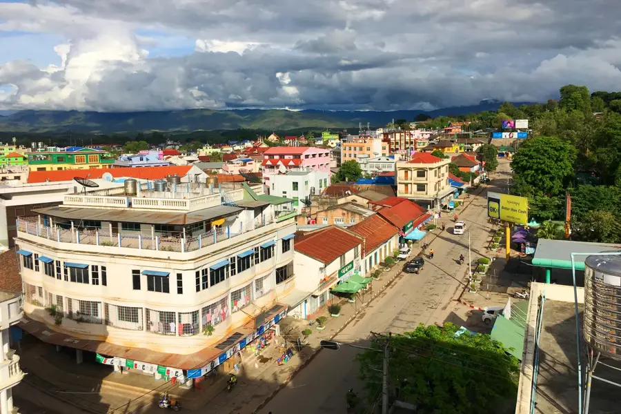
Mae Sai is Thailand's northernmost town, sitting directly on the border with Myanmar, separated only by the Mae Sai River. The town is a buzzing commercial hub, where the sprawling border market is the main attraction, offering everything from local handicrafts and gemstones to goods from China and Myanmar. A key landmark is Wat Phra That Doi Wao, also known as the 'Scorpion Temple,' which sits on a hill and provides a commanding view across the border into Myanmar. The local food scene is a fascinating mix of Thai, Burmese, and Yunnanese Chinese influences. Visitors should try the unique northern noodle dishes and sample the high-quality coffee and tea grown in the nearby mountains. Mae Sai serves as an excellent base for exploring the Golden Triangle, the point where Thailand, Laos, and Myanmar meet, as well as the beautiful botanical gardens of Doi Tung. The town is roughly a one-hour drive or bus ride from Chiang Rai. Mae Sai is often used as a starting point for brief excursions across the bridge into the town of Tachileik in Myanmar. The best time to visit is from November to February, when the weather is dry and the mountain air is refreshingly cool. It is a place of cultural exchange that captures the rugged beauty of Thailand's northern frontier.
- Location: Thailand
- Top sights: Myanmar Toenaya Field · Northernmost point in Thailand sign · Skywalk - 50B entry
- Nearby: Chiang Rai (11 km)
- Population: ~27.520 (2023)
Best time to visit & climate
The most pleasant time to visit is Jan, Feb, Nov.
| Jan | Feb | Mar | Apr | May | Jun | Jul | Aug | Sep | Oct | Nov | Dec | |
|---|---|---|---|---|---|---|---|---|---|---|---|---|
| Avg °C | 18 | 21 | 24 | 27 | 27 | 26 | 25 | 25 | 25 | 23 | 21 | 18 |
| Rain mm | 20 | 5 | 22 | 58 | 144 | 123 | 225 | 251 | 170 | 87 | 32 | 15 |
Live webcam – Mae Sai
See what it looks like near Mae Sai right now.
Mae Sai · 2.2 km · Open webcam on Windy · Webcams provided by Windy.com
Geography
Facts
- Northernmost town in Thailand
- Border crossing to Myanmar
- Massive border market
- Center for gemstone trade
- Wat Phra That Doi Wao
- Gateway to Golden Triangle
- Overlooks Tachileik, Myanmar
- Cultural crossroads
Explore nearby
Notable places around
Route planner — Car & Motorhome
Where do you start? We build the route here, with stops and country notes along the way.
© OpenStreetMap contributors · OpenRouteService
Begin your morning at the bustling northern border, stepping up to the iconic marker that defines Thailand's edge. Midday takes you up the slopes of Doi Wao, where hilltop temples and transparent skywalks offer breathtaking dual-country panoramas. In the afternoon, discover the serene meditation caves of Tham Pha Chom alongside the gentle river. Conclude your evening at local shrines, reflecting on the harmonious blend of Thai and Burmese cultures.
Northernmost point in Thailand sign
Wat Phra That Doi Wao
Skywalk (50B entry)
Scorpion Mountain (Doi Wao)
Tham Pha Chom Temple
Chao Por Tham Kob Shrine
Morning starts with a misty drizzle at the border; the northernmost sign looks atmospheric. At noon, seek shelter under the ornate roofs of Doi Wao temple as the tropical rain intensifies. In the afternoon, the Skywalk offers dramatic views of clouds over Myanmar, but watch your step on the wet glass. Evening ends at the cave temple, where the limestone walls provide a natural, dry sanctuary.
Northernmost point in Thailand sign
Wat Phra That Doi Wao
Skywalk (50B entry)
Scorpion Mountain (Doi Wao)
Tham Pha Chom Temple
Chao Por Tham Kob Shrine
A crisp morning breeze greets you at the border; layering is essential for the chilly start. By noon, the winter sun is mild, making the temple stairs a pleasant climb without the heat. Afternoon views from the Skywalk are crystal clear thanks to the low humidity. After an early sunset at 17:00, the temperature drops quickly around the scorpion statue.
Northernmost point in Thailand sign
Wat Phra That Doi Wao
Skywalk (50B entry)
Scorpion Mountain (Doi Wao)
Tham Pha Chom Temple
Chao Por Tham Kob Shrine
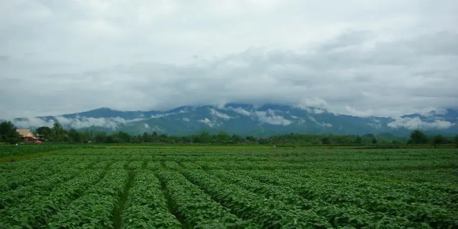
Pedal out in the morning to uncover the spiritual spots near the border, beginning with colorful community shrines. By midday, your ride takes you past vibrant temples towards the lush gardens of the Tea Oil Development Center for a refreshing break. The afternoon shifts focus to ancient stupas hidden amidst the greenery on the town's quieter outskirts. Your evening winds down as you cycle back, enjoying the cooling breeze and majestic monument views.
Chao Por Tham Kob Shrine
Mueang Daeng Temple
Tea Oil and Plant Oils Development Center
Pha Teak Temple Chedi
Big stupa
Cycling through the puddles of Mae Sai requires extra focus on slippery roads this morning. Midday offers a chance to dry off at the Tea Oil Center while watching the rain from the veranda. Afternoon temple visits are refreshing, though the grey skies make the white chedis stand out. Evening returns are best done before the heaviest downpours.
Chao Por Tham Kob Shrine
Mueang Daeng Temple
Tea Oil and Plant Oils Development Center
Pha Teak Temple Chedi
Big stupa
The cool morning air is perfect for cycling towards the hills, but gloves might be needed early on. Noon brings golden sunlight that warms the temple grounds without the summer's intensity. In the afternoon, enjoy the scenic paths through the tea gardens. Return before the evening chill and darkness settle in.
Chao Por Tham Kob Shrine
Mueang Daeng Temple
Tea Oil and Plant Oils Development Center
Pha Teak Temple Chedi
Big stupa
Drive to the edge of the nation this morning, snapping photos at the border sign before crossing into a world of shared heritage. Midday finds you across the line in Myanmar, marveling at the towering golden stupas and intricately carved monasteries on the hills. Spend your afternoon observing local monastic life and exploring vast historical fields where communities gather. Evening approaches as you head back towards the Thai side, enriched by the cross-cultural adventure.
Northernmost point in Thailand sign
Tachileik Shwedagon Pagoda
NgweTaungOo Monastery
PongHtoon High School
Myanmar Toenaya Field
The car provides a comfortable dry base as we navigate the rainy border area and cross into Tachileik. Midday visits to the Myanmar pagodas are easy with short walks from the parking spots between showers. Afternoon drives pass through lush, rain-soaked landscapes. Evening concludes with a smooth drive back, staying dry and cool.
Northernmost point in Thailand sign
Tachileik Shwedagon Pagoda
NgweTaungOo Monastery
PongHtoon High School
Myanmar Toenaya Field
Enjoy a scenic winter drive with the windows down, feeling the refreshing breeze from the mountains. Midday visits to the Burmese temples are pleasant in the soft sunlight, perfect for clear photography. Afternoon light over the fields is golden and long. Finish your outdoor stops by 17:00 to avoid the cool night air.
Northernmost point in Thailand sign
Tachileik Shwedagon Pagoda
NgweTaungOo Monastery
PongHtoon High School
Myanmar Toenaya Field
Sights in the town Mae Sai (8)
Frequently asked questions
Mae Sai: where is it located?
Mae Sai: what is there to see?
Mae Sai: when is the best time to visit?
Mae Sai: why is it worth visiting?

Nearby cities
History & landmarks
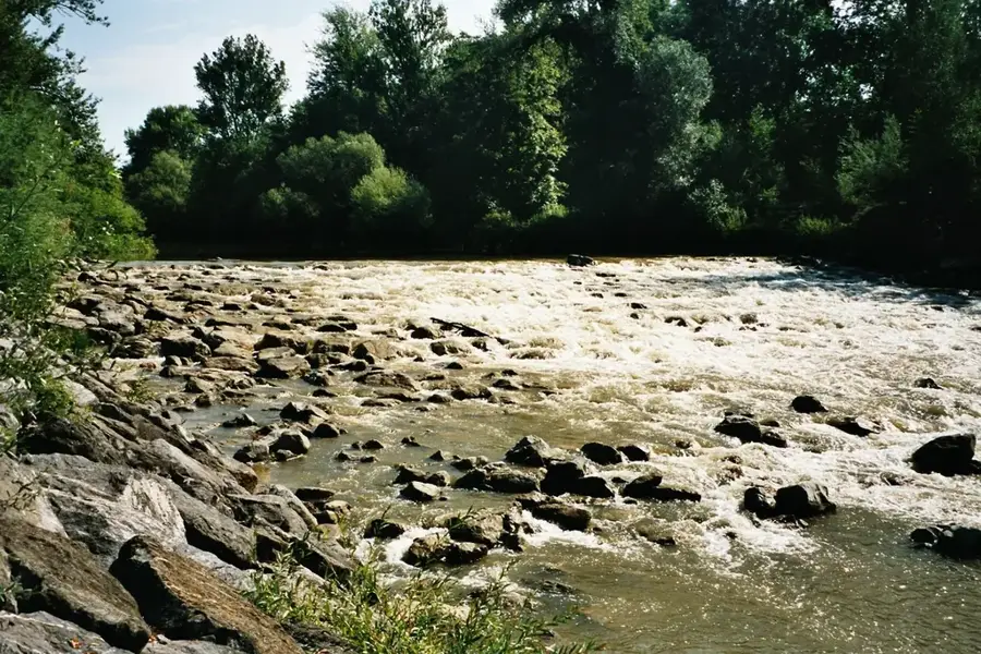
Nature
More places