Plizio Visual Lab
Doi Pha Hom Pok
Weather…
Water temperature…
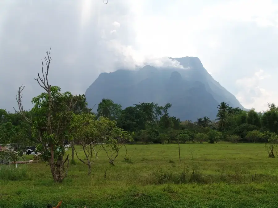
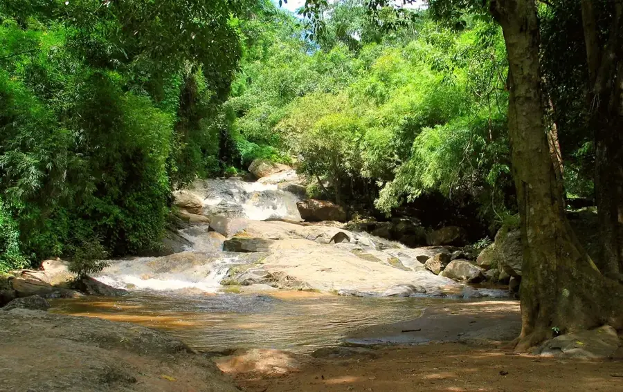
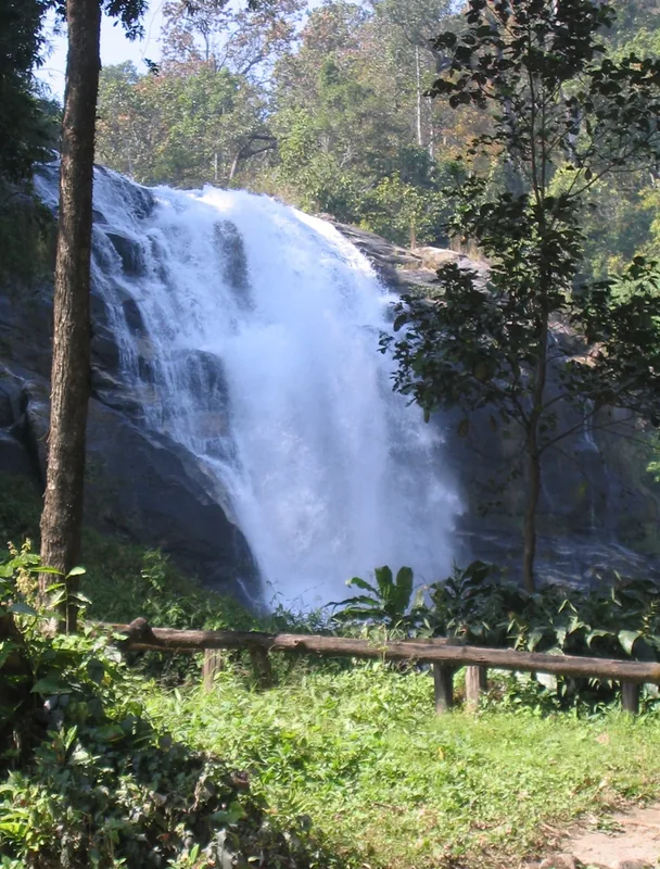
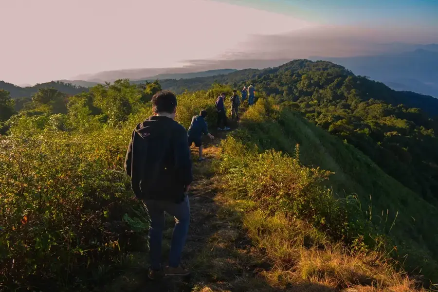
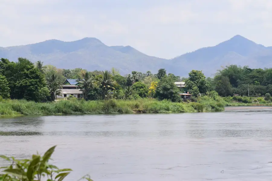
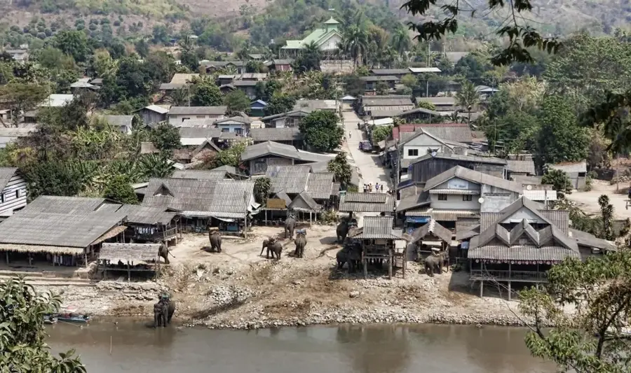
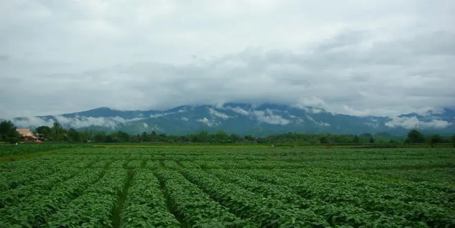
Doi Pha Hom Pok, standing at 2,285 meters, is the second highest peak in Thailand, located in the Daen Lao Range along the border with Myanmar. It is part of the eponymous national park in the Fang District of Chiang Mai Province. Geologically, the massif consists primarily of granite, which accounts for its rugged silhouette and steep slopes. The name translates to 'mountain covered by a blanket,' referring to the frequent mist and low-hanging clouds that shroud the summit. Due to its high altitude, the climate is significantly cooler than in the Thai lowlands, supporting a unique alpine flora and fauna, including rare orchid species and endemic butterflies. At the base of the mountain lie the famous Fang Hot Springs, evidence of the region's geothermal activity. The trek to the summit provides spectacular panoramic views across the border region and is a favored destination for hikers seeking to experience the untouched wilderness of northern Thailand.
- Location: Thailand
- Top sights: Doi San Ju · San Chu View Point · Doi Pa Kha
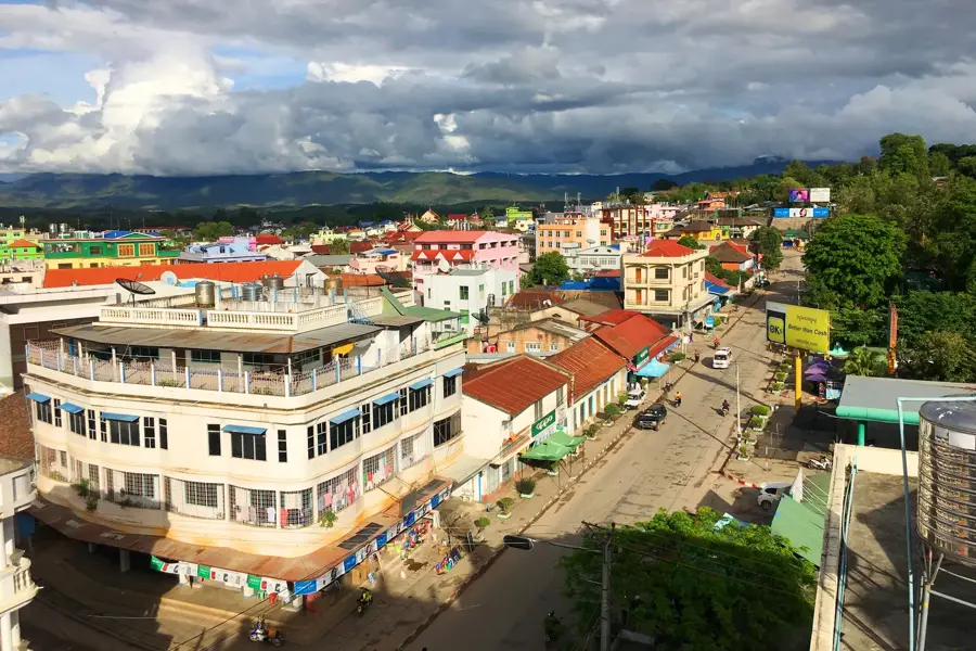
- Nearby: Chiang Mai (29 km)
Best time to visit & climate
The most pleasant time to visit is Feb, Mar, Nov.
| Jan | Feb | Mar | Apr | May | Jun | Jul | Aug | Sep | Oct | Nov | Dec | |
|---|---|---|---|---|---|---|---|---|---|---|---|---|
| Avg °C | 18 | 20 | 23 | 26 | 25 | 24 | 23 | 23 | 23 | 22 | 20 | 17 |
| Rain mm | 18 | 5 | 22 | 69 | 193 | 157 | 244 | 282 | 225 | 114 | 37 | 15 |
📋 Practical info
Geography
Facts
- Doi Pha Hom Pok reaches an elevation of 2,285 meters above sea level.
- The mountain is a prominent part of the Daen Lao Range.
- Temperatures at the summit can drop to 0 degrees Celsius in winter.
- There are over 50 individual hot springs in the nearby Fang basin.
- The area was officially designated as a national park in the year 2000.
- The rare Kaiser-i-Hind butterfly can be found in this high-altitude habitat.
Explore nearby
Notable places around
Route planner — Car & Motorhome
Where do you start? We build the route here, with stops and country notes along the way.
© OpenStreetMap contributors · OpenRouteService
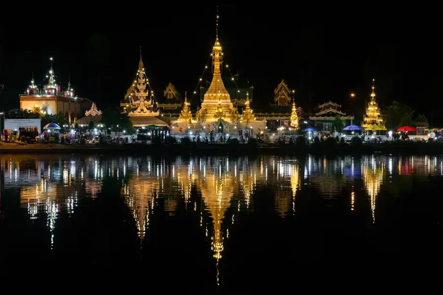
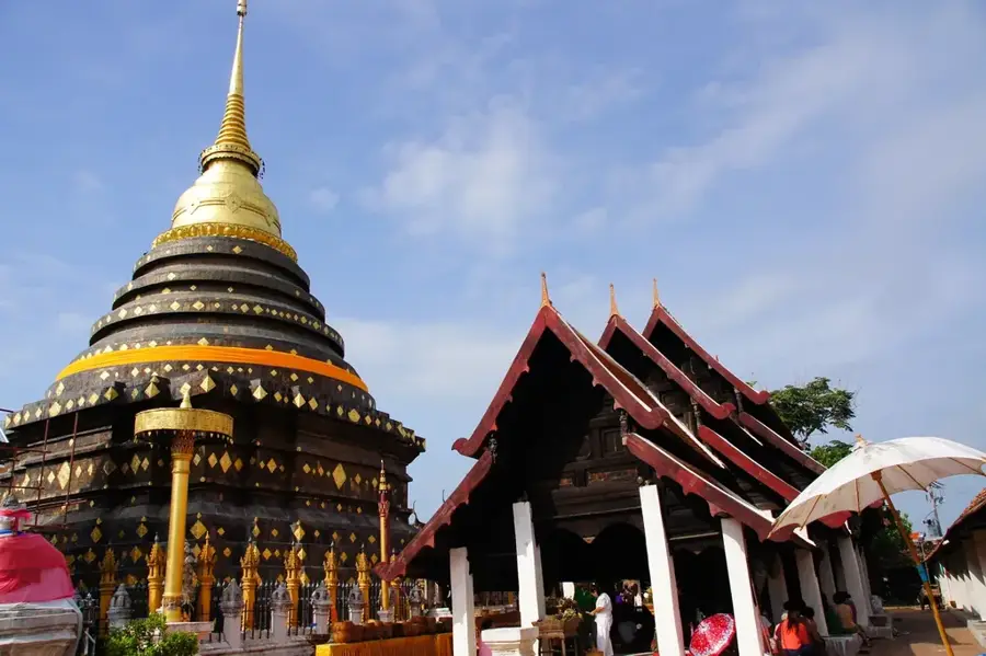
Sights in the town Doi Pha Hom Pok (4)
Sights nearby
Frequently asked questions
When is the best time for Doi Pha Hom Pok?
Are there campsites there?
How is the temperature at the summit?
Do you need to be fit for the climb?
What clothes should I pack?
Doi Pha Hom Pok: where is it located?
Doi Pha Hom Pok: what is there to see?
Doi Pha Hom Pok: when is the best time to visit?
Doi Pha Hom Pok: why is it worth visiting?

Nearby cities
History & landmarks
Nature
More places