Plizio Visual Lab
Patkai Range
Weather…
Water temperature…
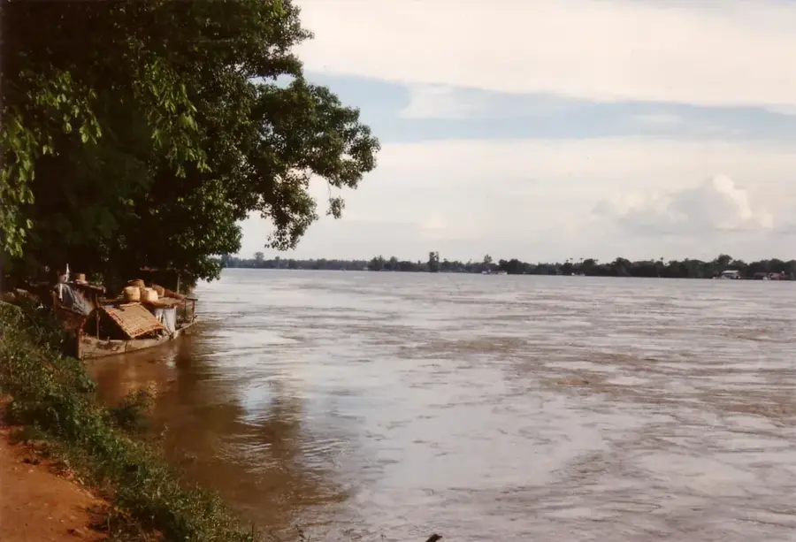
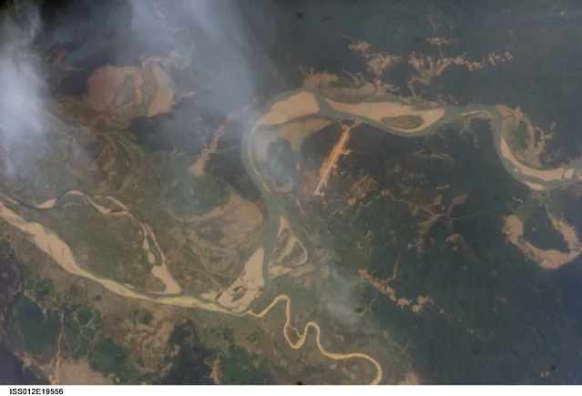
The Patkai Range forms a natural boundary between India and Myanmar in the northeastern part of the Indian subcontinent. It was created by the same tectonic processes that formed the Himalayas and comprises three main hills: the Patkai-Bum, the Garo-Khasi-Jaintia, and the Lushai Hills. The peaks reach elevations of up to 3,826 meters, with Mount Saramati being the highest point in the region. Geographically, the slopes are covered with dense subtropical and alpine forests, providing an enormous variety of flora and fauna. During World War II, the region gained strategic importance through the construction of the Ledo Road, which served as a vital supply route for the Allies into China. The inhabitants of the range belong to various ethnic groups, such as the Naga and Kachin peoples, whose cultures are deeply rooted in the mountainous environment. Today, the area is known for its scenic beauty but remains largely underdeveloped due to its remote location and rugged terrain.
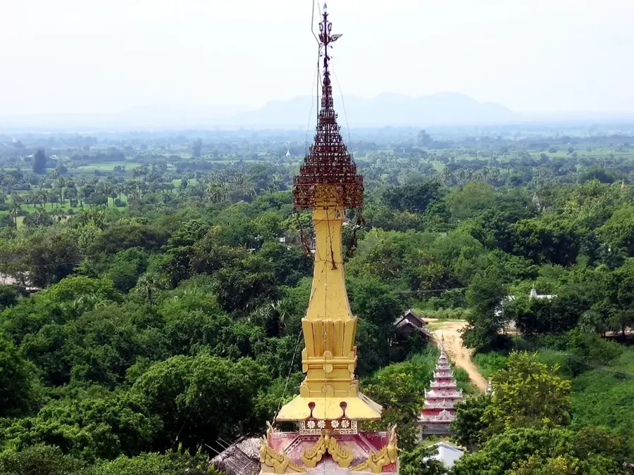
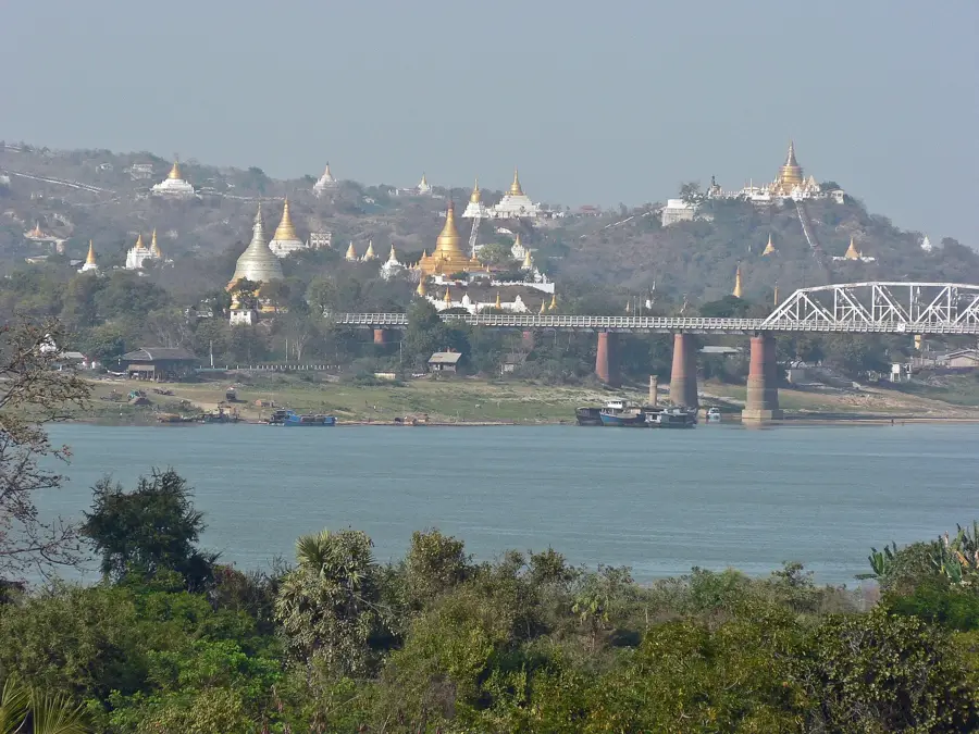
- Location: Myanmar (Burma)
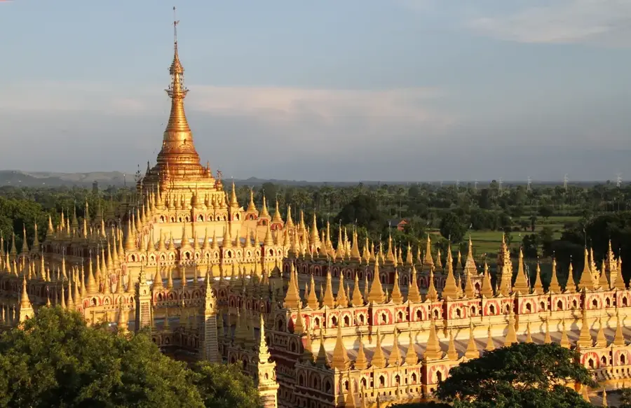
- Nearby: Pyin Oo Lwin (79 km)
Best time to visit & climate
The most pleasant time to visit is Mar, Oct, Nov.
| Jan | Feb | Mar | Apr | May | Jun | Jul | Aug | Sep | Oct | Nov | Dec | |
|---|---|---|---|---|---|---|---|---|---|---|---|---|
| Avg °C | 13 | 15 | 18 | 21 | 23 | 24 | 24 | 25 | 23 | 21 | 17 | 14 |
| Rain mm | 16 | 34 | 75 | 160 | 213 | 270 | 316 | 257 | 213 | 88 | 16 | 7 |
📋 Practical info
Geography
Facts
- The highest peak of the Patkai Range is Mount Saramati at 3,826 meters.
- The range was formed during the Tertiary period by the collision of the Indian plate.
- The famous Ledo Road was built through this area between 1942 and 1945.
- It includes significant conservation areas like the Namdapha National Park in India.
- The climate varies from humid subtropical to alpine at higher elevations.
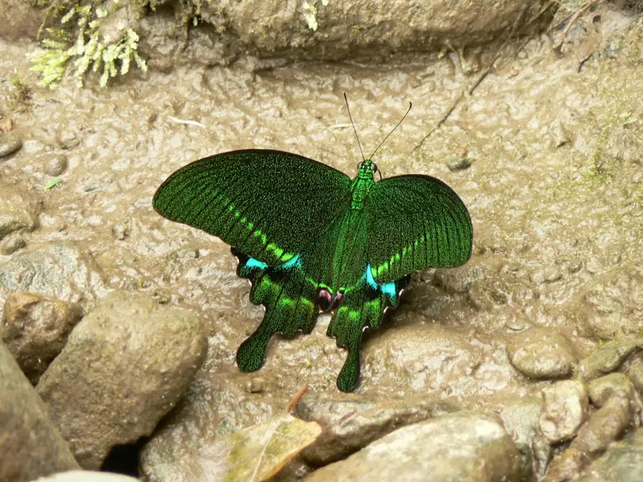
- The region is known for its rich orchid diversity, with over 500 recorded species.
Explore nearby
Notable places around
Route planner — Car & Motorhome
Where do you start? We build the route here, with stops and country notes along the way.
© OpenStreetMap contributors · OpenRouteService
Sights in the town Patkai Range (1)
Sights nearby
Frequently asked questions
Are the Patkai mountains accessible to tourists?
Are there marked hiking trails there?
What is the best time to travel?
Is special equipment needed?
Is the area family friendly?
Patkai Range: where is it located?
Patkai Range: when is the best time to visit?
Patkai Range: why is it worth visiting?

Nearby cities
History & landmarks
Nature
More places