Plizio Visual Lab
Chindwin Valley
Weather…
Water temperature…
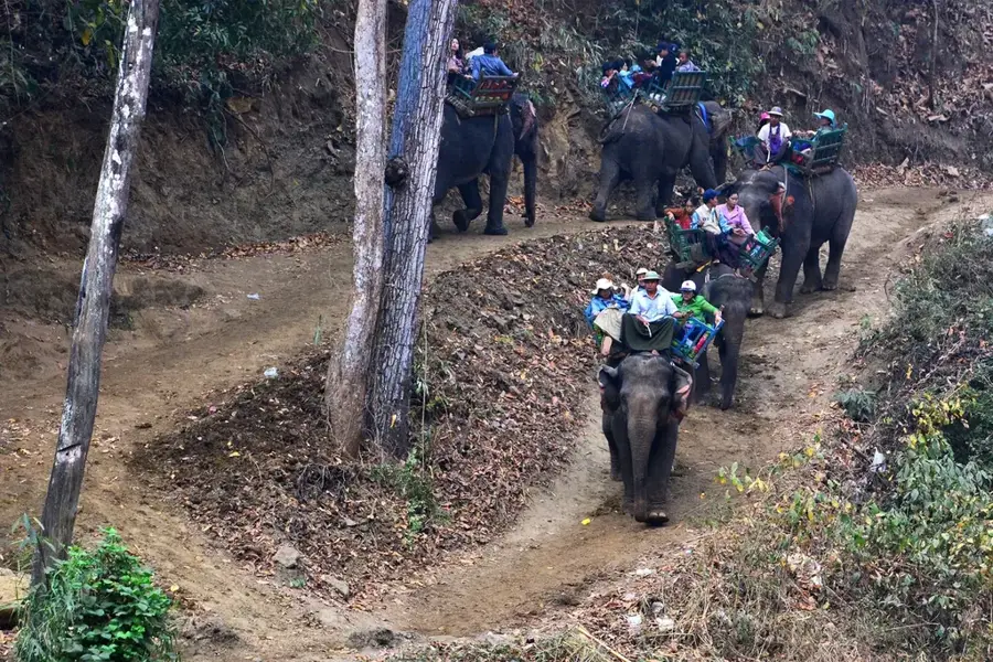
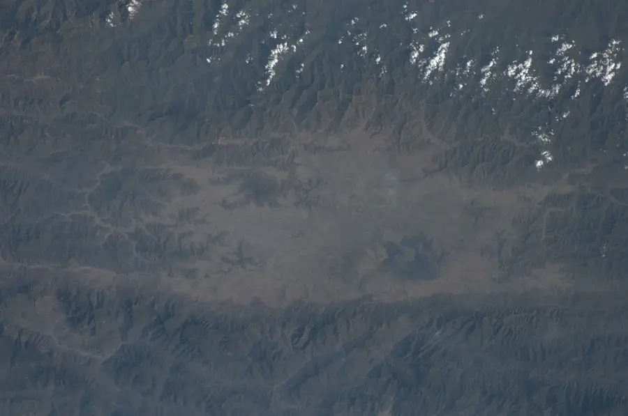
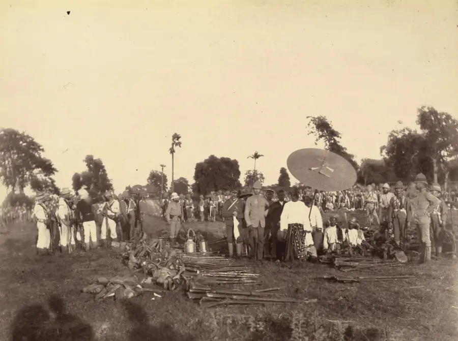
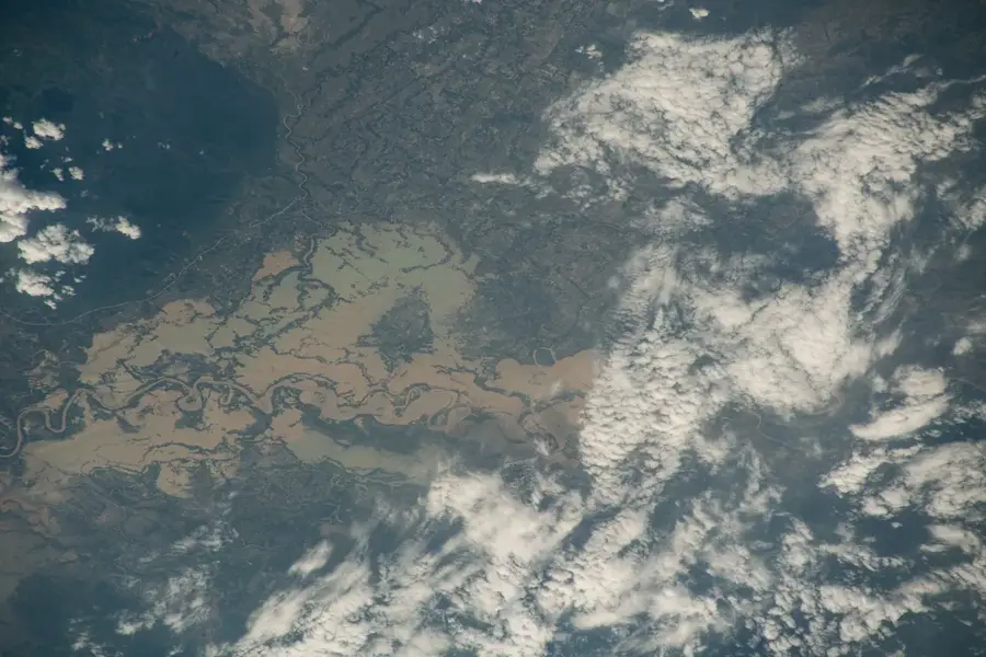
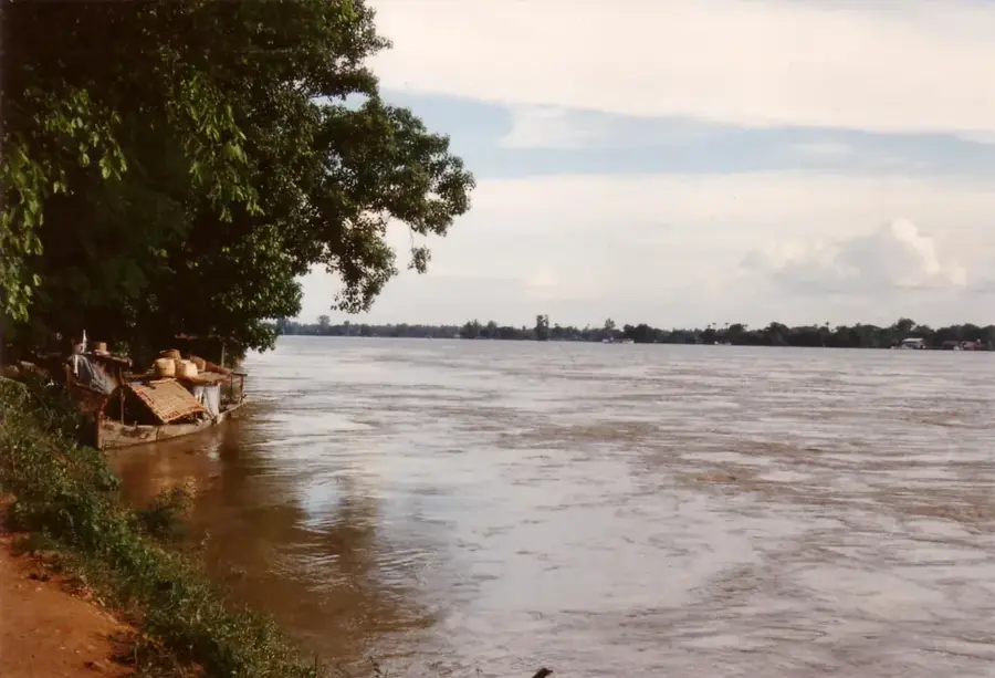
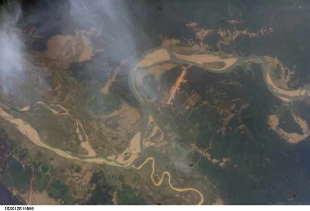
The Chindwin Valley extends through northwestern Myanmar along the Chindwin River, the largest tributary of the Irrawaddy. The valley is characterized by a wild, often pristine landscape bounded by dense forests and rugged mountain ranges to the west. Economically, the region is of immense importance for the extraction of natural resources, including teak, coal, gold, and amber. The river itself serves as a vital transport artery for moving goods and people to the remote areas of the northwest. Historically, the valley was a strategically significant point for military movements between India and Myanmar, particularly during the Burma Campaign of World War II. The cultural diversity of the valley is reflected in the various ethnic groups living here, such as the Naga and Shan peoples. Despite the rich deposits of raw materials, infrastructure in the Chindwin Valley remains rudimentary, making the region a destination for adventure travelers seeking authentic rural Myanmar. Annual monsoon rains frequently lead to severe flooding in the valley, which nonetheless renews the fertility of the agricultural lands.
- Location: Myanmar (Burma)
- Nearby: Thandwe (41 km)
Best time to visit & climate
The most pleasant time to visit is Jan, Feb, Dec.
| Jan | Feb | Mar | Apr | May | Jun | Jul | Aug | Sep | Oct | Nov | Dec | |
|---|---|---|---|---|---|---|---|---|---|---|---|---|
| Avg °C | 20 | 23 | 26 | 30 | 31 | 31 | 30 | 30 | 30 | 28 | 25 | 21 |
| Rain mm | 7 | 5 | 13 | 23 | 50 | 56 | 49 | 48 | 41 | 37 | 9 | 6 |
📋 Practical info
Geography
Facts
- The Chindwin River has a total length of approximately 1,200 kilometers.
- Homalin is a major trading post for gold and amber within the valley.
- Monywa is the largest city and a key industrial center on the lower Chindwin.
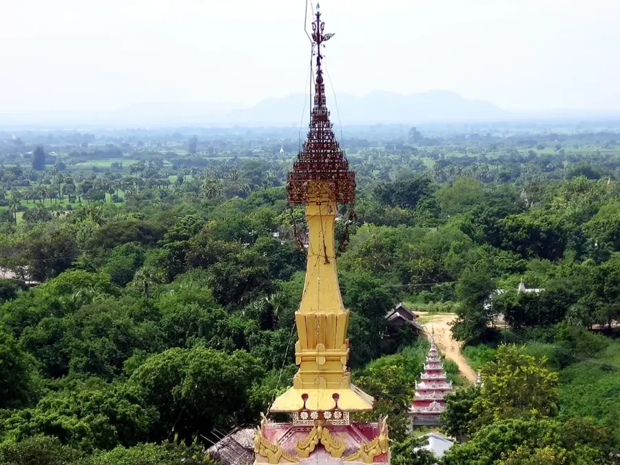
- The famous Pho Win Hills, featuring cave pagodas, are located near the Chindwin Valley.
- The valley is renowned for its high-quality teak timber reserves.
- During the rainy season, the river's water level often rises by over 15 meters.
Explore nearby
Notable places around
Route planner — Car & Motorhome
Where do you start? We build the route here, with stops and country notes along the way.
© OpenStreetMap contributors · OpenRouteService
Sights in the town Chindwin Valley (1)
Sights nearby
Frequently asked questions
What is the Chindwin River?
Is the valley easily accessible?
What can you experience in the valley?
Are there many tourists?
Is equipment important for the valley?
Chindwin Valley: where is it located?
Chindwin Valley: when is the best time to visit?
Chindwin Valley: why is it worth visiting?

Nearby cities
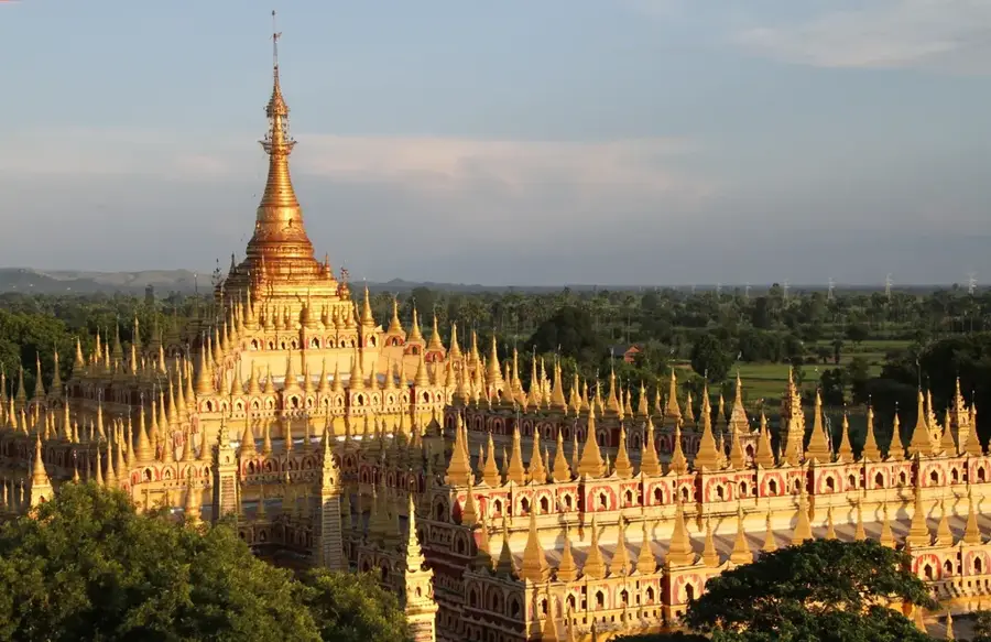
History & landmarks
Nature
More places