Plizio Visual Lab
Mount Saramati
Weather…
Water temperature…
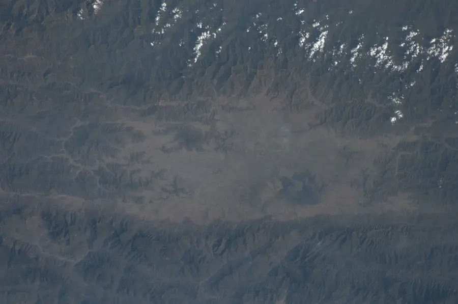
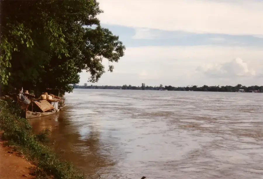
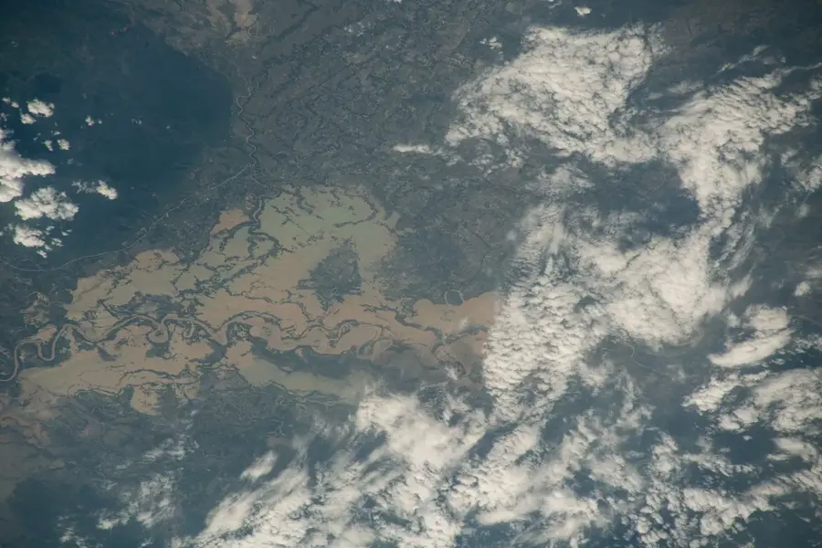
Mount Saramati, with an elevation of 3,826 meters, is the highest peak of the Indo-Burman Ranges, situated exactly on the border between the Indian state of Nagaland and the Sagaing Region of Myanmar. As an ultra-prominent summit, it dominates its entire surroundings and is often capped with snow during the winter months, a rarity in this part of Southeast Asia. Geologically, the massif consists of a mixture of ophiolites and sedimentary rocks, uplifted by the collision of the Indian plate. The slopes of Saramati are covered with an exceptionally rich flora, ranging from tropical forests to alpine vegetation, including numerous rhododendron species. For the local Naga tribes, particularly the Lhoura and Yimkhiung, the mountain is a sacred site, deeply rooted in their myths and legends. Despite its beauty, the mountain remains difficult to access due to political tensions and its remote location, making it something of a legend among mountaineers. It also serves as a major watershed between the drainage basins of the Brahmaputra and Chindwin rivers.
- Location: Myanmar (Burma)
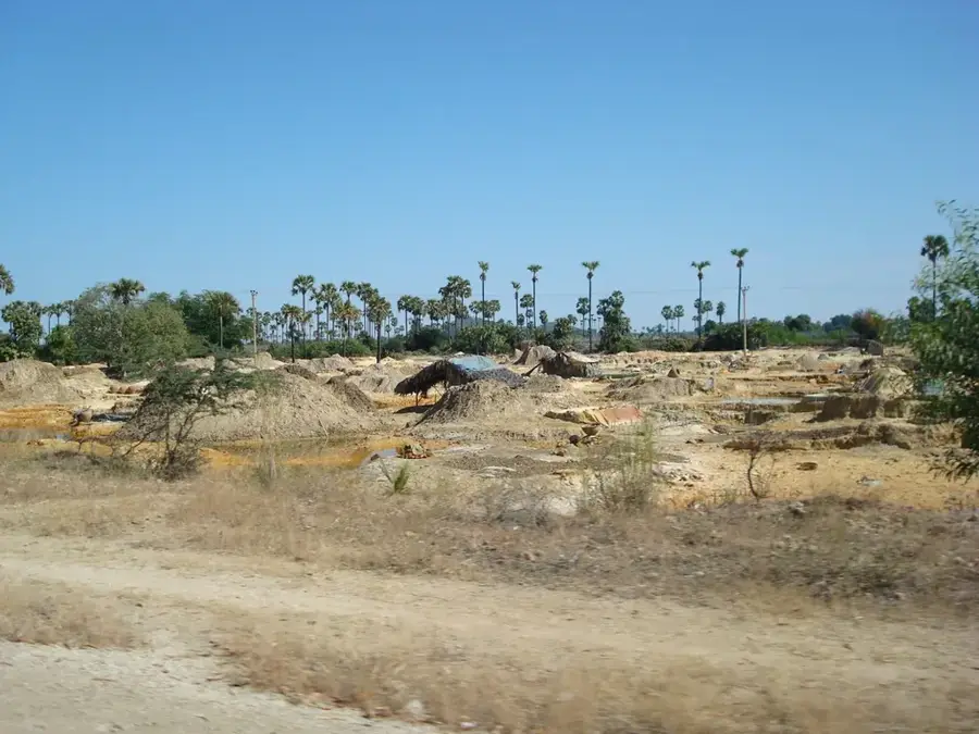
- Nearby: Monywa (38 km)
Best time to visit & climate
The most pleasant time to visit is Mar, Oct, Nov.
| Jan | Feb | Mar | Apr | May | Jun | Jul | Aug | Sep | Oct | Nov | Dec | |
|---|---|---|---|---|---|---|---|---|---|---|---|---|
| Avg °C | 14 | 16 | 19 | 22 | 24 | 25 | 25 | 25 | 24 | 22 | 18 | 15 |
| Rain mm | 9 | 15 | 42 | 90 | 141 | 189 | 216 | 179 | 139 | 83 | 15 | 9 |
📋 Practical info
Geography
Facts
- Mount Saramati is the highest point of both Nagaland and Sagaing.
- The mountain has a topographic prominence of 2,885 meters.
- Nearby Thanamir village is famous for its apple orchards.
- The first European ascent took place only in the 20th century.
- The massif is home to rare animal species like Blyth's tragopan.
- It marks the transition between the Himalayas and Southeast Asian mountains.
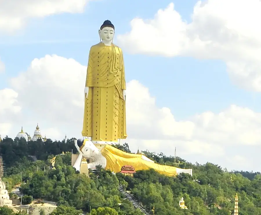
Explore nearby
Notable places around
Route planner — Car & Motorhome
Where do you start? We build the route here, with stops and country notes along the way.
© OpenStreetMap contributors · OpenRouteService
Sights in the town Mount Saramati (1)
Sights nearby
Frequently asked questions
How high is Mount Saramati?
Is a permit needed?
What is the difficulty of the ascent?
What is the best month for the ascent?
Are there accommodations on the mountain?
Mount Saramati: where is it located?
Mount Saramati: when is the best time to visit?
Mount Saramati: why is it worth visiting?

Nearby cities
History & landmarks
Nature
More places