Plizio Visual Lab
Mingin Taungdan

Weather…
Water temperature…
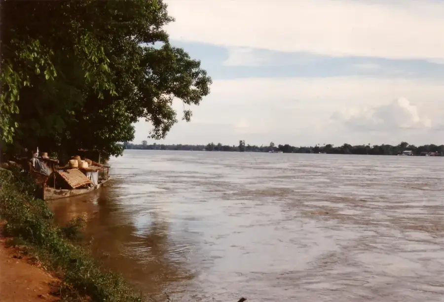
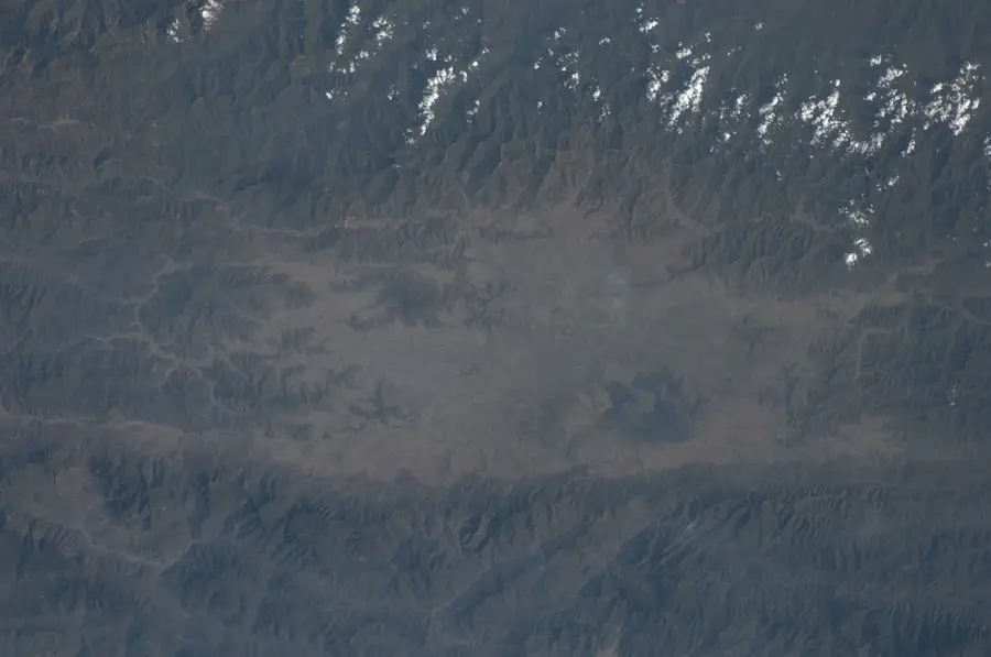
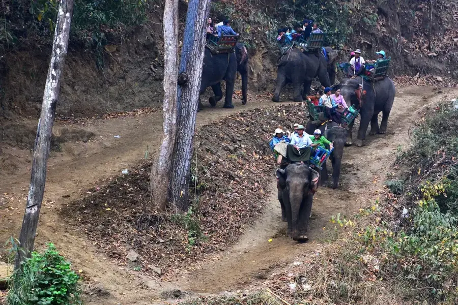
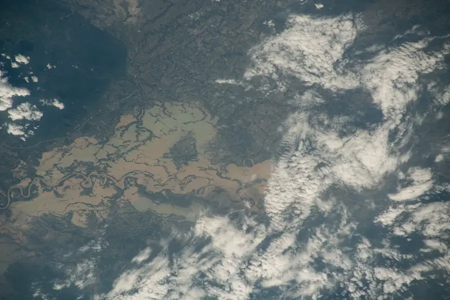
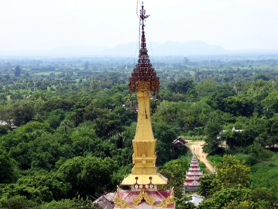
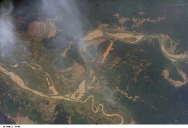
Mingin Taungdan is a forested mountain range in the Kale District of Myanmar's Sagaing Region, dominating the landscape north of the confluence of the Chindwin and Myittha rivers. The name is derived from the nearby town of Mingin, which was historically a significant trading post on the Chindwin River. The topography is characterized by steep ascents and deeply incised valleys, shaped by the region's heavy monsoon rains. Vegetation primarily consists of tropical deciduous forest, harboring a variety of wildlife, including endangered bird species and primates. Economically, the region is significant for logging and rice cultivation in the fertile alluvial soils at the mountains' base. Infrastructure is poorly developed in many parts of the range, which has contributed to the preservation of the natural environment while hindering transportation. Culturally, communities in the region are closely tied to Theravada Buddhism, reflected in numerous small pagodas atop the hills. Mingin Taungdan also plays a role in local water management, as its springs feed numerous streams.
- Location: Myanmar (Burma)
- Nearby: Thandwe (45 km)
Best time to visit & climate
The most pleasant time to visit is Jan, Feb, Dec.
| Jan | Feb | Mar | Apr | May | Jun | Jul | Aug | Sep | Oct | Nov | Dec | |
|---|---|---|---|---|---|---|---|---|---|---|---|---|
| Avg °C | 19 | 22 | 26 | 29 | 30 | 30 | 30 | 30 | 29 | 27 | 24 | 20 |
| Rain mm | 7 | 7 | 19 | 39 | 68 | 81 | 76 | 68 | 56 | 49 | 11 | 8 |
📋 Practical info
Geography
Facts
- Mingin Taungdan is located in northwestern central Myanmar.
- The mountain range separates the Chindwin and Myittha river valleys.
- Teak wood is the most important forestry resource.
- The region is known for its diverse birdlife.
- The average elevation of the hills is 600 to 800 meters.
- Traditional craftsmanship is maintained in the mountain villages.
Explore nearby
Notable places around
Route planner — Car & Motorhome
Where do you start? We build the route here, with stops and country notes along the way.
© OpenStreetMap contributors · OpenRouteService
Sights nearby
Frequently asked questions
What is Mingin-Taungdan?
Is it suitable for day trips?
How do you navigate?
Are there towns nearby?
Why is the region known?
Mingin Taungdan: where is it located?
Mingin Taungdan: when is the best time to visit?
Mingin Taungdan: why is it worth visiting?

Nearby cities
History & landmarks
Nature
More places