Plizio Visual Lab
Ulongué
ℹ️Practical info — Ulongué
▾
🌤 Weather — 5 days
📍 Nearby
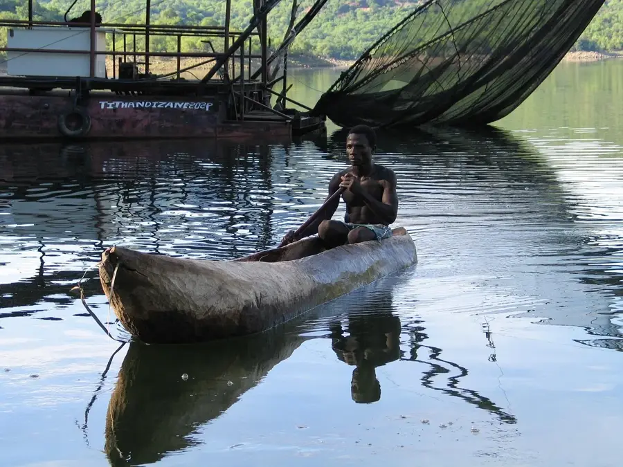
Sights nearby
💡 Tips
- Enjoy the cooler climate of the Angónia plateau, a welcome break from the heat of Tete.
- Use Ulongué as a stopover point if you are traveling towards Malawi or Northern Mozambique.
- Try the local potatoes, famous throughout the country for their high quality.
- Be aware of border regulations if you plan to cross into nearby Malawi.
- Visit the agricultural cooperatives to learn about the local farming practices.
🍽 Food
Often served simply roasted or in stews, straight from the local fields.
Very popular in the small eateries along the main transit road.
Various local snacks made from maize flour, commonly sold at the market.
🛍 Shopping · 🧘 Quiet spots
The best place for fresh fruit, vegetables, and locally produced grains.
Look for hand-woven mats and baskets made by local artisans.
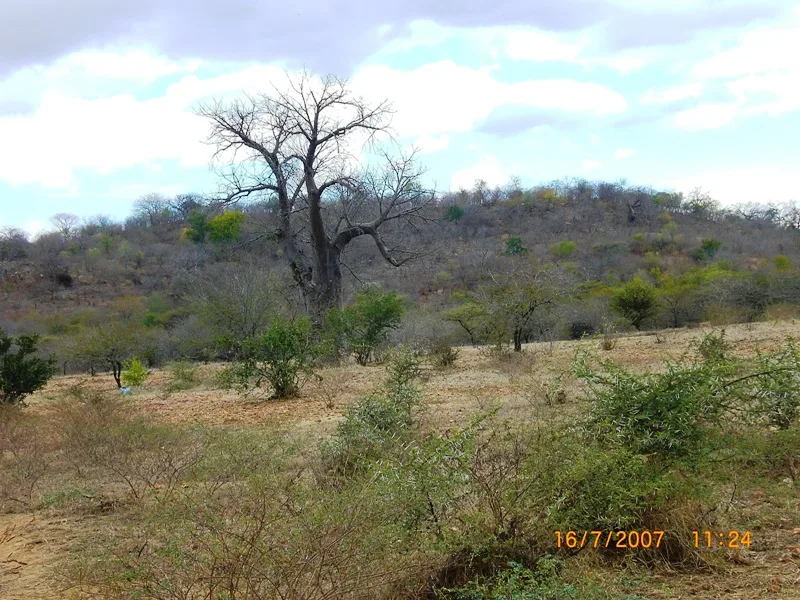
The surrounding hills offer fantastic hiking trails and fresh air.
Find a spot on the edge of town for a panoramic view over the agricultural fields.
Water temperature…
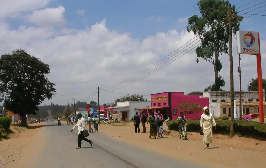
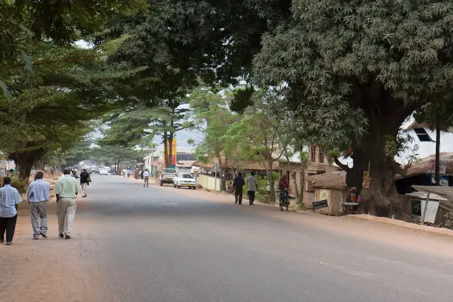
Ulongué is the capital of the Angónia District in Tete Province, located in the northwestern highlands of Mozambique. Geographically, the town is distinguished by its location on the fertile Angónia Plateau, situated at an altitude of over 1,200 meters, which provides a temperate climate. These conditions make Ulongué one of the country's most productive agricultural hubs, particularly for growing potatoes, maize, and various vegetables. Historically, the region has always been a significant site for cross-border trade and cultural exchange due to its proximity to the Malawi border. The town serves as a central market for farmers across the surrounding highlands. The architecture of Ulongué is modest but reflects the agricultural prosperity of the region. Despite its relative isolation from the coast, the town is connected by a well-maintained road to the provincial capital, Tete. Ulongué is also known for its beautiful landscape of rolling hills and vast fields, which stand in stark contrast to the hotter lowlands of Mozambique.
- Location: Mozambique
- Population: ~15.820 (2024)
Best time to visit & climate
The most pleasant time to visit is Aug–Oct.
| Jan | Feb | Mar | Apr | May | Jun | Jul | Aug | Sep | Oct | Nov | Dec | |
|---|---|---|---|---|---|---|---|---|---|---|---|---|
| Avg °C | 21 | 21 | 20 | 19 | 17 | 15 | 15 | 17 | 20 | 23 | 24 | 22 |
| Rain mm | 339 | 224 | 167 | 59 | 17 | 13 | 24 | 6 | 11 | 20 | 77 | 240 |
Geography
Facts
- Located on the Angónia Plateau at an altitude over 1,200 meters
- Most significant producer of seed potatoes in Mozambique
- Situated only about 20 kilometers from the border with Malawi
- The climate is markedly cooler than the rest of Tete Province
- Main trade center for maize and beans in the northwest region
- Hosts its own higher agricultural technical school
Explore nearby
Notable places around
Route planner — Car & Motorhome
Where do you start? We build the route here, with stops and country notes along the way.
© OpenStreetMap contributors · OpenRouteService
Frequently asked questions
Where is Ulongué located?
What is the climate like there?
How to travel to Ulongué?
What can you do there?
How long to stay?
Ulongué: where is it located?
Ulongué: when is the best time to visit?
Ulongué: why is it worth visiting?

Nearby cities
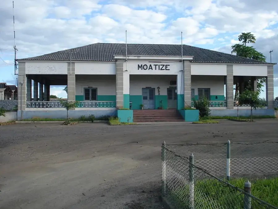

History & landmarks
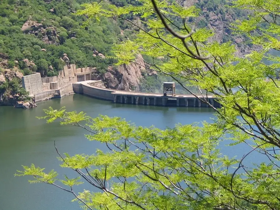

Nature
More places