Plizio Visual Lab
Kirk Range
Weather…
Water temperature…
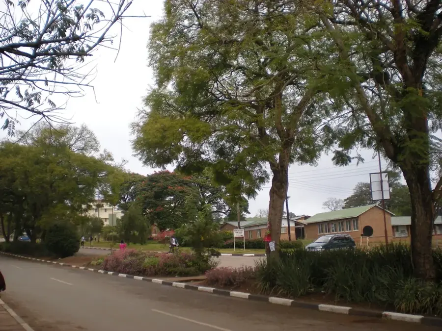
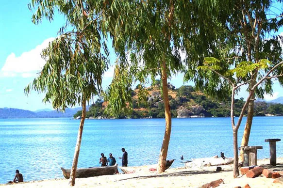
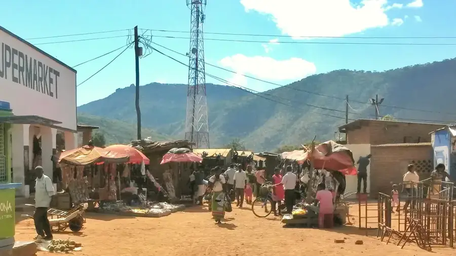
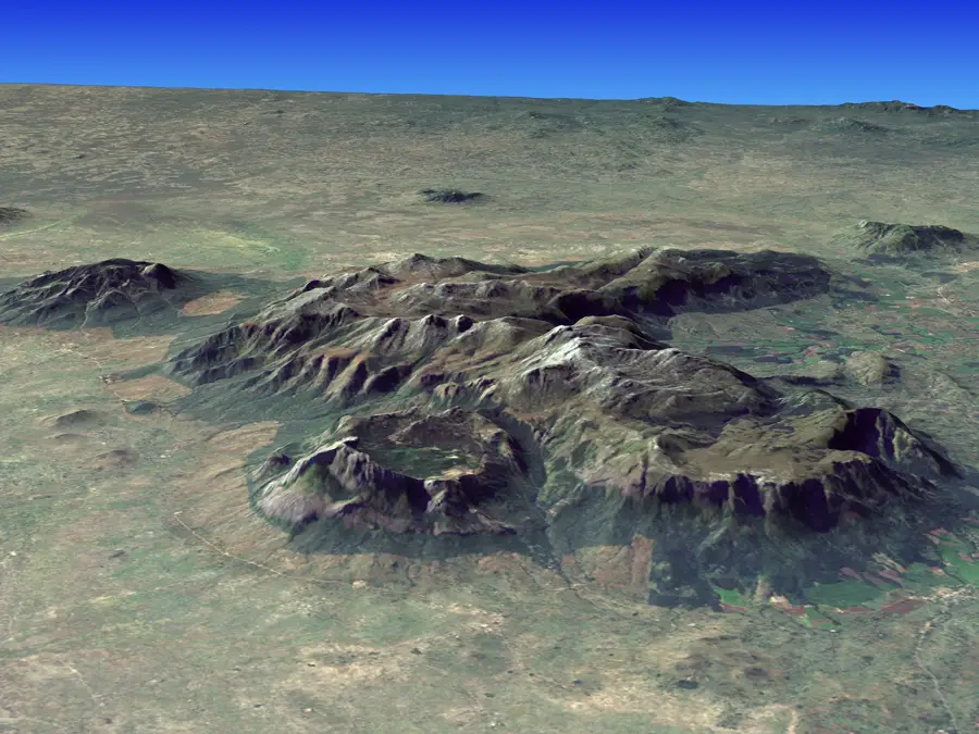
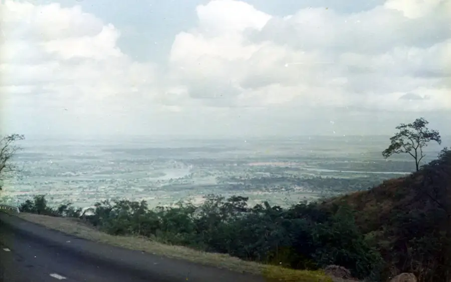
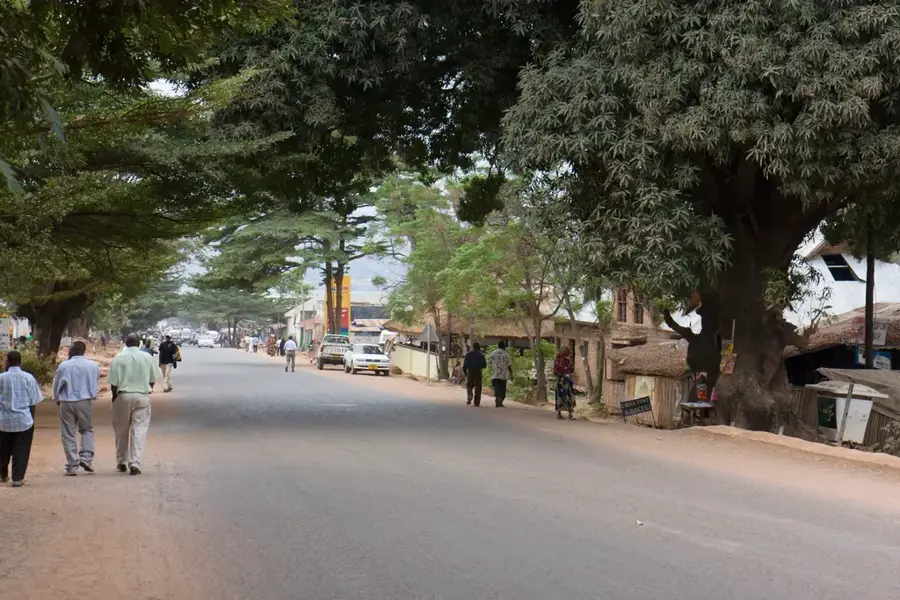
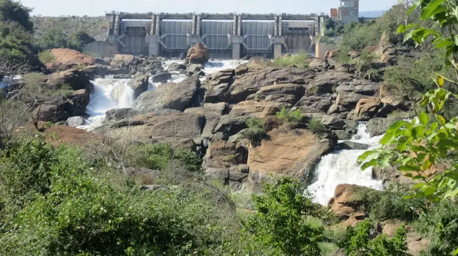
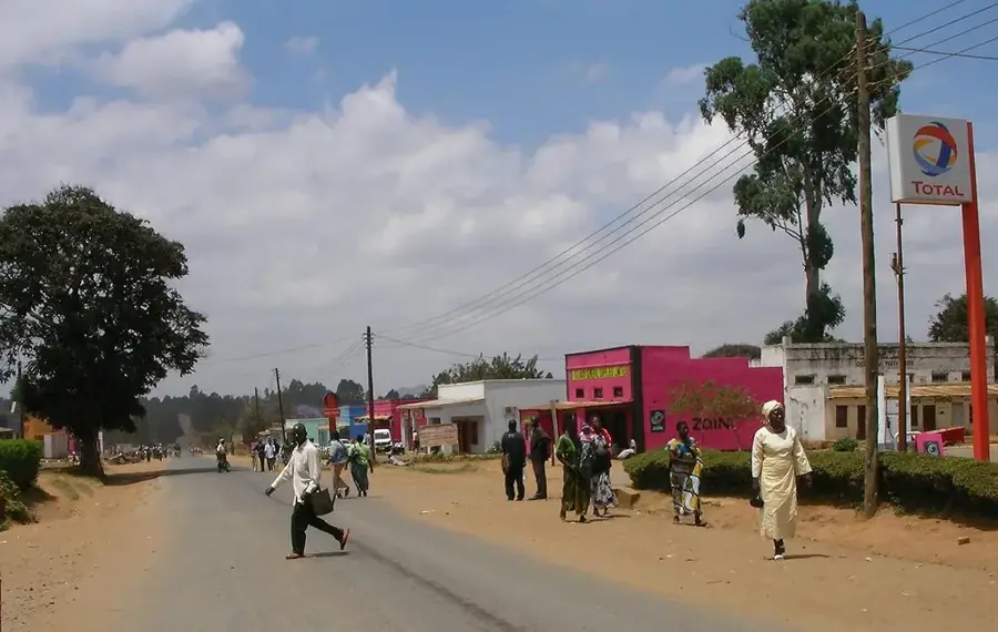
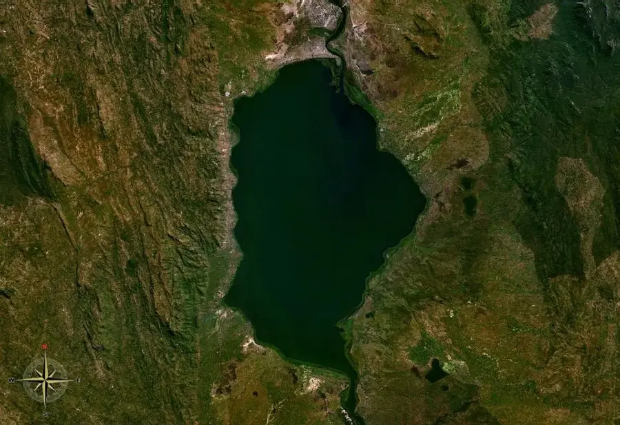
The Kirk Range is a prominent mountain chain stretching along Malawi's western border with Mozambique. Geologically, the range is composed of ancient Precambrian gneisses, forming a significant part of the western rift escarpment of the East African Rift. Reaching elevations of up to 2,000 meters, it serves as a natural drainage divide between the Shire Valley and the central plateaus to the west. The range was named after Sir John Kirk, a physician and explorer who accompanied David Livingstone during his famous expeditions in the region. The climate within the Kirk Range is notably cooler and wetter than the surrounding lowlands, supporting a diverse array of montane forests and grasslands. For travelers and geologists alike, the range gives a rugged landscape characterized by deep valleys and sweeping vistas that extend far into neighboring Mozambique, showcasing the primeval beauty of the African rift topography.
- Location: Malawi
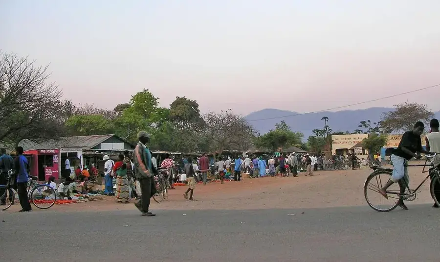
- Nearby: Liwonde (80 km)
Best time to visit & climate
The most pleasant time to visit is Aug–Oct.
| Jan | Feb | Mar | Apr | May | Jun | Jul | Aug | Sep | Oct | Nov | Dec | |
|---|---|---|---|---|---|---|---|---|---|---|---|---|
| Avg °C | 21 | 21 | 20 | 19 | 17 | 15 | 15 | 17 | 20 | 23 | 24 | 22 |
| Rain mm | 339 | 224 | 167 | 59 | 17 | 13 | 24 | 6 | 11 | 20 | 77 | 240 |
📋 Practical info
Geography
Facts
- Length: 150 km
- Average elevation: 1,200 m
- Highest point: 1,800 m
- Annual rainfall: 900–1,400 mm
- Rock types: gneiss and quartzite
- Major crops: tea, coffee, maize, tobacco
Explore nearby
Notable places around
Route planner — Car & Motorhome
Where do you start? We build the route here, with stops and country notes along the way.
© OpenStreetMap contributors · OpenRouteService
Sights nearby
Frequently asked questions
What is the best way to reach the Kirk Range?
Is the Kirk Range suitable for families?
Is there a high risk of weather changes?
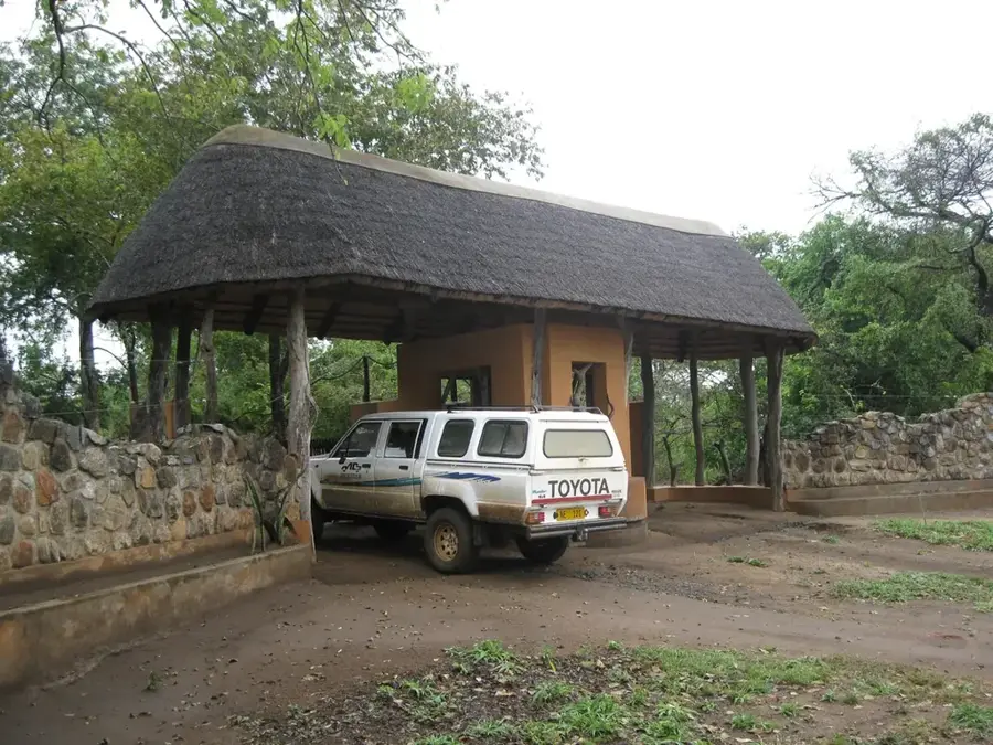
Where can one park nearby?
What equipment is mandatory?
Kirk Range: where is it located?
Kirk Range: when is the best time to visit?
Kirk Range: why is it worth visiting?

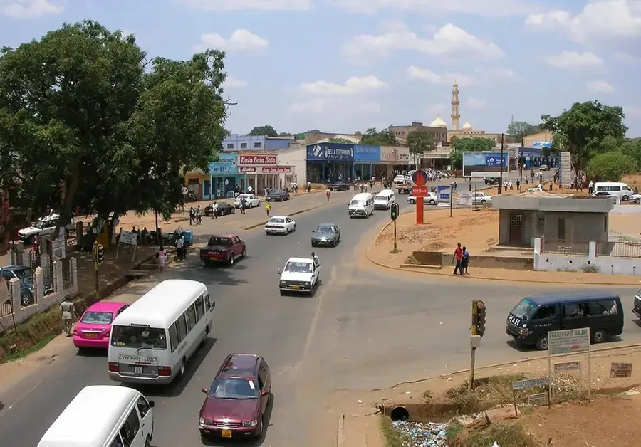
Nearby cities

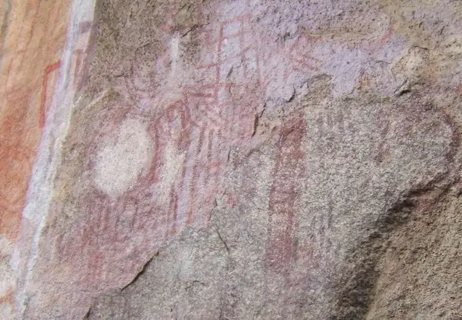
History & landmarks

Nature
More places