Plizio Visual Lab
Samora Machel Bridge
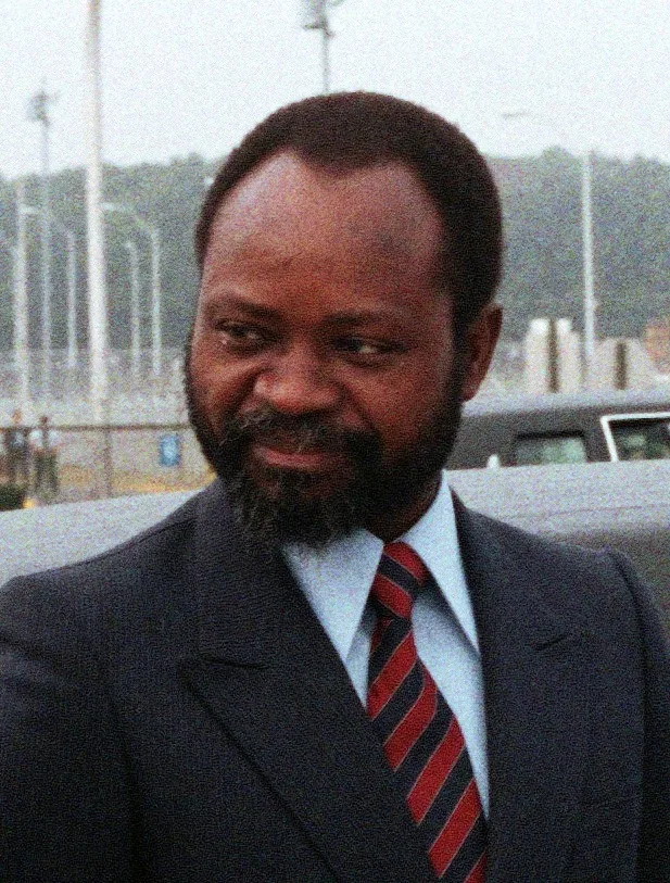
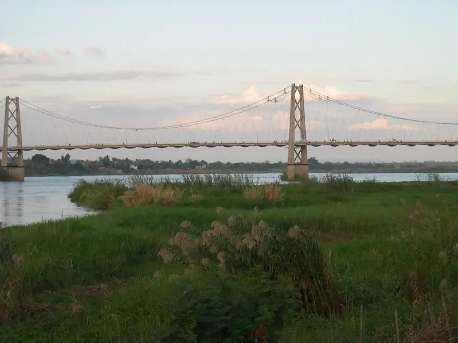
The Samora Machel Bridge is an imposing suspension bridge spanning the Zambezi River in the city of Tete, Mozambique. Completed in 1973, shortly before the nation's independence, it was originally named the Marcello Caetano Bridge after the Portuguese Prime Minister. With a total length of 762 meters, it stood as one of the longest suspension bridges in Southern Africa at the time of its inauguration. The bridge replaced a slow and unreliable ferry service, establishing a vital transit corridor connecting Zimbabwe, Malawi, and the Mozambican port of Beira. Following independence in 1975, it was renamed in honor of Samora Machel, the first President of Mozambique. The engineering feat features a massive concrete deck suspended by steel cables supported by two distinctive pylons. Despite the strategic pressures during the Mozambican Civil War, the bridge remained a crucial asset and has undergone several major rehabilitations to accommodate the heavy industrial traffic from Tete's mining sector.
- Location: Mozambique
- Top sights: Estádio do Chingale · Fort São Tiago Maior · Tete, Mozambique
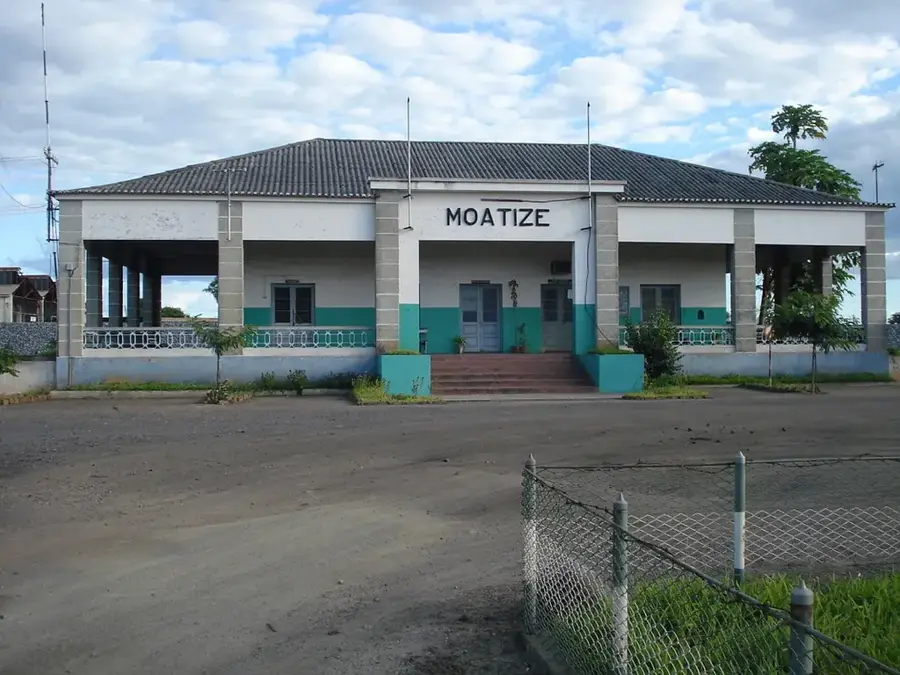
- Nearby: Moatize (17 km)
Best time to visit & climate
The most pleasant time to visit is May–Jul.
| Jan | Feb | Mar | Apr | May | Jun | Jul | Aug | Sep | Oct | Nov | Dec | |
|---|---|---|---|---|---|---|---|---|---|---|---|---|
| Avg °C | 27 | 26 | 26 | 25 | 23 | 21 | 21 | 24 | 27 | 30 | 30 | 28 |
| Rain mm | 232 | 173 | 113 | 26 | 9 | 8 | 15 | 3 | 5 | 10 | 71 | 187 |
📋 Practical info
Geography
Facts
- The bridge was completed in 1973 shortly before the end of colonial rule.
- It has a total length of exactly 762 meters across the Zambezi River.
- Originally, it bore the name of the Portuguese politician Marcello Caetano.
- The suspension bridge is supported by two prominent reinforced concrete pylons.
- It forms part of the essential T6 highway linking Malawi and Zimbabwe.
- It was renamed after Samora Machel following independence in 1975.
Explore nearby
Notable places around
Route planner — Car & Motorhome
Where do you start? We build the route here, with stops and country notes along the way.
© OpenStreetMap contributors · OpenRouteService
Sights in the town Samora Machel Bridge (3)
Sights nearby
Frequently asked questions
Why is the bridge significant?
Can one cross the bridge on foot?
Is it lit at night?
Where is the best photo spot?
How long is the bridge?
Samora Machel Bridge: where is it located?
Samora Machel Bridge: what is there to see?
Samora Machel Bridge: when is the best time to visit?
Samora Machel Bridge: why is it worth visiting?

Nearby cities
History & landmarks
More places