Plizio Visual Lab
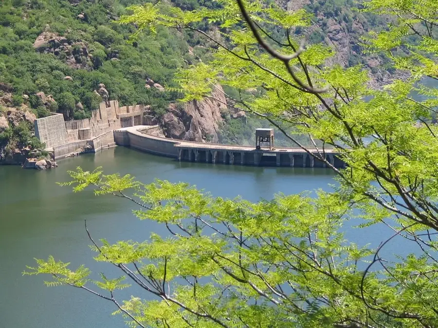
Cahora Bassa Dam
Weather…
Water temperature…
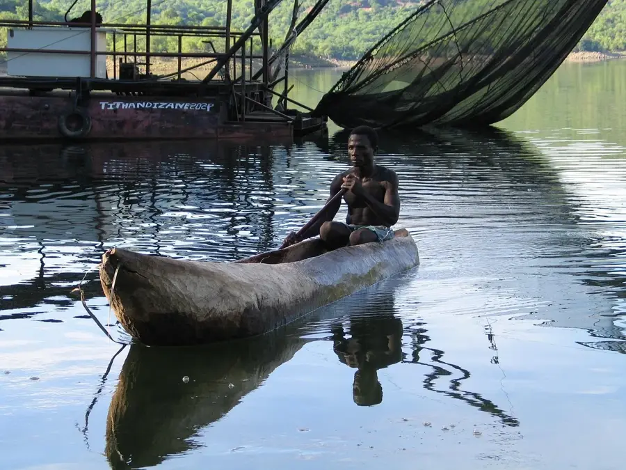
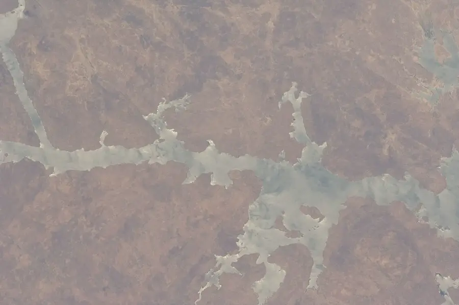
The Cahora Bassa Dam on the Zambezi River in Tete Province is one of the largest hydroelectric projects in Africa. Constructed between 1969 and 1974, this double-curvature arch dam stands at an impressive height of 171 meters with a crest length of 303 meters. The power station has an installed capacity of 2,075 megawatts, making it one of the primary energy sources for Southern Africa. A significant portion of the electricity generated is exported to South Africa via high-voltage direct current (HVDC) transmission lines. The resulting reservoir covers approximately 2,700 square kilometers, ranking as Africa's fourth-largest artificial lake. Beyond power generation, the dam supports commercial fishing and navigation, though it significantly impacts the ecology of the lower Zambezi basin. Control over the dam remained a complex diplomatic issue with Portugal after independence, only reaching a final resolution in 2007 when the Mozambican state acquired the majority shareholding.
- Location: Mozambique
- Nearby: Songo (13 km)
Best time to visit & climate
The most pleasant time to visit is May–Jul.
| Jan | Feb | Mar | Apr | May | Jun | Jul | Aug | Sep | Oct | Nov | Dec | |
|---|---|---|---|---|---|---|---|---|---|---|---|---|
| Avg °C | 26 | 26 | 25 | 25 | 23 | 21 | 20 | 23 | 26 | 29 | 30 | 27 |
| Rain mm | 216 | 170 | 100 | 26 | 6 | 5 | 9 | 2 | 3 | 11 | 66 | 197 |
📋 Practical info
Geography
Facts
- The dam wall height is 171 meters with a 303-meter crest.
- The station has an installed capacity of 2,075 MW.
- Construction began in 1969 and finished in 1974.
- The reservoir surface area is approximately 2,700 km².
- Transmits power via a 1,420 km HVDC line to South Africa.
- Ownership was transferred to Mozambique on November 27, 2007.
Explore nearby
Notable places around
Route planner — Car & Motorhome
Where do you start? We build the route here, with stops and country notes along the way.
© OpenStreetMap contributors · OpenRouteService
Sights nearby
Frequently asked questions
Can the dam be visited?
How long does a visit take?
Are there boat tours on the lake?
Is photography allowed at the dam?
When is the best time to visit?
Cahora Bassa Dam: where is it located?
Cahora Bassa Dam: when is the best time to visit?
Cahora Bassa Dam: why is it worth visiting?

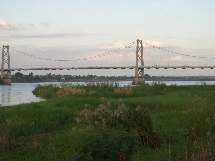
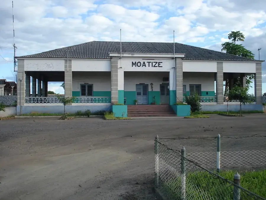
Nearby cities
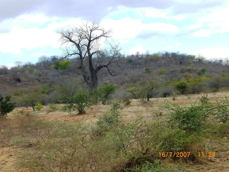
Nature
More places