Plizio Visual Lab
Phirilongwe Hill

Weather…
Water temperature…
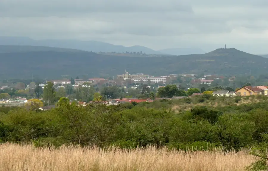
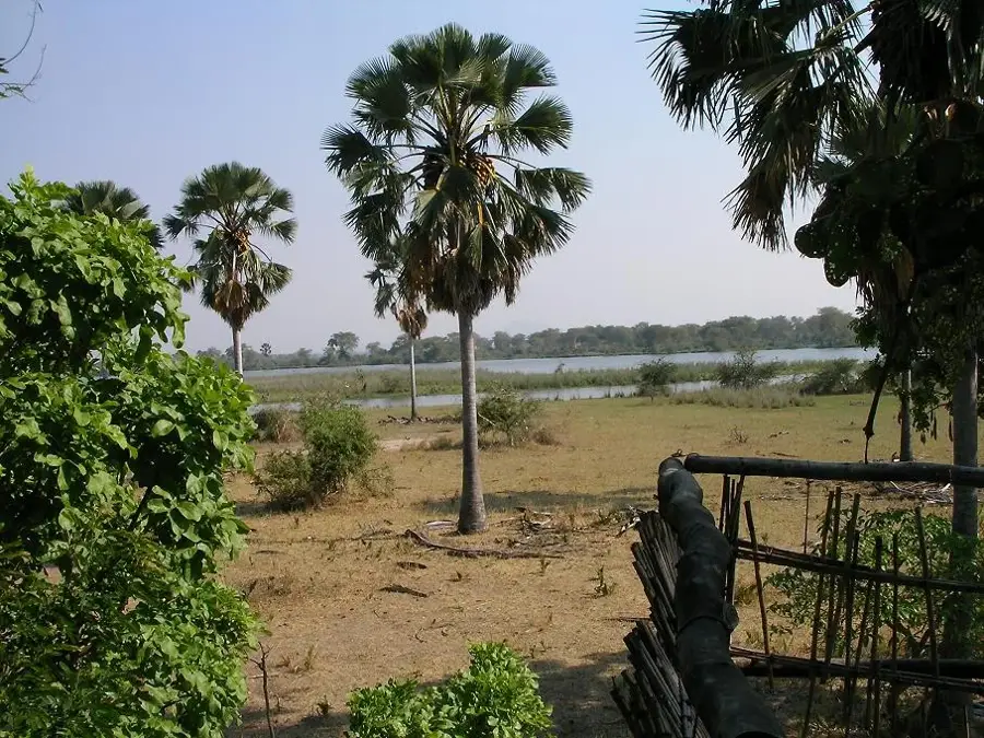
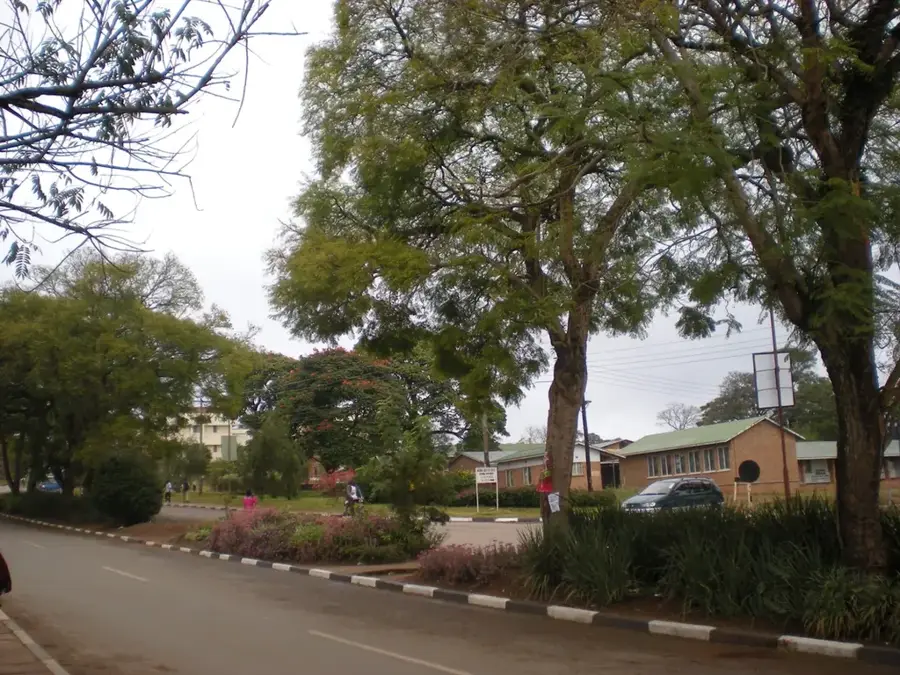
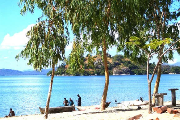
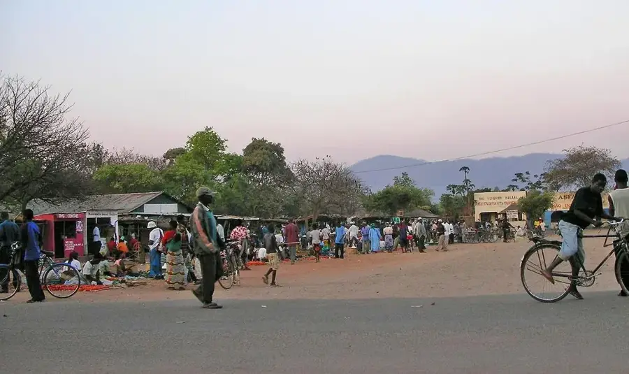
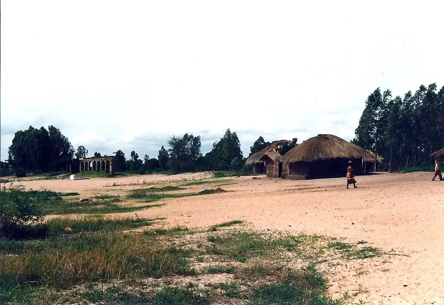
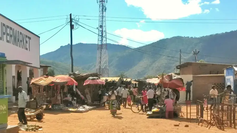
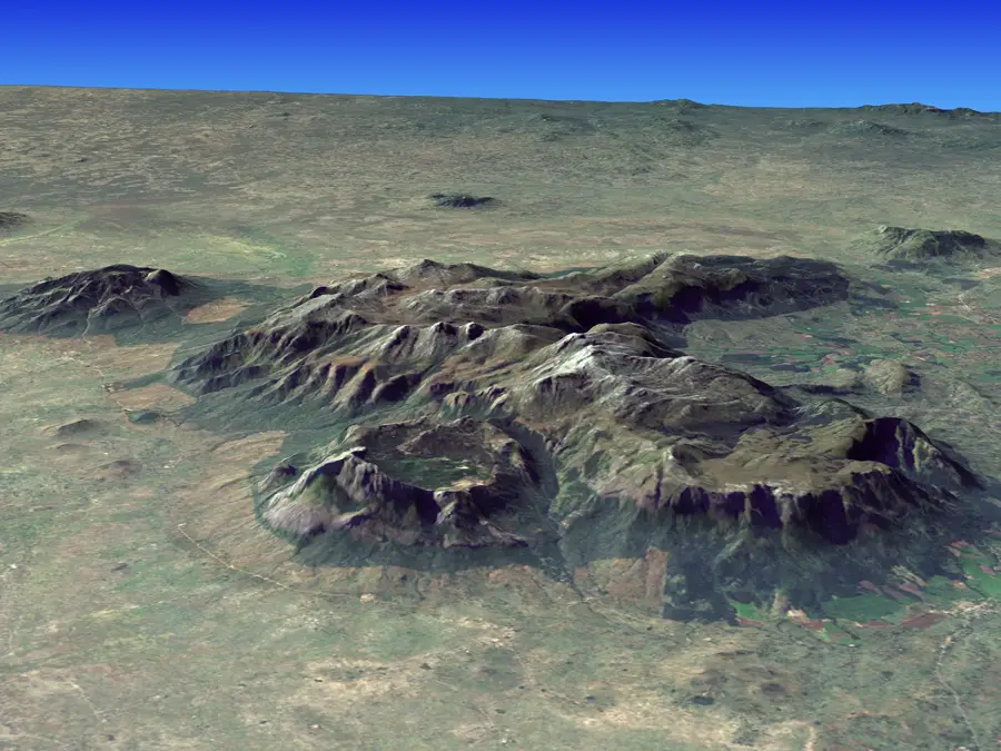
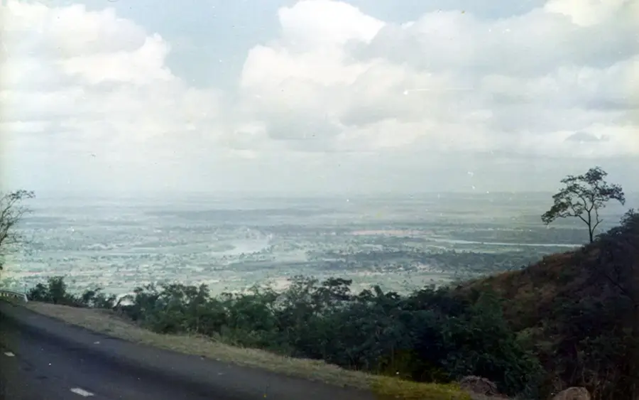
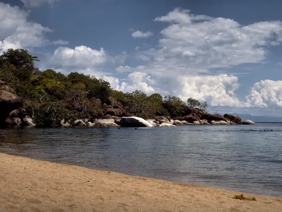
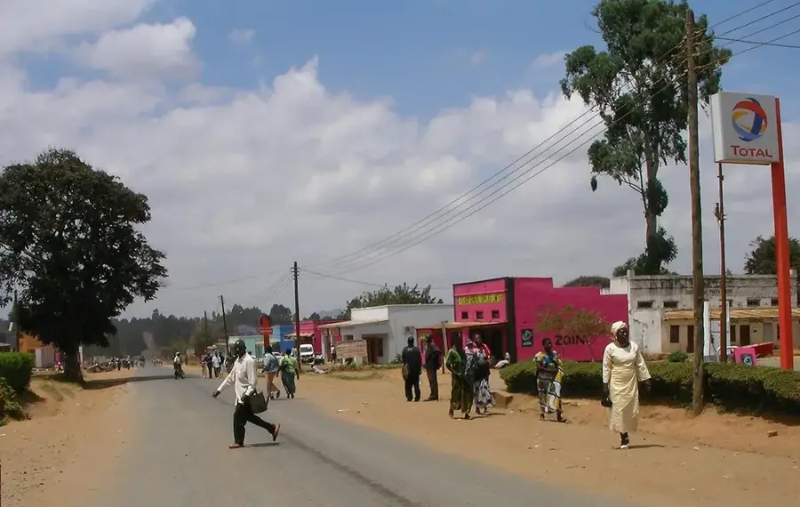
Phirilongwe Hill is a dominant geological landmark located to the west of Mangochi in southern Malawi. Rising to an impressive altitude of 1,554 meters, it stands as the highest point in its immediate vicinity, shaping the physical geography of the Mangochi-Southwest region. The hill is primarily composed of ancient Precambrian granite-gneiss, giving it a rugged character with steep, forested slopes and exposed rocky outcrops. It is surrounded by the Phirilongwe Forest Reserve, an essential area for biodiversity conservation in a landscape increasingly affected by human activity. This forest provides a habitat for various endemic plant species and a rich array of mountain-dwelling birds, making it a key site for ecological research and birding. The climb to the summit is considered challenging due to the incline, but it rewards adventurous hikers with sweeping views of the surrounding plains and the distant shimmer of Lake Malawi. Historically, the hill has served as a landmark for travelers and a source of timber and water for nearby villages, remaining a vital natural asset for the regional environment.
- Location: Malawi
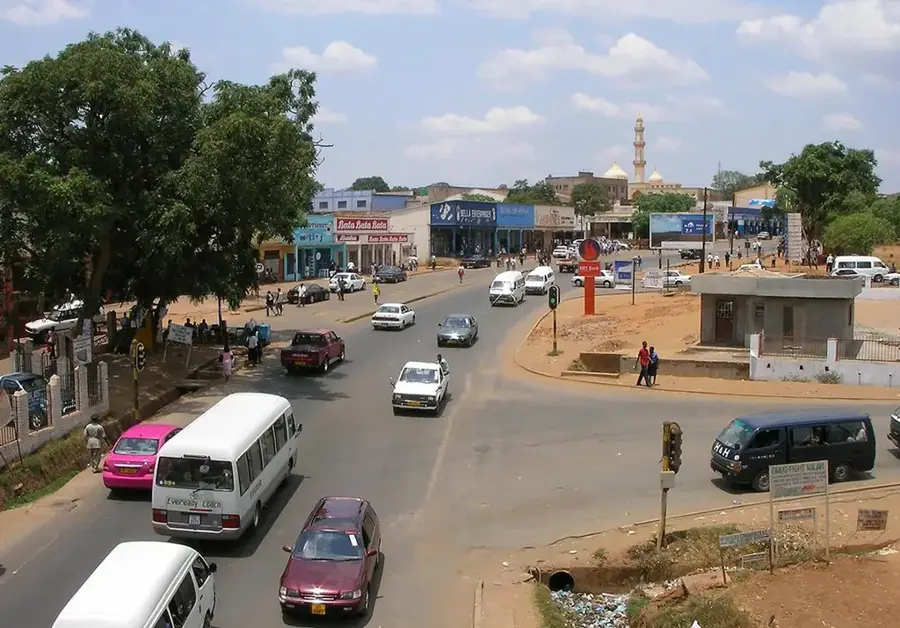
- Nearby: Club Makokola (32 km)
Best time to visit & climate
The most pleasant time to visit is May, Jun, Aug.
| Jan | Feb | Mar | Apr | May | Jun | Jul | Aug | Sep | Oct | Nov | Dec | |
|---|---|---|---|---|---|---|---|---|---|---|---|---|
| Avg °C | 25 | 24 | 24 | 23 | 21 | 20 | 20 | 22 | 25 | 28 | 29 | 26 |
| Rain mm | 325 | 217 | 158 | 45 | 10 | 4 | 8 | 6 | 4 | 15 | 58 | 235 |
📋 Practical info
Geography
Facts
- Elevation: 1,200 m
- Rock type: granite
- Reserve: Phirilongwe Forest
- Wildlife: baboons
- Crops: tobacco, maize
- Annual rainfall: 1,000 mm
Explore nearby
Notable places around
Route planner — Car & Motorhome
Where do you start? We build the route here, with stops and country notes along the way.
© OpenStreetMap contributors · OpenRouteService
Sights nearby
Frequently asked questions
Why should you visit this hill?
Is the climb strenuous?
When is the best time for a photo?
Do I need a guide?
Are pets allowed?
Phirilongwe Hill: where is it located?
Phirilongwe Hill: when is the best time to visit?
Phirilongwe Hill: why is it worth visiting?

Nearby cities

History & landmarks

Nature

More places