Plizio Visual Lab
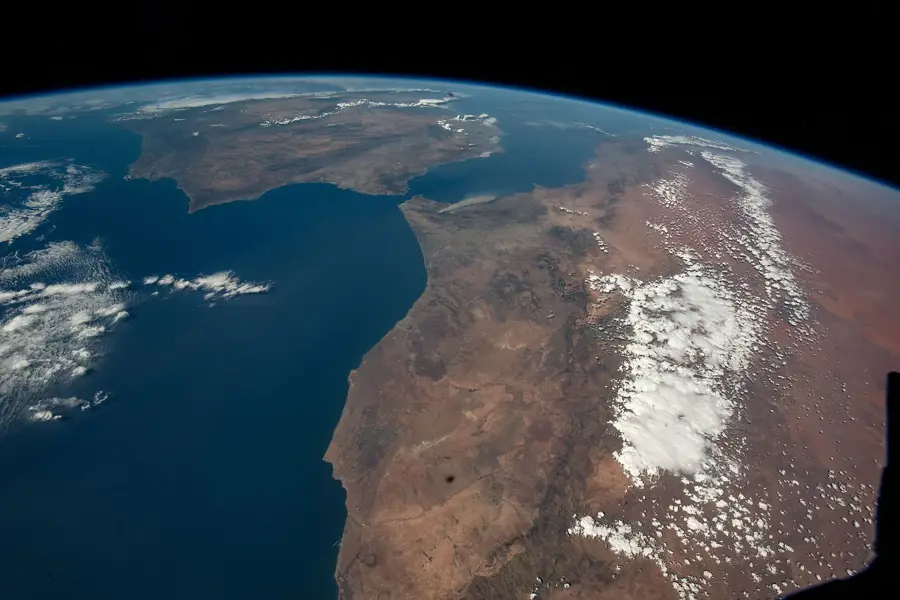
Sebou Basin

Weather…
Water temperature…
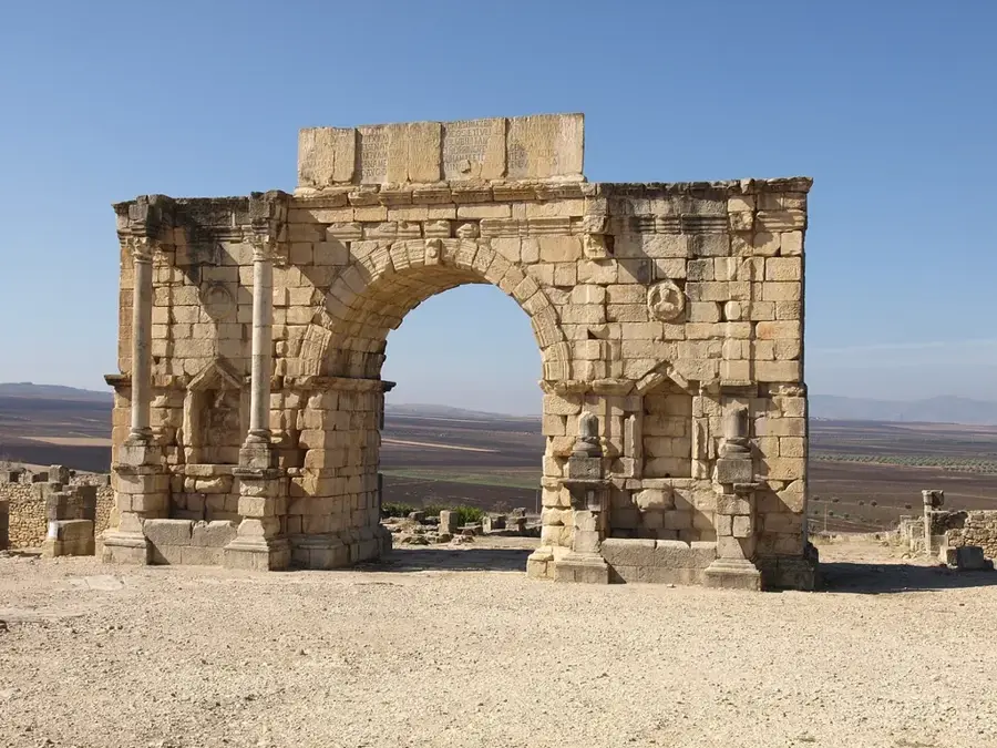
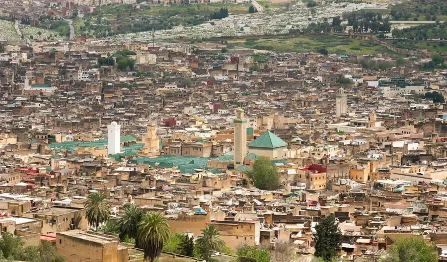
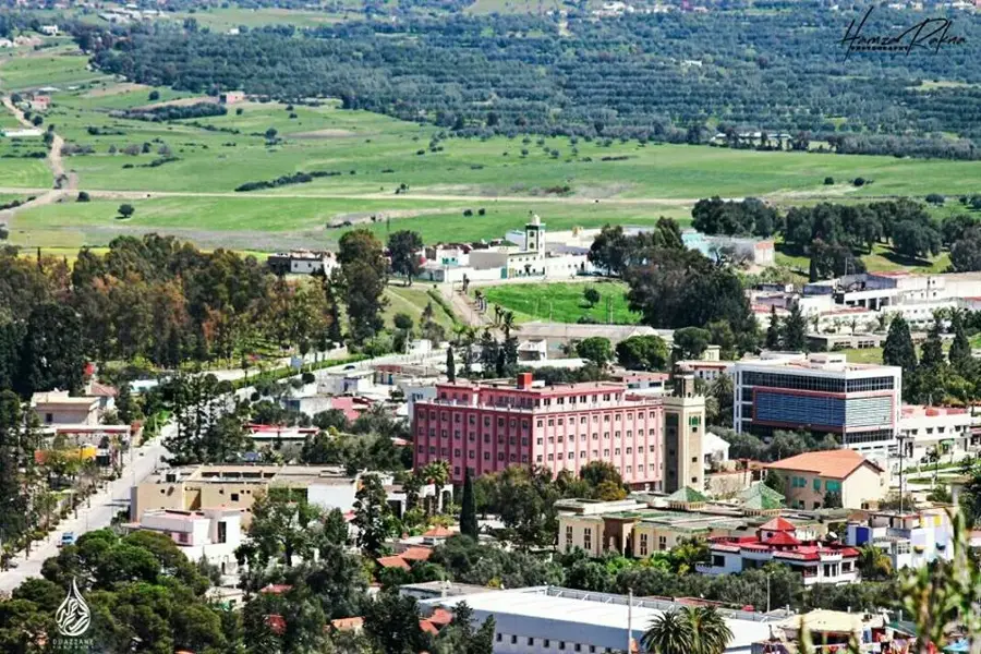
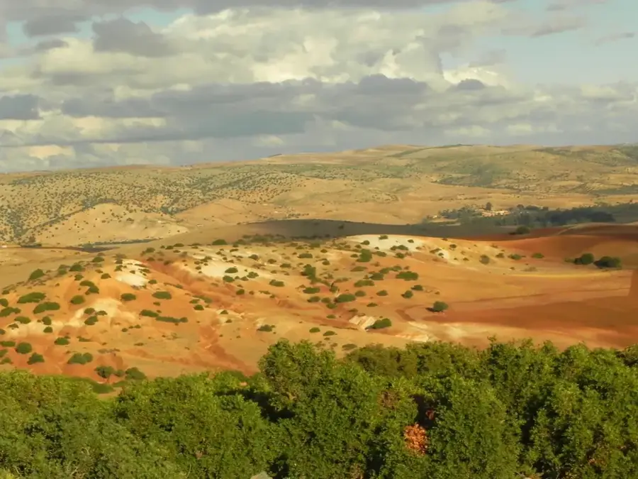
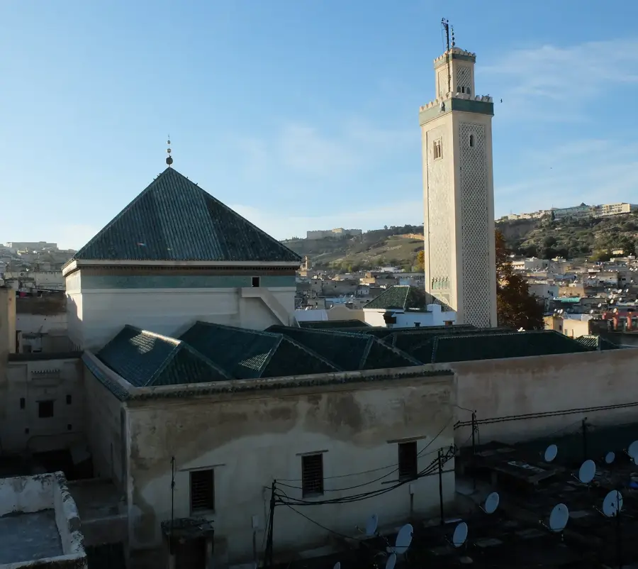
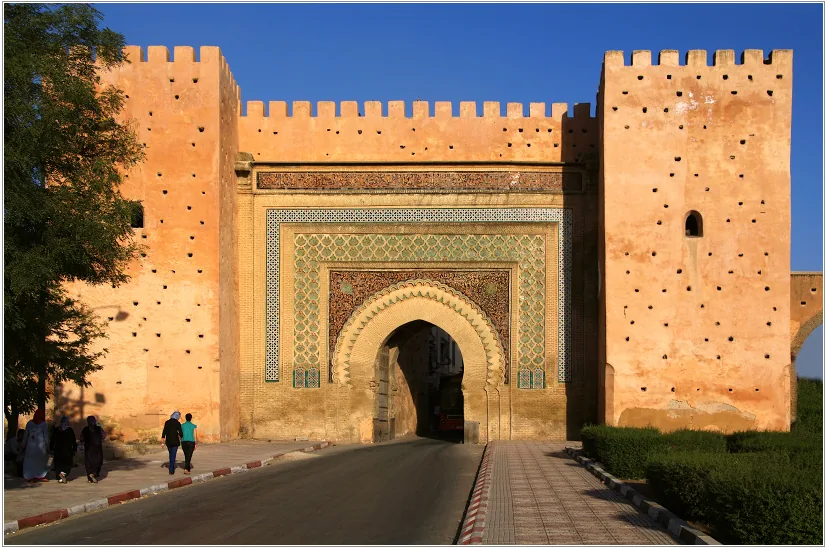
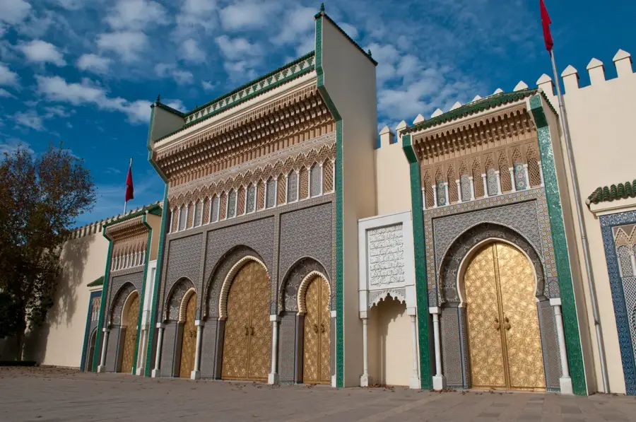
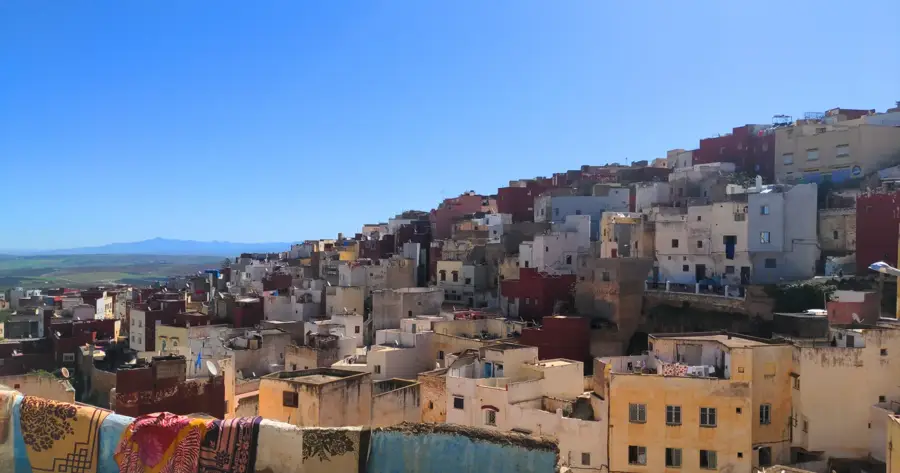
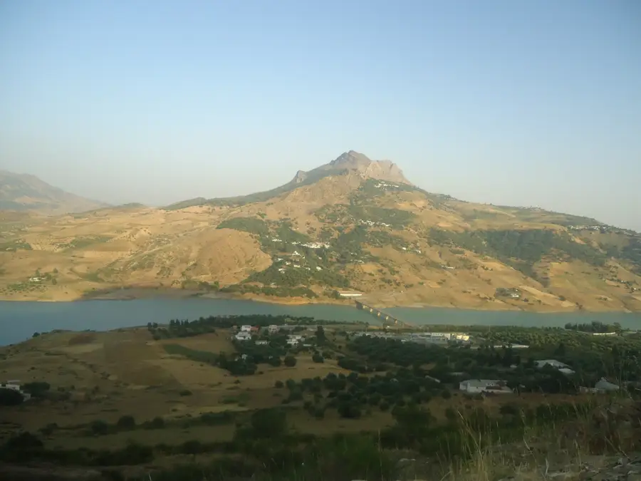
The Sebou Basin is one of Morocco's most vital agricultural regions, encompassing the drainage area of the Sebou River, which flows for approximately 450 to 614 kilometers. Located in the northwest of the country, this region is characterized by high soil fertility and relatively abundant rainfall, making it the hub for Morocco's production of cereals, sugarcane, and citrus fruits. Historically, the basin has been inhabited since antiquity, with the Romans establishing major cities like Volubilis here to harness its agricultural potential. Geographically, the basin spans the Gharb plain and is bordered by the foothills of the Middle Atlas and Rif Mountains. Modern irrigation projects and dams, such as the Al-Wahda Dam, one of the largest in Africa, have significantly increased the region's agricultural capacity over recent decades. Despite its productivity, the basin faces environmental challenges, including water pollution from industrial waste and intensive pesticide use. Nevertheless, the Sebou Basin remains a cornerstone of Moroccan food security and a key exporter of agricultural goods to Europe.
- Location: Morocco
- Nearby: Sidi Kacem (21 km)
Best time to visit & climate
The most pleasant time to visit is May, Jun, Oct.
| Jan | Feb | Mar | Apr | May | Jun | Jul | Aug | Sep | Oct | Nov | Dec | |
|---|---|---|---|---|---|---|---|---|---|---|---|---|
| Avg °C | 11 | 12 | 15 | 17 | 21 | 26 | 29 | 29 | 26 | 22 | 16 | 13 |
| Rain mm | 82 | 71 | 85 | 60 | 29 | 5 | 2 | 3 | 22 | 73 | 110 | 87 |
📋 Practical info
Geography
Facts
- The Sebou River drains a total area of approximately 40,000 square kilometers.
- The Al-Wahda Dam project in the Sebou Basin is the second largest in Africa.
- The region contributes about 30% of Morocco's total cereal harvest.
- Historically, the city of Volubilis was the center of olive oil production here.
- Over 200,000 hectares of land are irrigated using modern infrastructure in the basin.
- The Sebou Basin is home to large-scale industrial facilities for sugar processing.
Explore nearby
Notable places around
Route planner — Car & Motorhome
Where do you start? We build the route here, with stops and country notes along the way.
© OpenStreetMap contributors · OpenRouteService
Sights nearby
Frequently asked questions
What makes the Sebou River Basin significant?
Can you travel through the region?
What are the main products there?
Is the area touristy?
Are there accommodations?
Sebou Basin: where is it located?
Sebou Basin: when is the best time to visit?
Sebou Basin: why is it worth visiting?

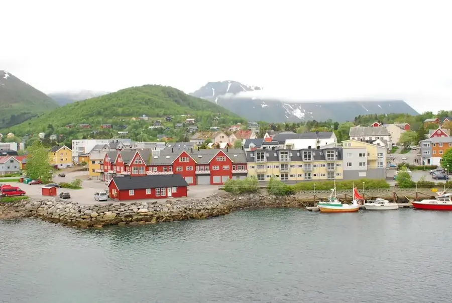
Nearby cities
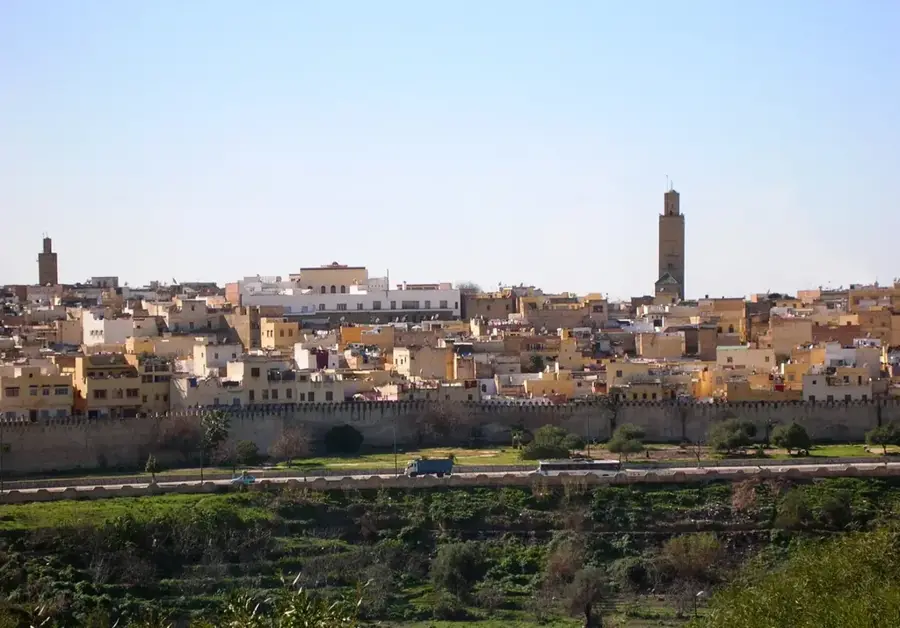
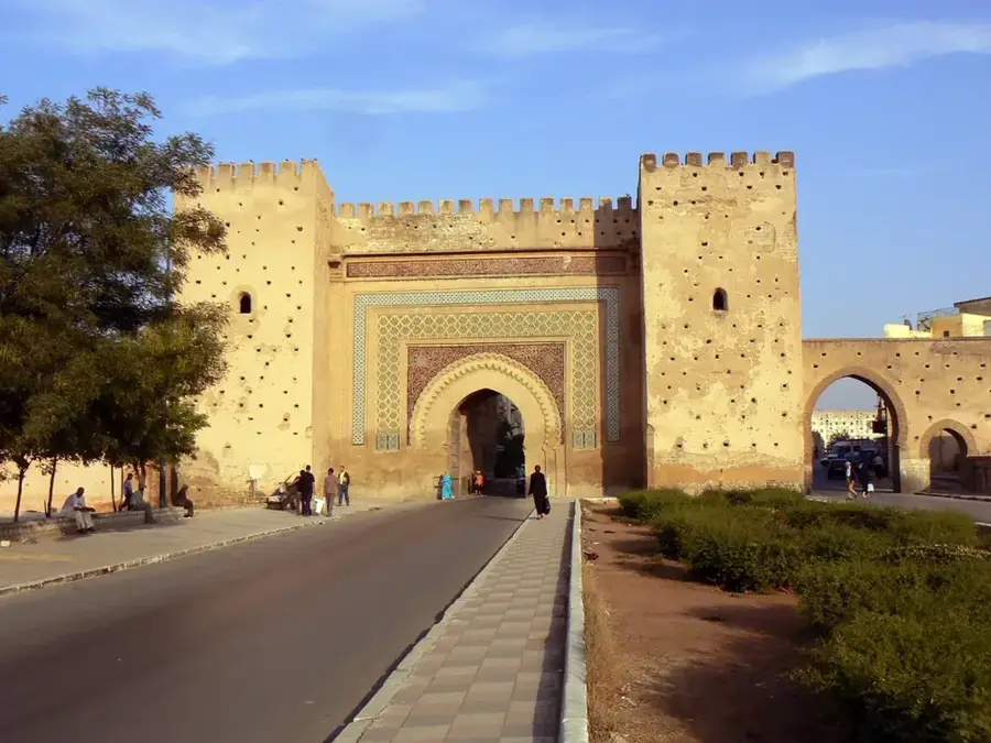
History & landmarks
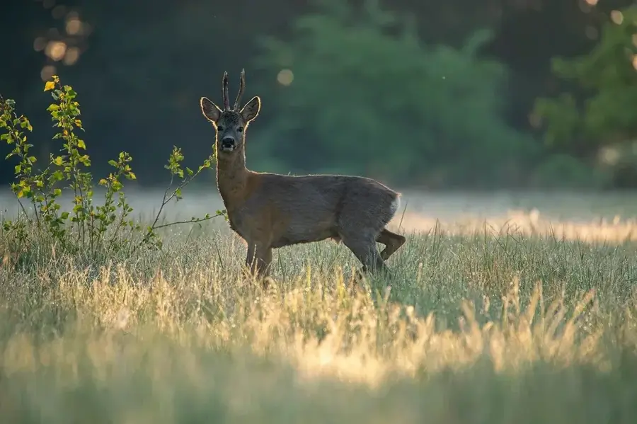
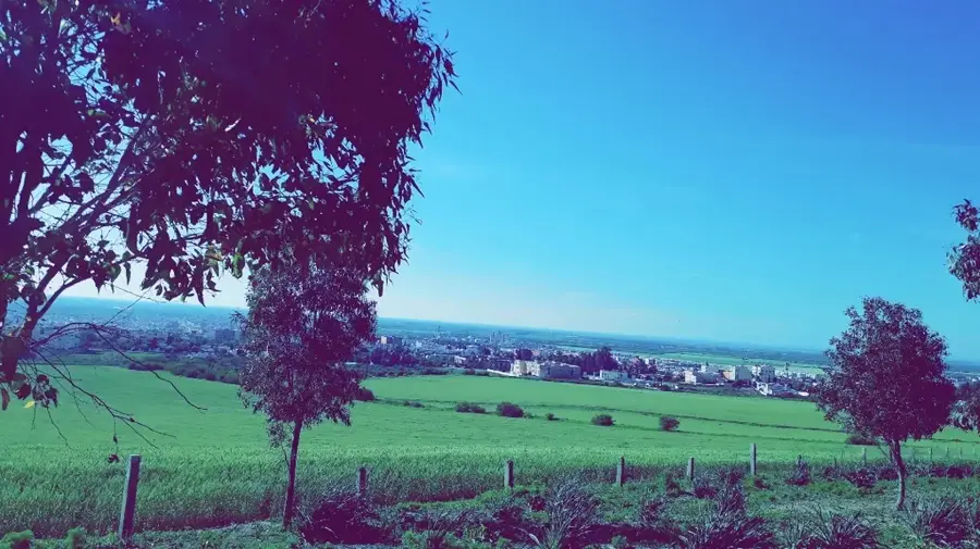
Nature
More places