Plizio Visual Lab
Sebou
Weather…
Water temperature…
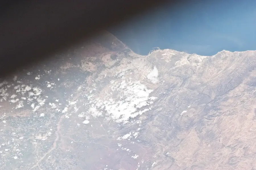
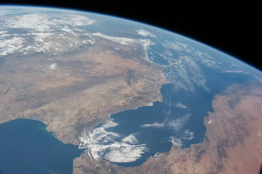
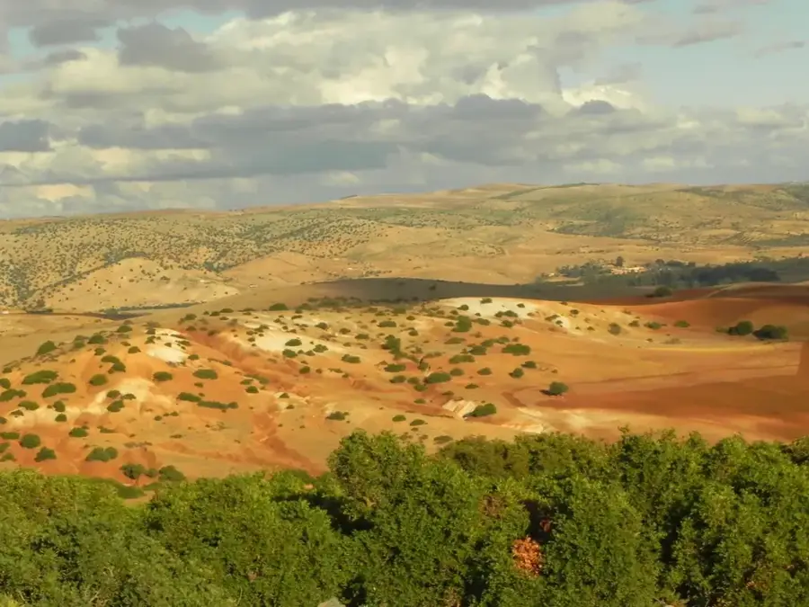
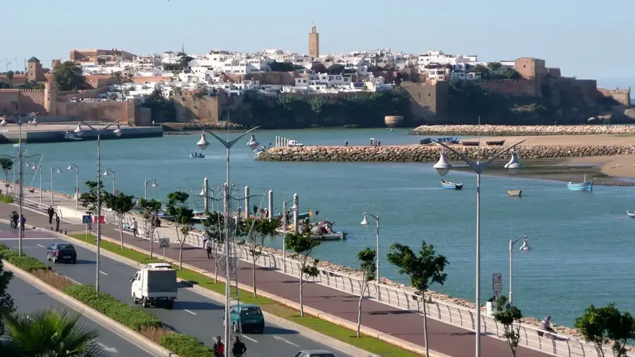
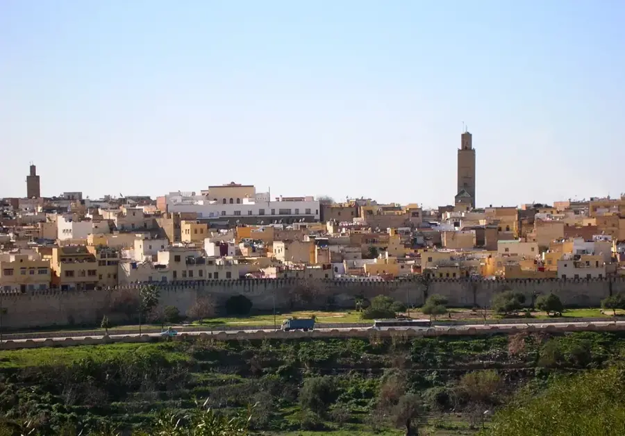
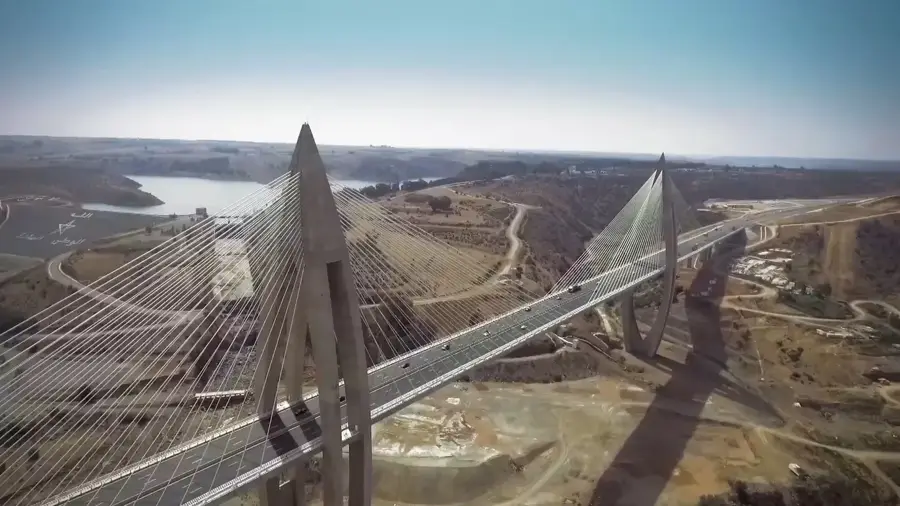
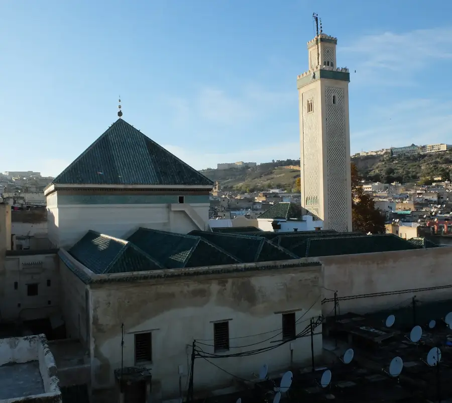
The Oued Sebou is Morocco's largest river by discharge volume, playing a pivotal role in the nation's economy and geography. Originating in the Middle Atlas Mountains as the Oued Guigou, it flows for approximately 450 kilometers across the country. The river traverses the fertile Gharb Plain, one of Morocco's primary agricultural regions, before emptying into the Atlantic Ocean at Mehdia, near Kenitra. Its drainage basin covers roughly 40,000 square kilometers, which accounts for about 6% of Morocco's total land area. The Sebou is essential for the large-scale irrigation of cereals, citrus fruits, and rice paddies. Due to its significant water volume, it feeds several major dams, most notably the Al Wahda Dam, the second-largest dam in Africa. Historically, the Sebou basin has been a center of Moroccan civilization, supporting major cities like Fez along its tributaries. Currently, the river faces environmental challenges due to industrial runoff and urban waste, leading to extensive national restoration efforts.
- Location: Morocco
- Nearby: Tiflet (35 km)
Best time to visit & climate
The most pleasant time to visit is May, Jun, Oct.
| Jan | Feb | Mar | Apr | May | Jun | Jul | Aug | Sep | Oct | Nov | Dec | |
|---|---|---|---|---|---|---|---|---|---|---|---|---|
| Avg °C | 12 | 13 | 15 | 17 | 20 | 24 | 27 | 27 | 24 | 21 | 16 | 13 |
| Rain mm | 67 | 55 | 64 | 44 | 23 | 4 | 2 | 3 | 25 | 58 | 95 | 68 |
📋 Practical info
Geography
Facts
- Total length of approximately 450 km.
- Morocco's highest discharge river.
- Drainage basin covers 40,000 square km.
- Mouth at the Atlantic Ocean in Mehdia.
- Feeds the Al Wahda Dam, Africa's second largest.
- Navigable for small vessels on the final 17 km.
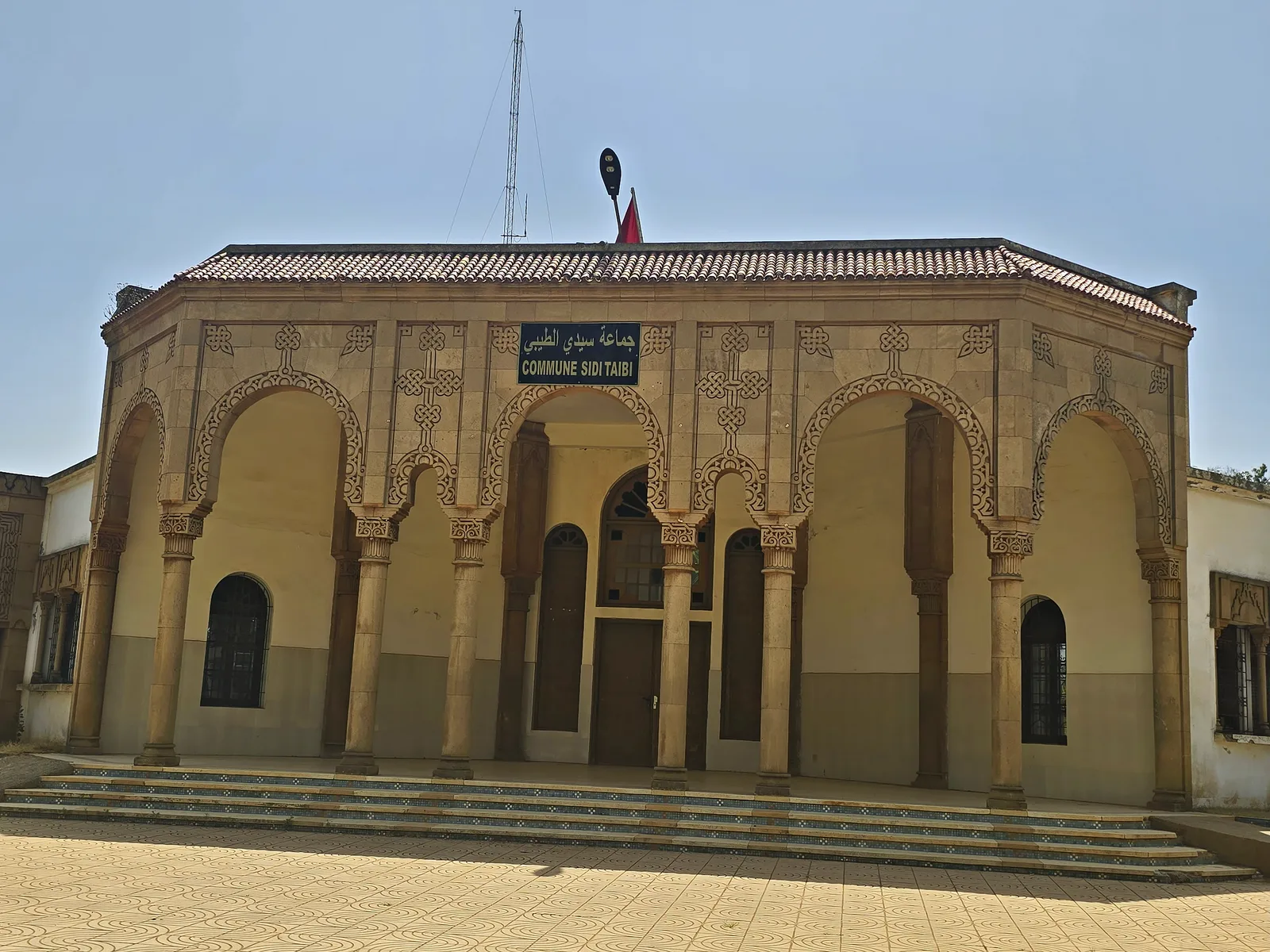
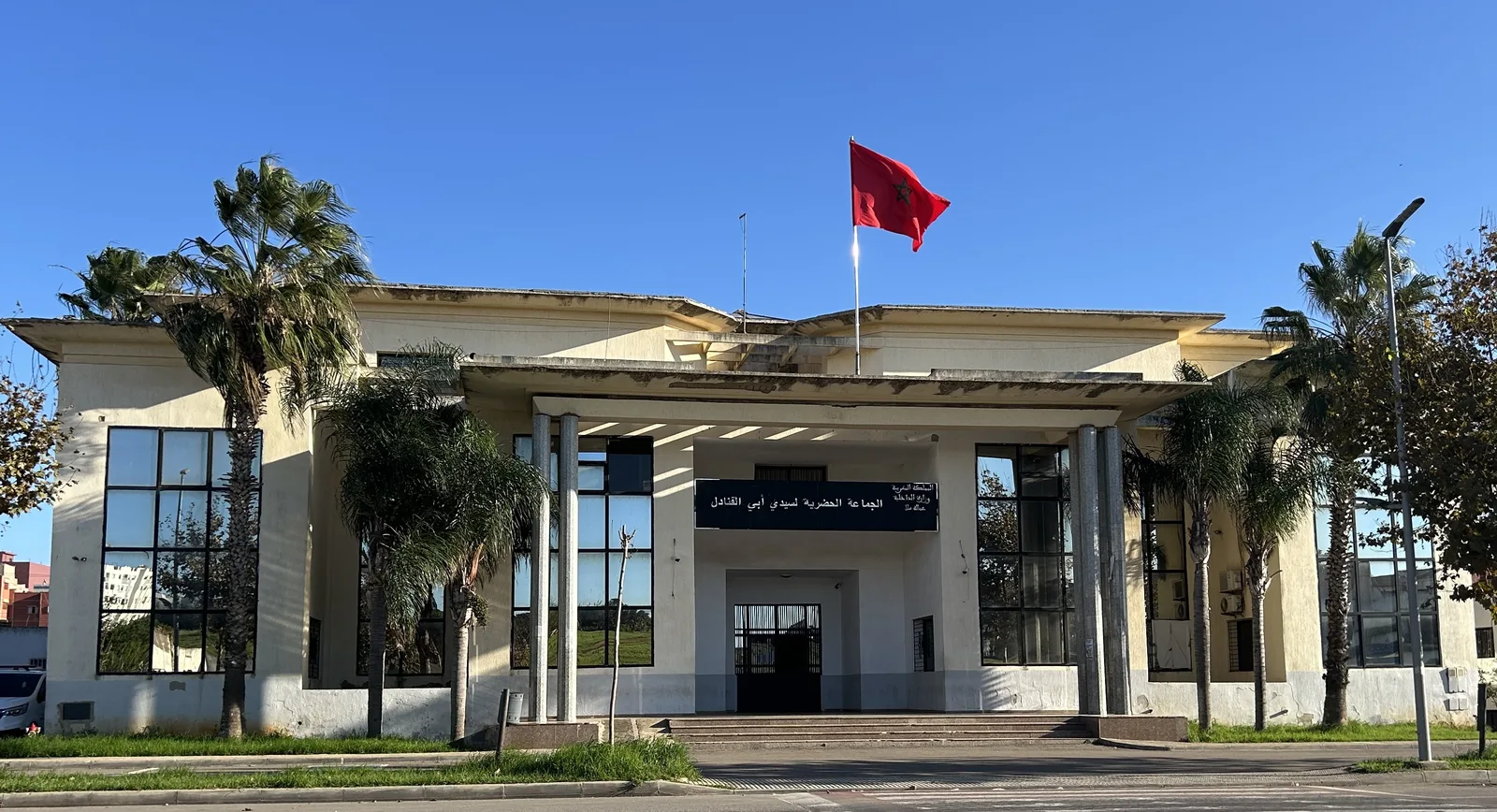
Explore nearby
Notable places around
Route planner — Car & Motorhome
Where do you start? We build the route here, with stops and country notes along the way.
© OpenStreetMap contributors · OpenRouteService
Sights nearby
Frequently asked questions
What is the significance of the Sebou for Morocco?
Does the Sebou flow through Fez?
Can you go boating on the Sebou?
Is the Sebou's water clean?
Where does the Sebou originate?
Sebou: where is it located?
Sebou: when is the best time to visit?
Sebou: why is it worth visiting?

Nearby cities
History & landmarks
Nature

More places