Plizio Visual Lab
Taounate
ℹ️Practical info — Taounate
▾
🌤 Weather — 5 days
📍 Nearby
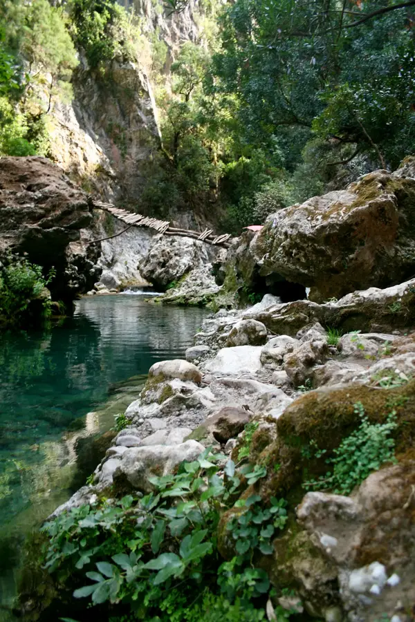
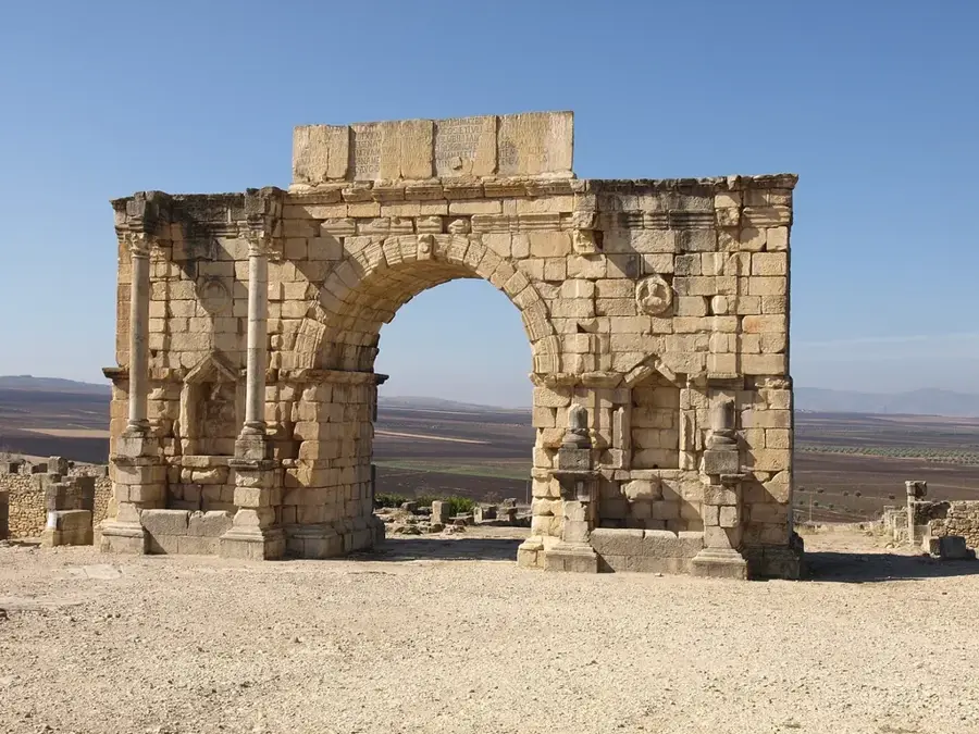
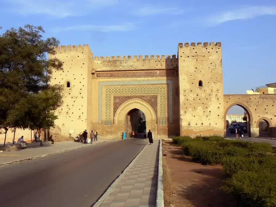
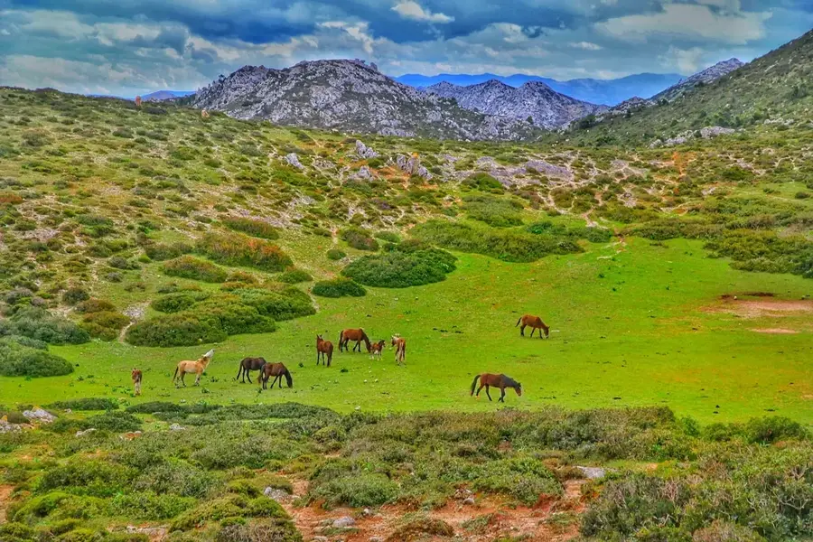
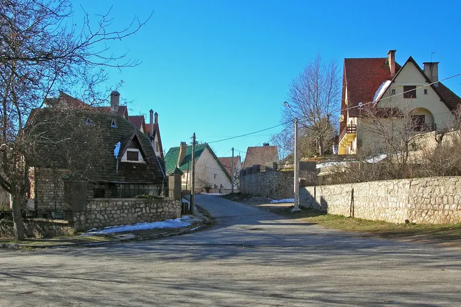
Sights nearby
💡 Tips
- Explore the hilly streets on foot, but be prepared for steep climbs.
- Renting a grand taxi is best for visiting the surrounding Rif mountains.
- Visit the local Friday market if you want to see rural Moroccan life.
- The olive harvest season in autumn brings a unique buzz to the town.
- Respect local customs by dressing modestly, especially away from major tourist hubs.
🍽 Food
Served in traditional eateries near the center.
Buy them from street vendors during summer.
Enjoyed in cafes overlooking the valley.
🛍 Shopping · 🧘 Quiet spots
Available at the main market or cooperative shops.
Dried figs and jams sold by local farmers.
Excellent for sunset views over the Rif foothills.
A calm place for a walk outside town.
Water temperature…
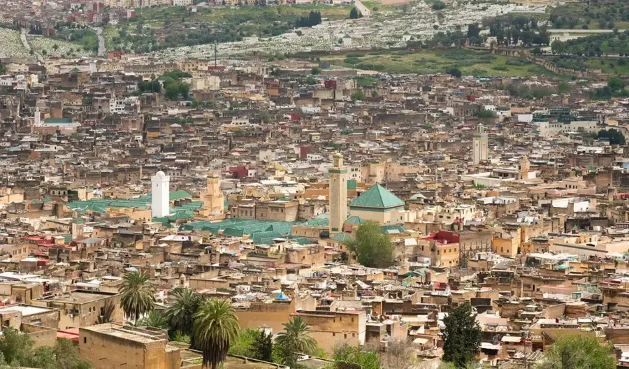
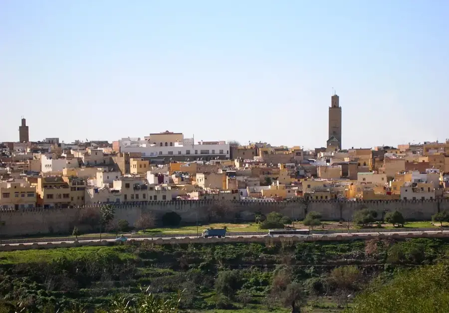
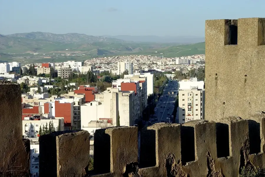
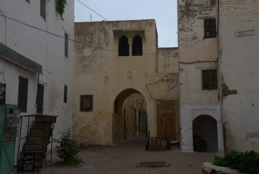
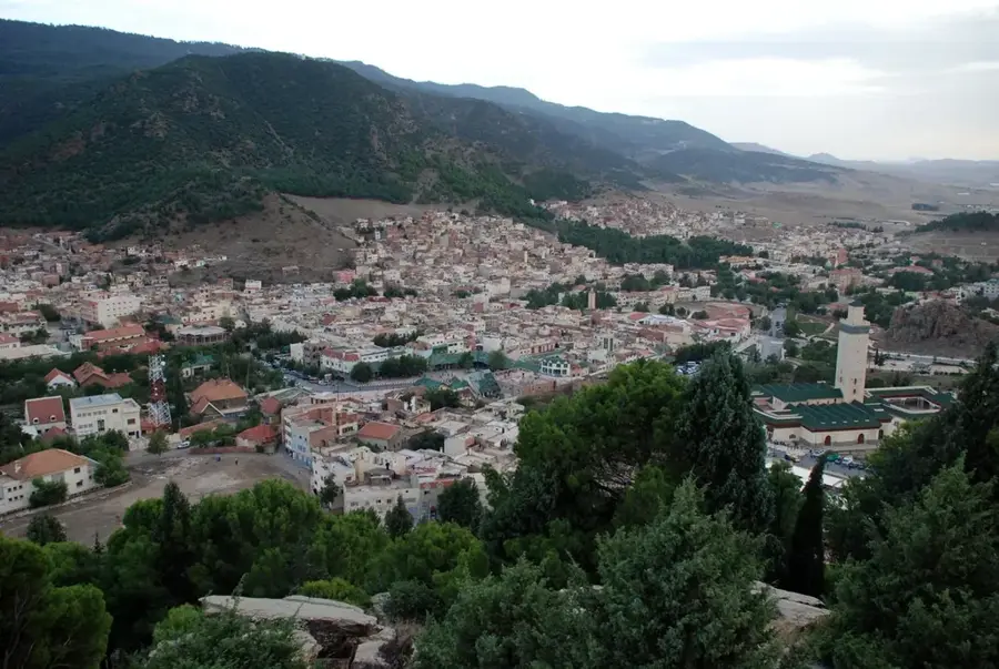
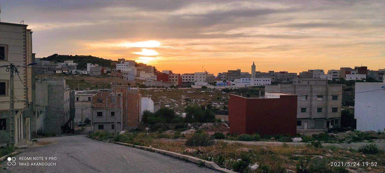
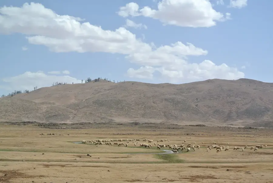
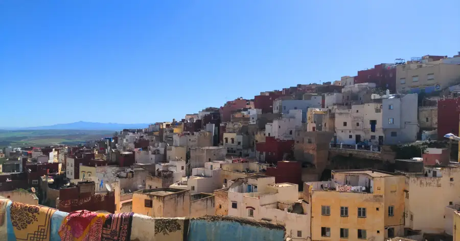
Taounate is a scenic town in northern Morocco, perched across a series of hills in the heart of the Rif Mountains. The town serves as the administrative and commercial hub of a fertile agricultural province, renowned for its production of figs, olives, and almonds. Geographically, the area is defined by water-rich valleys and its proximity to the Al Wahda Dam, the largest dam in Morocco and the second largest in Africa, which is vital for national irrigation and hydroelectric power. Taounate possesses a strong cultural identity rooted in the Jbala traditions of the northern highlands, visible in local music, crafts, and weekly markets. It acts as a primary trading post for the surrounding mountain villages and has a gateway for exploring the rugged natural beauty of the Rif region. Despite its rural character, Taounate is central to the regional economic development of the Pre-Rif area.
- Location: Morocco
- Nearby: Fes (65 km)
- Population: ~41.075 (2024)
Best time to visit & climate
The most pleasant time to visit is Jun, Jul, Sep.
| Jan | Feb | Mar | Apr | May | Jun | Jul | Aug | Sep | Oct | Nov | Dec | |
|---|---|---|---|---|---|---|---|---|---|---|---|---|
| Avg °C | 8 | 9 | 12 | 14 | 18 | 22 | 26 | 27 | 23 | 18 | 12 | 9 |
| Rain mm | 135 | 129 | 133 | 90 | 42 | 9 | 3 | 8 | 28 | 107 | 168 | 145 |
Geography
Facts
- Taounate is located approximately 80 kilometers north of the city of Fez.
- The nearby Al Wahda Dam is the largest dam in Morocco and second largest in Africa.
- The province is one of the leading producers of figs and olives in the country.
- Taounate was officially designated as a provincial capital in 1977.
- The city is a center for the 'Aita Jabalia' musical tradition of the Rif mountains.
- The town is built on a series of hills overlooking the Ouergha River valley.
Explore nearby
Notable places around
Route planner — Car & Motorhome
Where do you start? We build the route here, with stops and country notes along the way.
© OpenStreetMap contributors · OpenRouteService
Sights in the town Taounate (1)
Frequently asked questions
What is Taounate known for?
Is it a beautiful area?
When is the best time to travel?
Are there accommodations?
How to get there?
Taounate: where is it located?
Taounate: when is the best time to visit?
Taounate: why is it worth visiting?

Nearby cities
History & landmarks
More places