Plizio Visual Lab
Tuul River
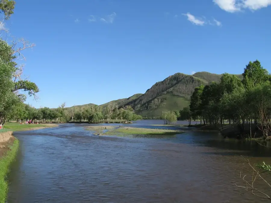
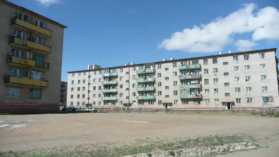
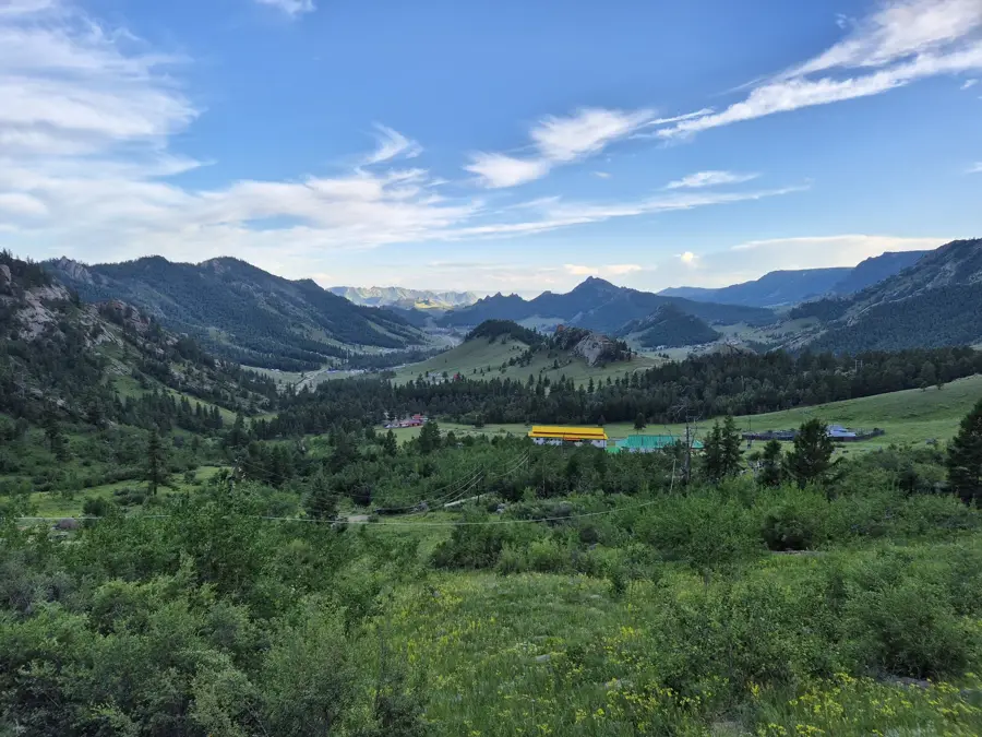
The Tuul River, often called the 'Queen Tuul' in Mongolian folklore, is an approximately 704-kilometer-long river that flows through central Mongolia and the capital city, Ulaanbaatar. It originates in the Khan-Khentii Mountains, a region considered sacred and closely associated with the history of Genghis Khan. The river is a vital resource for the nation, serving as the primary water source for Ulaanbaatar's residents and industries. Along its course, the Tuul traverses diverse landscapes, from alpine forests to arid steppes. Near the capital, however, the river faces significant environmental issues, including pollution from industrial runoff and over-extraction, which has led to fluctuating water levels. Despite these challenges, the Tuul remains a popular recreational area for city dwellers and a crucial habitat for fish species like the taimen and various migratory birds. In winter, the river freezes solid, often serving as a natural ice rink or a path for transportation. Government and international conservation efforts are ongoing to improve water quality and preserve the delicate ecosystem of the Tuul River valley.
- Location: Mongolia
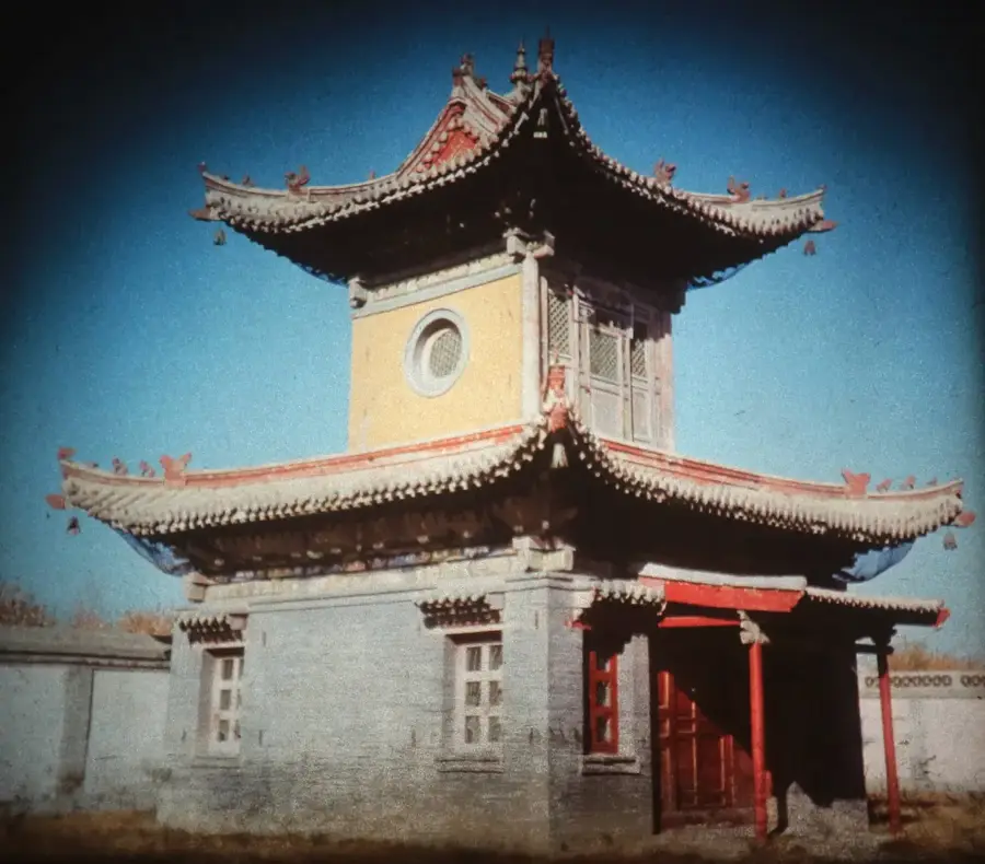
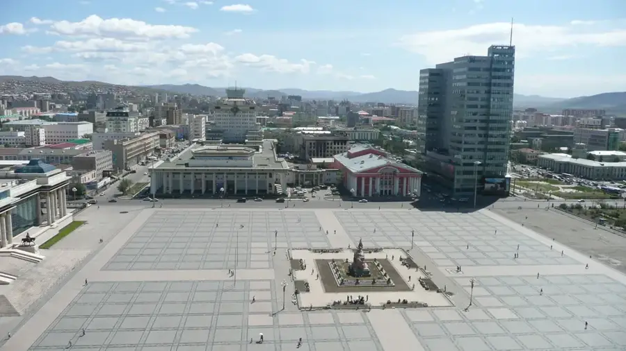
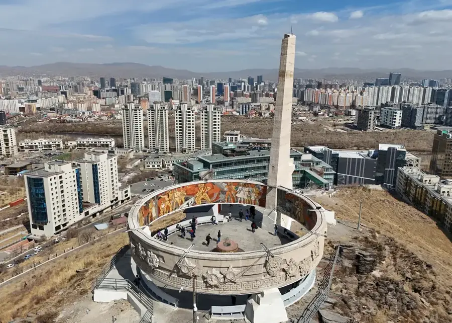
- Top sights: Ulaanbaatar sign · World Peace Bell · Egg mart
- Nearby: Züünmod (8 km)
Best time to visit & climate
The most pleasant time to visit is Jun–Aug.
| Jan | Feb | Mar | Apr | May | Jun | Jul | Aug | Sep | Oct | Nov | Dec | |
|---|---|---|---|---|---|---|---|---|---|---|---|---|
| Avg °C | -21 | -18 | -9 | 1 | 7 | 15 | 17 | 15 | 8 | -1 | -11 | -19 |
| Rain mm | 3 | 4 | 6 | 10 | 29 | 48 | 68 | 61 | 25 | 11 | 8 | 4 |
📋 Practical info
Geography
Facts
- Flows for a total length of approximately 704 kilometers.
- Passes directly through the center of Ulaanbaatar city.
- Originates in the Khan Khentii Strictly Protected Area.
- Provides the majority of the water supply for the capital.
- Tributary of the Orkhon River, which leads to the Selenge.
- Sacred to Mongolians and mentioned in historical chronicles.
Explore nearby
Notable places around
Route planner — Car & Motorhome
Where do you start? We build the route here, with stops and country notes along the way.
© OpenStreetMap contributors · OpenRouteService
Sights in the town Tuul River (3)
Sights nearby
Frequently asked questions
Where does the Tuul River flow?
Is the water clean?
Can you have a picnic there?
How is the current?
Are there hiking trails along the river?
Tuul River: where is it located?
Tuul River: what is there to see?
Tuul River: when is the best time to visit?
Tuul River: why is it worth visiting?

Nearby cities

More places