Plizio Visual Lab
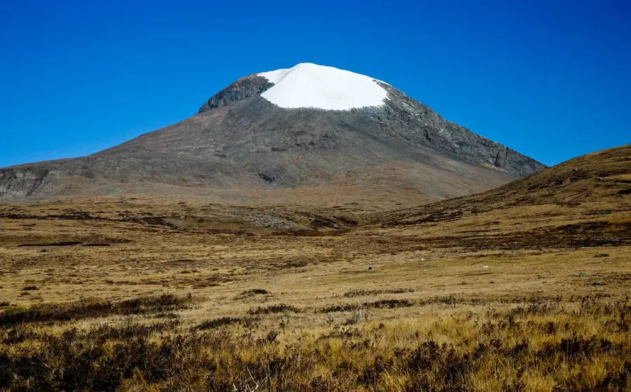
Tarvagatai Range

Weather…
Water temperature…
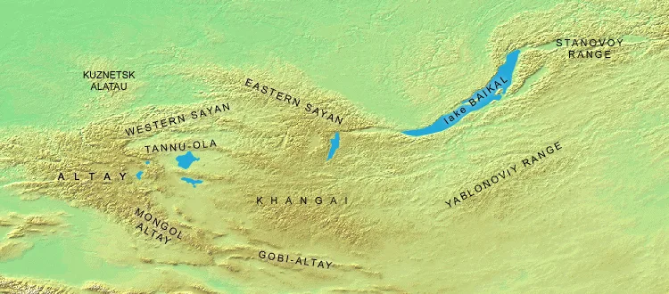
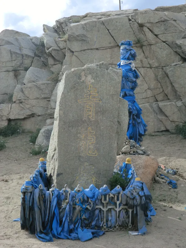
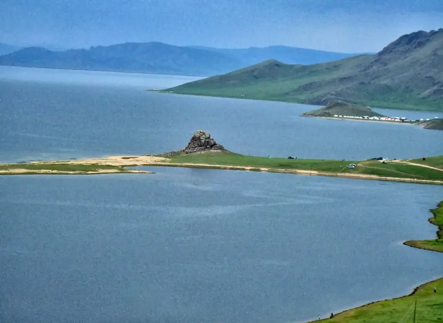
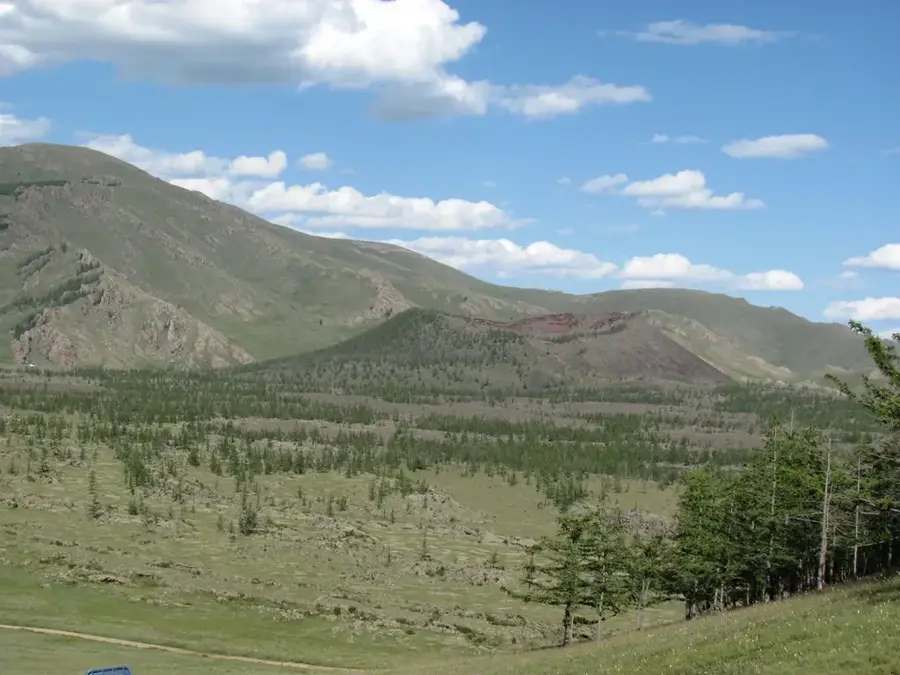
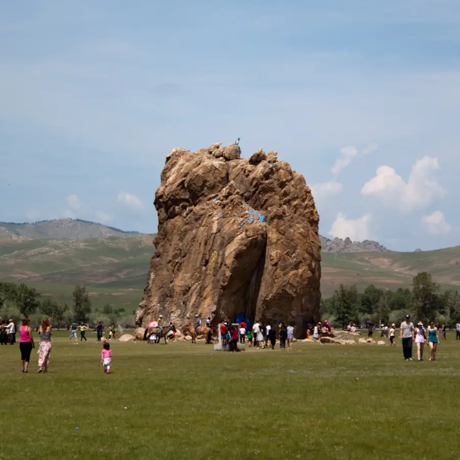
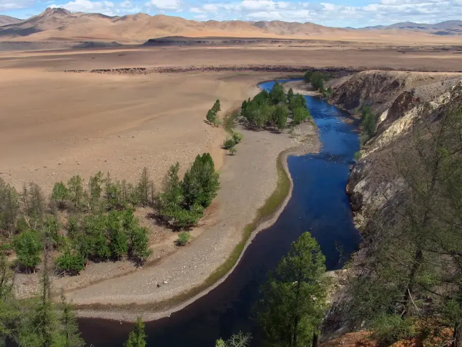
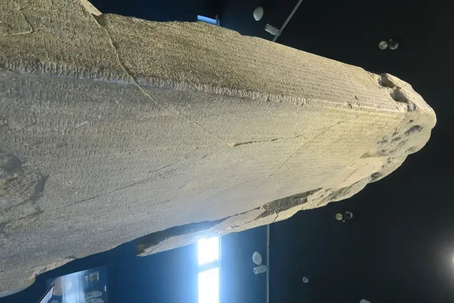
The Tarvagatai Range is a significant subrange of the Khangai Mountains located in central-northern Mongolia, primarily within the Arkhangai Province. The range features several peaks exceeding 3200 meters above sea level, showcasing a rugged terrain shaped by ancient glacial activity and tectonic shifts. Geologically, it is composed of metamorphic rocks and granitic intrusions dating back to the Paleozoic era. The landscape is a mosaic of dense larch forests, alpine meadows, and vast mountain steppes that support a diverse range of flora and fauna. The climate is harshly continental, characterized by extremely cold winters where temperatures frequently plummet below -40 degrees Celsius and brief summers. This region serves as a crucial watershed, with numerous streams feeding into the Selenge river system, providing essential water for nomadic livestock. Historical significance is found in the many deer stones and ancient burial mounds (kurgans) that date back to the Bronze Age and the Xiongnu Empire. To preserve this unique ecological transition zone, the Mongolian government established the Tarvagatai Nuruu National Park in 2000, covering approximately 5270 square kilometers of protected wilderness.
- Location: Mongolia
- Nearby: Otgontenger (5 km)
Best time to visit & climate
The most pleasant time to visit is Jun–Aug.
| Jan | Feb | Mar | Apr | May | Jun | Jul | Aug | Sep | Oct | Nov | Dec | |
|---|---|---|---|---|---|---|---|---|---|---|---|---|
| Avg °C | -22 | -19 | -11 | -2 | 4 | 11 | 13 | 11 | 4 | -4 | -12 | -19 |
| Rain mm | 4 | 6 | 7 | 14 | 22 | 47 | 61 | 55 | 21 | 12 | 9 | 6 |
📋 Practical info
Geography
Facts
- The highest peak in the range reaches an elevation of approximately 3227 meters.
- Tarvagatai Nuruu National Park was established by the state in the year 2000.
- The protected area covers a total of roughly 5,270 square kilometers.
- More than 50 species of mammals are documented within the park boundaries.
- Ancient deer stones in the area date back to the 1st millennium BCE.
- Winter temperatures in the high valleys often drop below -40 degrees Celsius.
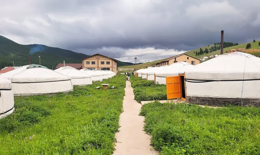
Explore nearby
Notable places around
Route planner — Car & Motorhome
Where do you start? We build the route here, with stops and country notes along the way.
© OpenStreetMap contributors · OpenRouteService
Sights in the town Tarvagatai Range (1)
Sights nearby
Frequently asked questions
What is special about the Tarwagatai range?
Is it good for hiking?
What equipment do I need for trekking?
Are there dangerous animals in the mountains?
Is the area attractive in winter too?
Tarvagatai Range: where is it located?
Tarvagatai Range: when is the best time to visit?
Tarvagatai Range: why is it worth visiting?

Nearby cities
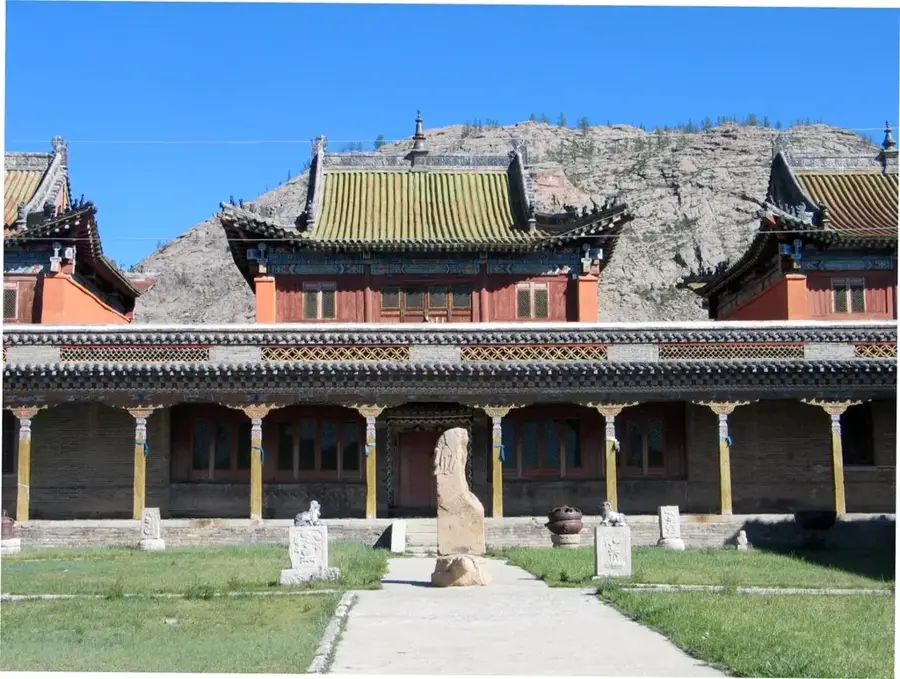
History & landmarks
Nature
More places