Plizio Visual Lab
Tsambagarav Mountain
Weather…
Water temperature…
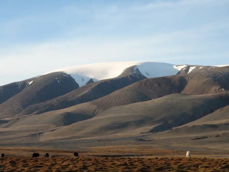
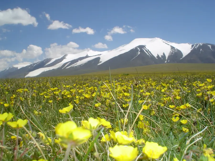
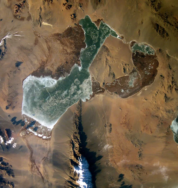
Tsambagarav is a prominent, glacier-capped mountain massif in the Mongolian Altai, situated on the border between the Bayan-Ölgii and Khovd provinces. Reaching a maximum elevation of 4,208 meters at the Tsast Uul peak, it is among the highest mountains in Mongolia. The massif is famous for its broad plateaus and permanent ice caps that persist even through the warm summer months. Geologically, the mountain was shaped by tectonic uplift and glacial erosion, resulting in steep flanks and deep surrounding valleys. The area around Tsambagarav was designated a national park in 2000 to protect the sensitive alpine ecosystem and endangered species like the snow leopard. Culturally, the mountain is considered sacred by local Mongolian and Kazakh nomads. it serves as an essential grazing ground for livestock, with herds often driven to high altitudes. The region is also rich in archaeological remains, such as deer stones and ancient burial sites, indicating a long history of human presence.
- Location: Mongolia
- Nearby: Tsambagarav (13 km)
Best time to visit & climate
The most pleasant time to visit is Jun–Aug.
| Jan | Feb | Mar | Apr | May | Jun | Jul | Aug | Sep | Oct | Nov | Dec | |
|---|---|---|---|---|---|---|---|---|---|---|---|---|
| Avg °C | -17 | -14 | -6 | 2 | 8 | 14 | 16 | 14 | 7 | 0 | -8 | -15 |
| Rain mm | 2 | 3 | 5 | 8 | 18 | 35 | 42 | 34 | 12 | 5 | 4 | 3 |
📋 Practical info
Geography
Facts
- Highest peak is Tsast Uul at 4,208 meters
- Tsambagarav National Park was established in 2000
- The national park covers an area of about 1,110 km²
- The mountain hosts a high density of snow leopards
- Permanent ice covers the summit region year-round
- Archaeological deer stones are located at its base
Explore nearby
Notable places around
Route planner — Car & Motorhome
Where do you start? We build the route here, with stops and country notes along the way.
© OpenStreetMap contributors · OpenRouteService
Sights nearby
Frequently asked questions
Is Tsambagarav Mountain accessible to tourists?
Are there local nomads there?
What transport is best?
What is the difficulty of the hike?
Are there accommodations nearby?
Tsambagarav Mountain: where is it located?
Tsambagarav Mountain: when is the best time to visit?
Tsambagarav Mountain: why is it worth visiting?

Nearby cities


Nature
More places