Plizio Visual Lab
Struve Geodetic Arc (Rudi)
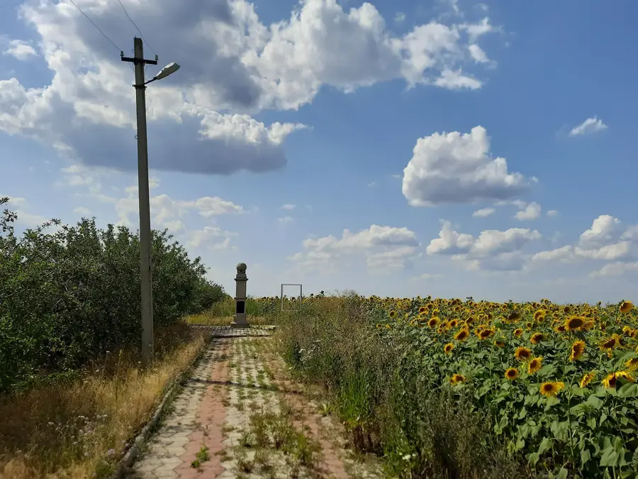
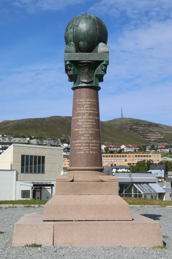
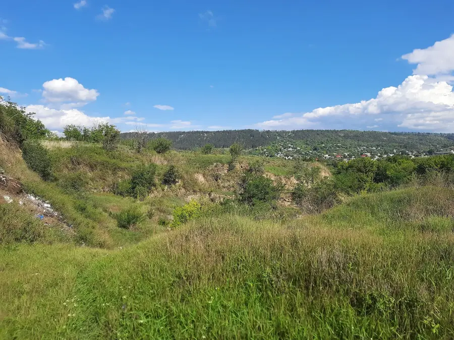
The Struve Geodetic Arc is a network of survey triangulations stretching from Norway to the Black Sea, and the point near Rudi village is the only UNESCO World Heritage site in Moldova. Established between 1816 and 1855 by the astronomer Friedrich Georg Wilhelm Struve, the arc was instrumental in determining the exact size and shape of the Earth. The Rudi station was measured in 1847 and is currently marked by a commemorative obelisk erected in 2006. This scientific landmark represents a masterpiece of 19th-century geodesy and exceptional international scientific cooperation across ten modern nations. The entire arc originally consisted of 265 main station points, with 34 of them protected under the UNESCO listing since 2005. Its preservation highlights the critical importance of precise measurement in the development of modern cartography and satellite navigation systems. The site provides a unique look into the history of how humanity accurately mapped the physical dimensions of the planet.
- Location: Moldova
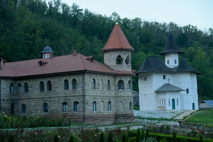
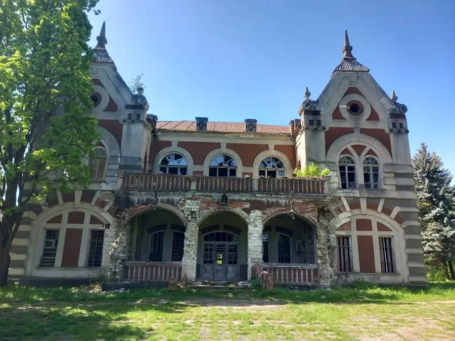
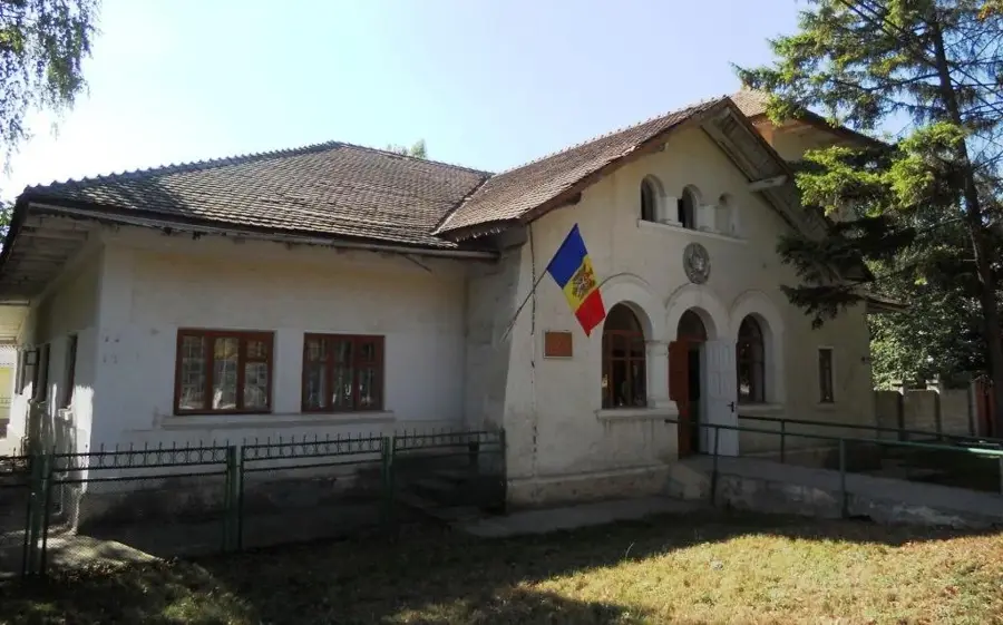
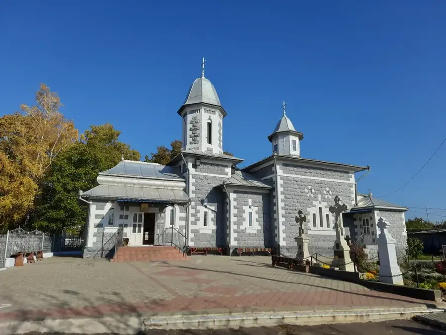
- Top sights: Struve Geodetic Arc Point · Biserica din lemn „Preasfintei Fecioare” (1870)
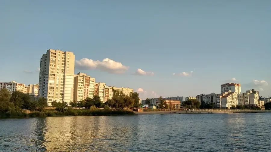
- Nearby: Otaci (14 km)
Best time to visit & climate
The most pleasant time to visit is Jun–Aug.
| Jan | Feb | Mar | Apr | May | Jun | Jul | Aug | Sep | Oct | Nov | Dec | |
|---|---|---|---|---|---|---|---|---|---|---|---|---|
| Avg °C | -5 | -3 | 2 | 9 | 16 | 19 | 22 | 21 | 16 | 9 | 3 | -3 |
| Rain mm | 36 | 37 | 40 | 43 | 62 | 78 | 75 | 48 | 47 | 44 | 40 | 35 |
📋 Practical info
Geography
Facts
- The Rudi survey point was added to the UNESCO World Heritage list in 2005.
- Original geodetic measurements at the Rudi station were taken in 1847.
- The entire Struve Geodetic Arc spans a total length of 2,820 kilometers.
- The network currently crosses the borders of 10 different modern countries.
- The commemorative obelisk at the site was officially unveiled in 2006.
- The arc was established between 1816 and 1855 to measure the Earth's size.
Explore nearby
Notable places around
Route planner — Car & Motorhome
Where do you start? We build the route here, with stops and country notes along the way.
© OpenStreetMap contributors · OpenRouteService
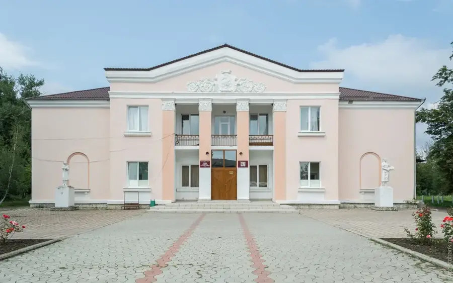
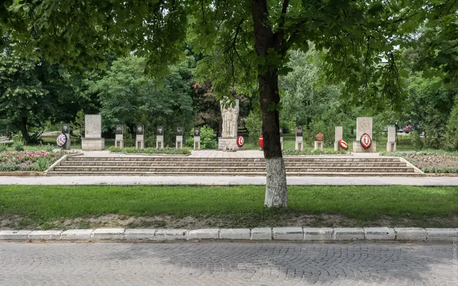
Sights in the town Struve Geodetic Arc (Rudi) (2)
Sights nearby
Frequently asked questions
What exactly is the Struve Geodetic Arc in Rudi?
Is the Struve Arc a UNESCO World Heritage site?
How to find the marker in Rudi?
Do I have to pay an entrance fee?
When were the measurements carried out?
Struve Geodetic Arc (Rudi): where is it located?
Struve Geodetic Arc (Rudi): what is there to see?
Struve Geodetic Arc (Rudi): when is the best time to visit?
Struve Geodetic Arc (Rudi): why is it worth visiting?

Nearby cities

History & landmarks
Nature
More places