Plizio Visual Lab
Naslavcea Hills
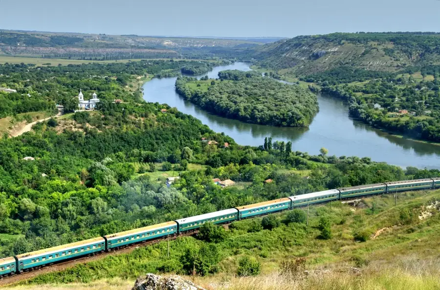
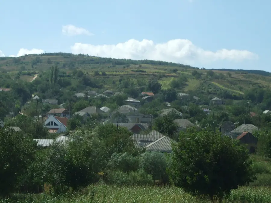
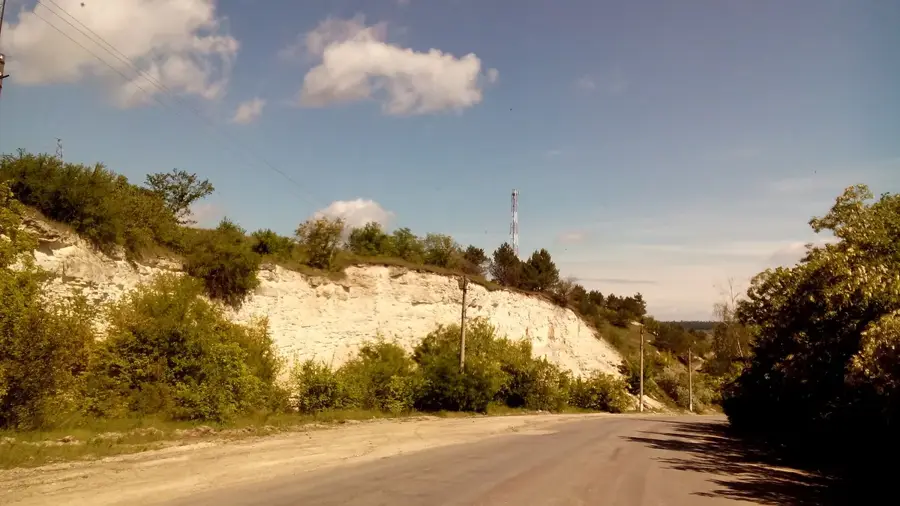
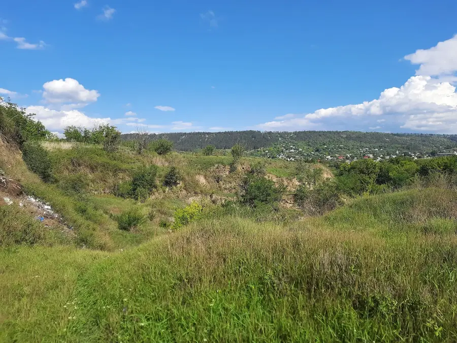
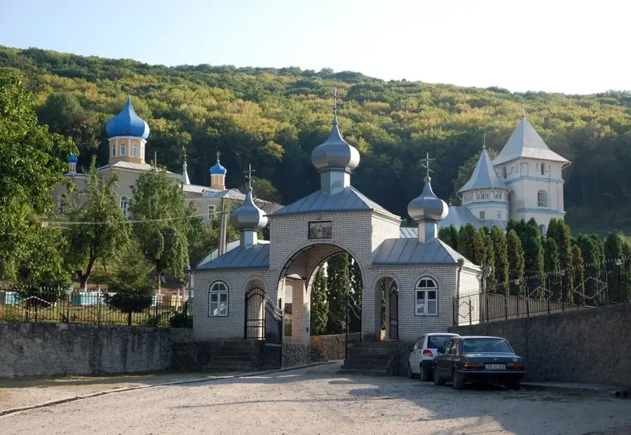
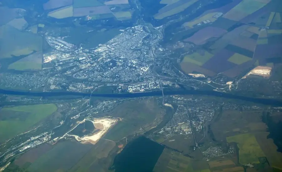
The Naslavcea Hills, located at the northernmost tip of Moldova in the Ocnița District, present some of the country's most dramatic landscapes. Geographically, the area is defined by a sharp bend in the Dniester River, which has carved deep canyons through Cretaceous and Paleogene rock layers. Historically, Naslavcea is renowned for its geological outcrops where scientists have discovered plant and animal fossils dating back millions of years. A standout feature of the region is the 'Blue Lake,' a flooded former shale quarry famous for its animated turquoise waters. The high vantage points on the hills offer sweeping views across the river valley and into neighboring Ukraine. Culturally, the region remains significant for preserving traditional Moldovan rural architecture and a pristine natural environment. Due to its complex geomorphology and rare flora, the area is protected as a national geological and paleontological monument. Today, Naslavcea is a favored destination for nature photographers and hikers seeking the untouched beauty of northern Moldova.
- Location: Moldova
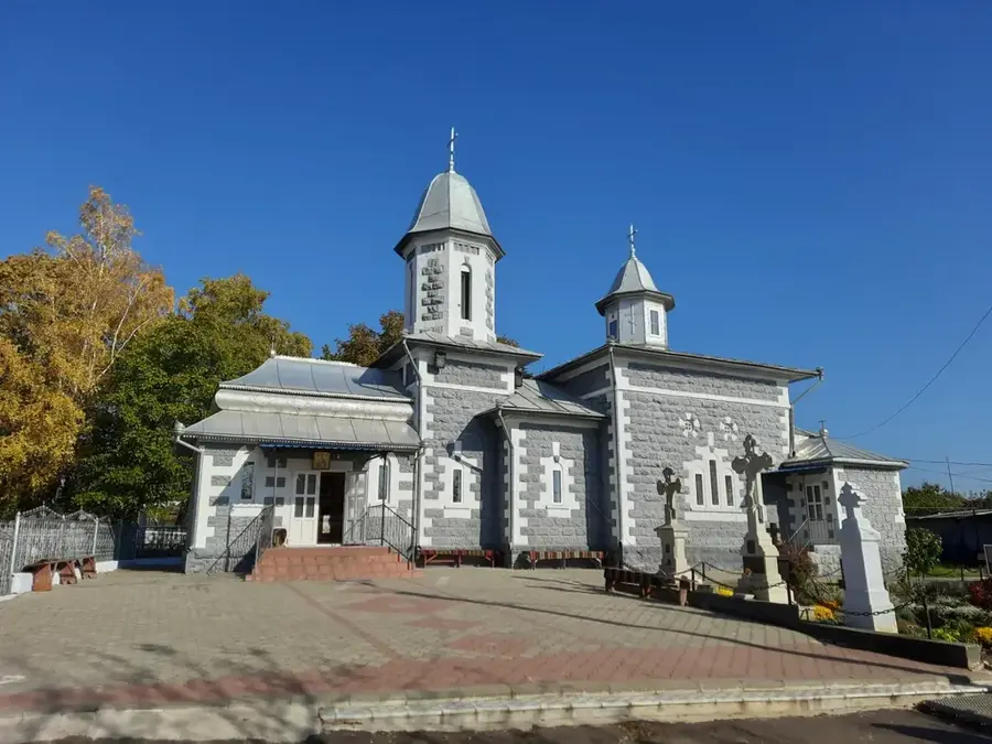
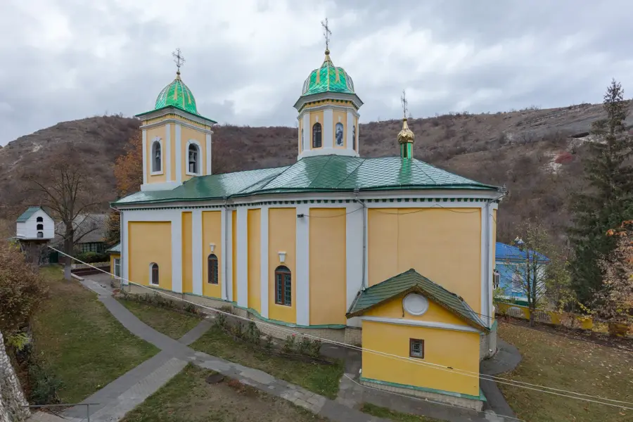
- Top sights: Belvedere spre "Inima Nistrului" · Rîpa Rudi (Rudîi Iar) · Rîpa lui Carp (Carpov Iar)
- Nearby: Frunză (7 km)
Best time to visit & climate
The most pleasant time to visit is Jun–Aug.
| Jan | Feb | Mar | Apr | May | Jun | Jul | Aug | Sep | Oct | Nov | Dec | |
|---|---|---|---|---|---|---|---|---|---|---|---|---|
| Avg °C | -5 | -3 | 3 | 9 | 16 | 19 | 22 | 21 | 16 | 9 | 3 | -3 |
| Rain mm | 35 | 37 | 41 | 46 | 63 | 81 | 80 | 52 | 46 | 46 | 40 | 35 |
📋 Practical info
Geography
Facts
- The northernmost point of the Republic of Moldova.
- Famous for fossils from the Cretaceous period.
- Home to the 'Blue Lake,' a flooded quarry.
- The Dniester River makes a 180-degree turn here.
- A protected geological and paleontological site.
- Located in the Ocnița District near Ukraine.
Explore nearby
Notable places around
Route planner — Car & Motorhome
Where do you start? We build the route here, with stops and country notes along the way.
© OpenStreetMap contributors · OpenRouteService
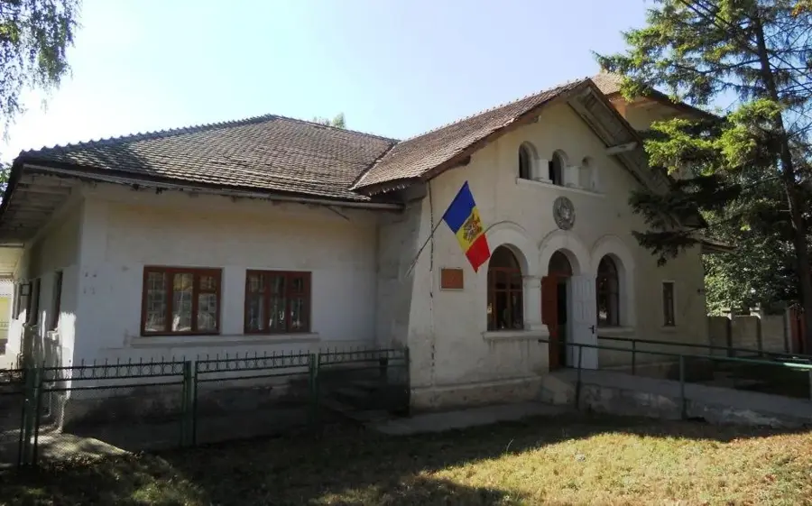
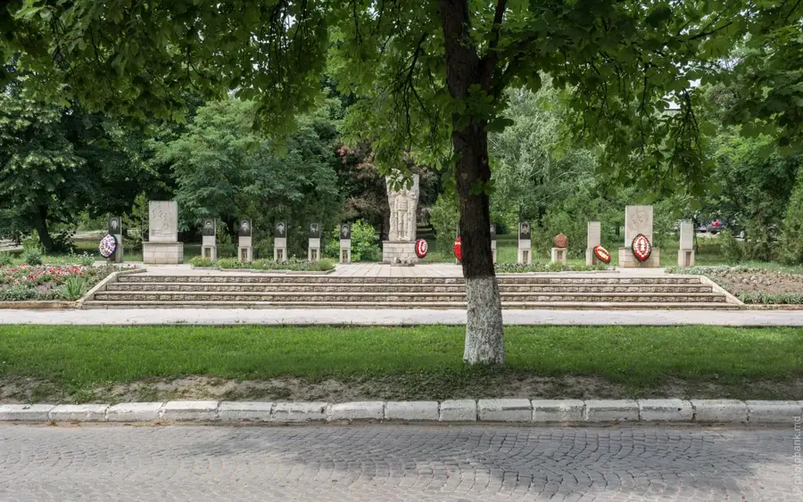
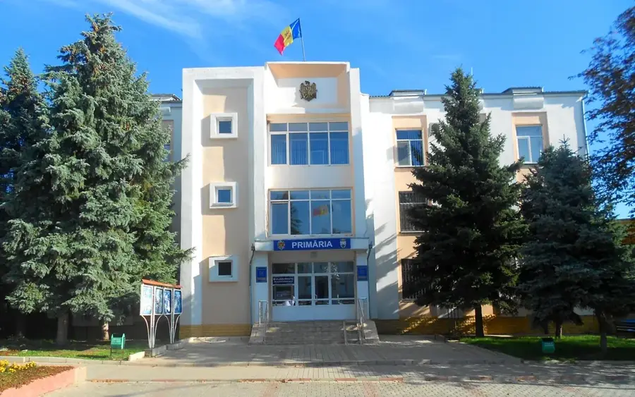
Sights in the town Naslavcea Hills (4)
Sights nearby
Frequently asked questions
Where is Naslavcea located?
Is there an island there?
What are the 'Carpatii Moldovei'?
Can you find fossils there?
Is the path to the viewpoints marked?
Naslavcea Hills: where is it located?
Naslavcea Hills: what is there to see?
Naslavcea Hills: when is the best time to visit?
Naslavcea Hills: why is it worth visiting?

Nearby cities
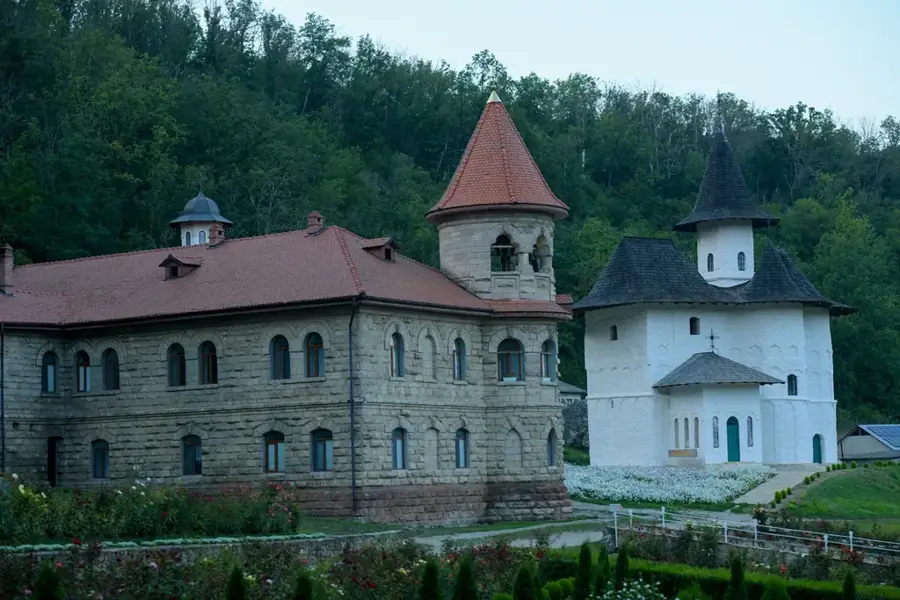
History & landmarks
Nature
More places