Plizio Visual Lab
Măgura Hill
Weather…
Water temperature…
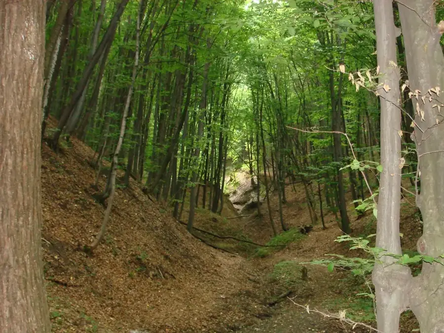
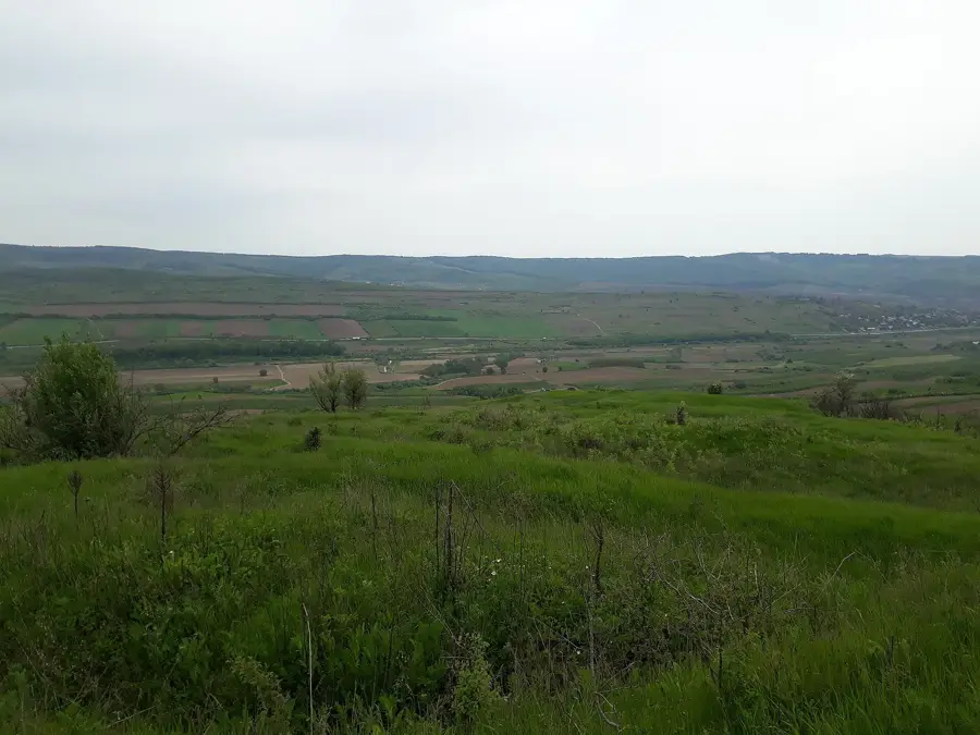
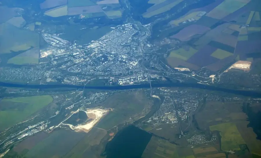
Măgura Hill is one of the most prominent elevations in western Moldova, situated on the border between the Ungheni and Fălești districts. Standing at 388.8 meters above sea level, it significantly overlooks the surrounding plain and possesses an almost first-rate conical shape, making it resemble a volcano from a distance. Geologically, the hill consists of Neogene limestones exposed through tectonic uplifts and subsequent erosion. Historically, the summit often served as an observation point or for signal fires due to its excellent visibility across dozens of kilometers. The slopes of Măgura Hill are partially forested but also house valuable dry grassland biotopes with high biodiversity of insects and rare plants. The name 'Măgura' is a common term in the Romanian language for isolated, dome-shaped hills. Today, the site is a popular destination for hikers, offering a wide panoramic view across the Prut valley to the Romanian Carpathians on clear days.
- Location: Moldova
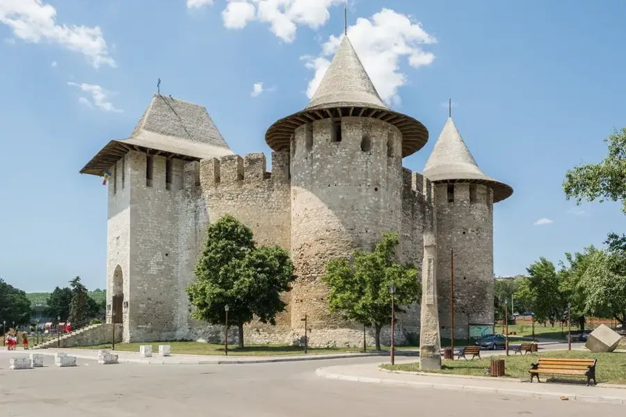
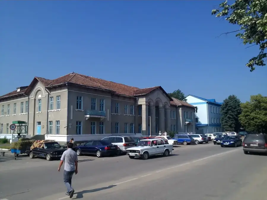
- Nearby: Cornești (16 km)
Best time to visit & climate
The most pleasant time to visit is Jun, Aug, Sep.
| Jan | Feb | Mar | Apr | May | Jun | Jul | Aug | Sep | Oct | Nov | Dec | |
|---|---|---|---|---|---|---|---|---|---|---|---|---|
| Avg °C | -4 | -2 | 4 | 10 | 17 | 21 | 23 | 23 | 17 | 10 | 4 | -2 |
| Rain mm | 36 | 33 | 37 | 48 | 57 | 73 | 69 | 43 | 39 | 46 | 38 | 37 |
📋 Practical info
Geography
Facts
- At 388.8 meters, it is one of the highest isolated hills in the country.
- The hill is part of the Bălți Uplands in western Moldova.
- The summit offers a 360-degree panoramic view of the surrounding region.
- Archaeological traces from the Cucuteni culture were found nearby.
- The flora includes rare species such as the spring pheasant's eye.
- A local festival is held annually at the foot of the hill.
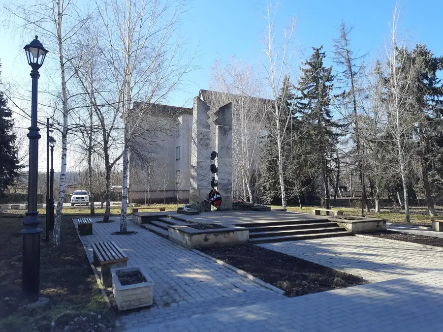
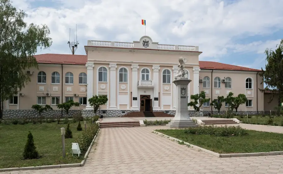
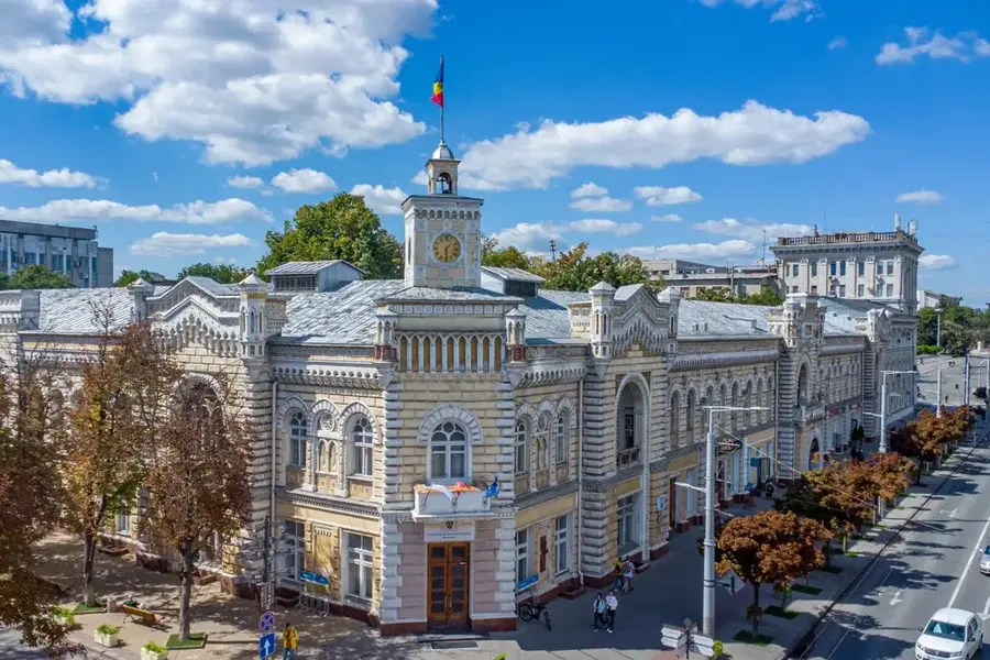
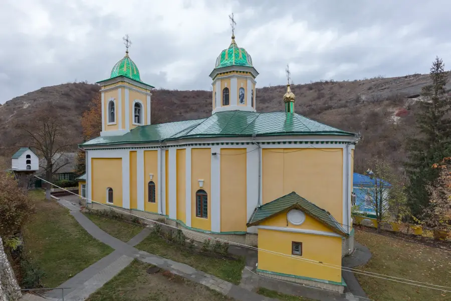
Explore nearby
Notable places around
Route planner — Car & Motorhome
Where do you start? We build the route here, with stops and country notes along the way.
© OpenStreetMap contributors · OpenRouteService
Sights nearby
Frequently asked questions
How high is Măgura Hill?
Where is this hill located?
What is special about the relief of Măgura?
Can you see far from the summit?
Is the hill used for agricultural purposes?
Măgura Hill: where is it located?
Măgura Hill: when is the best time to visit?
Măgura Hill: why is it worth visiting?

Nearby cities
History & landmarks
More places