Plizio Visual Lab
Balanesti Hill
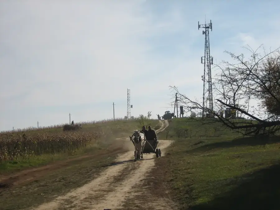
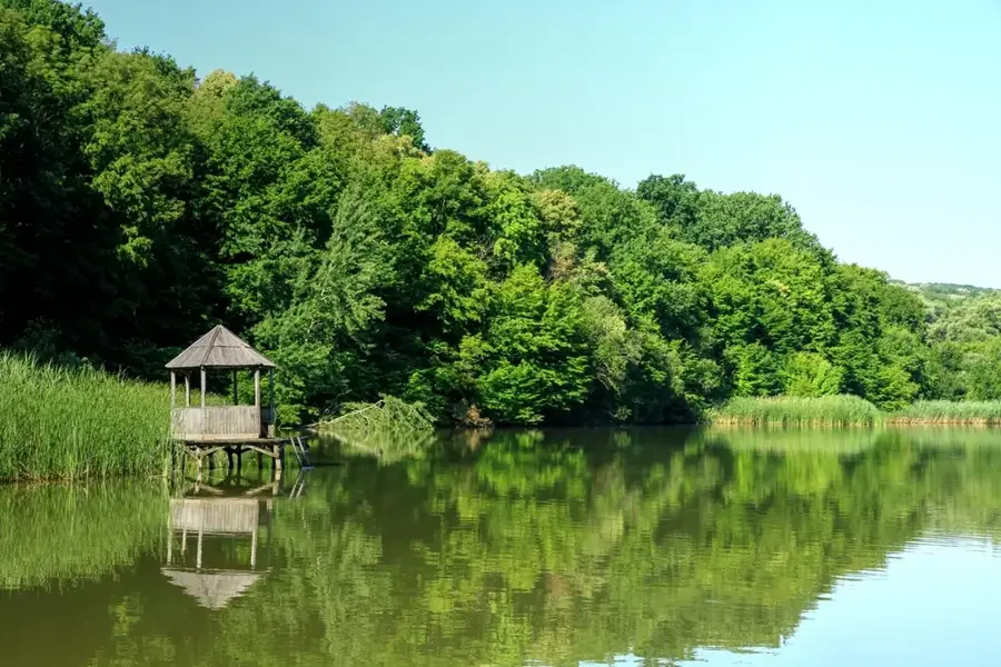
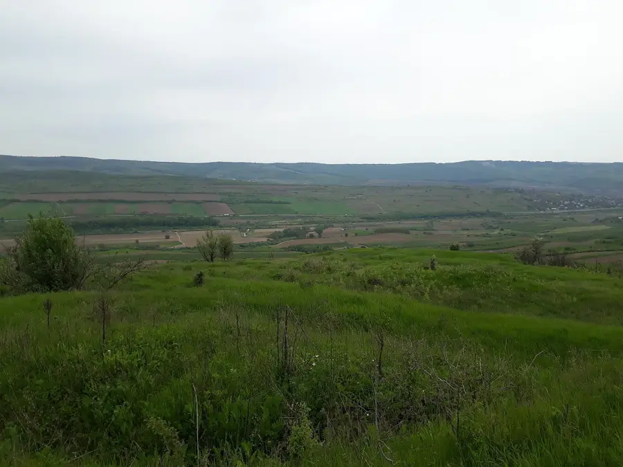
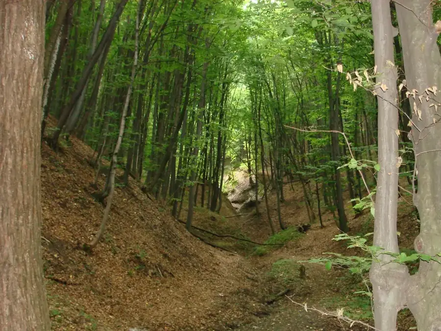
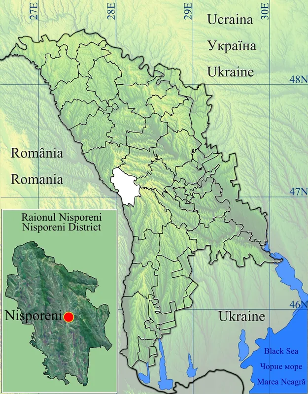
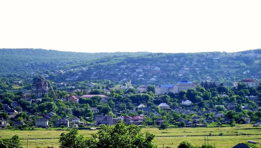
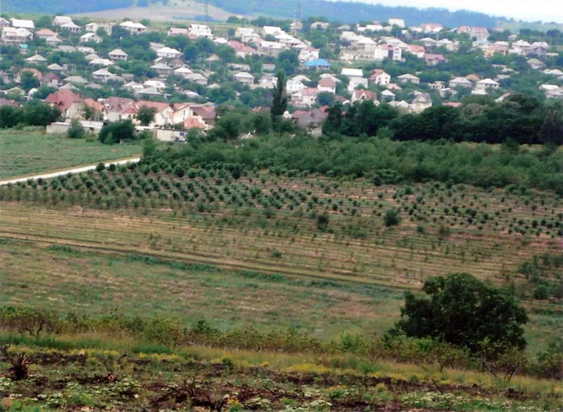
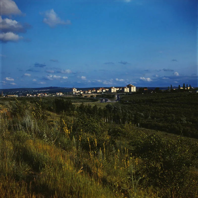
Bălănești Hill (Dealul Bălănești) is the highest point in the Republic of Moldova, reaching an elevation of 429.5 meters above sea level. Located in the Nisporeni District near the village of Bălănești, it is part of the Central Moldovan Plateau, widely known as the Codru region. Geographically, the hill serves as the summit of a rolling landscape shaped by millions of years of erosion and tectonic uplift. Its slopes are primarily covered by dense deciduous forests dominated by oak and hornbeam, giving the area significant ecological importance. Historically, the surrounding region acted as a strategic refuge and landmark during various eras. On clear days, the hilltop has expansive panoramic views of the Moldovan countryside. Because the hill features a relatively flat plateau rather than a sharp peak, it is easily accessible for hikers and outdoor enthusiasts. Today, Bălănești Hill is a prominent destination for domestic tourism and a key symbol of the nation's geographic identity.
- Location: Moldova
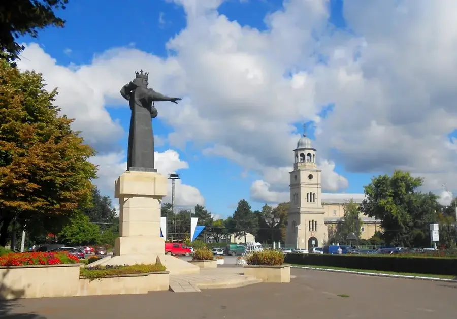
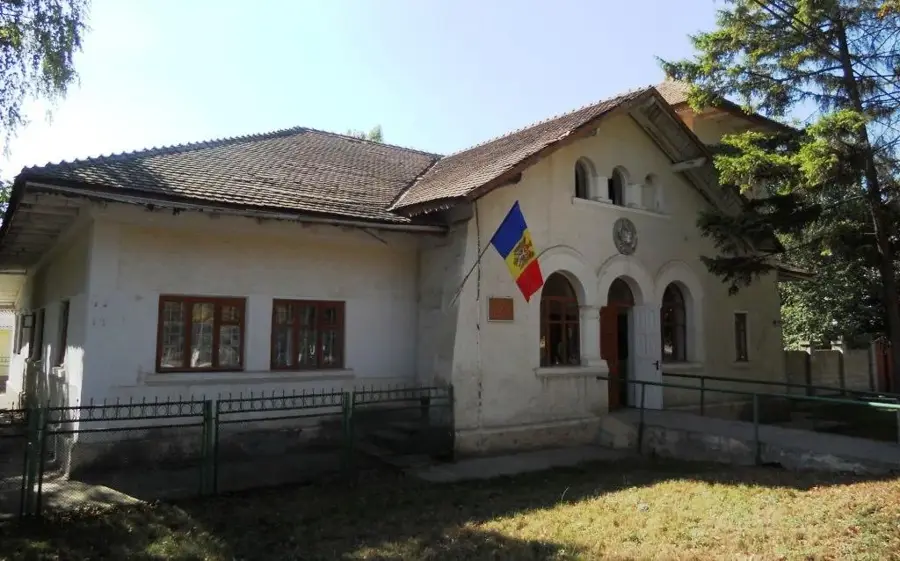
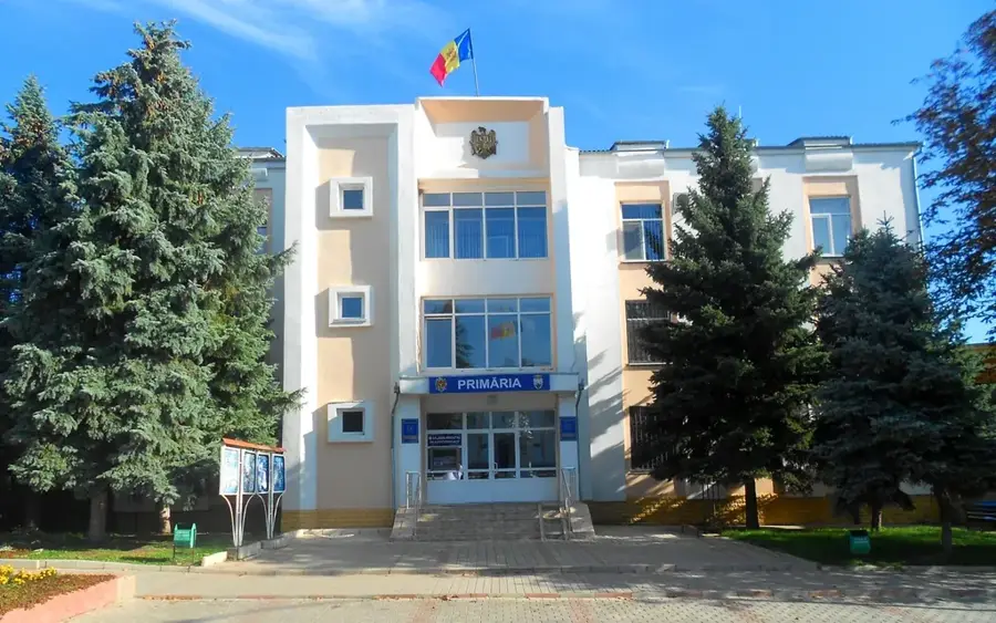
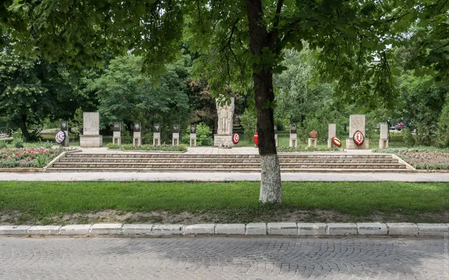
- Top sights: Rezervația peisagistică Cazimir–Milești · Bălănești Hill · Parcul din satul Milești
- Nearby: Nisporeni (17 km)
Best time to visit & climate
The most pleasant time to visit is Jun, Aug, Sep.
| Jan | Feb | Mar | Apr | May | Jun | Jul | Aug | Sep | Oct | Nov | Dec | |
|---|---|---|---|---|---|---|---|---|---|---|---|---|
| Avg °C | -4 | -2 | 4 | 10 | 17 | 21 | 23 | 23 | 17 | 10 | 4 | -2 |
| Rain mm | 36 | 32 | 37 | 46 | 57 | 76 | 69 | 41 | 37 | 48 | 38 | 38 |
📋 Practical info
Geography
Facts
- Highest elevation in Moldova at 429.5 meters.
- Located in the Nisporeni District near Bălănești.
- Part of the Central Moldovan Plateau (Codru).
- Slopes are forested with oak and hornbeam.
- Geologically classified as an erosional plateau.
- A significant site for geodesy and cartography.
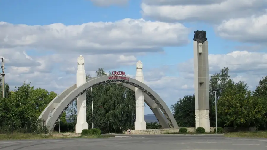
Explore nearby
Notable places around
Route planner — Car & Motorhome
Where do you start? We build the route here, with stops and country notes along the way.
© OpenStreetMap contributors · OpenRouteService
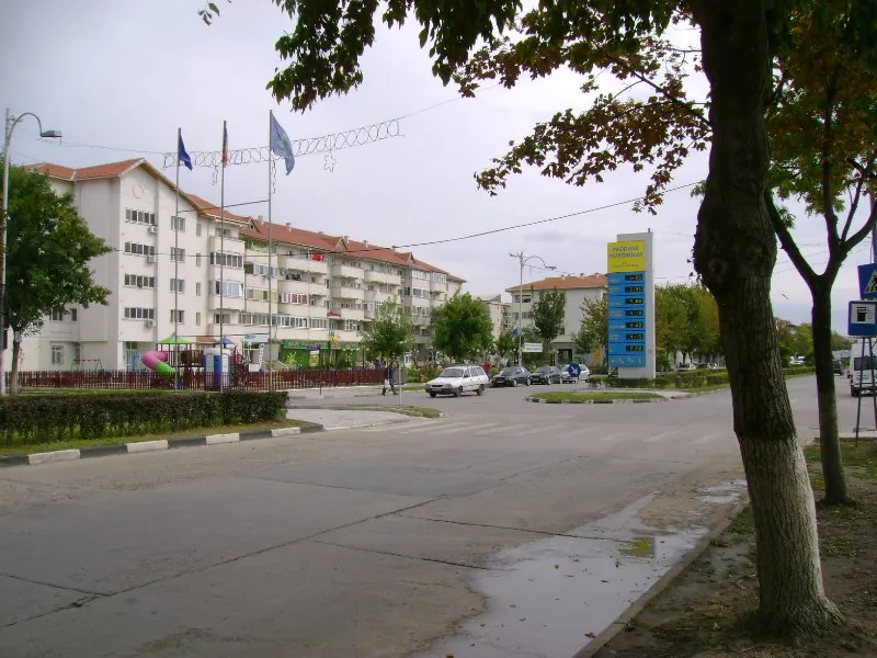
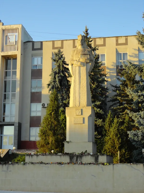
Sights in the town Balanesti Hill (4)
Sights nearby
Frequently asked questions
How high is Bălănești Hill?
How do you reach the summit?
Is there an observation platform at the top?
Is the climb strenuous?
Can you drive to the top?
Balanesti Hill: where is it located?
Balanesti Hill: what is there to see?
Balanesti Hill: when is the best time to visit?
Balanesti Hill: why is it worth visiting?

Nearby cities
History & landmarks
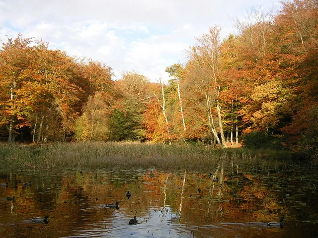
Nature

More places